Sowe Mouth Plantation
Wood, Forest in Warwickshire Warwick
England
Sowe Mouth Plantation
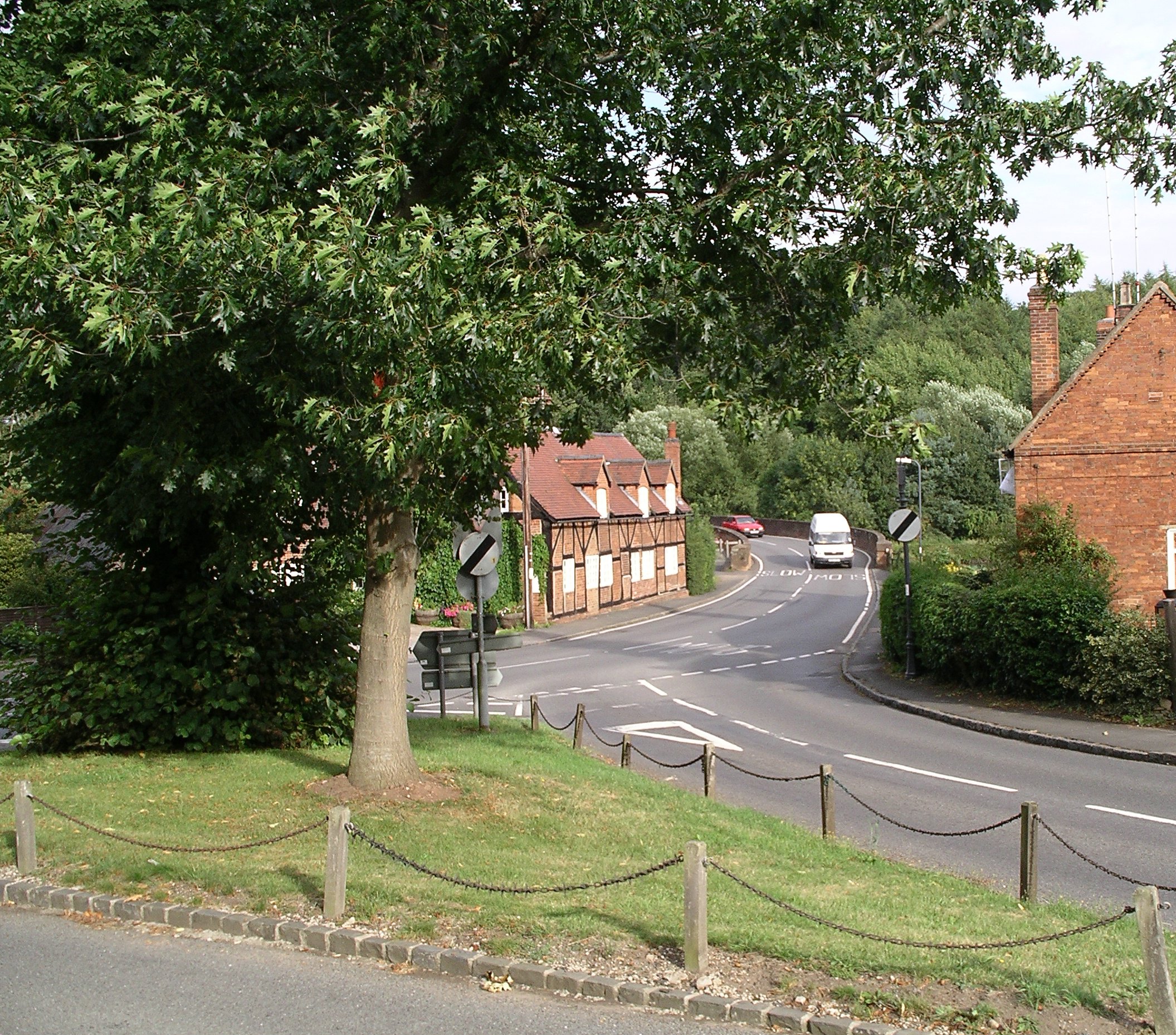
Sowe Mouth Plantation is a picturesque woodland situated in Warwickshire, England. Spanning over a vast area, it is located near the village of Wood and is renowned for its natural beauty and diverse range of flora and fauna.
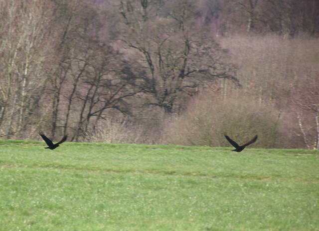
This enchanting forest boasts a mix of deciduous and coniferous trees, including oak, beech, birch, pine, and spruce, creating a rich tapestry of colors throughout the year. The dense vegetation provides a habitat for numerous wildlife species, such as deer, foxes, rabbits, and a variety of bird species, making it a popular destination for nature enthusiasts and birdwatchers.
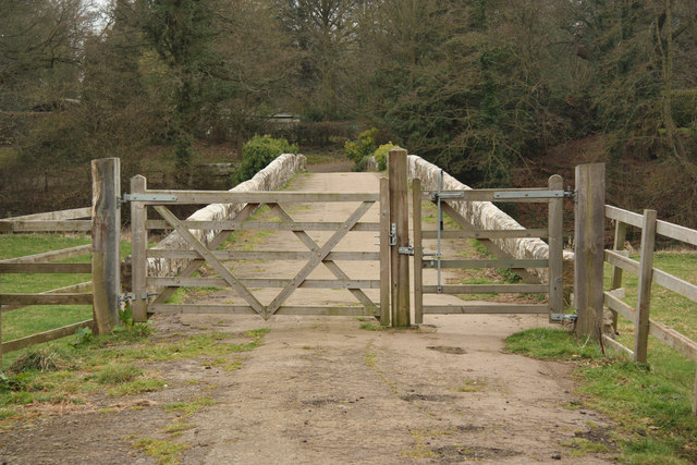
The plantation is crisscrossed by well-maintained footpaths, offering visitors the opportunity to explore the area and immerse themselves in its tranquil ambiance. As they wander through the woodland, visitors can marvel at the towering trees, listen to the soothing sounds of birdsong, and breathe in the fresh, earthy scent of the forest.
Sowe Mouth Plantation also features a small river that meanders through its heart, adding to its charm and providing a serene backdrop for visitors to enjoy. The river is home to various aquatic creatures, including fish and amphibians, making it an ideal spot for wildlife observation.
Throughout the year, the plantation hosts a range of events and activities, such as guided nature walks, educational programs, and conservation initiatives, aiming to promote environmental awareness and the importance of preserving this natural treasure.
In summary, Sowe Mouth Plantation in Warwickshire is a captivating woodland that offers visitors a chance to escape the hustle and bustle of everyday life and immerse themselves in the beauty of nature. With its diverse ecosystem, scenic trails, and abundant wildlife, it is a haven for nature lovers and a testament to the wonders of the natural world.
If you have any feedback on the listing, please let us know in the comments section below.
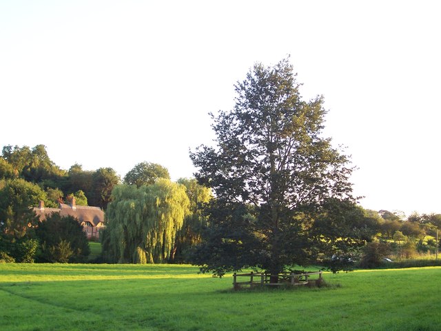
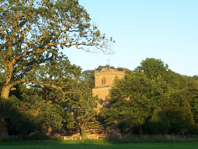
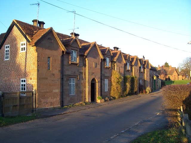
Sowe Mouth Plantation Images
Images are sourced within 2km of 52.348326/-1.5263527 or Grid Reference SP3272. Thanks to Geograph Open Source API. All images are credited.


Sowe Mouth Plantation is located at Grid Ref: SP3272 (Lat: 52.348326, Lng: -1.5263527)
Administrative County: Warwickshire
District: Warwick
Police Authority: Warwickshire
What 3 Words
///fence.sends.bleak. Near Kenilworth, Warwickshire
Nearby Locations
Related Wikis

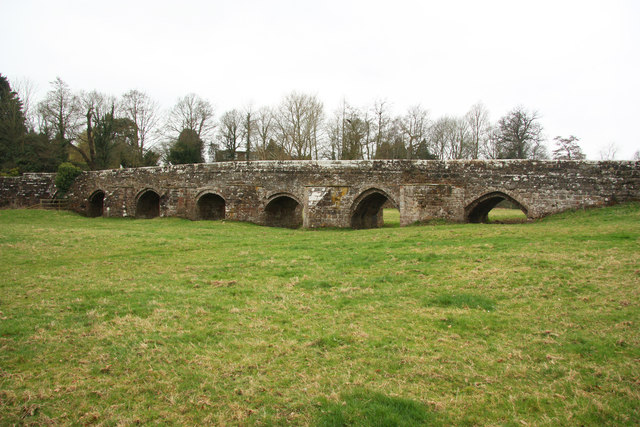
River Sowe
The River Sowe is a river in Warwickshire and West Midlands, England. It is a tributary of the River Avon, and flows into it just south of Stoneleigh...
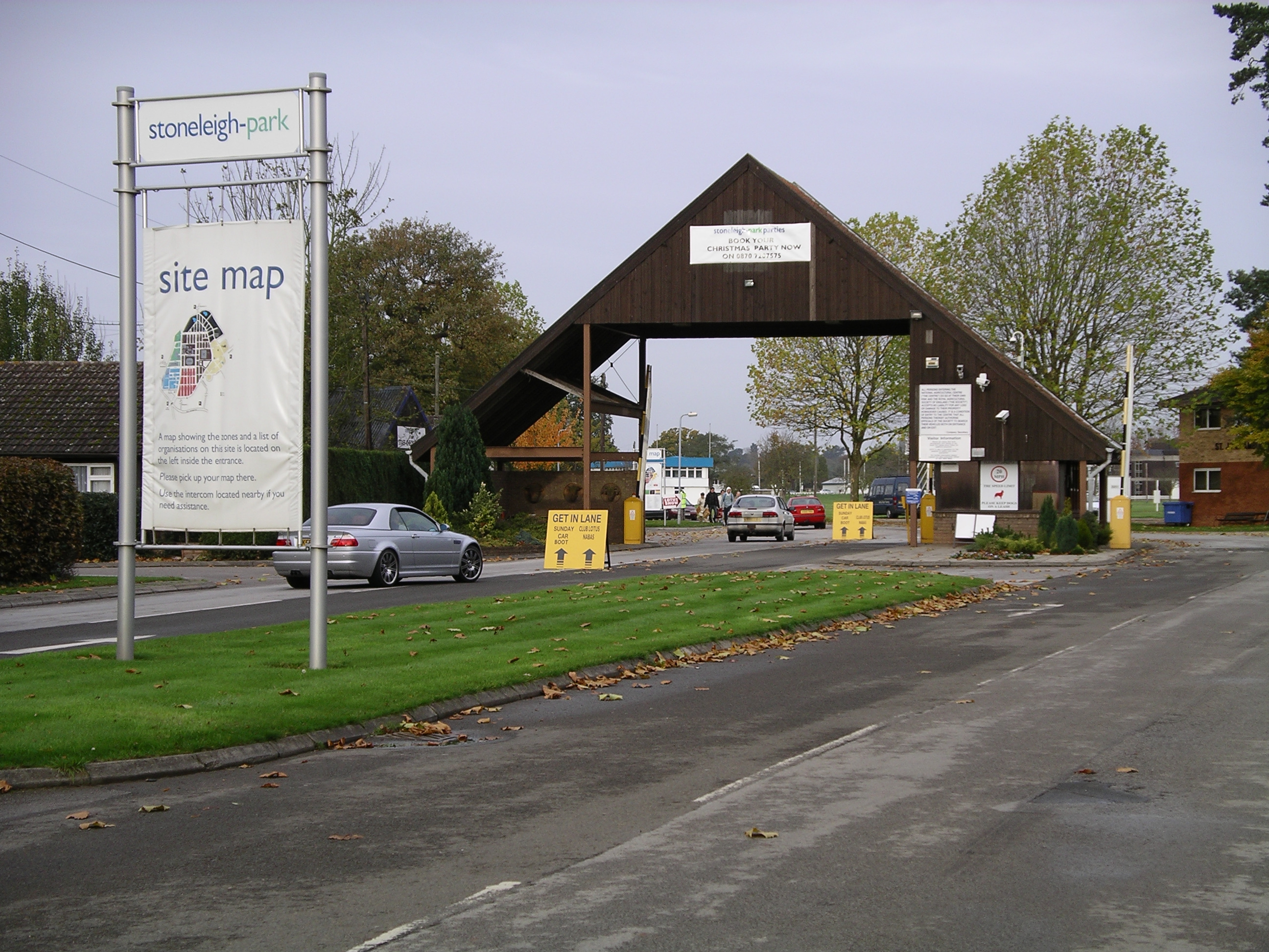
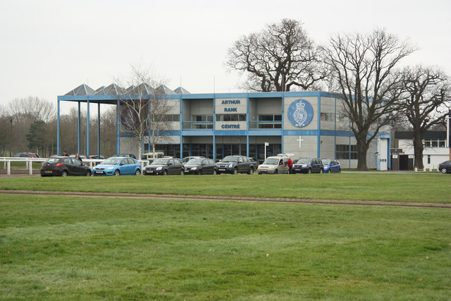
Stoneleigh Park
Stoneleigh Park, known between 1963 and 2013 as the National Agricultural Centre, is a business park located south-west of the village of Stoneleigh, Warwickshire...
Stoneleigh, Warwickshire
Stoneleigh is a small village in Warwickshire, England, on the River Sowe, situated 4.5 miles (7.25 km) south of Coventry and 5.5 miles (9 km) north of...

Rare Breeds Survival Trust
The Rare Breeds Survival Trust is a conservation charity whose purpose is to secure the continued existence and viability of the native farm animal genetic...
Nearby Amenities
Located within 500m of 52.348326,-1.5263527Have you been to Sowe Mouth Plantation?
Leave your review of Sowe Mouth Plantation below (or comments, questions and feedback).