Coalpits Wood

Wood, Forest in Yorkshire Harrogate

England

Coalpits Wood

Footbridge over the river Nidd Bilton Banks Footbridge.
Footbridge over the river Nidd Credit: Dave Berkeley

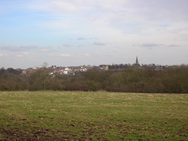
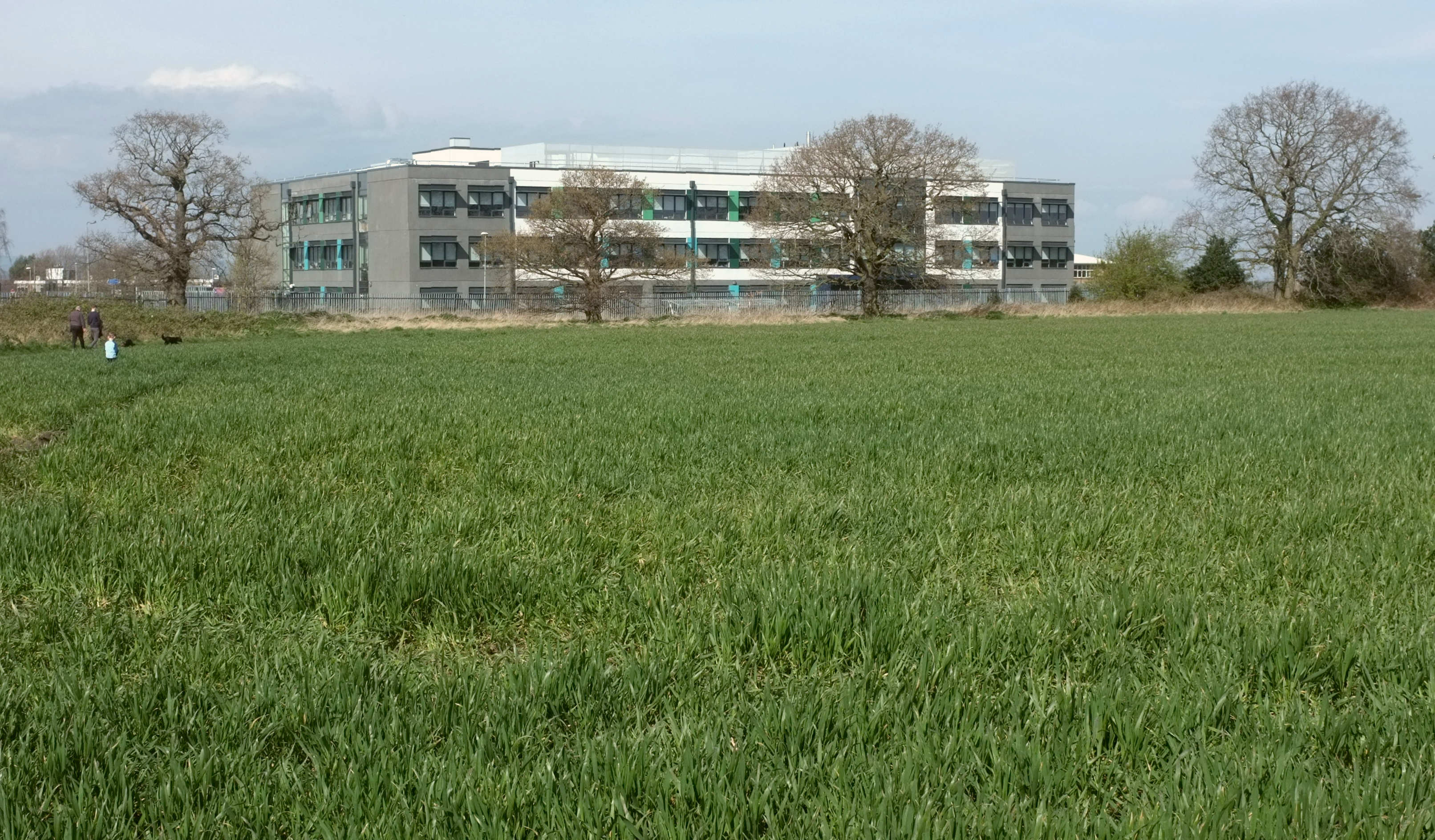
Coalpits Wood is a picturesque woodland located in Yorkshire, England. Covering an area of approximately 50 acres, it is a popular destination for nature enthusiasts and outdoor lovers. The wood is situated in a rural setting, surrounded by rolling hills and fields, offering visitors a tranquil and serene environment.

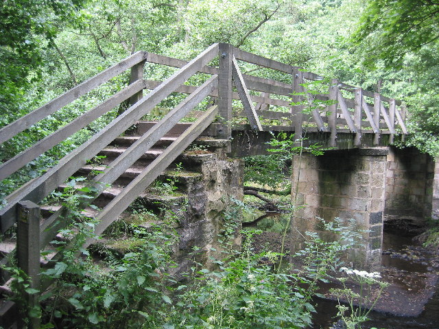
As its name suggests, Coalpits Wood has a historical association with the coal mining industry that once thrived in the region. Evidence of this can still be seen today, with remnants of old mining infrastructure scattered throughout the woodland. These remnants serve as a reminder of the area's industrial past and add to the charm and character of the wood.

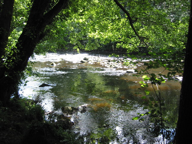
The woodland itself is predominantly composed of native tree species, including oak, birch, and beech. The dense canopy provides shelter and habitat for a variety of wildlife, making it a haven for birdwatchers and nature photographers. Bluebells carpet the forest floor in spring, creating a stunning display of vibrant colors.

Coalpits Wood offers a network of well-maintained trails and footpaths, allowing visitors to explore the area at their own pace. Walking through the wood, one can discover hidden glades, babbling brooks, and secluded picnic spots. The peaceful atmosphere and breathtaking scenery make it an ideal place for a leisurely stroll or a family day out.

Managed by a local conservation organization, Coalpits Wood is carefully preserved and protected to maintain its natural beauty and ecological significance. Educational programs and guided walks are also offered, providing visitors with the opportunity to learn more about the woodland's history, flora, and fauna.

Overall, Coalpits Wood is a captivating destination that offers a perfect blend of natural beauty, cultural heritage, and recreational opportunities for all to enjoy.

If you have any feedback on the listing, please let us know in the comments section below.

Coalpits Wood Images

Images are sourced within 2km of 54.019356/-1.507907 or Grid Reference SE3258. Thanks to Geograph Open Source API. All images are credited.

Footbridge over the river Nidd Bilton Banks Footbridge.
Footbridge over the river Nidd
Bilton Banks Footbridge.
River Nidd near Knaresborough The Nidd flows through a steep tree lined gorge.
River Nidd near Knaresborough
The Nidd flows through a steep tree lined gorge.
Field next to cycleway Taken from the Bilton cycle path along the old railway line.
Field next to cycleway
Taken from the Bilton cycle path along the old railway line.
Cycle Routes The fork in the former railway lines now provides cycle routes between Harrogate, Starbeck and Knaresborough. Take the left track for Starbeck, the right for Harrogate, or behind the camera to follow the quiet roads to Knaresborough.
Cycle Routes
The fork in the former railway lines now provides cycle routes between Harrogate, Starbeck and Knaresborough. Take the left track for Starbeck, the right for Harrogate, or behind the camera to follow the quiet roads to Knaresborough.
Starbeck Cycle Route Starbeck is behind the camera. This cycle route is on the course of the old Bilton railway triangle.
Starbeck Cycle Route
Starbeck is behind the camera. This cycle route is on the course of the old Bilton railway triangle.
Starbeck The Avenue, Starbeck. This road provides the last bit of access into Starbeck from the Harrogate to Starbeck cycle route using the old railway (behind).
Starbeck
The Avenue, Starbeck. This road provides the last bit of access into Starbeck from the Harrogate to Starbeck cycle route using the old railway (behind).
Hen Farm Partway along the Beryl Burton cycle route from Harrogate to Knaresborough.
Hen Farm
Partway along the Beryl Burton cycle route from Harrogate to Knaresborough.
Field next to Bilton village farm Taken from along the Beryl Burton Cycleway running from Harrogate into Knaresborough. Beryl Burton was a famous local cyclist.
Field next to Bilton village farm
Taken from along the Beryl Burton Cycleway running from Harrogate into Knaresborough. Beryl Burton was a famous local cyclist.
Bilton Village Farm A small caravan / campsite on the outskirts of Harrogate. It is partway along the Harrogate to Knaresborough cycle track known as the Beryl Burton way.
Bilton Village Farm
A small caravan / campsite on the outskirts of Harrogate. It is partway along the Harrogate to Knaresborough cycle track known as the Beryl Burton way.
Beryl Burton Cycleway Looking towards Knaresborough on the Beryl Burton cycleway.
Beryl Burton Cycleway
Looking towards Knaresborough on the Beryl Burton cycleway.
View towards Knaresborough From the Beryl Burton Cycleway, before the descent down to the Nidd. Nice run down, hard work to come back up!
View towards Knaresborough
From the Beryl Burton Cycleway, before the descent down to the Nidd. Nice run down, hard work to come back up!
Bilton Lane From the junction of Grosvenor Road.
Bilton Lane
From the junction of Grosvenor Road.
From the Bilton to Nidd bridlepath The treeline hides the Nidd Gorge, in this view along a bridleway from Bilton.
From the Bilton to Nidd bridlepath
The treeline hides the Nidd Gorge, in this view along a bridleway from Bilton.
Weir on the Nidd This section of the Nidd is to the north of Harrogate in the Nidd Gorge.
Weir on the Nidd
This section of the Nidd is to the north of Harrogate in the Nidd Gorge.
The Nidd The River Nidd flowing to the north of Harrogate.
The Nidd
The River Nidd flowing to the north of Harrogate.
Scotton The village of Scotton. This pub is called the Guy Fawkes Arms.
Scotton
The village of Scotton. This pub is called the Guy Fawkes Arms.
From footpath near Lingerfield Looking across a field, with Lingerfield in the background.
From footpath near Lingerfield
Looking across a field, with Lingerfield in the background.
Towards Scotton Taken from the Brearton road before it joins the Nidd road.
Towards Scotton
Taken from the Brearton road before it joins the Nidd road.
Show me another place!

Coalpits Wood is located at Grid Ref: SE3258 (Lat: 54.019356, Lng: -1.507907)

Division: West Riding

Administrative County: North Yorkshire

District: Harrogate

Police Authority: North Yorkshire

What 3 Words

///bucked.playroom.pasta. Near Knaresborough, North Yorkshire

Related Wikis

Scotton, Harrogate

Scotton is a small village and civil parish in the Harrogate district of North Yorkshire, England with a population of 524 in the 2001 census, increasing...

Bilton Hall (North Yorkshire)

Bilton Hall is a Grade II listed large country house near Harrogate, North Yorkshire. It was historically the home of the prominent Stockdale family, of...

Nidd Gorge

Nidd Gorge makes up a section of the River Nidd in North Yorkshire, England, in which the river enters a deep ravine with sheer tree-covered valley sides...

Oak Beck

Oak Beck is a watercourse that flows eastwards across the northern part of Harrogate in North Yorkshire, England. The beck flows through a broad V-shaped...

Harrogate Railway Athletic F.C.

Harrogate Railway Athletic Football Club is a football club based in Harrogate, North Yorkshire, England. They are currently members of the Northern Counties...

Harrogate High School

Harrogate High School is a comprehensive secondary school in Harrogate, North Yorkshire, England. It has about 720 pupils on roll and approximately 85...

Bilton, Harrogate

Bilton is a suburb of Harrogate, North Yorkshire, England, situated to the north-east of the town centre. == History == Bilton was first recorded (as Billeton...

Daleside Brewery

Daleside is an independent brewery founded in 1988 in Harrogate, North Yorkshire, England. == History == Daleside Brewery was established in the mid 1980s...

Nearby Amenities

Located within 500m of 54.019356,-1.507907
Information: guidepost
Tourism: information
Lat/Long: 54.020224/-1.5015008
Power: tower
Lat/Long: 54.0180032/-1.5050156
Power: tower
Lat/Long: 54.017575/-1.5108078
Information: guidepost
Tourism: information
Lat/Long: 54.0198608/-1.5004223
Bilton Banks
Place: locality
Lat/Long: 54.0170145/-1.503324
Rawson Banks
Place: locality
Lat/Long: 54.0229488/-1.5096077
Bilton Park
Place: locality
Lat/Long: 54.0170618/-1.5124321
Barrier: stile
Material: wood
Source: survey;gps
Stile: squeezer
Lat/Long: 54.0225355/-1.5108985
Barrier: stile
Material: wood
Source: survey;gps
Stile: stepover
Lat/Long: 54.0199349/-1.5059838
Coalpits Wood
Place: locality
Lat/Long: 54.0198428/-1.5083438
Bench
Backrest: yes
Description: Two benches with plaques for Tony & Rhonda Kinsier
Material: wood
Seats: 4
Lat/Long: 54.0197683/-1.5004183
Information: guidepost
Tourism: information
Lat/Long: 54.0199157/-1.5017144
Information: guidepost
Tourism: information
Lat/Long: 54.0201114/-1.5018359
Linda's Plaque
Historic: memorial
Inscription: Memory of Linda Nora Reynolds
Material: metal
Memorial: plaque
Lat/Long: 54.0202975/-1.5020232
Bench
Backrest: yes
Material: wood
Seats: 4
Lat/Long: 54.0202395/-1.501628
Information: guidepost
Operator: Council
Tourism: information
Lat/Long: 54.0207904/-1.5018433
Advertising: board
Lit: no
Operator: Woodland Trust
Lat/Long: 54.0203864/-1.5020848
Information: guidepost
Operator: Woodland Trust
Tourism: information
Lat/Long: 54.0202282/-1.5008917
Nidd Gorge
Place: locality
Lat/Long: 54.0190859/-1.5054333
The data included in this document is from www.openstreetmap.org. The data is made available under ODbL.

Have you been to Coalpits Wood?

Leave your review of Coalpits Wood below (or comments, questions and feedback).