Beech Wood

Wood, Forest in Derbyshire Amber Valley

England

Beech Wood

View to Tansley from Daisy Bank
View to Tansley from Daisy Bank Credit: Neil Theasby

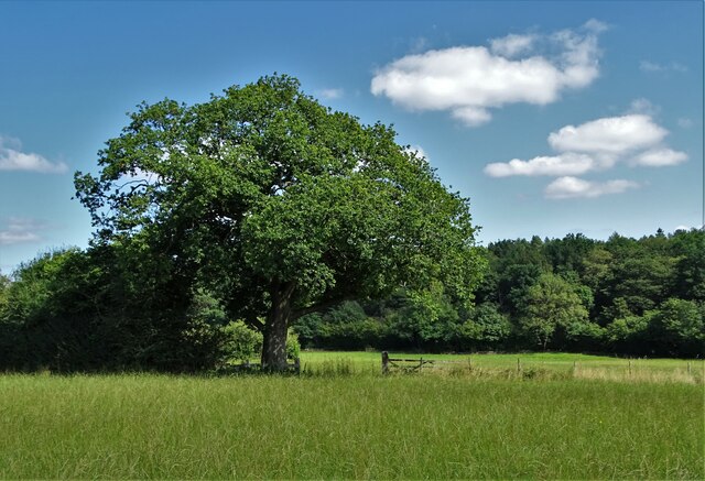
Beech Wood, located in Derbyshire, is a picturesque forest known for its abundant beech trees. Spanning over a vast area, this woodland is a popular destination for nature enthusiasts, hikers, and photographers. The forest is situated in the heart of the Peak District National Park, adding to its appeal and natural beauty.

The beech trees in Beech Wood are predominantly tall and majestic, with their smooth silver-grey bark and vibrant green leaves. These trees provide a dense canopy, creating a cool and shaded environment even on hot summer days. The forest floor is covered with a carpet of fallen leaves, creating a peaceful and serene atmosphere.

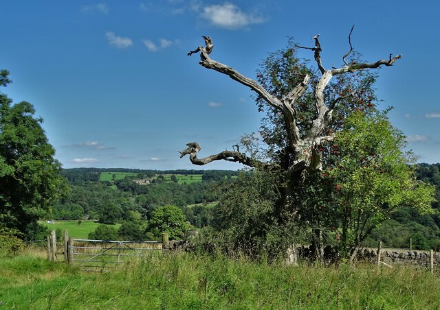
The woodland is home to a diverse range of flora and fauna. Besides the beech trees, visitors can also spot other tree species such as oak, ash, and birch. Bluebells, wild garlic, and wood sorrel are some of the wildflowers that bloom in the undergrowth during spring, adding a splash of color to the forest floor.

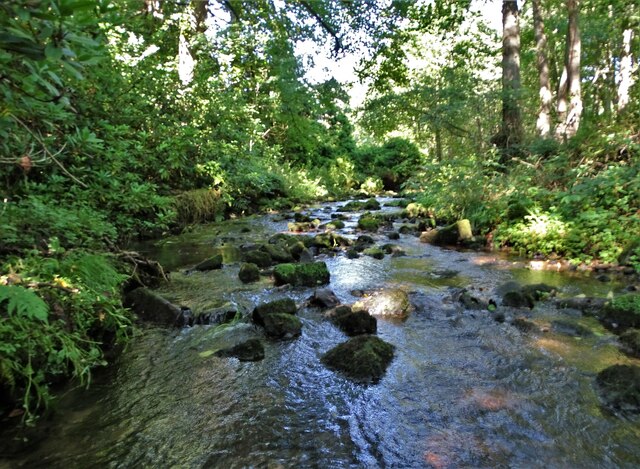
Beech Wood offers a network of well-maintained trails, allowing visitors to explore the forest and enjoy its natural wonders. These paths lead to hidden glades, tranquil streams, and small ponds, creating a haven for wildlife. Birdwatchers can observe various species such as woodpeckers, nuthatches, and tawny owls, while lucky visitors may even catch a glimpse of deer or foxes.

Overall, Beech Wood, Derbyshire is a captivating destination that showcases the beauty of nature. Its towering beech trees, diverse flora and fauna, and peaceful atmosphere make it a must-visit location for anyone seeking solace in the great outdoors.

If you have any feedback on the listing, please let us know in the comments section below.
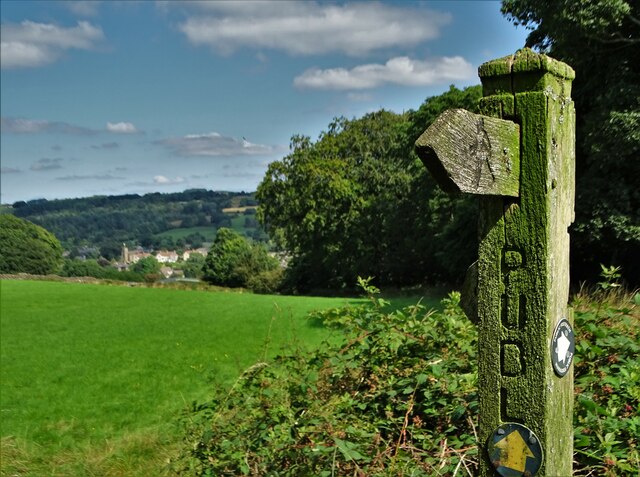
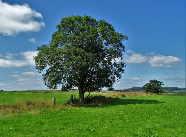
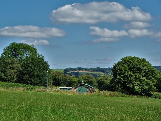
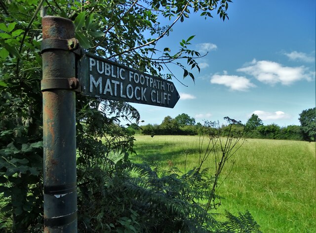
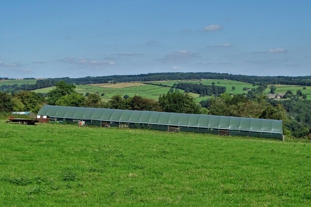
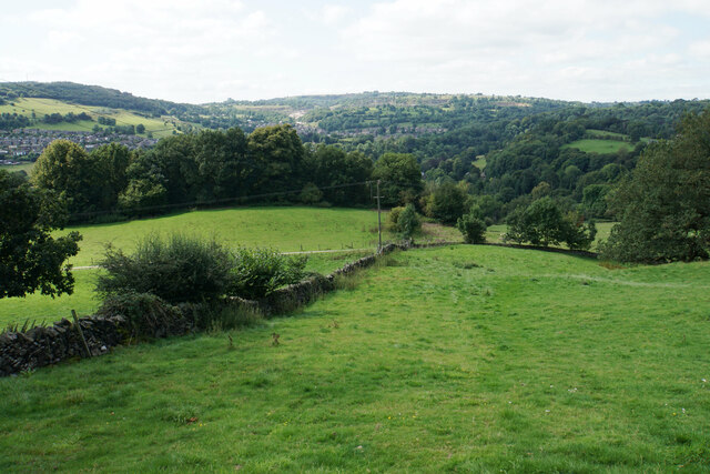
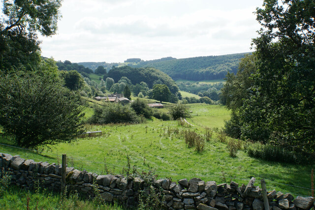
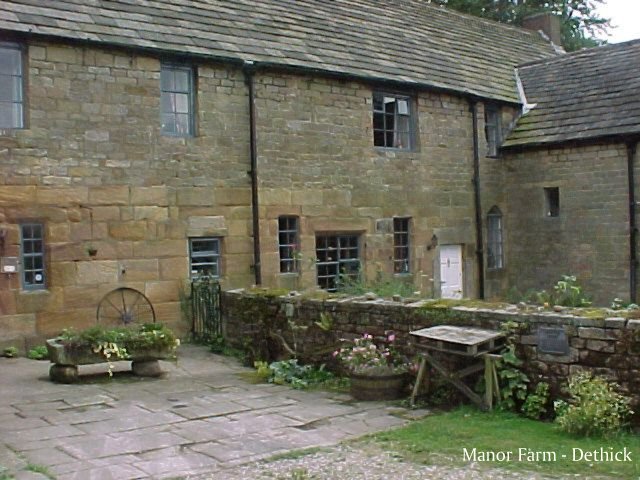
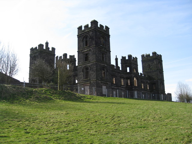
Beech Wood Images

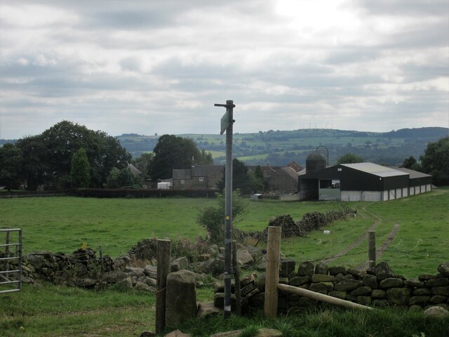
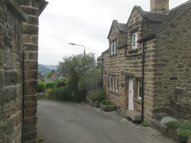
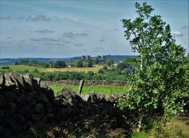
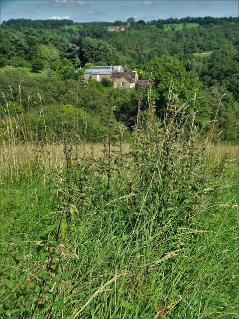
Images are sourced within 2km of 53.112829/-1.5185967 or Grid Reference SK3257. Thanks to Geograph Open Source API. All images are credited.

View to Tansley from Daisy Bank
Sycamore tree between Tansley and Riber
View to a water pumping station North of Carr Lane between Riber and Tansley
View to a water pumping station
North of Carr Lane between Riber and Tansley
Footpath to Matlock Cliff From Littlemoor Lane
Footpath to Matlock Cliff
From Littlemoor Lane
Oak tree near Littlemoor Farm
Mill House, Lea Mill With the old mill pond in the foreground now an attractive garden feature.
Mill House, Lea Mill
With the old mill pond in the foreground now an attractive garden feature.
Lea Brook Flowing through Upper Doe Carr Wood
Lea Brook
Flowing through Upper Doe Carr Wood
North of Coumbs Wood looking towards Dethick
The farmhouse - Hearthstone Farm
Upper Holloway Farm Walking along the footpath that runs down towards the farm.
Upper Holloway Farm
Walking along the footpath that runs down towards the farm.
Cottages in Holloway Narrow street in the village.
Cottages in Holloway
Narrow street in the village.
View to Riber Castle from Hearthstone Lane
View to Low Leas House ...and beyond that to Dethick with its church tower peeping above the trees. Dethick was the home of Anthony Babington after whom The Babington Plot of 1586 was named. It was a plan born out of bitter religious competition that would have involved the assassination of Queen Elizabeth I.
View to Low Leas House
...and beyond that to Dethick with its church tower peeping above the trees. Dethick was the home of Anthony Babington after whom The Babington Plot of 1586 was named. It was a plan born out of bitter religious competition that would have involved the assassination of Queen Elizabeth I.
Matlock town sign on Littlemoor Lane
Modern barn on a hillside by High Leas Farm
Raised path along the street at Lea. A quiet little village.
Raised path along the street at Lea.
A quiet little village.
Hillside above Cromford A footpath from Lea descends into the Derwent valley here. Middleton Top is on the opposite hill.
Hillside above Cromford
A footpath from Lea descends into the Derwent valley here. Middleton Top is on the opposite hill.
Meadow Wood Farm The eastern side of the Derwent valley.
Meadow Wood Farm
The eastern side of the Derwent valley.
Show me another place!

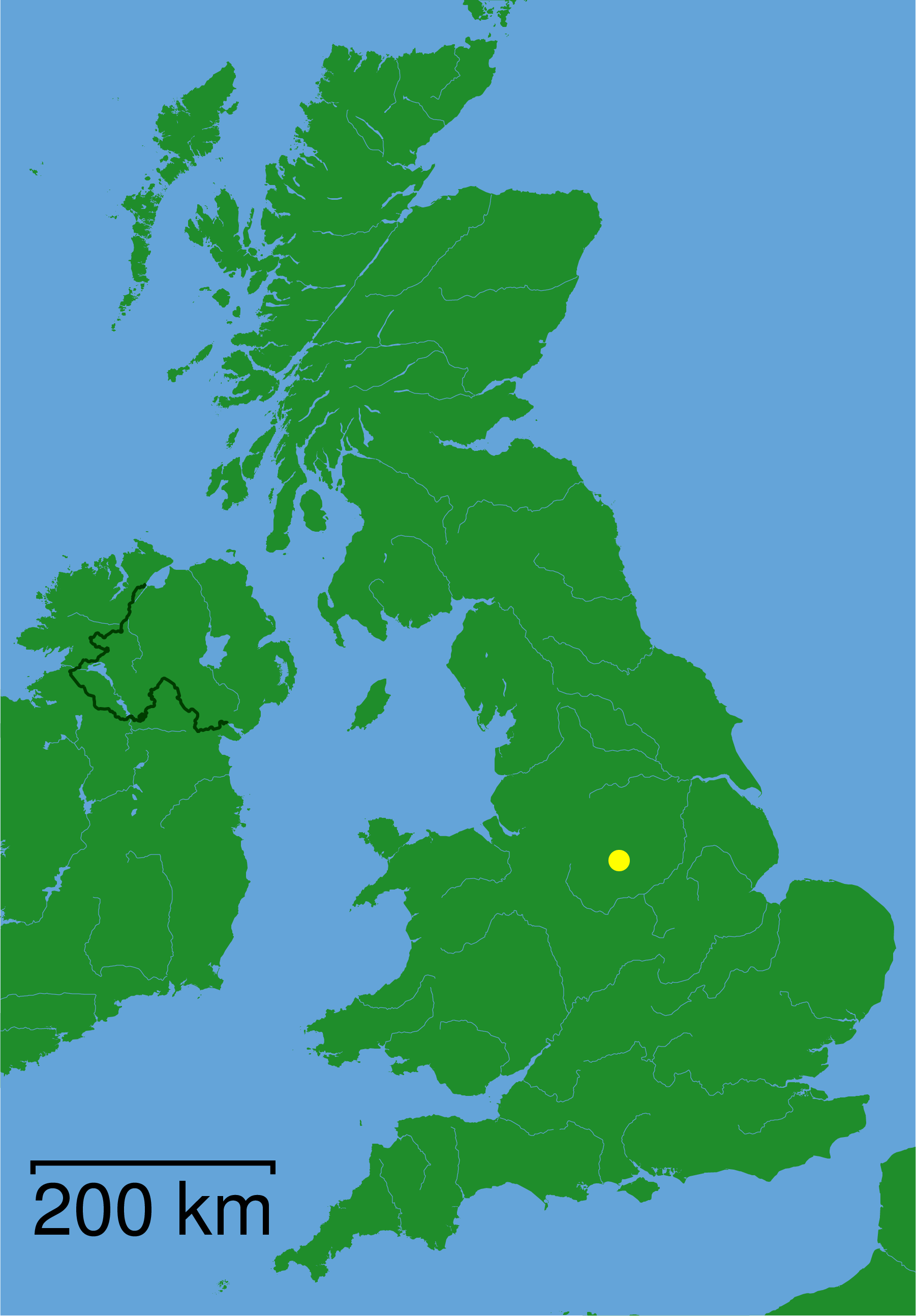
Beech Wood is located at Grid Ref: SK3257 (Lat: 53.112829, Lng: -1.5185967)

Administrative County: Derbyshire

District: Amber Valley

Police Authority: Derbyshire

What 3 Words

///twitches.offices.drips. Near Tansley, Derbyshire

Related Wikis

Related Videos

Ashbourne Heights Holiday Park - Holidays & Short Breaks 2024

The perfect location for quiet escapes in the Peak District. For more information visit www.parkholidays.com.

🏴󠁧󠁢󠁥󠁮󠁧󠁿 GiddyEdge in Matlock Hiking

GiddyEdge Hiking in Matlock Derbyshire. We stay at Packhorse Farm which is nicely situated for a walk to Lumsdale Falls, ...

walking one of the most dangerous paths in britain and exploring a nearby Chasm #dangerousexplore

Eh Up! This week, we go walking one of the most dangerous paths in britain and exploring a nearby Chasm! Its easy to see why, ...

MATLOCK BATH Derbyshire | Full walking tour of MATLOCK BATH near Matlock, Derbyshire Peak District

Matlock Bath Derbyshire | Walking tour of Matlock Bath near the town of Matlock Derbyshire in the beautiful Peak District Also ...

Nearby Amenities

Located within 500m of 53.112829,-1.5185967
Jug and Glass
Addr City: Matlock
Addr Postcode: DE4 5GJ
Addr Street: Lea Main Road
Car Park: yes
Disused Amenity: pub
Food: yes
Note: food til 8
Old Fhrs Id: 780
Source: local_knowledge;view from road
Was Real Ale: 7 or 8 beers
Website: http://www.jugandglasslea.com/
Wikidata: Q26619922
Lat/Long: 53.1144243/-1.5137659
Ele: 133.0000000
Lat/Long: 53.1142583/-1.523378
Ele: 130.0000000
Lat/Long: 53.1143195/-1.5227139
Barrier: stile
Ele: 121.0000000
Stile: squeezer
Lat/Long: 53.1146222/-1.5211236
Ele: 118.0000000
Lat/Long: 53.1144621/-1.5213267
Barrier: stile
Ele: 133.0000000
Stile: squeezer
Lat/Long: 53.114183/-1.5235794
Barrier: stile
Dog Gate: yes
Ele: 131.0000000
Steps: 2
Stile: stepover
Lat/Long: 53.1141322/-1.5243496
Ford: stepping_stones
Lat/Long: 53.1146479/-1.5206288
Barrier: stile
Ele: 131.0000000
Steps: 0
Stile: stepover
Lat/Long: 53.1145906/-1.51897
Barrier: stile
Steps: 0
Stile: stepover
Lat/Long: 53.1146412/-1.5205913
Barrier: stile
Ele: 131.0000000
Stile: squeezer
Lat/Long: 53.1145078/-1.5188719
Barrier: stile
Ele: 146.0000000
Stile: squeezer
Lat/Long: 53.1143525/-1.517954
Parking
Description: Patch of dirt by side of road
Lat/Long: 53.1102944/-1.5178124
Ele: 174.0000000
Lat/Long: 53.1118795/-1.5180096
Ele: 180.0000000
Lat/Long: 53.1106889/-1.5179828
Bench
Ele: 140.0000000
Lat/Long: 53.1150586/-1.5187145
Bench
Ele: 168.0000000
Lat/Long: 53.1141094/-1.5129646
Ele: 170.0000000
Lat/Long: 53.1142552/-1.5115937
Ele: 164.0000000
Lat/Long: 53.1143438/-1.5115431
Barrier: kissing_gate
Ele: 174.0000000
Material: metal
Lat/Long: 53.1140195/-1.5116668
Dethick, Lea and Holloway
Board Type: history
Ele: 171.0000000
Information: board
Tourism: information
Lat/Long: 53.1138438/-1.5124389
Bench
Lat/Long: 53.1137262/-1.5127942
Ele: 179
Lat/Long: 53.1116494/-1.5144988
Ele: 189.0000000
Lat/Long: 53.1118565/-1.5134873
Ele: 181.0000000
Lat/Long: 53.1126279/-1.5136164
Ele: 173.0000000
Lat/Long: 53.1136457/-1.5128439
Barrier: kissing_gate
Ele: 170.0000000
Lat/Long: 53.1139967/-1.5122434
Ele: 190.0000000
Lat/Long: 53.1101018/-1.5173993
Ele: 178
Lat/Long: 53.1109546/-1.5149709
Barrier: entrance
Lat/Long: 53.1107193/-1.518088
Parking
Access: unknown
Description: Coach Park for Lea Gardens
Ele: 170.0000000
Lat/Long: 53.111915/-1.517921
Generator Method: photovoltaic
Generator Output Electricity: yes
Generator Source: solar
Generator Type: solar_photovoltaic_panel
Location: roof
Power: generator
Lat/Long: 53.113149/-1.5124121
Generator Method: photovoltaic
Generator Output Electricity: yes
Generator Source: solar
Generator Type: solar_photovoltaic_panel
Location: roof
Power: generator
Lat/Long: 53.1144935/-1.5127682
Generator Method: photovoltaic
Generator Output Electricity: yes
Generator Source: solar
Generator Type: solar_photovoltaic_panel
Location: roof
Power: generator
Lat/Long: 53.1126255/-1.5127439
Generator Method: photovoltaic
Generator Output Electricity: yes
Generator Source: solar
Generator Type: solar_photovoltaic_panel
Location: roof
Power: generator
Lat/Long: 53.1131163/-1.5124778
Historic Operator: Derwent Valley Water Board
Operator: Severn Trent Water
Pipeline: valve
Substance: water
Lat/Long: 53.1129999/-1.5207753
Historic Operator: Derwent Valley Water Board
Operator: Severn Trent Water
Pipeline: valve
Substance: water
Lat/Long: 53.1129955/-1.520815
Barrier: kissing_gate
Source: survey;gps
Lat/Long: 53.113728/-1.5123515
Bench
Source: survey;gps
Lat/Long: 53.1136835/-1.5126801
Leisure: picnic_table
Lat/Long: 53.1135483/-1.5128571
Leisure: playground
Lat/Long: 53.113764/-1.5129067
The data included in this document is from www.openstreetmap.org. The data is made available under ODbL.

Have you been to Beech Wood?

Leave your review of Beech Wood below (or comments, questions and feedback).