Church's Copse
Wood, Forest in Berkshire Vale of White Horse
England
Church's Copse

Church's Copse is a picturesque woodland area located in the county of Berkshire, England. Situated near the village of Church's Green, it covers an expansive area of approximately 100 acres. The copse is characterized by its dense and diverse collection of trees, making it a popular destination for nature enthusiasts and hikers alike.
The woodland consists primarily of deciduous trees, including oak, beech, and birch, which provide a stunning display of colors during the autumn months. These trees create a dense canopy that filters sunlight, resulting in a cool and tranquil atmosphere within the copse. The forest floor is adorned with a variety of wildflowers and ferns, further enhancing its natural beauty.
Church's Copse is a haven for wildlife, attracting a wide range of species. Birdwatchers can spot woodpeckers, owls, and various songbirds among the treetops, while the forest floor is home to small mammals such as foxes, badgers, and rabbits. Additionally, the copse is known to house a diverse insect population, including butterflies and beetles.
The woodland is crisscrossed by a network of well-maintained footpaths, allowing visitors to explore its scenic beauty and enjoy peaceful walks. There are also several picnic areas dotted throughout the copse, providing an ideal spot for families and friends to relax and soak in the tranquil surroundings.
Overall, Church's Copse in Berkshire is a captivating woodland that offers a rich natural experience. Its diverse tree species, abundant wildlife, and well-maintained footpaths make it a cherished destination for nature lovers and an oasis of tranquility for all who visit.
If you have any feedback on the listing, please let us know in the comments section below.
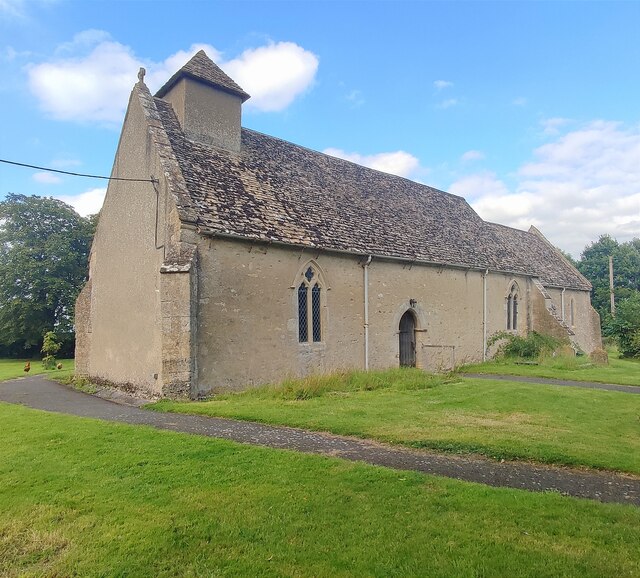
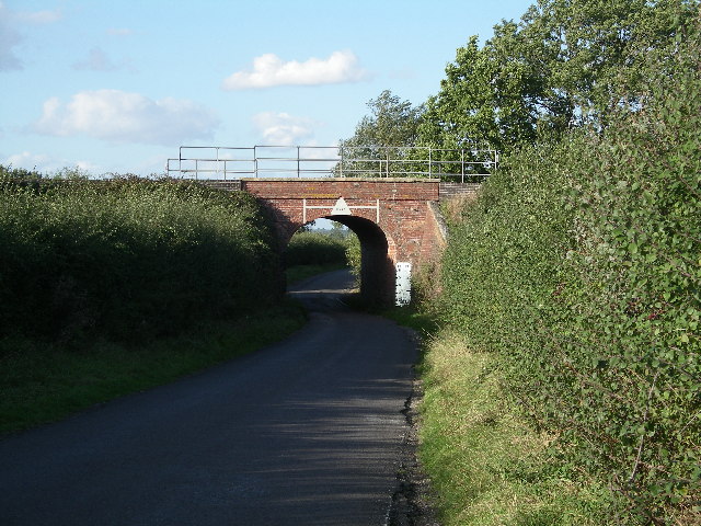
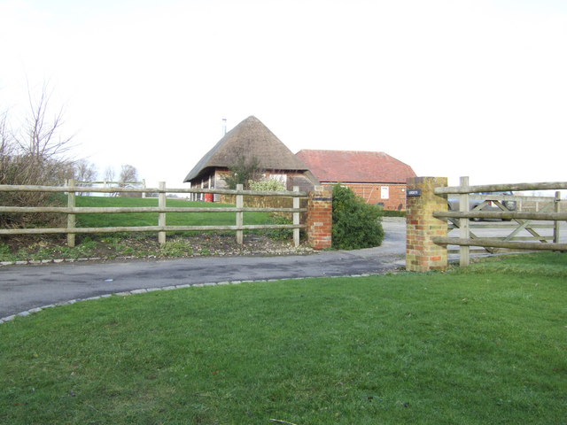
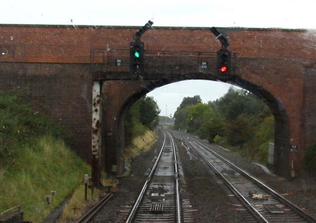
Church's Copse Images
Images are sourced within 2km of 51.604439/-1.5361932 or Grid Reference SU3289. Thanks to Geograph Open Source API. All images are credited.


Church's Copse is located at Grid Ref: SU3289 (Lat: 51.604439, Lng: -1.5361932)
Administrative County: Oxfordshire
District: Vale of White Horse
Police Authority: Thames Valley
What 3 Words
///speedily.plotting.outlines. Near Stanford in the Vale, Oxfordshire
Nearby Locations
Related Wikis

Baulking
Baulking or Balking is a village and civil parish about 3+1⁄2 miles (5.6 km) southeast of Faringdon in the Vale of White Horse district of Oxfordshire...

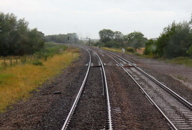
Uffington railway station
Uffington railway station (sometimes marked as Uffington Junction) is a former station on the Great Western Main Line. The station was located north-east...
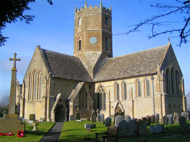
Uffington, Oxfordshire
Uffington is a village and civil parish in Oxfordshire, about 4 miles (6.4 km) south of Faringdon and 6 miles (10 km) west of Wantage. The 2011 Census...

Tom Brown's School Museum
Tom Brown's School Museum is a local museum in the village of Uffington (near Faringdon), Oxfordshire, England. It was opened in 1984.The museum covers...

Kingston Lisle
Kingston Lisle is a village and civil parish in the Vale of White Horse, England, about 4+1⁄2 miles (7 km) west of Wantage and 5 miles (8 km) south-southeast...
Kingston Lisle Park
Kingston Lisle Park is a Grade II* listed Georgian country house and estate in Kingston Lisle, near Wantage, in the Vale of White Horse district of Oxfordshire...
Westcot
Westcot is a hamlet in the civil parish of Sparsholt, about 4 miles (6.4 km) west of Wantage in the Vale of White Horse, England. == External links... ==
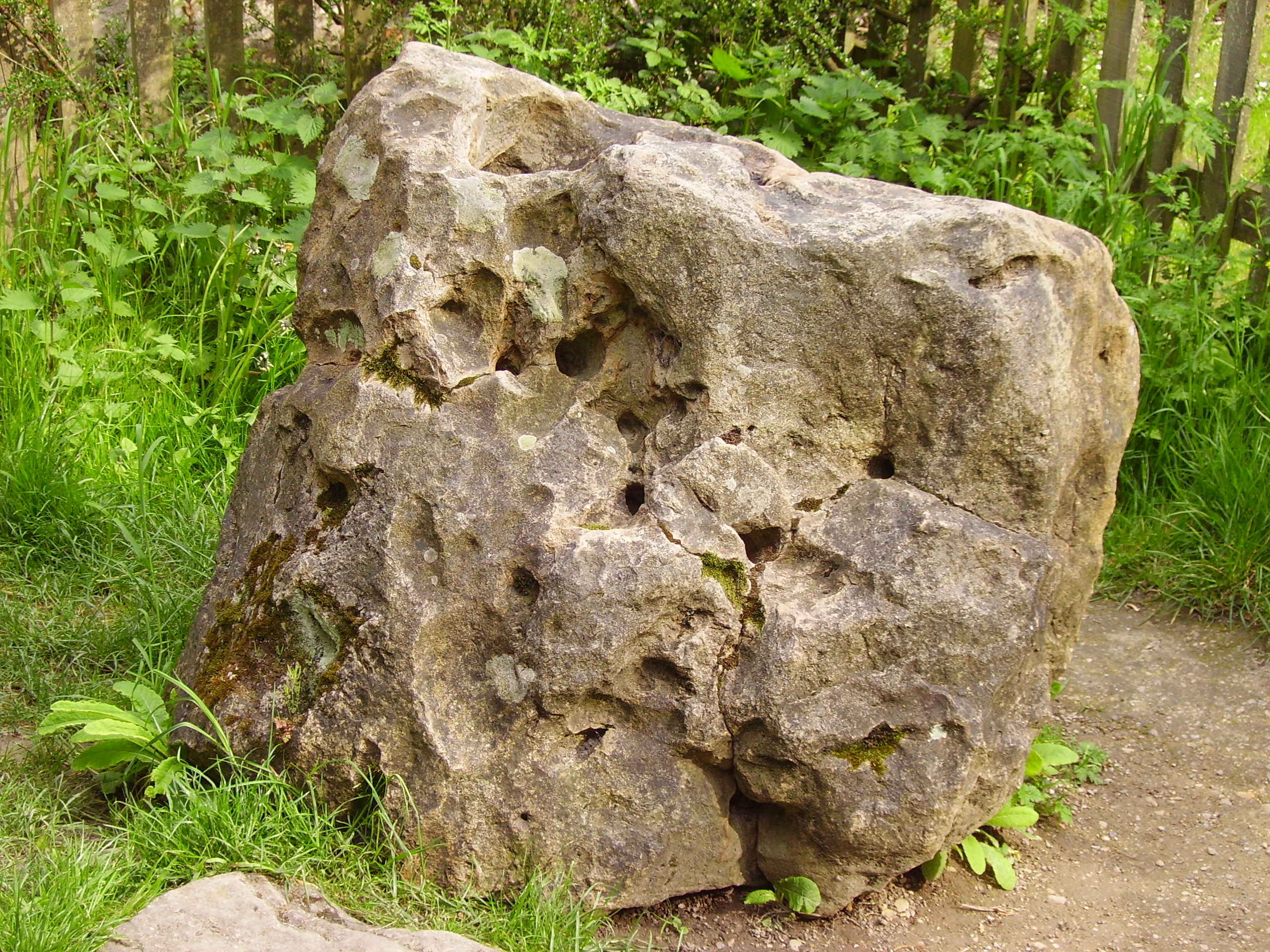
Blowing Stone
The Blowing Stone is a perforated sarsen at grid reference SU32412 87083 in Kingston Lisle, which is in the traditional county of Berkshire, but is currently...
Related Videos
Uffington In Oxfordshire
Uffington In Oxfordshire is a charming English village that was the home of Sir John Betjeman, Poet Laureate. His house was just ...
Walk Through England's Chalk-Built Uffington Village - English Countryside
Uffington is well worth a visit with many fine examples of cottages built of local chalk, many of them thatched. The village of ...

Uffington Gorse - An Appeal
Uffington Gorse - An Appeal The Wilts and Berks Canal trust need you! Uffington Gorse comprises 9 acres of accessible mature ...

Kingston lisle blowing stone 18th November 2018
Visiting the blowing stone on my mother's birthday, she taught me how to blow the stone many years ago when I was little, there ...
Nearby Amenities
Located within 500m of 51.604439,-1.5361932Have you been to Church's Copse?
Leave your review of Church's Copse below (or comments, questions and feedback).