Arrowfield Top
Settlement in Worcestershire Bromsgrove
England
Arrowfield Top
Arrowfield Top is a small village located in the county of Worcestershire, England. Situated approximately 5 miles southeast of Droitwich Spa, it is nestled amidst picturesque countryside, offering residents and visitors a tranquil and idyllic setting.
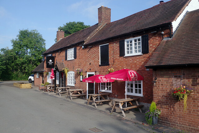
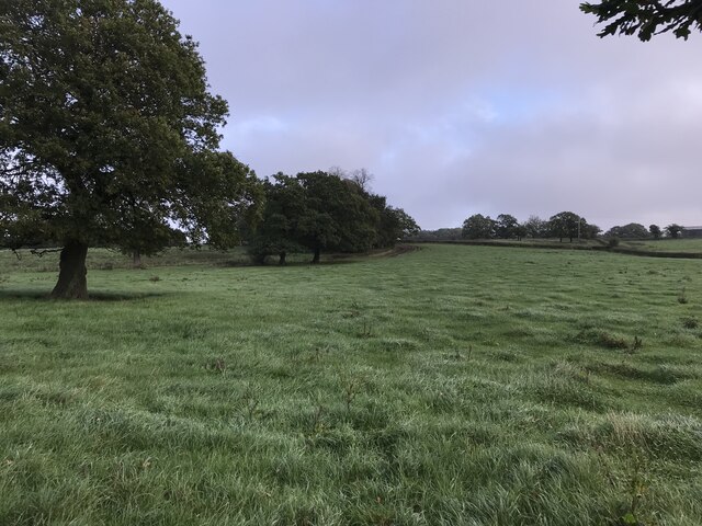
The village is primarily residential, with a population of around 200 people. It is characterized by its charming cottages and traditional English architecture, giving it a quaint and welcoming atmosphere. The surrounding landscape is predominantly rural, with vast fields and meadows stretching out in every direction.
Arrowfield Top benefits from its proximity to the nearby town of Droitwich Spa, which provides residents with easy access to various amenities and services. The town boasts a range of shops, supermarkets, restaurants, and recreational facilities, ensuring that all everyday needs are catered to.
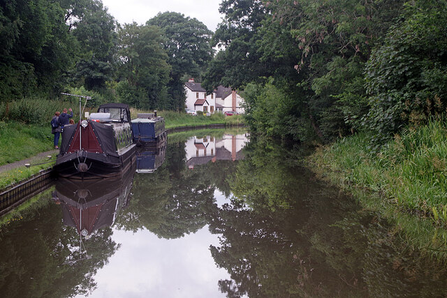
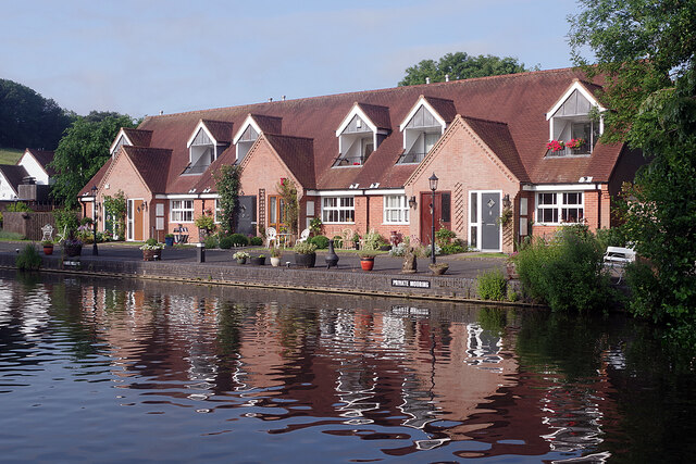
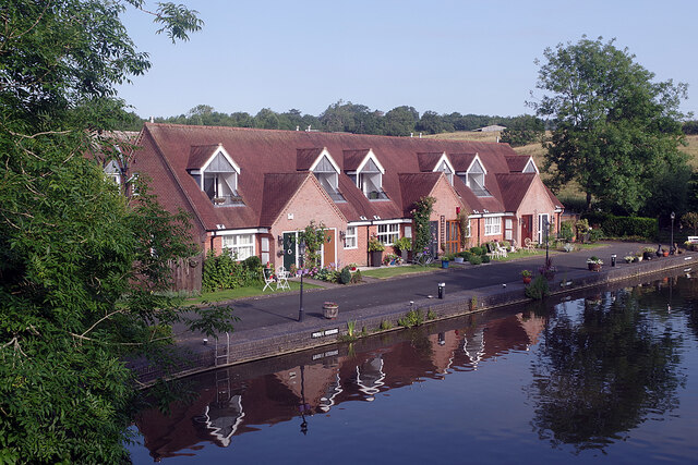
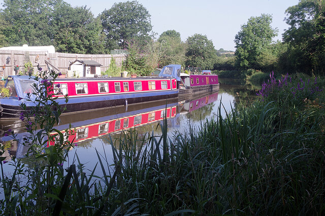
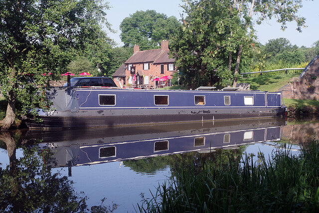
Nature enthusiasts will find plenty to explore in the area surrounding Arrowfield Top. The Worcestershire countryside offers numerous walking and cycling routes, allowing visitors to immerse themselves in the stunning natural beauty of the region. Additionally, the nearby Droitwich Canal and River Salwarpe provide opportunities for boating and fishing.
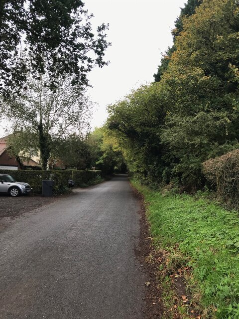
Transport links in Arrowfield Top are convenient, with regular bus services connecting the village to Droitwich Spa and other nearby towns. The M5 motorway is also easily accessible, providing excellent connectivity to larger cities such as Birmingham and Worcester.
Overall, Arrowfield Top is a charming and peaceful village, offering a high quality of life in a picturesque countryside setting.
If you have any feedback on the listing, please let us know in the comments section below.
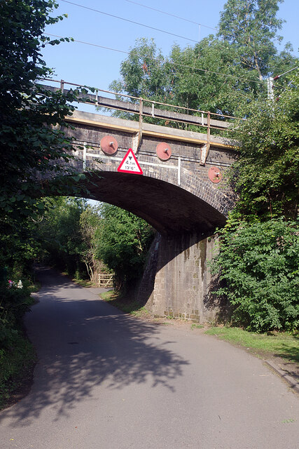
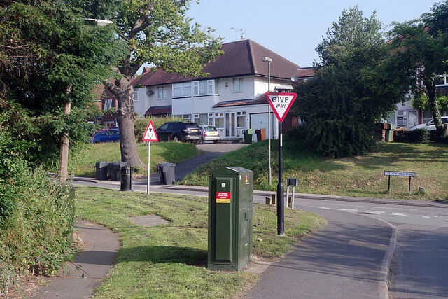
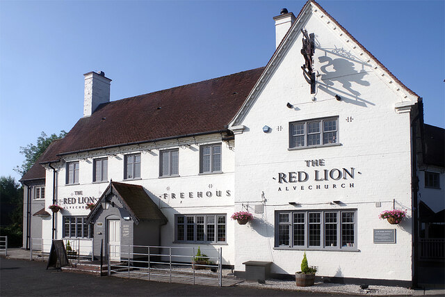
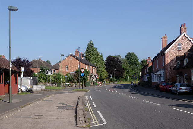
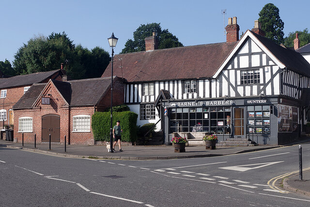
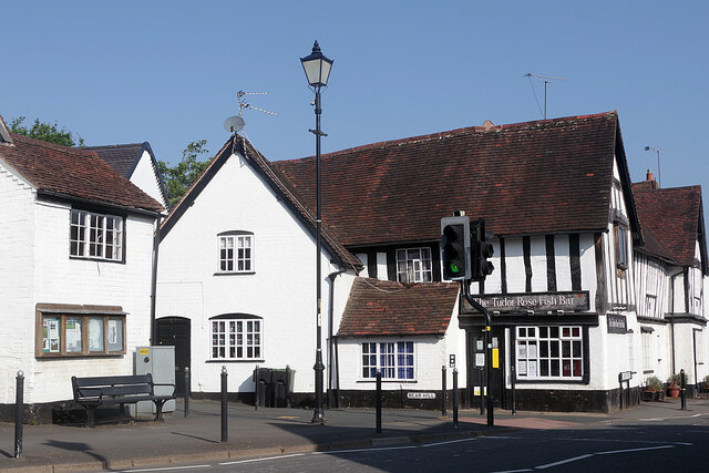
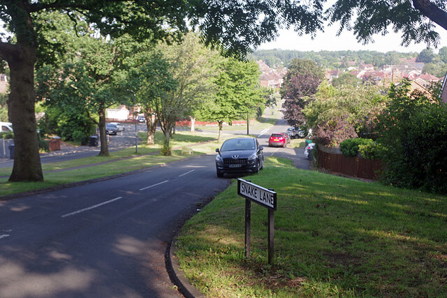
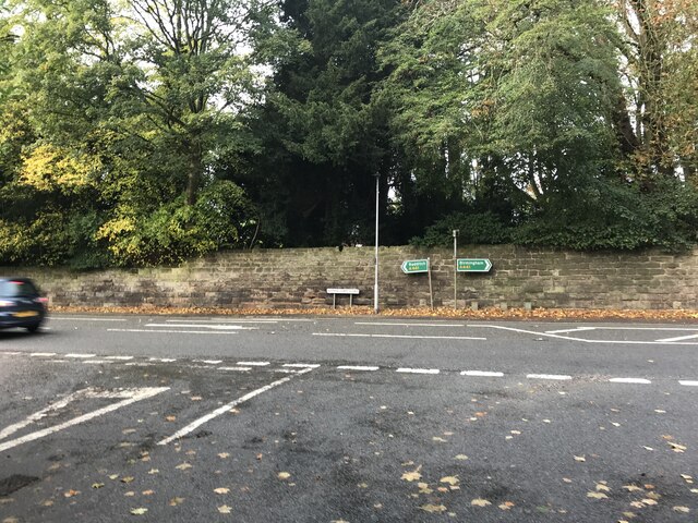
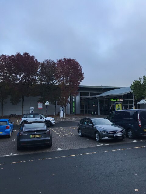
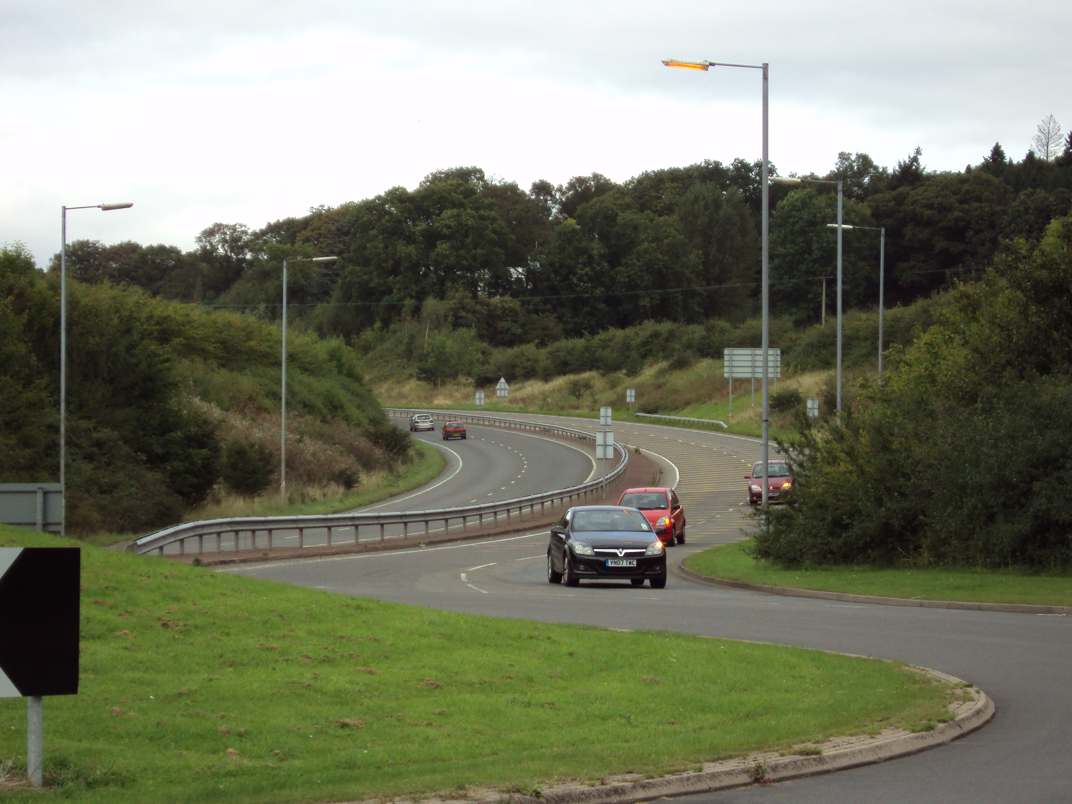
Arrowfield Top Images
Images are sourced within 2km of 52.365003/-1.957378 or Grid Reference SP0374. Thanks to Geograph Open Source API. All images are credited.
Arrowfield Top is located at Grid Ref: SP0374 (Lat: 52.365003, Lng: -1.957378)
Administrative County: Worcestershire
District: Bromsgrove
Police Authority: West Mercia
What 3 Words
///diner.poppy.glare. Near Alvechurch, Worcestershire
Nearby Locations
Related Wikis

Hopwood, Worcestershire
Hopwood is a small settlement in Worcestershire, located south of Birmingham, England on the Worcester and Birmingham Canal. The settlement is developed...

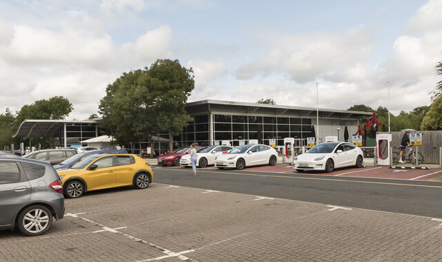
Hopwood Park services
Hopwood Park services is a motorway service station in Bromsgrove, Worcestershire, England situated off Junction 2 of the M42 motorway on the A441 road...

Alvechurch Church of England Middle School
Alvechurch Church of England Middle School (formerly 'Alvechurch Church of England Primary School') is a coeducational Church of England middle school...
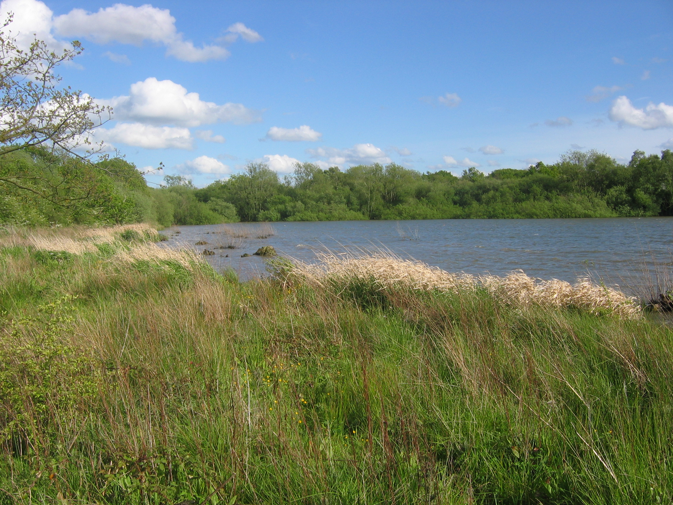
Bittell Reservoirs
The Bittell Reservoirs (grid reference SP017748) are located in Worcestershire between Barnt Green to the south and the Birmingham district of Longbridge...

Alvechurch
Alvechurch ( ALV-church) is a large village and civil parish in the Bromsgrove district in northeast Worcestershire, England, in the valley of the River...
A441 road
A441 is an A-road in England which runs from central Birmingham to Cookhill, Worcestershire. == Route == The A441 starts on the A4540 The Middleway in...
Cofton railway station
Cofton railway station was a station in Cofton Hackett, Worcestershire, England. The station was opened as the temporary northern terminus during the construction...

St Michael and All Angels' Church, Cofton Hackett
St Michael and All Angels' Church, Cofton Hackett is a Grade II* listed parish church in the Church of England in Worcestershire. == History == St Michael...
Nearby Amenities
Located within 500m of 52.365003,-1.957378Have you been to Arrowfield Top?
Leave your review of Arrowfield Top below (or comments, questions and feedback).