Fir Tree Grove
Wood, Forest in Warwickshire North Warwickshire
England
Fir Tree Grove
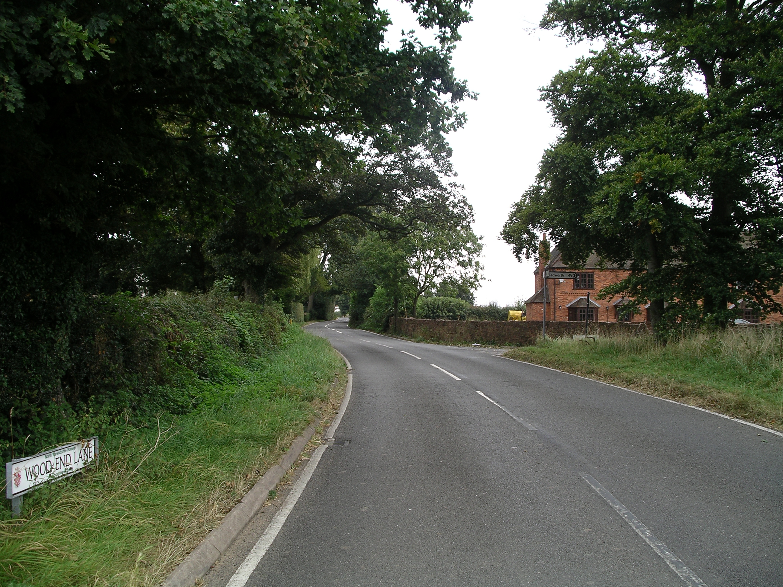
Fir Tree Grove is a picturesque woodland located in the county of Warwickshire, England. Situated in the heart of the region, this grove is well-known for its dense population of fir trees, hence its name. The forest covers an expansive area of approximately 50 acres, providing a serene and tranquil environment for nature enthusiasts and outdoor lovers to explore.
The woodland is characterized by its tall, majestic fir trees that dominate the landscape. The trees' evergreen foliage creates a lush and vibrant atmosphere, even during the colder months. The forest floor is covered with a thick layer of pine needles, providing a soft and cushioned path for visitors to walk on.
Fir Tree Grove is home to a diverse range of wildlife. Numerous species of birds, such as woodpeckers, owls, and finches, can be spotted among the treetops. Squirrels scamper through the branches, while rabbits and foxes can occasionally be seen darting between the trees. The grove is also home to a wide variety of flora, including mosses, ferns, and wildflowers, which add to the beauty and biodiversity of the area.
For those seeking solace in nature, Fir Tree Grove offers several walking trails and pathways, allowing visitors to immerse themselves in the peaceful ambiance of the forest. The grove is also equipped with picnic areas and benches, providing a perfect spot for visitors to relax and enjoy the natural surroundings.
Overall, Fir Tree Grove in Warwickshire is a stunning forest that offers a respite from the hustle and bustle of everyday life. Whether it's a leisurely stroll, birdwatching, or simply enjoying a picnic, this woodland sanctuary provides an idyllic setting for individuals of all ages to reconnect with nature.
If you have any feedback on the listing, please let us know in the comments section below.
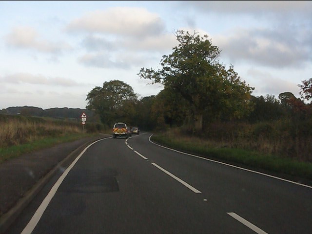
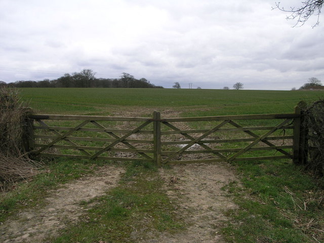
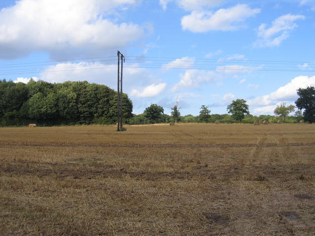
Fir Tree Grove Images
Images are sourced within 2km of 52.49464/-1.5286715 or Grid Reference SP3288. Thanks to Geograph Open Source API. All images are credited.


Fir Tree Grove is located at Grid Ref: SP3288 (Lat: 52.49464, Lng: -1.5286715)
Administrative County: Warwickshire
District: North Warwickshire
Police Authority: Warwickshire
What 3 Words
///pints.pigs.leans. Near Bedworth, Warwickshire
Nearby Locations
Related Wikis
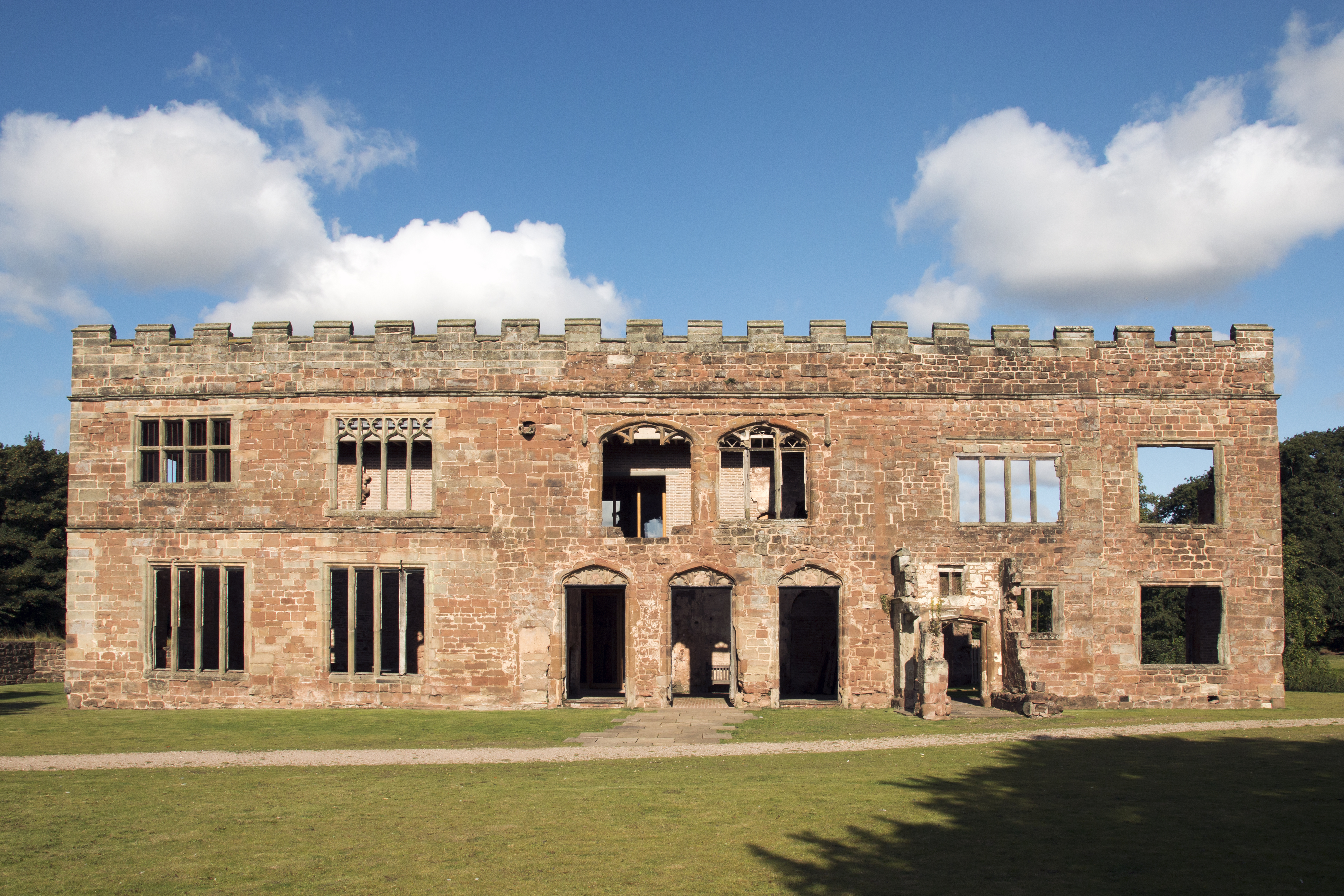
Astley Castle
Astley Castle is a ruinous moated fortified 16th century manor house in North Warwickshire, England. It has been listed as a Grade II* listed building...

Astley, Warwickshire
Astley is a small village and civil parish within the North Warwickshire district of Warwickshire, England. In the 2001 census it had a population of...

Arbury Hall
Arbury Hall (grid reference SP335893) is a Grade I listed country house in Nuneaton, Warwickshire, England, and the ancestral home of the Newdigate family...

Arbury Priory
Arbury Priory was an Augustinian priory in the parish of Chilvers Coton, Warwickshire, England. The priory was founded early in the reign of Henry II...

Corley services
Corley services is a motorway service station between junctions 3 and 3A of the M6 motorway in the county of Warwickshire, England. It is close to the...
Wood End, Fillongley
Wood End, is a small village in Warwickshire, England. It is situated north of Coventry. The village is part of the civil parish of Fillongley. There is...
Nuneaton Academy
Nuneaton Academy (formerly Alderman Smith School) is a coeducational secondary school with academy status located in Nuneaton, Warwickshire, England.Originally...

St Paul's Church, Stockingford
St Paul's Church, Stockingford, is a Church of England parish church in Stockingford, Nuneaton, Warwickshire, England. It is part of the Diocese of Coventry...
Nearby Amenities
Located within 500m of 52.49464,-1.5286715Have you been to Fir Tree Grove?
Leave your review of Fir Tree Grove below (or comments, questions and feedback).