Quarry Plantation
Wood, Forest in Leicestershire North West Leicestershire
England
Quarry Plantation

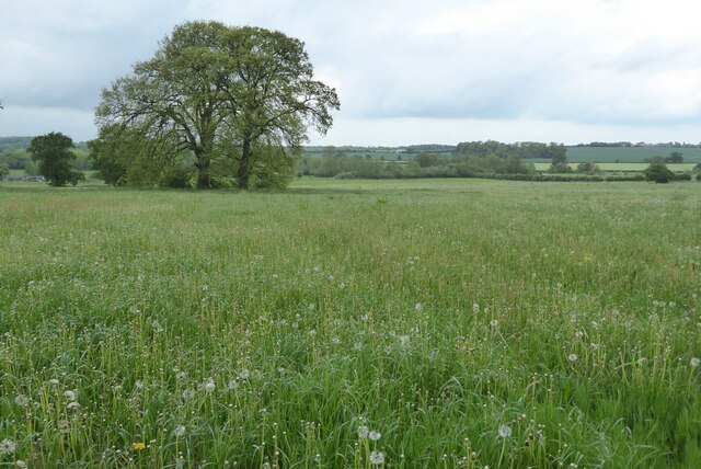
Quarry Plantation, located in Leicestershire, England, is a sprawling woodland area known for its rich natural beauty and historical significance. Covering an extensive area, the plantation is situated in the heart of the county, attracting nature enthusiasts, hikers, and history buffs alike.
The plantation is renowned for its dense forest, with a diverse range of trees such as oak, beech, and birch dominating the landscape. These trees provide a picturesque setting, especially during the autumn months when their leaves turn vibrant shades of red, orange, and gold.
Aside from its natural allure, Quarry Plantation also holds historical significance. It was once the site of a working quarry, hence its name, and remnants of this industrial past can still be seen today. Visitors can observe the old quarry workings, which provide a glimpse into the area's history and the processes involved in the extraction of stone.
Furthermore, Quarry Plantation offers a network of well-maintained footpaths and trails, making it an ideal destination for outdoor activities. Whether it's a leisurely stroll, a vigorous hike, or a peaceful picnic, visitors can immerse themselves in the tranquil surroundings and enjoy the beauty of nature.
Wildlife enthusiasts will also find Quarry Plantation fascinating, as it is home to a variety of animal species. Birdwatchers can spot numerous avian species, including woodpeckers, owls, and various songbirds. Additionally, the woodland provides a habitat for mammals like deer, foxes, and squirrels.
In conclusion, Quarry Plantation in Leicestershire is a captivating woodland area that offers a harmonious blend of natural beauty and historical interest. Its lush forests, remnants of the old quarry, and abundant wildlife make it a must-visit destination for anyone seeking a peaceful retreat in the heart of England.
If you have any feedback on the listing, please let us know in the comments section below.
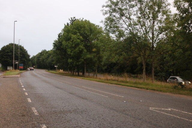
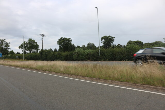
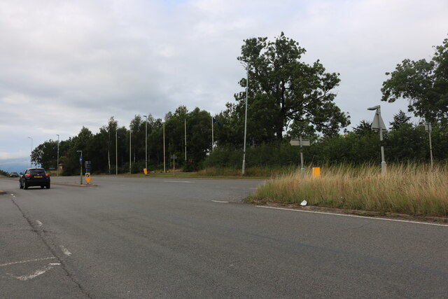
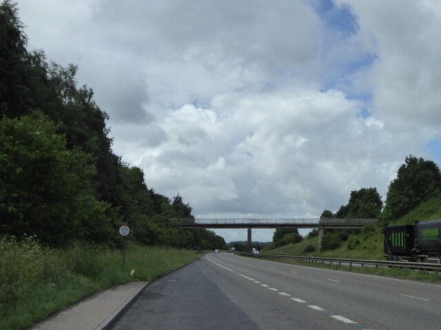
Quarry Plantation Images
Images are sourced within 2km of 52.699861/-1.5265687 or Grid Reference SK3211. Thanks to Geograph Open Source API. All images are credited.


Quarry Plantation is located at Grid Ref: SK3211 (Lat: 52.699861, Lng: -1.5265687)
Administrative County: Leicestershire
District: North West Leicestershire
Police Authority: Leicestershire
What 3 Words
///vies.ejects.unlimited. Near Measham, Leicestershire
Nearby Locations
Related Wikis
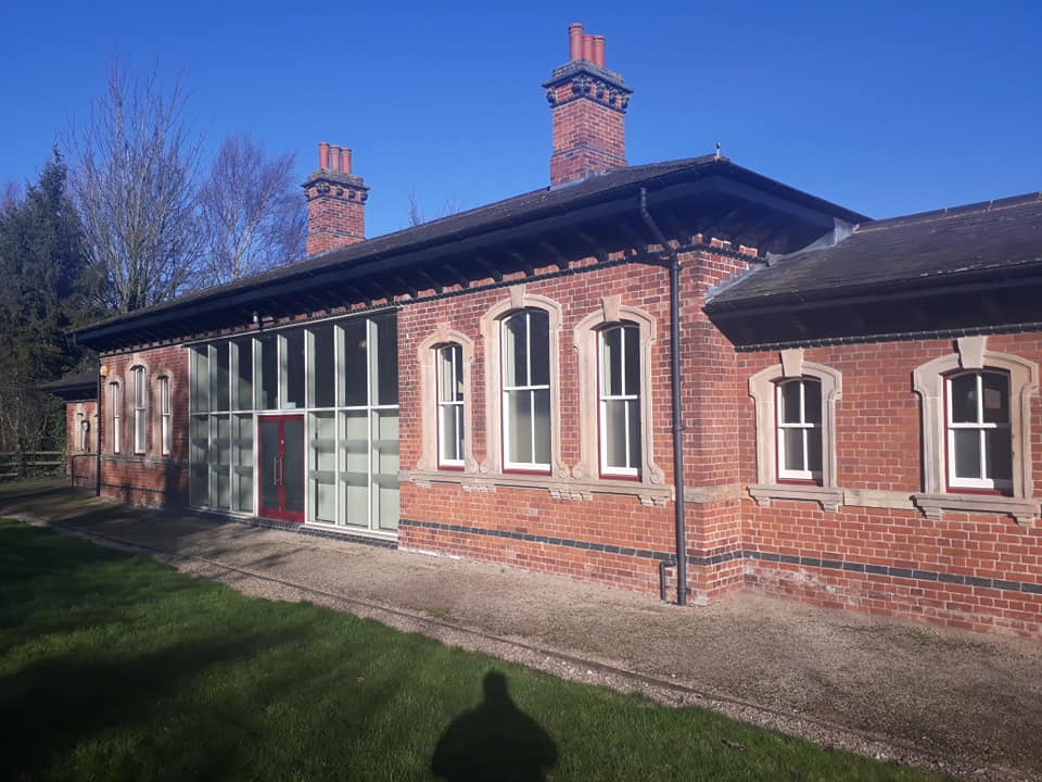
Measham railway station
Measham railway station is a disused railway station that formerly served the village of Measham, North West Leicestershire from 1873 to 1931. The station...

Measham
Measham is a large village in the North West Leicestershire district in Leicestershire, England, near the Derbyshire, Staffordshire and Warwickshire boundaries...

Oakthorpe
Oakthorpe is a village in north-west Leicestershire, England. In 1086, Oakthorpe was part of Derbyshire and was amongst several manors given to Nigel of...

Stretton en le Field
Stretton en le Field is a small village and civil parish in the North West Leicestershire district of Leicestershire, England, about 7 miles/11 km south...

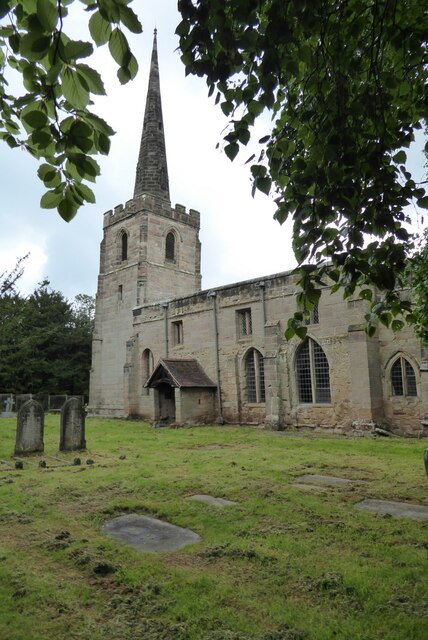
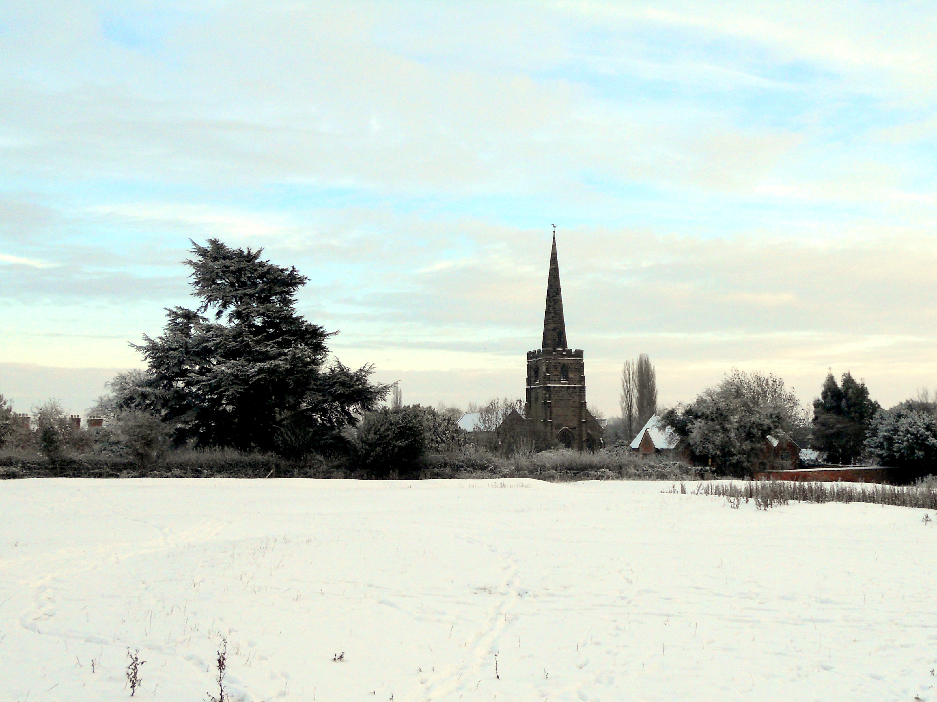
St Michael and All Angels' Church, Appleby Magna
St Michael and All Angels’ Church, Appleby Magna is a Grade II* listed parish church in the Church of England in Appleby Magna, Leicestershire == History... ==
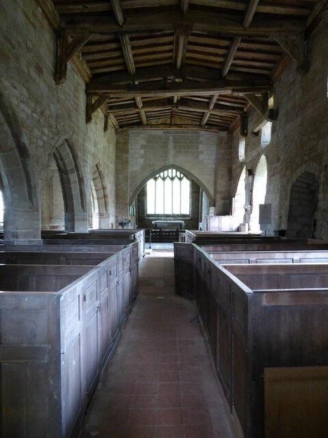
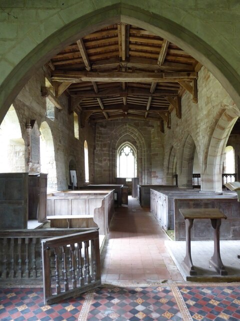
St Michael's Church, Stretton en le Field
St Michael's Church is a redundant Anglican church in the village of Stretton en le Field, Leicestershire, England (grid reference SK303119). It is recorded...
Appleby Magna
Appleby Magna is a village and civil parish in the North West Leicestershire district, in the county of Leicestershire, England. It includes the small...

Oakthorpe and Donisthorpe
Oakthorpe and Donisthorpe or Oakthorpe, Donisthorpe and Acresford is a civil parish in the North West Leicestershire district of Leicestershire, England...
Nearby Amenities
Located within 500m of 52.699861,-1.5265687Have you been to Quarry Plantation?
Leave your review of Quarry Plantation below (or comments, questions and feedback).