Black Wood
Wood, Forest in Yorkshire Harrogate
England
Black Wood
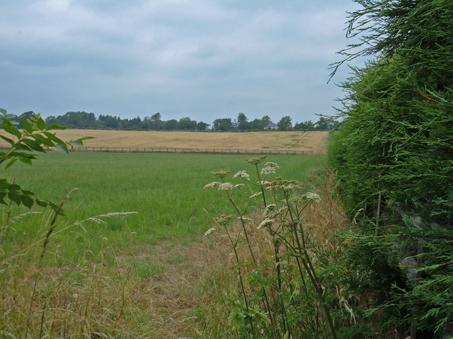
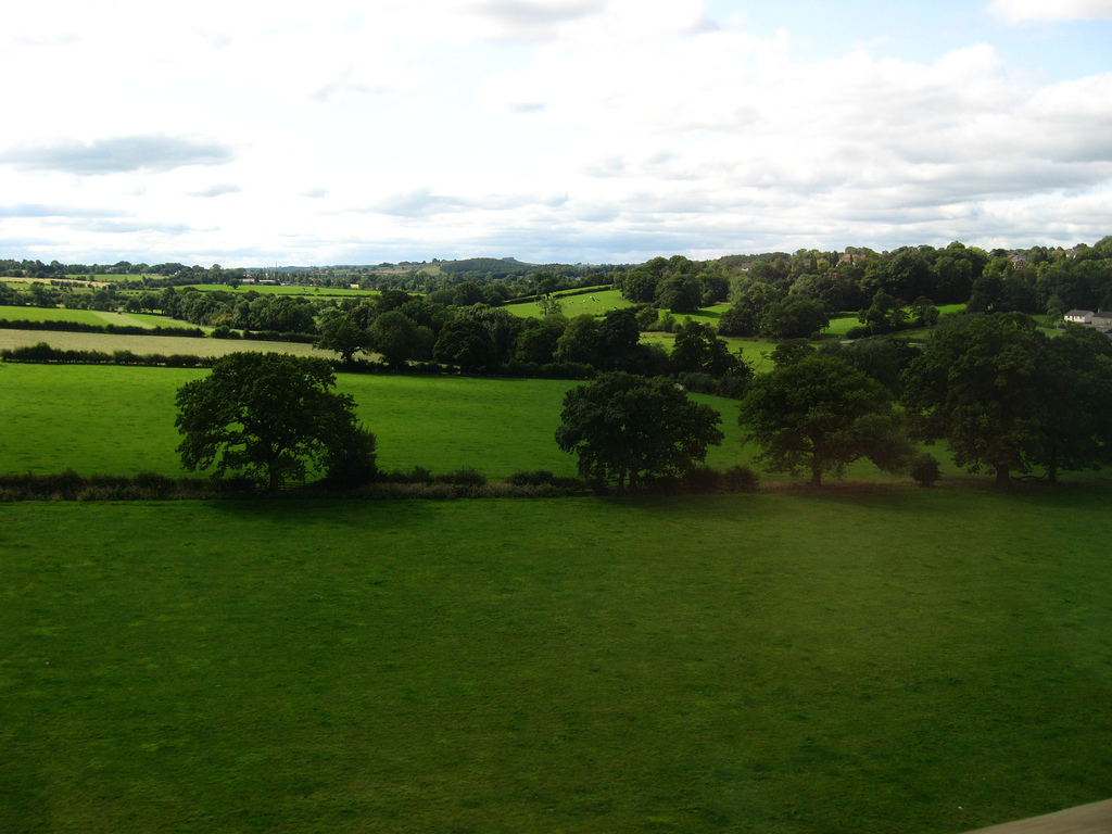
Black Wood is a picturesque forest located in Yorkshire, England. Situated near the village of Wood, this woodland area is renowned for its natural beauty and diverse range of flora and fauna. Spanning over 100 acres, Black Wood offers visitors a tranquil escape from the hustle and bustle of city life.
The forest is characterized by its dense canopy of tall, ancient oak trees, which create a sense of mystery and enchantment. Walking through the forest, visitors will be greeted by a carpet of vibrant green moss and an array of wildflowers, creating a stunning visual spectacle. The woodland floor is also home to a variety of ferns, adding to the overall lushness of the area.
Nature enthusiasts flock to Black Wood to observe the abundance of wildlife that calls this forest home. Birdwatchers can spot a wide range of avian species, including woodpeckers, owls, and various songbirds. Squirrels, rabbits, and hedgehogs can also be spotted, scurrying among the undergrowth.
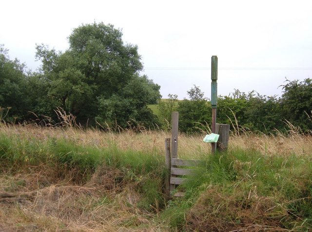
Black Wood offers numerous walking trails, catering to both casual strollers and avid hikers. The trails wind through the forest, revealing breathtaking vistas and hidden nooks. There are also designated picnic areas and benches along the way, allowing visitors to pause and appreciate the natural surroundings.
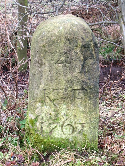
In addition to its natural beauty, Black Wood also holds historical significance. The forest is believed to have been in existence for hundreds of years and has witnessed various historical events. Local legend has it that the area was a hiding place for outlaws during medieval times.
Overall, Black Wood in Yorkshire is a captivating destination for nature lovers, offering a serene atmosphere, diverse wildlife, and a glimpse into the region's rich history.
If you have any feedback on the listing, please let us know in the comments section below.
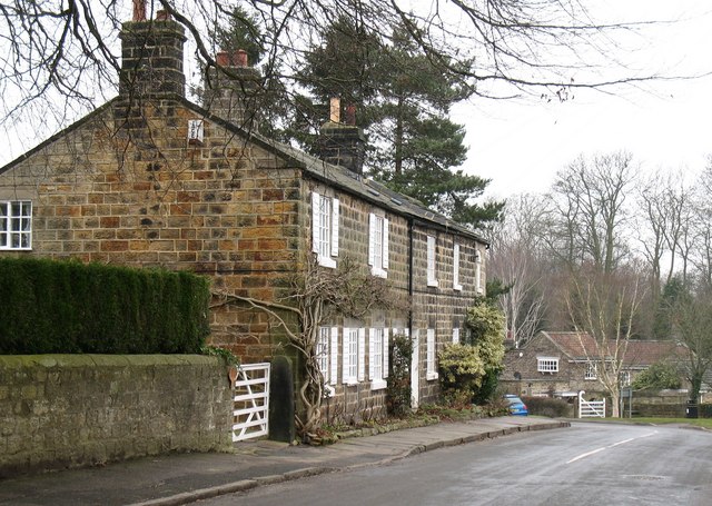
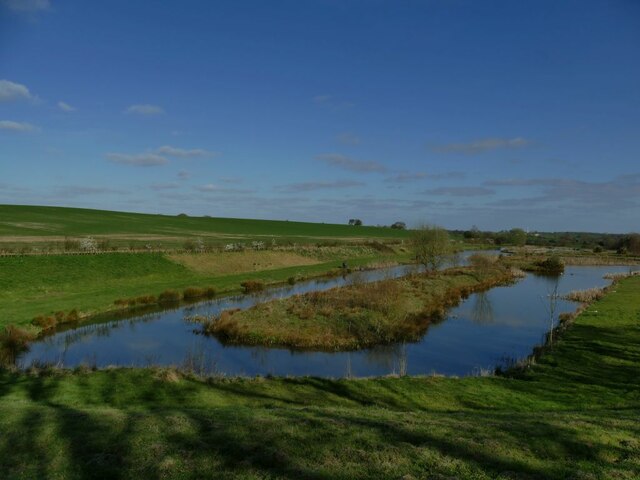
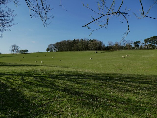
Black Wood Images
Images are sourced within 2km of 53.956426/-1.5130673 or Grid Reference SE3251. Thanks to Geograph Open Source API. All images are credited.


Black Wood is located at Grid Ref: SE3251 (Lat: 53.956426, Lng: -1.5130673)
Division: West Riding
Administrative County: North Yorkshire
District: Harrogate
Police Authority: North Yorkshire
What 3 Words
///describes.them.backpack. Near Pannal, North Yorkshire
Nearby Locations
Related Wikis
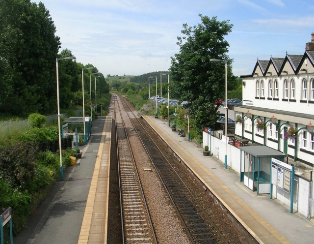
Pannal railway station
Pannal railway station serves the villages of Pannal and Spacey Houses in the southern suburbs of Harrogate, North Yorkshire, England, equidistant from...

Crimple railway station
Crimple railway station served the suburb of Crimple, in the historical county of North Riding of Yorkshire, England, from 1867 to 1869 on the Harrogate...
Pannal
Pannal is a village in the Harrogate district of North Yorkshire, England. Historically part of the West Riding of Yorkshire, it is situated to the immediate...

St Robert's Church, Pannal
St Robert's Church, Pannal, North Yorkshire, England, also known as St Robert of Knaresborough Parish Church, is a Grade II* listed building. A 13th-century...
Crimple Valley
Crimple Valley is an area south of Harrogate (North Yorkshire) surrounding the River Crimple (also known as Crimple Beck). It gave its name to the synthetic...

Crimple Valley Viaduct
Crimple Valley Viaduct, also known as Crimple Viaduct and Crimple Beck Viaduct is a railway viaduct which crosses the Crimple Valley between Pannal railway...
Burn Bridge
Burn Bridge is a village in the borough of Harrogate in North Yorkshire, England. It is 2.5 miles (4.0 km) south of the town of Harrogate, and forms part...

Kirkby Overblow
Kirkby Overblow is a village and civil parish in North Yorkshire, England. It is situated between Wetherby and Harrogate and lies to the west of Sicklinghall...
Nearby Amenities
Located within 500m of 53.956426,-1.5130673Have you been to Black Wood?
Leave your review of Black Wood below (or comments, questions and feedback).