Digby

Settlement in Lincolnshire North Kesteven

England

Digby

Main Street, near Digby Towards Ashby de la Launde.
Main Street, near Digby Credit: Julian P Guffogg

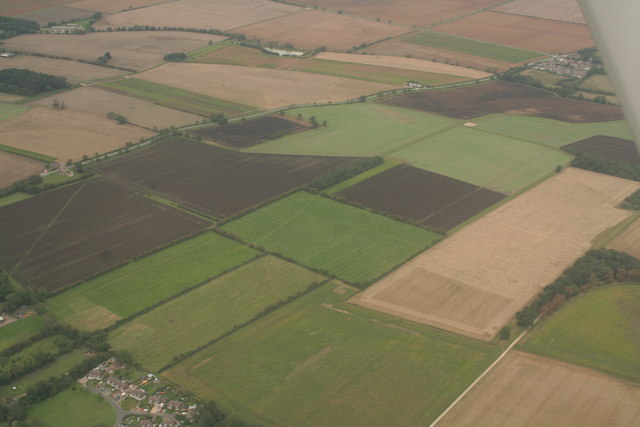
Digby is a small village located in the county of Lincolnshire, England. Situated approximately 6 miles south of the town of Sleaford, Digby is nestled in the heart of the East Midlands region. The village is positioned on the eastern edge of the Lincolnshire Fens, an area known for its flat, marshy landscapes.

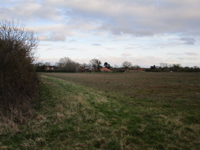
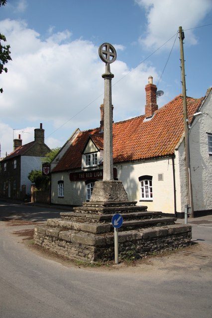
With a population of around 300 residents, Digby maintains a close-knit community atmosphere. The village boasts a picturesque setting, surrounded by lush green fields and farmland. The local architecture is predominantly traditional, with many charming cottages and farmhouses dotting the landscape.

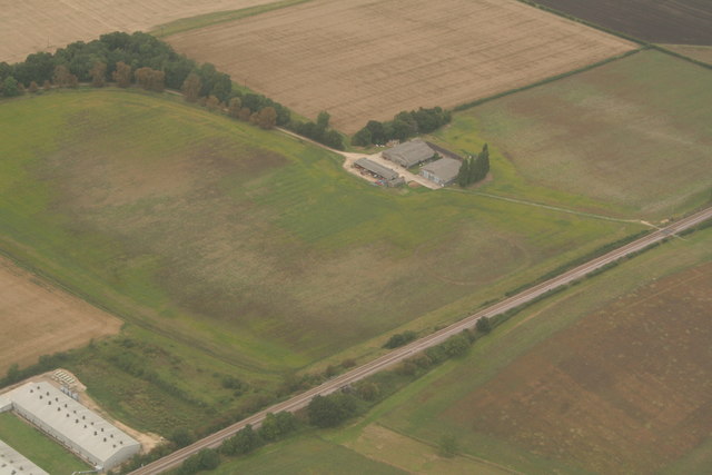
Digby is serviced by a range of amenities that cater to the needs of its residents. These include a primary school, a local pub, and a village hall that hosts various community events throughout the year. The village also benefits from good transport links, with the A15 road passing nearby, providing easy access to surrounding towns and cities.

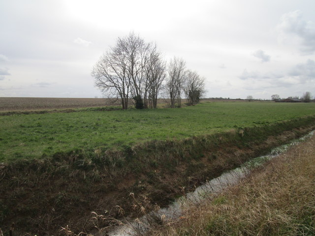
Nature enthusiasts will find plenty to explore in the surrounding area. The nearby Digby Fen nature reserve offers a tranquil escape, providing opportunities for birdwatching and enjoying the local wildlife. Additionally, the village is located within close proximity to several historic sites, including the impressive Belton House, a Grade I listed country house and gardens.

Overall, Digby offers a peaceful and idyllic setting for those seeking a rural lifestyle, while still providing convenient access to nearby towns and amenities.

If you have any feedback on the listing, please let us know in the comments section below.
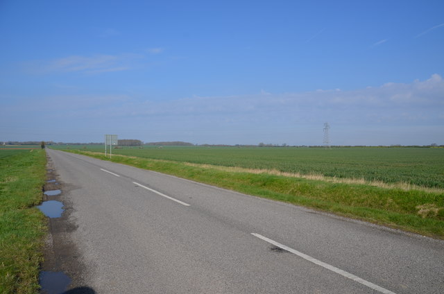
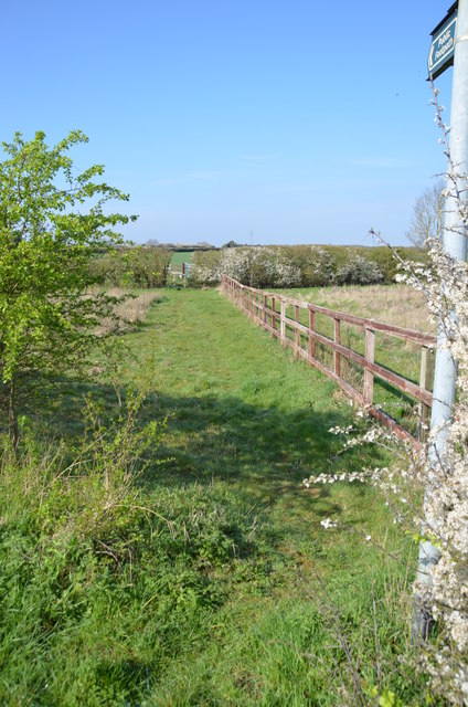
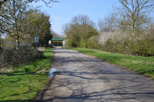
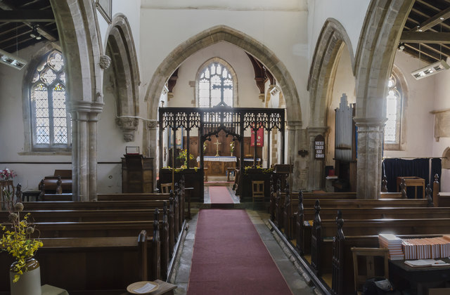
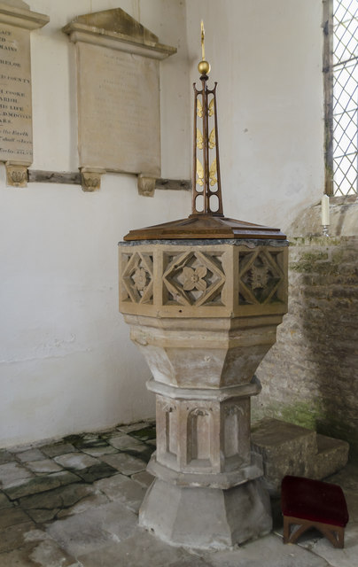
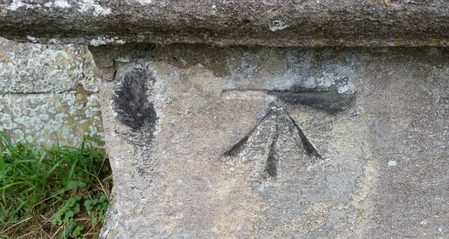
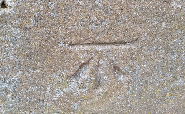
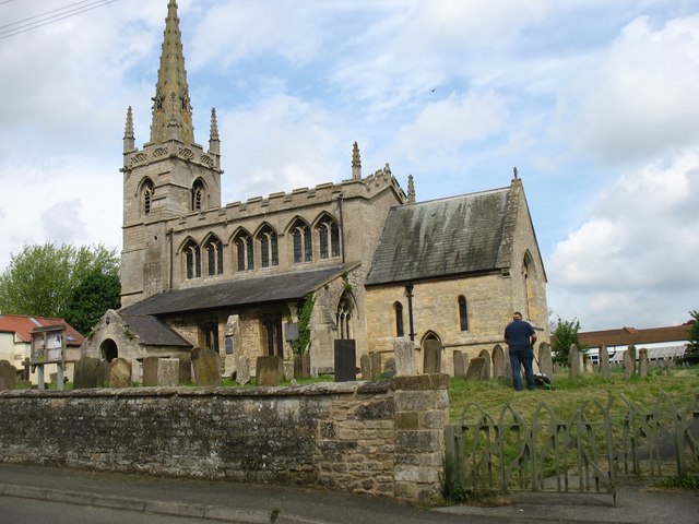
Digby Images

Images are sourced within 2km of 53.080486/-0.38329931 or Grid Reference TF0854. Thanks to Geograph Open Source API. All images are credited.

Main Street, near Digby Towards Ashby de la Launde.
Main Street, near Digby
Towards Ashby de la Launde.
Footpath off lane near Digby The path leads south west to the B1188 Lincoln Road.
Footpath off lane near Digby
The path leads south west to the B1188 Lincoln Road.
Fen Road towards Dorrington The bridge carries the Lincoln to Sleaford railway line.
Fen Road towards Dorrington
The bridge carries the Lincoln to Sleaford railway line.
Interior, St Thomas of Canterbury church, Digby Grade I listed

The church is thought to date to the 11th century onwards.  The south-east quoin of the nave demonstrates 11th century long-and-short work, while the south doorway is Norman. The long-and-short quoins may indicate that this was a church of some status by the early eleventh century, with potential minster status. 
The lower stages of the tower, the north and south aisles (both having three bays) and the chancel are of Early English date. The bell-openings in the tower, the windows of the north aisle and the east window of the south aisle are Decorated, while the clerestory and tower-top are Perpendicular. The church was restored by Charles Kirk in 1881, when the chancel was rebuilt. 

The church is built in coursed limestone rubble and ashlar, with slate roofs. It has an unbuttressed three-stage tower, an octagonal stone spire with lucarnes, and gargoyles.
The  font is octagonal, of 15th century date. 
A piscina and sedilia can be found in the chancel, which has an encaustic tile floor. 

Most fittings are 19th century except some 15th C.  bench ends.
Having only a few stained glass windows give the church a light airy feel.
Interior, St Thomas of Canterbury church, Digby
Grade I listed The church is thought to date to the 11th century onwards. The south-east quoin of the nave demonstrates 11th century long-and-short work, while the south doorway is Norman. The long-and-short quoins may indicate that this was a church of some status by the early eleventh century, with potential minster status. The lower stages of the tower, the north and south aisles (both having three bays) and the chancel are of Early English date. The bell-openings in the tower, the windows of the north aisle and the east window of the south aisle are Decorated, while the clerestory and tower-top are Perpendicular. The church was restored by Charles Kirk in 1881, when the chancel was rebuilt. The church is built in coursed limestone rubble and ashlar, with slate roofs. It has an unbuttressed three-stage tower, an octagonal stone spire with lucarnes, and gargoyles. The font is octagonal, of 15th century date. A piscina and sedilia can be found in the chancel, which has an encaustic tile floor. Most fittings are 19th century except some 15th C. bench ends. Having only a few stained glass windows give the church a light airy feel.
Stained glass window, St Thomas' church, Digby Depicting St Chrisopher and St Alban, glass by Powell.
In memory of Periera Brown, d. 1928.
Stained glass window, St Thomas' church, Digby
Depicting St Chrisopher and St Alban, glass by Powell. In memory of Periera Brown, d. 1928.
Font, St Thomas' church, Digby Inside the south door. Note the damp present on the floor.
Font, St Thomas' church, Digby
Inside the south door. Note the damp present on the floor.
St Thomas' church, Digby Grade I listed

The church is thought to date to the 11th century onwards.  The south-east quoin of the nave demonstrates 11th century long-and-short work, while the south doorway is Norman. The long-and-short quoins may indicate that this was a church of some status by the early eleventh century, with potential minster status. 
The lower stages of the tower, the north and south aisles (both having three bays) and the chancel are of Early English date. The bell-openings in the tower, the windows of the north aisle and the east window of the south aisle are Decorated, while the clerestory and tower-top are Perpendicular. The church was restored by Charles Kirk in 1881, when the chancel was rebuilt. 

The church is built in coursed limestone rubble and ashlar, with slate roofs. It has an unbuttressed three-stage tower, an octagonal stone spire with lucarnes, and gargoyles.
The  font is octagonal, of 15th century date. 
A piscina and sedilia can be found in the chancel, which has an encaustic tile floor. 

Most fittings are 19th century except some 15th C.  bench ends.
Having only a few stained glass windows give the church a light airy feel.
St Thomas' church, Digby
Grade I listed The church is thought to date to the 11th century onwards. The south-east quoin of the nave demonstrates 11th century long-and-short work, while the south doorway is Norman. The long-and-short quoins may indicate that this was a church of some status by the early eleventh century, with potential minster status. The lower stages of the tower, the north and south aisles (both having three bays) and the chancel are of Early English date. The bell-openings in the tower, the windows of the north aisle and the east window of the south aisle are Decorated, while the clerestory and tower-top are Perpendicular. The church was restored by Charles Kirk in 1881, when the chancel was rebuilt. The church is built in coursed limestone rubble and ashlar, with slate roofs. It has an unbuttressed three-stage tower, an octagonal stone spire with lucarnes, and gargoyles. The font is octagonal, of 15th century date. A piscina and sedilia can be found in the chancel, which has an encaustic tile floor. Most fittings are 19th century except some 15th C. bench ends. Having only a few stained glass windows give the church a light airy feel.
St Clement's church, Rowston From the south.
St Clement's church, Rowston
From the south.
Ordnance Survey Cut Mark This OS cut mark can be found on the west face of St James & St John's Church. It marks a point 28.295m above mean sea level.
Ordnance Survey Cut Mark
This OS cut mark can be found on the west face of St James & St John's Church. It marks a point 28.295m above mean sea level.
Ordnance Survey Cut Mark This OS cut mark can be found on the south face of St Thomas Church. It marks a point 17.075m above mean sea level.
Ordnance Survey Cut Mark
This OS cut mark can be found on the south face of St Thomas Church. It marks a point 17.075m above mean sea level.
St Thomas a Becket church, Digby ...
St Thomas a Becket church, Digby
...
Land between a drain and a beck The beck is Digby Beck which runs alongside the trees in the middle of the picture.
Land between a drain and a beck
The beck is Digby Beck which runs alongside the trees in the middle of the picture.
Looking towards Manor Farm, Digby
Lane to Manor Farm, Digby An unclassified county road.
Lane to Manor Farm, Digby
An unclassified county road.
Ridge and furrow north of Dorrington (1)
Ridge and furrow north of Dorrington (2)
Ridge and furrow, Dorrington Grange: aerial 2020
Digby - Red Lion PH & cross
Show me another place!

Digby is located at Grid Ref: TF0854 (Lat: 53.080486, Lng: -0.38329931)

Division: Parts of Kesteven

Administrative County: Lincolnshire

District: North Kesteven

Police Authority: Lincolnshire

What 3 Words

///costumed.spurring.prefect. Near Ruskington, Lincolnshire

Nearby Locations

Digby

Related Wikis

Digby railway station

Digby railway station was a railway station in Digby, Lincolnshire, which was open between 1882 and 1961. == History == The railway line between Sleaford...

Digby, Lincolnshire

Digby is a small village and civil parish in the district of North Kesteven, Lincolnshire, England. The village is in the vale of the Digby Beck watercourse...

Rowston

Rowston is a village and civil parish in the North Kesteven district of Lincolnshire, England, situated approximately 6 miles (10 km) north from the town...

Dorrington, Lincolnshire

Dorrington is a village and civil parish in the North Kesteven district of Lincolnshire, England. It is situated 1.2 miles (2 km) both south from Digby...

Nearby Amenities

Located within 500m of 53.080486,-0.38329931
Digby
Is In: Lincolnshire, England, UK
Place: village
Source: Bing
Lat/Long: 53.0804317/-0.3863599
Source: OS_OpenData _StreetView
Lat/Long: 53.0792746/-0.3899253
Source: OS_OpenData _StreetView
Lat/Long: 53.0793772/-0.3885077
Source: OS_OpenData _StreetView
Lat/Long: 53.0793998/-0.3870151
Source: OS_OpenData _StreetView
Lat/Long: 53.0791316/-0.3851974
Source: OS_OpenData _StreetView
Lat/Long: 53.0792139/-0.3835487
Source: OS_OpenData _StreetView
Lat/Long: 53.0792733/-0.3832141
Source: OS_OpenData _StreetView
Lat/Long: 53.0795852/-0.3831687
Source: OS_OpenData _StreetView
Lat/Long: 53.0805296/-0.3832547
Source: OS_OpenData _StreetView
Lat/Long: 53.0808646/-0.3815223
Source: OS_OpenData _StreetView
Lat/Long: 53.0813043/-0.379317
Source: OS_OpenData _StreetView
Lat/Long: 53.0819627/-0.3779163
Source: OS_OpenData _StreetView
Lat/Long: 53.0819165/-0.3765892
Digby
Historic Railway: station
Railway: site
Wikidata: Q5275595
Wikipedia: en:Digby railway station
Lat/Long: 53.0808341/-0.3777745
Manor Farm
Place: farm
Source: Bing
Lat/Long: 53.083302/-0.3873429
Home Barn
Place: farm
Source: Bing
Lat/Long: 53.0819328/-0.3804873
Information: board
Tourism: information
Lat/Long: 53.0792066/-0.3869483
Barrier: stile
Bicycle: no
Foot: destination
Horse: no
Material: wood
Motor Vehicle: no
Steps: 2
Stile: stepover
Lat/Long: 53.0785696/-0.3868388
Barrier: cycle_barrier
Lat/Long: 53.0794319/-0.3880957
Bench
Lat/Long: 53.0799079/-0.3848042
Barrier: stile
Steps: 2
Stile: stepover
Lat/Long: 53.0838488/-0.3882272
Bench
Lat/Long: 53.0813107/-0.3889258
Barrier: cycle_barrier
Lat/Long: 53.0803924/-0.3875285
Access: destination
Barrier: stile
Bicycle: no
Foot: yes
Horse: no
Material: wood
Motor Vehicle: no
Steps: 2
Stile: stepover
Lat/Long: 53.0778257/-0.3865439
Artwork Type: sculpture
Tourism: artwork
Lat/Long: 53.0792071/-0.3869059
Man Made: tower
Tower Type: communication
Lat/Long: 53.0776343/-0.3778236
Generator Method: photovoltaic
Generator Output Electricity: yes
Generator Source: solar
Generator Type: solar_photovoltaic_panel
Location: roof
Power: generator
Lat/Long: 53.0829186/-0.3860597
Generator Method: photovoltaic
Generator Output Electricity: yes
Generator Source: solar
Generator Type: solar_photovoltaic_panel
Location: roof
Power: generator
Lat/Long: 53.0814485/-0.3848206
Generator Method: photovoltaic
Generator Output Electricity: yes
Generator Source: solar
Generator Type: solar_photovoltaic_panel
Location: roof
Power: generator
Lat/Long: 53.0814219/-0.3848984
Generator Method: photovoltaic
Generator Output Electricity: yes
Generator Source: solar
Generator Type: solar_photovoltaic_panel
Location: roof
Power: generator
Lat/Long: 53.0813373/-0.3850687
Generator Method: photovoltaic
Generator Output Electricity: yes
Generator Source: solar
Generator Type: solar_photovoltaic_panel
Location: roof
Power: generator
Lat/Long: 53.0808628/-0.3849802
Generator Method: photovoltaic
Generator Output Electricity: yes
Generator Source: solar
Generator Type: solar_photovoltaic_panel
Location: roof
Power: generator
Lat/Long: 53.0808652/-0.3848823
Generator Method: photovoltaic
Generator Output Electricity: yes
Generator Source: solar
Generator Type: solar_photovoltaic_panel
Location: roof
Power: generator
Lat/Long: 53.0808853/-0.3848246
Generator Method: photovoltaic
Generator Output Electricity: yes
Generator Source: solar
Generator Type: solar_photovoltaic_panel
Location: roof
Power: generator
Lat/Long: 53.080514/-0.3843847
Generator Method: photovoltaic
Generator Output Electricity: yes
Generator Source: solar
Generator Type: solar_photovoltaic_panel
Location: roof
Power: generator
Lat/Long: 53.0803239/-0.3846543
Generator Method: photovoltaic
Generator Output Electricity: yes
Generator Source: solar
Generator Type: solar_photovoltaic_panel
Location: roof
Power: generator
Lat/Long: 53.0803222/-0.3845282
Generator Method: photovoltaic
Generator Output Electricity: yes
Generator Source: solar
Generator Type: solar_photovoltaic_panel
Location: roof
Power: generator
Lat/Long: 53.0803295/-0.3843525
Generator Method: photovoltaic
Generator Output Electricity: yes
Generator Source: solar
Generator Type: solar_photovoltaic_panel
Location: roof
Power: generator
Lat/Long: 53.0803351/-0.3841876
Generator Method: photovoltaic
Generator Output Electricity: yes
Generator Source: solar
Generator Type: solar_photovoltaic_panel
Location: roof
Power: generator
Lat/Long: 53.0800733/-0.3907
Generator Method: photovoltaic
Generator Output Electricity: yes
Generator Source: solar
Generator Type: solar_photovoltaic_panel
Location: roof
Power: generator
Lat/Long: 53.0797229/-0.3896942
Generator Method: photovoltaic
Generator Output Electricity: yes
Generator Source: solar
Generator Type: solar_photovoltaic_panel
Location: roof
Power: generator
Lat/Long: 53.0797189/-0.3898377
Generator Method: photovoltaic
Generator Output Electricity: yes
Generator Source: solar
Generator Type: solar_photovoltaic_panel
Location: roof
Power: generator
Lat/Long: 53.0800625/-0.3858901
Generator Method: photovoltaic
Generator Output Electricity: yes
Generator Source: solar
Generator Type: solar_photovoltaic_panel
Location: roof
Power: generator
Lat/Long: 53.0811843/-0.3873244
Generator Method: photovoltaic
Generator Output Electricity: yes
Generator Source: solar
Generator Type: solar_photovoltaic_panel
Location: roof
Power: generator
Lat/Long: 53.0811851/-0.387374
Generator Method: photovoltaic
Generator Output Electricity: yes
Generator Source: solar
Generator Type: solar_photovoltaic_panel
Location: roof
Power: generator
Lat/Long: 53.0811891/-0.3874089
Generator Method: photovoltaic
Generator Output Electricity: yes
Generator Source: solar
Generator Type: solar_photovoltaic_panel
Location: roof
Power: generator
Lat/Long: 53.0811891/-0.3874679
Generator Method: photovoltaic
Generator Output Electricity: yes
Generator Source: solar
Generator Type: solar_photovoltaic_panel
Location: roof
Power: generator
Lat/Long: 53.0826713/-0.3861482
Generator Method: photovoltaic
Generator Output Electricity: yes
Generator Source: solar
Generator Type: solar_photovoltaic_panel
Location: roof
Power: generator
Lat/Long: 53.0827946/-0.3862488
Power: pole
Lat/Long: 53.0782659/-0.3876992
Power: pole
Lat/Long: 53.078396/-0.3869516
Power: pole
Lat/Long: 53.0780923/-0.3853878
Power: pole
Lat/Long: 53.0779393/-0.384612
Power: pole
Lat/Long: 53.076796/-0.3838268
Power: pole
Lat/Long: 53.0776742/-0.3832716
Power: pole
Lat/Long: 53.0785572/-0.3827164
Power: pole
Lat/Long: 53.0793749/-0.3822101
Power: pole
Lat/Long: 53.0802643/-0.3825286
Power: pole
Lat/Long: 53.0806217/-0.3826723
Material: wood
Power: pole
Lat/Long: 53.0807098/-0.3827091
Power: pole
Lat/Long: 53.0826399/-0.3833842
Power: pole
Lat/Long: 53.0833214/-0.383631
Power: pole
Lat/Long: 53.0837741/-0.3838
Power: pole
Lat/Long: 53.0846602/-0.3841138
Grit Bin
Lat/Long: 53.0831885/-0.3845282
Power: pole
Lat/Long: 53.0835925/-0.3779393
Power: pole
Lat/Long: 53.0833367/-0.379373
Power: pole
Lat/Long: 53.0831027/-0.3806866
Power: pole
Lat/Long: 53.0828606/-0.3820834
Public Bookcase
Booth: K6
Disused Amenity: telephone
Listed Status: Grade II
Man Made: telephone_box
Public Bookcase Type: phone_box
Lat/Long: 53.0793123/-0.3885861
Historic: building
Man Made: dovecote
Lat/Long: 53.0793195/-0.3888007
Leisure: playground
Lat/Long: 53.0807221/-0.3884842
Entrance: yes
Lat/Long: 53.0795951/-0.3866644
Advertising: board
Lat/Long: 53.0793304/-0.3868497
Bench
Lat/Long: 53.0794914/-0.3865922
Bench
Lat/Long: 53.0793893/-0.3866074
Bench
Lat/Long: 53.0796401/-0.3868613
Stop
Direction: backward
Lat/Long: 53.0793388/-0.3870223
Defibrillator
Access: yes
Defibrillator Location: outside Digby War Memorial Hall
Emergency: defibrillator
Indoor: no
Lat/Long: 53.0795933/-0.3866287
The data included in this document is from www.openstreetmap.org. The data is made available under ODbL.

Have you been to Digby?

Leave your review of Digby below (or comments, questions and feedback).