Bunting Wood

Wood, Forest in Derbyshire Derbyshire Dales

England

Bunting Wood

Cottages in Holloway Narrow street in the village.
Cottages in Holloway Credit: steven ruffles

Bunting Wood is a picturesque woodland located in Derbyshire, England. Situated near the village of Buntingfield, the wood spans over 50 acres and offers visitors a tranquil escape into nature. It is part of the wider Buntingfield Park, which encompasses several other woodlands and open spaces.

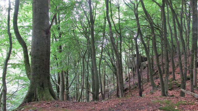
The wood features a diverse range of tree species, including oak, birch, beech, and ash, creating a rich and vibrant landscape throughout the year. The forest floor is adorned with a carpet of bluebells in the spring, adding a splash of color to the surroundings. Towering trees provide ample shade during the summer months, making it an ideal spot for picnics and leisurely walks.

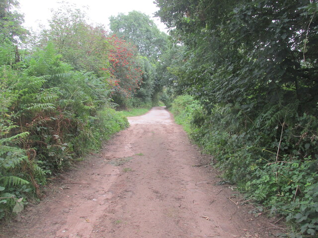
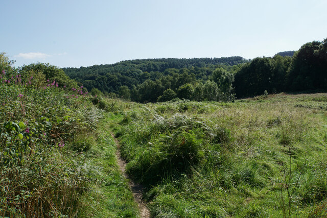
Bunting Wood is crisscrossed by a network of well-maintained footpaths, allowing visitors to explore the area at their own pace. These trails wind through the wood, offering glimpses of wildlife such as deer, squirrels, and a variety of bird species. Nature enthusiasts can also spot rare flora and fauna, as the wood is home to many protected species.

The wood is a popular destination for outdoor activities such as hiking, birdwatching, and photography. It attracts visitors of all ages, from families seeking a day out in nature to individuals looking for a peaceful retreat. Bunting Wood's tranquil atmosphere and natural beauty make it a cherished destination for locals and tourists alike.

If you have any feedback on the listing, please let us know in the comments section below.
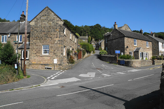
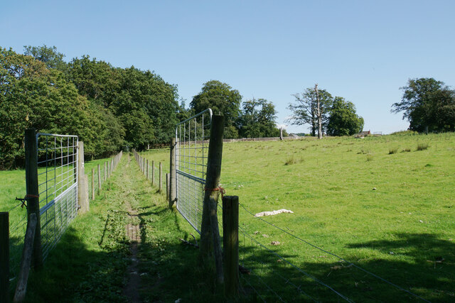
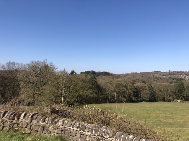
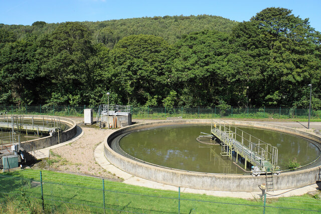
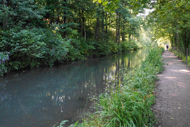
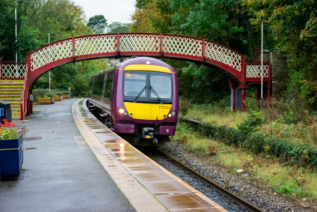
Bunting Wood Images

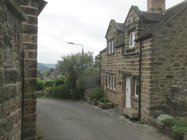
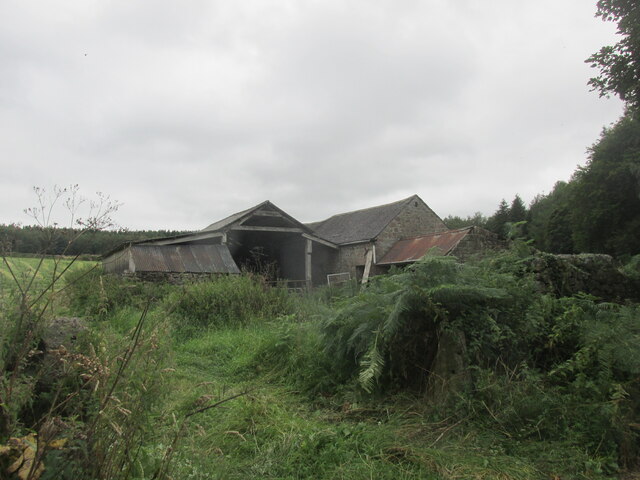
Images are sourced within 2km of 53.088187/-1.5268149 or Grid Reference SK3154. Thanks to Geograph Open Source API. All images are credited.

Cottages in Holloway Narrow street in the village.
Cottages in Holloway
Narrow street in the village.
Intake Lane Close to Birchwood Farm campsite.
Intake Lane
Close to Birchwood Farm campsite.
Old barn alongside the Midshires Way Intake Lane.
Old barn alongside the Midshires Way
Intake Lane.
Bauston Tor In the trees above the Incline.
Bauston Tor
In the trees above the Incline.
The Hollow, Holloway Older cottages in Holloway.
The Hollow, Holloway
Older cottages in Holloway.
Path to Holloway The path passes through the grounds of Lea Hurst but is fully fenced off from the rest of the estate.
Path to Holloway
The path passes through the grounds of Lea Hurst but is fully fenced off from the rest of the estate.
Path in Lea Wood The path traverses the hill before descending to the Cromford Canal.
Path in Lea Wood
The path traverses the hill before descending to the Cromford Canal.
Lea Wood A view looking down the hill towards Lea Brook at the bottom, though it cannot be seen from here.
Lea Wood
A view looking down the hill towards Lea Brook at the bottom, though it cannot be seen from here.
Signpost in Lea Wood There are 5 directions here though I only found 3 paths.
Signpost in Lea Wood
There are 5 directions here though I only found 3 paths.
A bit of open space above Lea Wood Much of the sides of the Derwent valley is thickly wooded, but this is a clearing above the wood.
A bit of open space above Lea Wood
Much of the sides of the Derwent valley is thickly wooded, but this is a clearing above the wood.
Birch Wood The wood is on the east bank of the River Derwent south of Hollywood
Birch Wood
The wood is on the east bank of the River Derwent south of Hollywood
Path above Aqueduct Cottage The path descends out of Lea Wood to the Cromford Canal. Aqueduct Cottage is being renovated by Derbyshire Wildlife Trust and their work includes the path out of the wood.
Path above Aqueduct Cottage
The path descends out of Lea Wood to the Cromford Canal. Aqueduct Cottage is being renovated by Derbyshire Wildlife Trust and their work includes the path out of the wood.
Tiddlers in the Cromford Canal The water didn't look especially clear, but it was clear enough to see these.
Tiddlers in the Cromford Canal
The water didn't look especially clear, but it was clear enough to see these.
The Cromford Canal No longer used for navigation, and the foliage is encroaching.
The Cromford Canal
No longer used for navigation, and the foliage is encroaching.
Sewage works in the Derwent valley The valley is full of the trappings of human activity, road, rail, canal and sewage treatment. Bow Wood rises behind on the other side of the river.
Sewage works in the Derwent valley
The valley is full of the trappings of human activity, road, rail, canal and sewage treatment. Bow Wood rises behind on the other side of the river.
The Cromford Canal A stretch with trees on both sides so that the view does not vary much.
The Cromford Canal
A stretch with trees on both sides so that the view does not vary much.
Cromford Canal near High Peak Junction Autumnal colours and weak sunshine made for a delightful stroll out from Cromford Mill
Cromford Canal near High Peak Junction
Autumnal colours and weak sunshine made for a delightful stroll out from Cromford Mill
Derby bound service arriving at Whatstandwell Station
Show me another place!

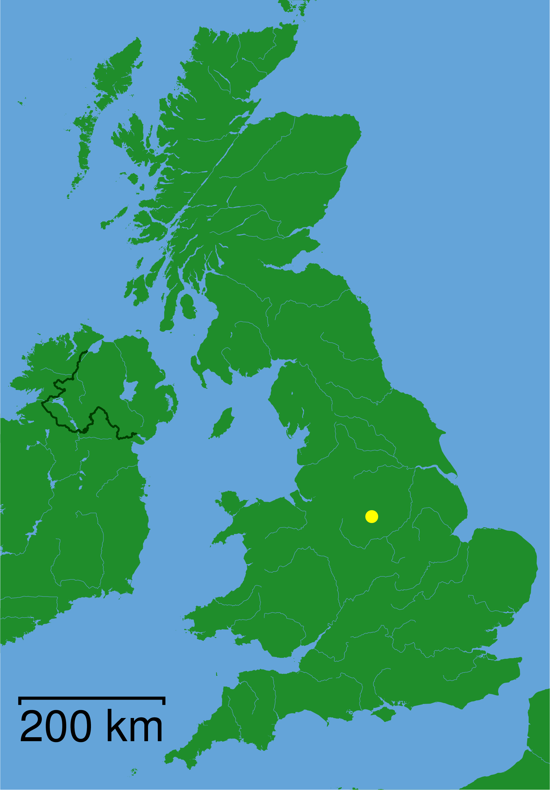
Bunting Wood is located at Grid Ref: SK3154 (Lat: 53.088187, Lng: -1.5268149)

Administrative County: Derbyshire

District: Derbyshire Dales

Police Authority: Derbyshire

What 3 Words

///stores.fishery.replenish. Near Wirksworth, Derbyshire

Related Wikis

Leawood Pump House

The Leawood Pump House (also known as High Peak Pump House) was built near Cromford, Derbyshire, England in 1849 to supply water to the Cromford Canal...

High Peak Junction

High Peak Junction, near Cromford, Derbyshire, England, is the name now used to describe the site where the former Cromford and High Peak Railway (C&HPR...

Alderwasley Hall School

Alderwasley Hall School is a private residential special school. The school is for children and young people aged 5 to 20 with High-Functioning ASD (Autism...

Whatstandwell railway station

Whatstandwell railway station is a railway station owned by Network Rail and managed by East Midlands Railway. It serves the villages of Whatstandwell...

Derwent Valley line

The Derwent Valley line is a railway line from Derby to Matlock in Derbyshire. The line follows the Midland Main Line as far as Ambergate Junction, which...

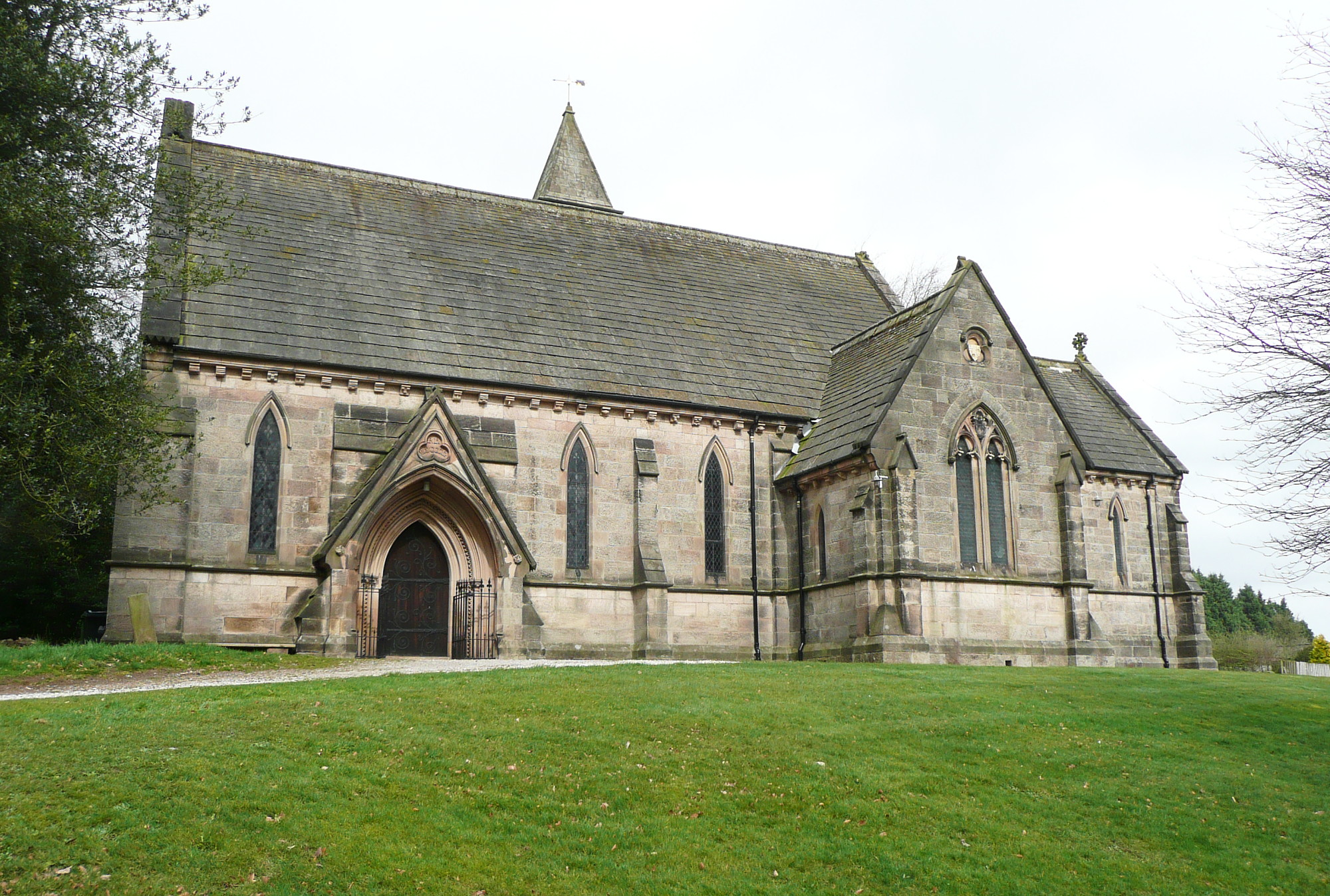
All Saints' Church, Alderwasley

All Saints’ Church, Alderwasley, is a Grade II listed parish church in the Church of England: 55  in Alderwasley, Derbyshire. == History == The church...

Whatstandwell

Whatstandwell () is a village on the River Derwent in the Amber Valley district of Derbyshire, England. It is about five miles south of Matlock and about...

Alderwasley

Alderwasley ( AL-ərz-LEE) is a village and civil parish in the Amber Valley district of Derbyshire, England. The population of the civil parish as of the...

Nearby Amenities

Located within 500m of 53.088187,-1.5268149
Barrier: stile
Material: wood
Source: survey;gps
Steps: 1
Stile: stepover
Lat/Long: 53.0860766/-1.5205399
Barrier: stile
Material: wood
Source: survey;gps
Steps: 2
Stile: stepover
Lat/Long: 53.0894018/-1.5257115
Barrier: stile
Steps: 2
Stile: stepover
Lat/Long: 53.0897518/-1.5258308
Barrier: stile
Material: stone
Source: survey;gps
Stile: squeezer
Lat/Long: 53.0916112/-1.5280509
Barrier: stile
Material: stone
Source: survey;gps
Steps: 1
Stile: squeezer
Lat/Long: 53.0916434/-1.5281357
Barrier: stile;gate
Note: stile below, gate above
Source: survey;gps
Stile: squeezer
Lat/Long: 53.092175/-1.5293072
Ele: 139.0000000
Lat/Long: 53.0882138/-1.5201263
Ele: 137.0000000
Lat/Long: 53.0881555/-1.5201243
Ele: 147
Lat/Long: 53.0875423/-1.5210318
Ele: 148
Lat/Long: 53.087522/-1.5212181
Ele: 150
Lat/Long: 53.0875032/-1.5216726
Ele: 141
Lat/Long: 53.0874001/-1.5239203
Ele: 137
Lat/Long: 53.0889508/-1.5198892
Ele: 137
Lat/Long: 53.0889089/-1.5197283
Ele: 137
Lat/Long: 53.0885384/-1.5199482
Ford: stepping_stones
Lat/Long: 53.0872875/-1.525034
Ele: 176
Lat/Long: 53.085245/-1.5314447
Ele: 162.0000000
Lat/Long: 53.0860104/-1.5313908
Ele: 149.0000000
Lat/Long: 53.0870709/-1.5307441
Ele: 149.0000000
Lat/Long: 53.0870812/-1.5306729
Ele: 157.0000000
Lat/Long: 53.086146/-1.5301126
Ele: 148
Lat/Long: 53.0871564/-1.5302409
Ele: 149.0000000
Lat/Long: 53.0870854/-1.5306368
Ele: 134
Lat/Long: 53.0873943/-1.5258129
Ele: 139
Lat/Long: 53.087549/-1.5276172
Ele: 149.0000000
Lat/Long: 53.0870502/-1.5305381
Barrier: stile
Material: stone
Steps: 2
Stile: stepover
Lat/Long: 53.0848576/-1.5293794
Barrier: stile
Steps: 2
Stile: wall
Lat/Long: 53.084189/-1.5242515
Barrier: stile
Stile: squeezer
Lat/Long: 53.0874142/-1.5238582
Barrier: stile
Steps: 1
Stile: stepover
Lat/Long: 53.0872738/-1.5251426
Barrier: stile
Stile: squeezer
Lat/Long: 53.0876875/-1.5235711
Information: route_marker
Tourism: information
Lat/Long: 53.0888/-1.5252419
Barrier: stile
Steps: 1
Stile: stepover
Lat/Long: 53.0888238/-1.5251981
Barrier: stile
Material: wood
Source: survey;gps
Stile: stepover
Lat/Long: 53.0892333/-1.5256294
Ford: stepping_stones
Lat/Long: 53.0875614/-1.5307869
Barrier: stile
Material: wood
Source: survey;gps
Stile: stepover
Lat/Long: 53.0875454/-1.5307796
Welcome to Crabtree Wood
Information: board
Tourism: information
Lat/Long: 53.0915987/-1.5281973
Information: route_marker
Tourism: information
Lat/Long: 53.0860741/-1.5205289
Information: route_marker
Tourism: information
Lat/Long: 53.0866784/-1.521647
Information: route_marker
Tourism: information
Lat/Long: 53.0872185/-1.5228301
Information: route_marker
Tourism: information
Lat/Long: 53.0877219/-1.5236288
Information: route_marker
Tourism: information
Lat/Long: 53.0888169/-1.52521
Information: route_marker
Tourism: information
Lat/Long: 53.0894004/-1.5257236
Information: route_marker
Tourism: information
Lat/Long: 53.0906045/-1.5262433
Information: route_marker
Tourism: information
Lat/Long: 53.0897513/-1.5258129
Information: route_marker
Tourism: information
Lat/Long: 53.0916436/-1.5281149
Information: route_marker
Tourism: information
Lat/Long: 53.0914663/-1.5271847
Information: route_marker
Tourism: information
Lat/Long: 53.0922007/-1.5292708
Information: route_marker
Tourism: information
Lat/Long: 53.0922884/-1.529362
Longway Bank
Place: hamlet
Lat/Long: 53.0916776/-1.5315195
Bench
Lat/Long: 53.0890476/-1.5255996
The data included in this document is from www.openstreetmap.org. The data is made available under ODbL.

Have you been to Bunting Wood?

Leave your review of Bunting Wood below (or comments, questions and feedback).