Coneybury Wood

Wood, Forest in Yorkshire Harrogate

England

Coneybury Wood

South Stainley - Manor Farm
South Stainley - Manor Farm Credit: Colin Park

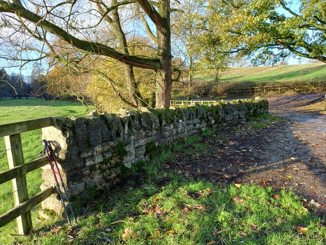
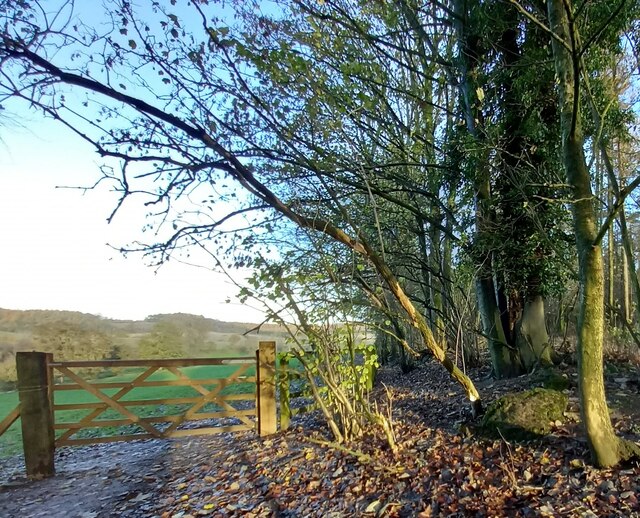
Coneybury Wood is a picturesque woodland located in the county of Yorkshire, England. Situated in the heart of the countryside, this enchanting forest spans an area of approximately 100 acres. With its diverse ecosystem and abundant wildlife, it is a haven for nature enthusiasts and a popular destination for outdoor activities.

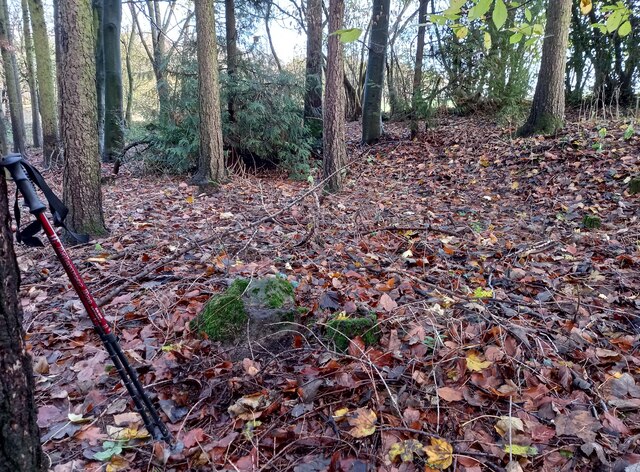
The wood is primarily composed of a mix of broadleaf and coniferous trees, including oak, beech, and pine. The dense canopy provides a rich habitat for a variety of flora and fauna, attracting a wide range of bird species, small mammals, and insects. The forest floor is adorned with a carpet of wildflowers, creating a vibrant and colorful setting during the spring and summer months.

Traversing through Coneybury Wood, visitors can explore a network of well-maintained trails that wind through the forest, offering breathtaking views and opportunities for peaceful walks and hikes. The wood is also home to a small stream that meanders through its heart, adding to the tranquility and charm of the surroundings.

In addition to its natural beauty, Coneybury Wood has a rich history. It has been documented as a designated ancient woodland, meaning it has existed for centuries and has remained relatively undisturbed by human activity. The wood has served as a source of timber and fuel throughout history and has played a role in the local community's livelihood.

Overall, Coneybury Wood is a gem of Yorkshire, offering visitors a chance to immerse themselves in the beauty of nature and experience the serenity of a woodland setting. Whether it's a leisurely stroll, birdwatching, or simply enjoying the peaceful ambiance, this forest is a must-visit destination for nature lovers and those seeking a tranquil escape.

If you have any feedback on the listing, please let us know in the comments section below.

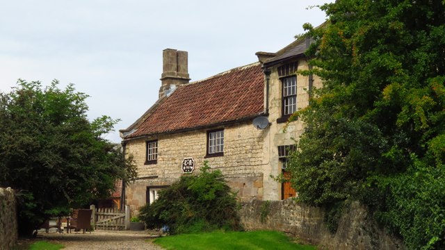
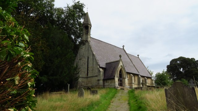
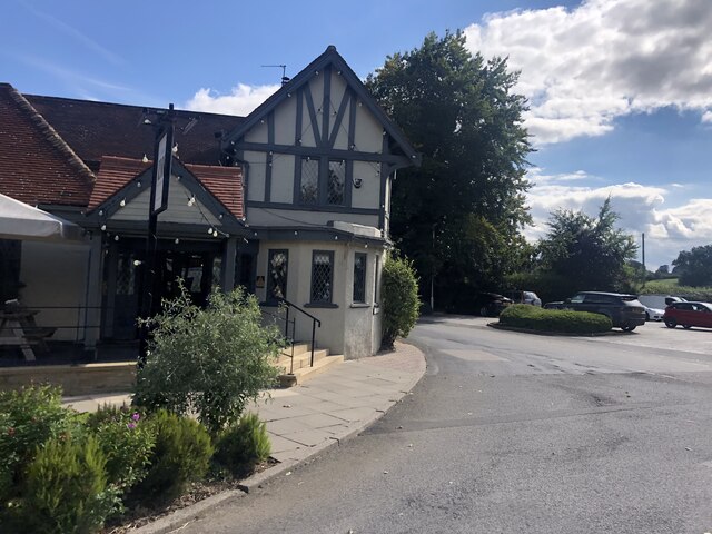
Coneybury Wood Images

Images are sourced within 2km of 54.05934/-1.5184648 or Grid Reference SE3162. Thanks to Geograph Open Source API. All images are credited.

South Stainley - Manor Farm
South Stainley - St Wilfrid's Church
Copgrove, Firlands Farm Firlands Farm is on the south side of the Burton Leonard/Farnham road. On the north facing gable end which is roadside, there is a benchmark cut into the lowest course of stone.
Copgrove, Firlands Farm
Firlands Farm is on the south side of the Burton Leonard/Farnham road. On the north facing gable end which is roadside, there is a benchmark cut into the lowest course of stone.
Copgrove, Firlands Farm A wider angle showing Firlands Farm on the south side of the Burton Leonard/Farnham road. On this north facing gable end, there is a benchmark cut into the lowest course of stone.
Copgrove, Firlands Farm
A wider angle showing Firlands Farm on the south side of the Burton Leonard/Farnham road. On this north facing gable end, there is a benchmark cut into the lowest course of stone.
Brearton, St John's church The benchmark is cut into a north-west face of the church.
Brearton, St John's church
The benchmark is cut into a north-west face of the church.
Brearton, St John's church There is a benchmark cut into the north-west face of the church.
Brearton, St John's church
There is a benchmark cut into the north-west face of the church.
The Inn, South Stainley Restaurant and accommodation, six miles south of Ripon
The Inn, South Stainley
Restaurant and accommodation, six miles south of Ripon
Brearton, Warren Lane According to the OS benchmark database there was a benchmark cut into a stone on the roadside wall on the north side of the lane. The wall has gone, and the cutmark has been destroyed.
Brearton, Warren Lane
According to the OS benchmark database there was a benchmark cut into a stone on the roadside wall on the north side of the lane. The wall has gone, and the cutmark has been destroyed.
Burton Leonard church The benchmark is cut into the east face of the church.
Burton Leonard church
The benchmark is cut into the east face of the church.
Burton Leonard church There is a benchmark cut into the east face of the church.
Burton Leonard church
There is a benchmark cut into the east face of the church.
Junction of lanes at Burton Leonard The wider lane to the left is Common Balk Lane and is a dead end for vehicles, whilst to the right is the rather curved Straight Lane which links into the road from Knaresborough to Bishop Monkton.
Junction of lanes at Burton Leonard
The wider lane to the left is Common Balk Lane and is a dead end for vehicles, whilst to the right is the rather curved Straight Lane which links into the road from Knaresborough to Bishop Monkton.
Burton Leonard church, from the NE A Victorian church that doesn't get more than 5 lines of description in the updated Pevsner guide. St Leonard's dates from 1877. This apparently replaced a medieval church, of which nothing remains.
Burton Leonard church, from the NE
A Victorian church that doesn't get more than 5 lines of description in the updated Pevsner guide. St Leonard's dates from 1877. This apparently replaced a medieval church, of which nothing remains.
South Stainley, cliff north of bridleway According to the OS benchmark database there is a benchmark cut into the cliff on the north side of the track. The surrounds is deep in fallen leaves and years of mulch, and it is difficult digging sufficiently deep to find any marks. Nothing was found.
South Stainley, cliff north of bridleway
According to the OS benchmark database there is a benchmark cut into the cliff on the north side of the track. The surrounds is deep in fallen leaves and years of mulch, and it is difficult digging sufficiently deep to find any marks. Nothing was found.
South Stainley, track and bridge According to the OS benchmark database there is a benchmark on the track side wall on the west side of the track. Both the bridge and the wall have been renewed and reshaped over the recent years. The wall where the benchmark was has gone.
South Stainley, track and bridge
According to the OS benchmark database there is a benchmark on the track side wall on the west side of the track. Both the bridge and the wall have been renewed and reshaped over the recent years. The wall where the benchmark was has gone.
South Stainley, old track to Stainley Mill According to the OS benchmark database there is a rivet benchmark cut into a rock on the west of the old track. Only 1 rock found and despite trying to clear the moss no cutmark was found.
South Stainley, old track to Stainley Mill
According to the OS benchmark database there is a rivet benchmark cut into a rock on the west of the old track. Only 1 rock found and despite trying to clear the moss no cutmark was found.
South Stainley, old track to Stainley Mill The pivot benchmark is cut into a rock within a wooded area to the north of the old track. The area is known as Luptons Bank.
South Stainley, old track to Stainley Mill
The pivot benchmark is cut into a rock within a wooded area to the north of the old track. The area is known as Luptons Bank.
South Stainley, Luptons Bank There is a pivot benchmark cut into the rock within the wooded area to the north of the old track and known as Luptons Bank.
South Stainley, Luptons Bank
There is a pivot benchmark cut into the rock within the wooded area to the north of the old track and known as Luptons Bank.
St. John the Baptist Church, Brearton
Show me another place!

Coneybury Wood is located at Grid Ref: SE3162 (Lat: 54.05934, Lng: -1.5184648)

Division: West Riding

Administrative County: North Yorkshire

District: Harrogate

Police Authority: North Yorkshire

What 3 Words

///whiplash.toddler.freed. Near Knaresborough, North Yorkshire

Related Wikis

South Stainley

South Stainley is a small village in the Harrogate District, in the county of North Yorkshire, England. Nearby settlements include the city of Ripon, the...

Burton Leonard

Burton Leonard is a village and civil parish in the Harrogate district of North Yorkshire, England, and approximately 7 miles (11 km) south from Ripon...

Brearton

Brearton is a village and civil parish in the Harrogate borough of North Yorkshire, England, situated about 3 miles (4.8 km) north of Knaresborough. The...

Nidd Hall

Nidd Hall was a 19th-century country house, now a hotel, in the village of Nidd, North Yorkshire, England. It is a Grade II listed building. It is constructed...

Wormald Green railway station

Wormald Green railway station served the village of Wormald Green, Harrogate, England from 1848 to 1964 on the Leeds-Northallerton Railway. == History... ==

Wormald Green

Wormald Green is a village in the civil parish of Markington with Wallerthwaite in the district of Harrogate, North Yorkshire, England. In 2016, Harrogate...

Nidd

Nidd is a small village and civil parish in the Harrogate district of North Yorkshire, England. The population of the village taken at the 2011 census...

Farnham Mires

Farnham Mires is a Site of Special Scientific Interest, or SSSI, to the east of the village of Farnham, North Yorkshire, England. It consists of a spring...

Nearby Amenities

Located within 500m of 54.05934,-1.5184648
The data included in this document is from www.openstreetmap.org. The data is made available under ODbL.

Have you been to Coneybury Wood?

Leave your review of Coneybury Wood below (or comments, questions and feedback).