Biddick Woods
Wood, Forest in Durham
England
Biddick Woods

Biddick Woods is a charming woodland located in County Durham, England. Spanning over 100 acres, this ancient forest is nestled within the village of Biddick, near the town of Washington. The woods are a popular destination for nature enthusiasts, walkers, and families seeking a serene outdoor experience.
The woodland is primarily composed of broadleaf trees, including oak, ash, hazel, and birch, which create a dense canopy and provide a haven for a variety of wildlife. The forest floor is adorned with carpets of bluebells in the spring, adding a splash of color to the surroundings.
A network of well-maintained footpaths winds through the woods, allowing visitors to explore the area at their own pace. These paths meander through the ancient trees, providing opportunities to spot a diverse range of fauna, such as woodpeckers, treecreepers, and squirrels. Along the way, there are several benches and picnic spots, inviting visitors to pause and appreciate the tranquility of the forest.
Biddick Woods also holds historical significance. It is said to have been in existence since medieval times, and remnants of old boundaries and ditches can still be found within the woodland. The area is also associated with local legends and folklore, adding an air of mystery to the woods.
Overall, Biddick Woods is a beautiful and enchanting forest in Durham, offering a peaceful retreat from the hustle and bustle of everyday life. With its diverse flora and fauna, picturesque footpaths, and rich history, it is a must-visit destination for those seeking a connection with nature.
If you have any feedback on the listing, please let us know in the comments section below.
Biddick Woods Images
Images are sourced within 2km of 54.868354/-1.5094381 or Grid Reference NZ3152. Thanks to Geograph Open Source API. All images are credited.


Biddick Woods is located at Grid Ref: NZ3152 (Lat: 54.868354, Lng: -1.5094381)
Unitary Authority: County Durham
Police Authority: Durham
What 3 Words
///idea.pirate.zealous. Near Washington, Tyne & Wear
Nearby Locations
Related Wikis
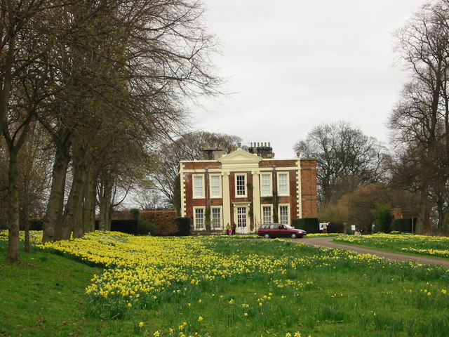
Biddick Hall (house)
Biddick Hall is a small privately owned 18th-century country mansion at Bournmoor, County Durham, near the City of Sunderland and Chester-le-Street. It...

Penshaw railway station
Penshaw railway station served the village of Penshaw, Tyne and Wear, England from 1840 to 1964 on the Leamside line. == History == The first Penshaw station...

Shiney Row
Shiney Row is a village in Houghton-le-Spring, Tyne and Wear, England. One of the most notable people who was born in Shiney Row is Sir George Elliot,...
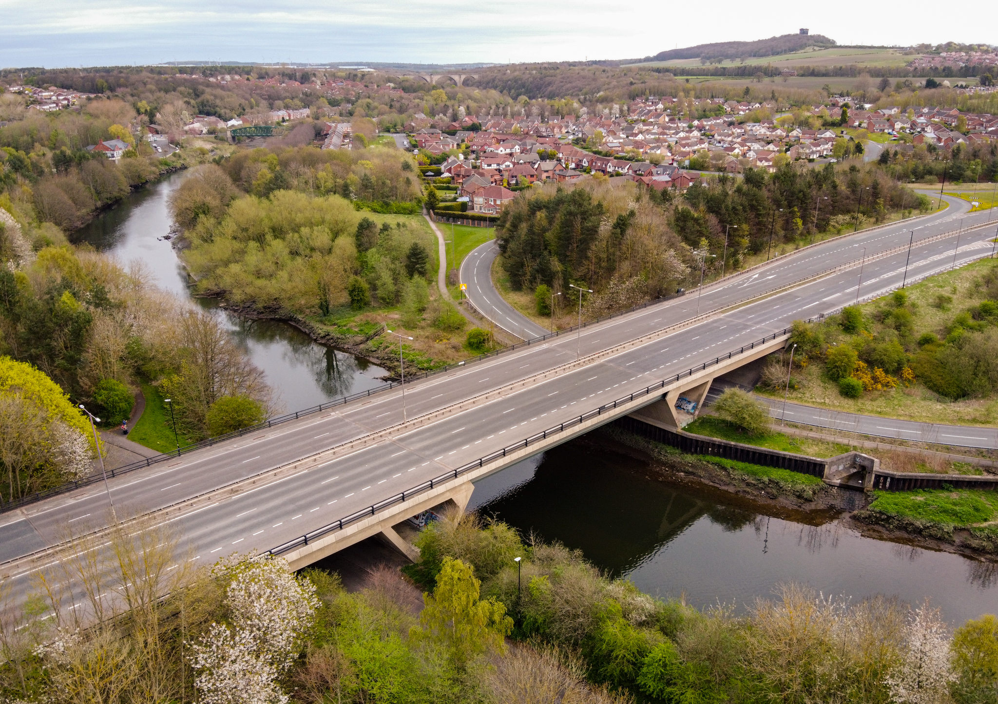
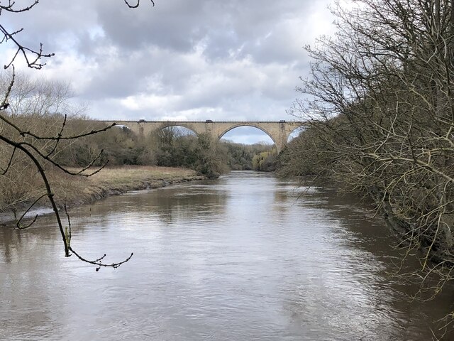
Chartershaugh Bridge
Chartershaugh Bridge is a road traffic bridge spanning the River Wear in North East England, linking Penshaw with Fatfield as part of the A182 road. The...

New Lambton, County Durham
New Lambton is a village in County Durham, England, although the postal address is Tyne and Wear. It lies between the villages of Bournmoor and Fencehouses...

Bournmoor
Bournmoor ( or ) is a village in County Durham, England, and is situated a short distance from Chester-le-Street. It contains St Barnabas' Church, which...
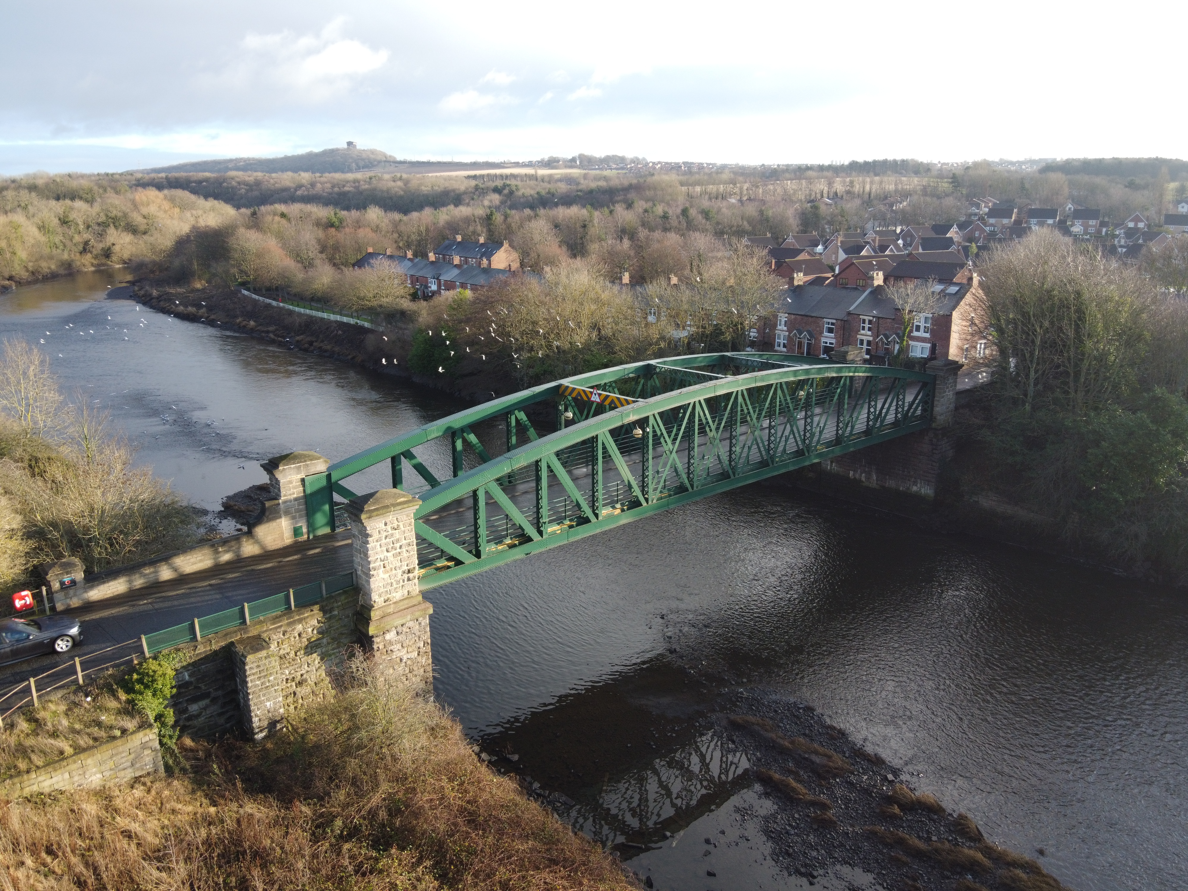
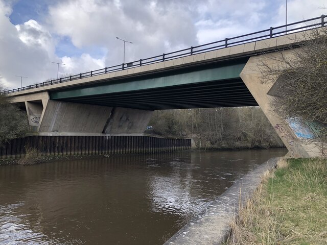
Penshaw Bridge
Penshaw Bridge, also known as Fatfield Bridge, is a road traffic bridge spanning the River Wear in North East England, linking Penshaw with Fatfield. The...

Lambton Castle
Lambton Castle stands above Chester-le-Street, County Durham and is a stately home, the ancestral seat of the Lambton family, the Earls of Durham. It is...
Nearby Amenities
Located within 500m of 54.868354,-1.5094381Have you been to Biddick Woods?
Leave your review of Biddick Woods below (or comments, questions and feedback).