Arrowe Hill
Settlement in Cheshire
England
Arrowe Hill
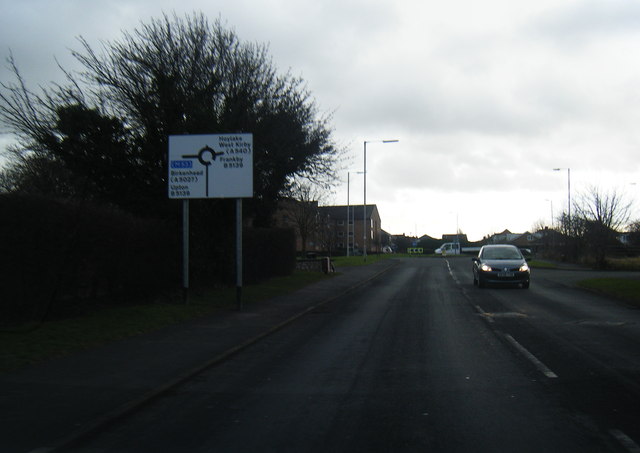
Arrowe Hill is a small residential area located in the county of Cheshire, England. Situated just east of the town of Bebington, it is part of the larger Wirral Peninsula. Nestled between the villages of Noctorum and Woodchurch, Arrowe Hill offers a peaceful and picturesque setting for residents.
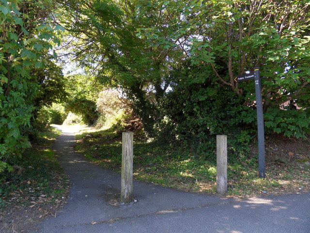
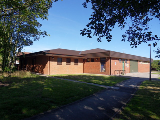
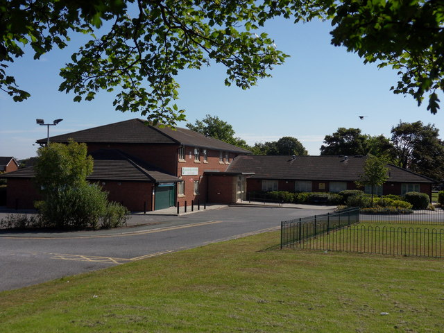
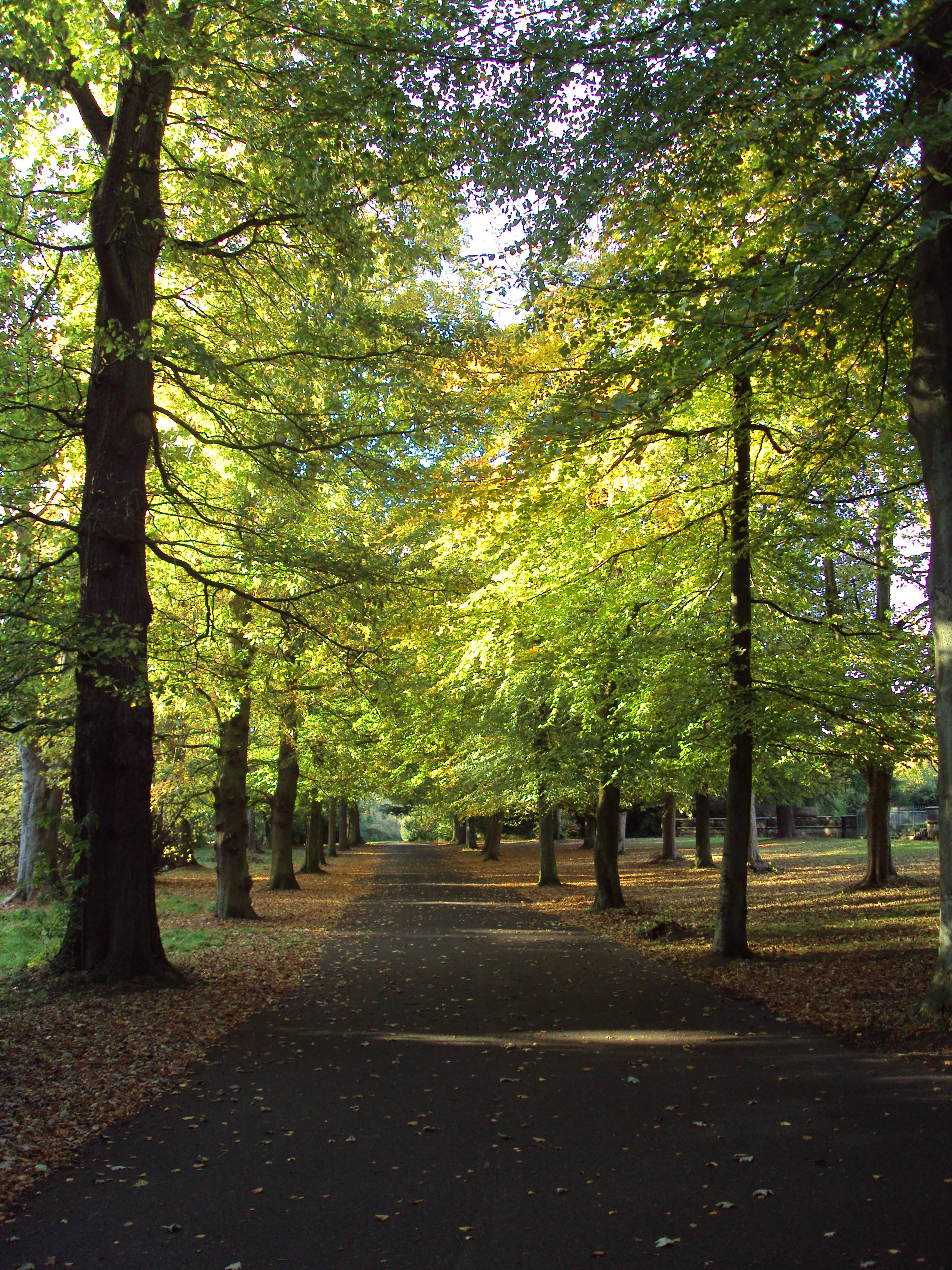
The area is known for its abundance of green spaces and natural beauty. Arrowe Park, a large public park, is a prominent feature of the area. This expansive parkland offers a variety of recreational activities including walking trails, cycling routes, and open spaces for picnics and sports. It is also home to Arrowe Park Hospital, a major healthcare facility serving the region.
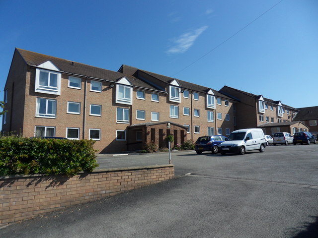
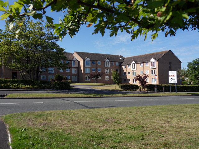
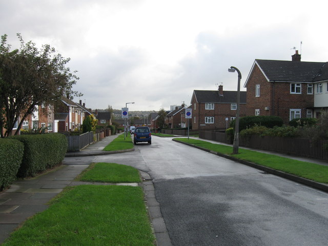
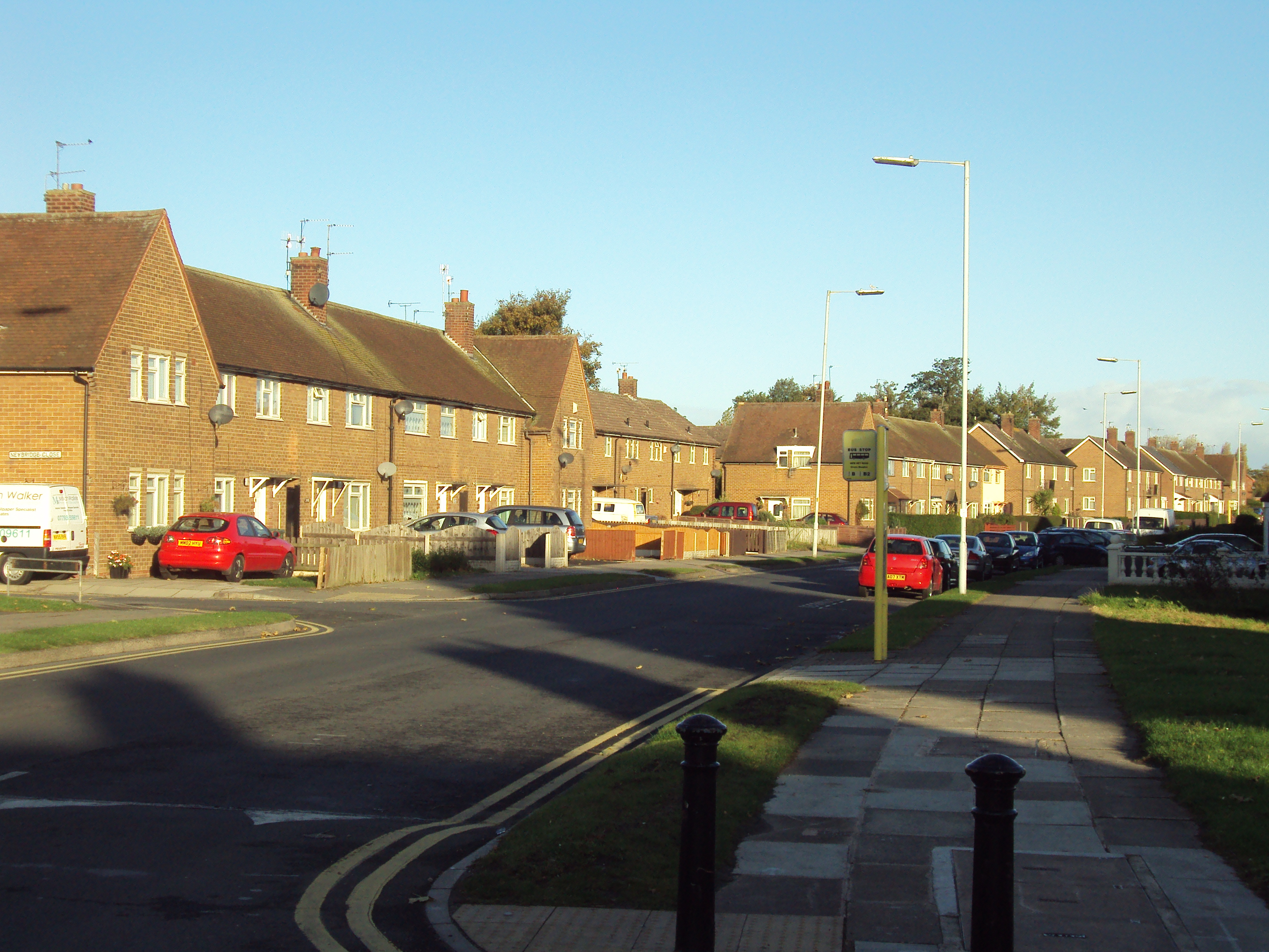
Housing in Arrowe Hill consists mainly of traditional detached and semi-detached houses, offering a mix of architectural styles. The area attracts a diverse mix of residents, including families, professionals, and retirees, drawn to its tranquil atmosphere and convenient location.
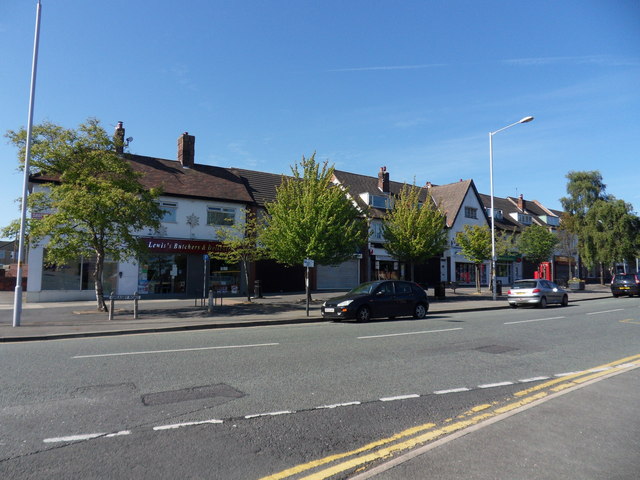
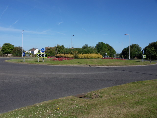
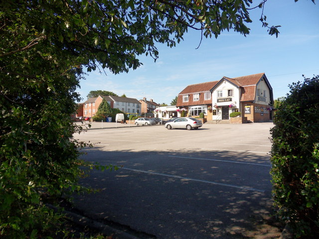
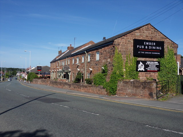
Local amenities in Arrowe Hill are plentiful, with a range of shops, cafes, and restaurants located nearby in Bebington and the surrounding villages. The area is also well-served by public transportation, with regular bus services connecting residents to nearby towns and cities.
Overall, Arrowe Hill in Cheshire offers a desirable residential location with its attractive green spaces, convenient amenities, and easy access to surrounding areas. Its peaceful ambiance and natural beauty make it a sought-after place to live for those seeking a tranquil and picturesque setting.
If you have any feedback on the listing, please let us know in the comments section below.
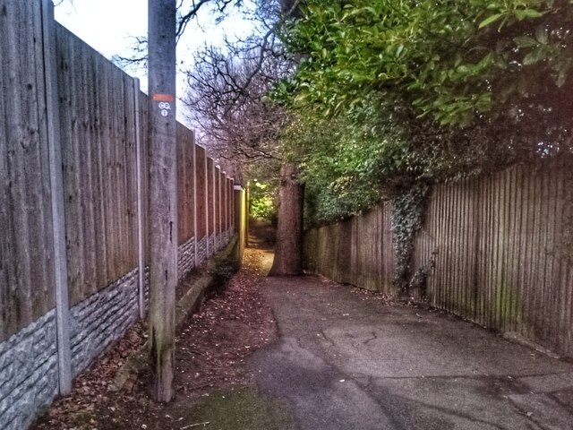
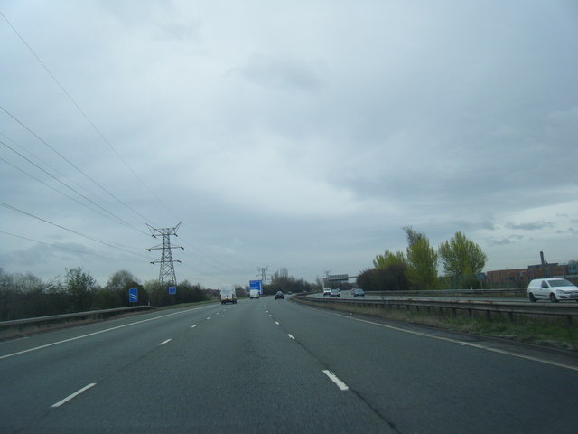
Arrowe Hill Images
Images are sourced within 2km of 53.375683/-3.098789 or Grid Reference SJ2787. Thanks to Geograph Open Source API. All images are credited.


Arrowe Hill is located at Grid Ref: SJ2787 (Lat: 53.375683, Lng: -3.098789)
Unitary Authority: Wirral
Police Authority: Merseyside
What 3 Words
///crowned.fumes.points. Near Greasby, Merseyside
Nearby Locations
Related Wikis
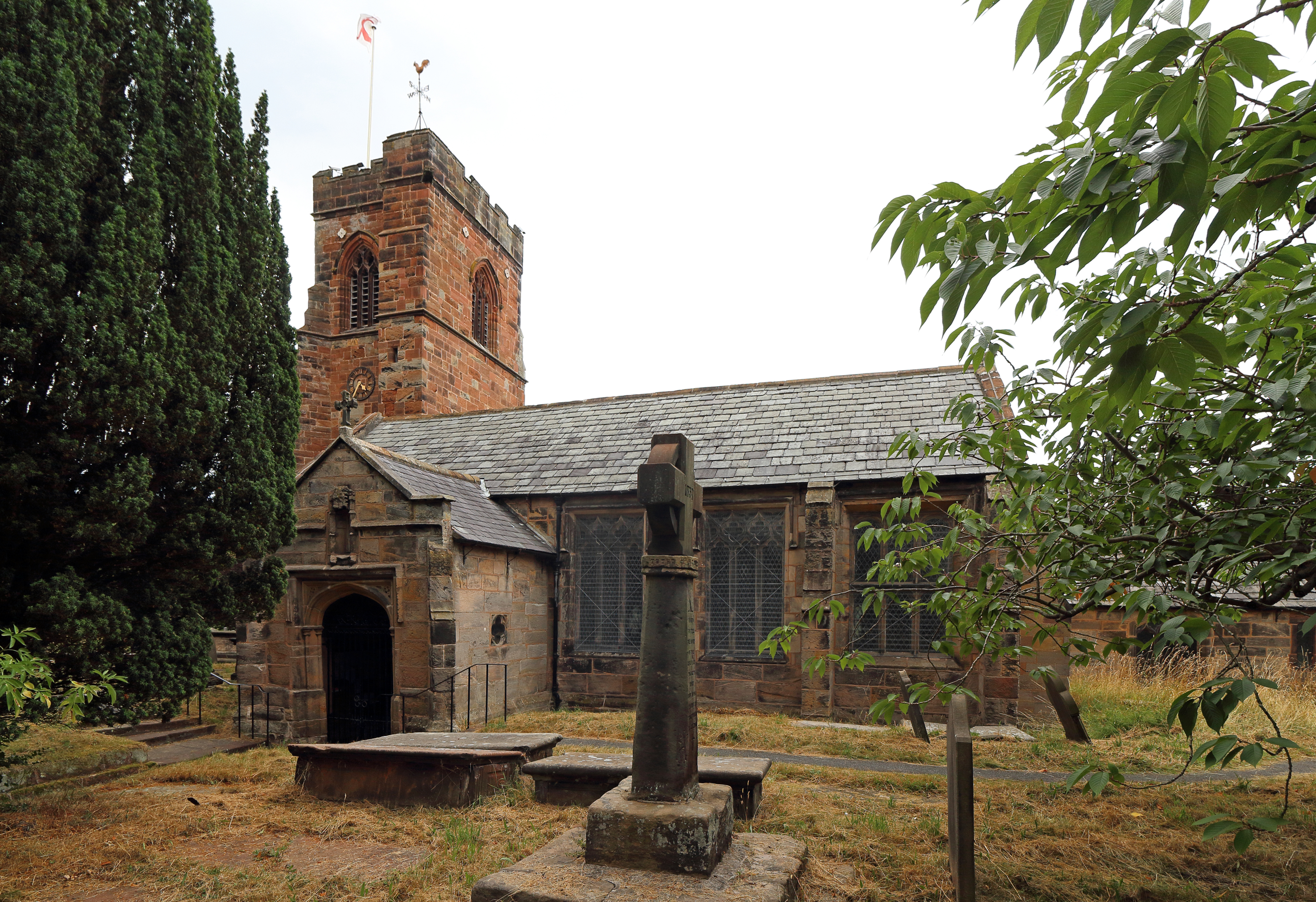
Holy Cross Church, Woodchurch
Holy Cross Church is in Woodchurch, an area of Birkenhead, Wirral, Merseyside, England. It is an active Anglican parish church in the diocese of Chester...
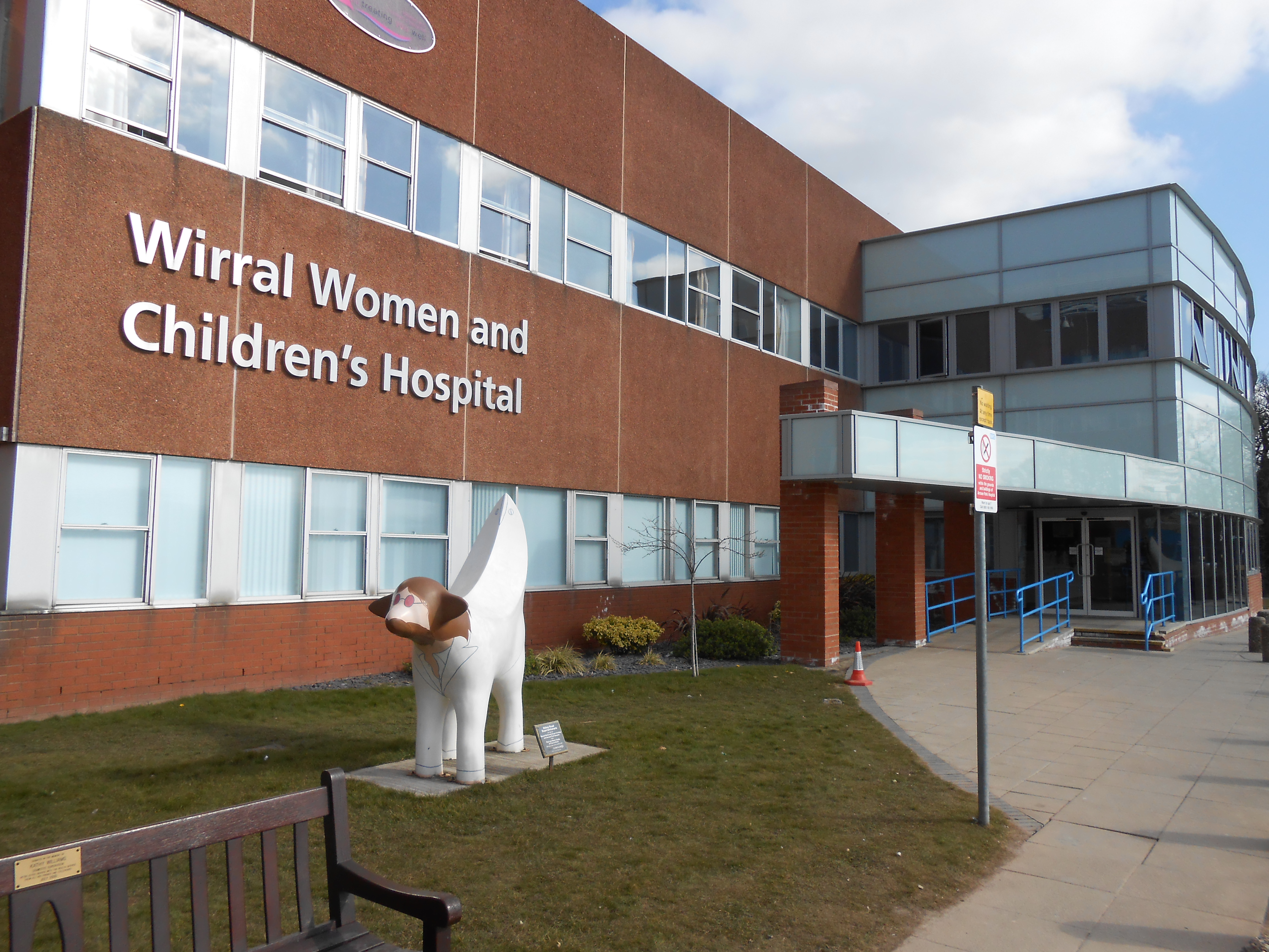
Wirral Women and Children's Hospital
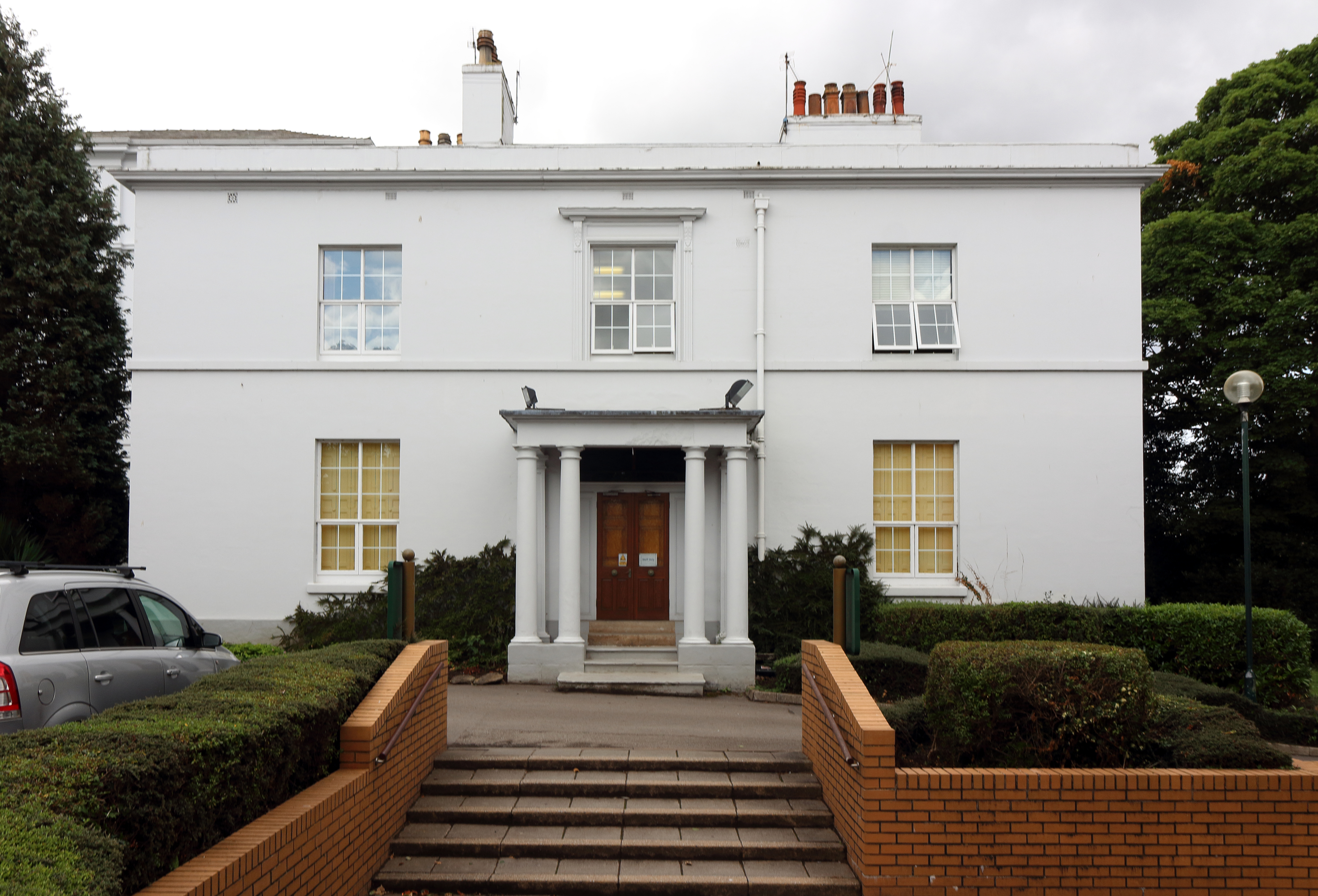
Wirral Women and Children's Hospital is located on the Arrowe Park Hospital campus, in Upton, Wirral, Merseyside and was founded following a redevelopment...
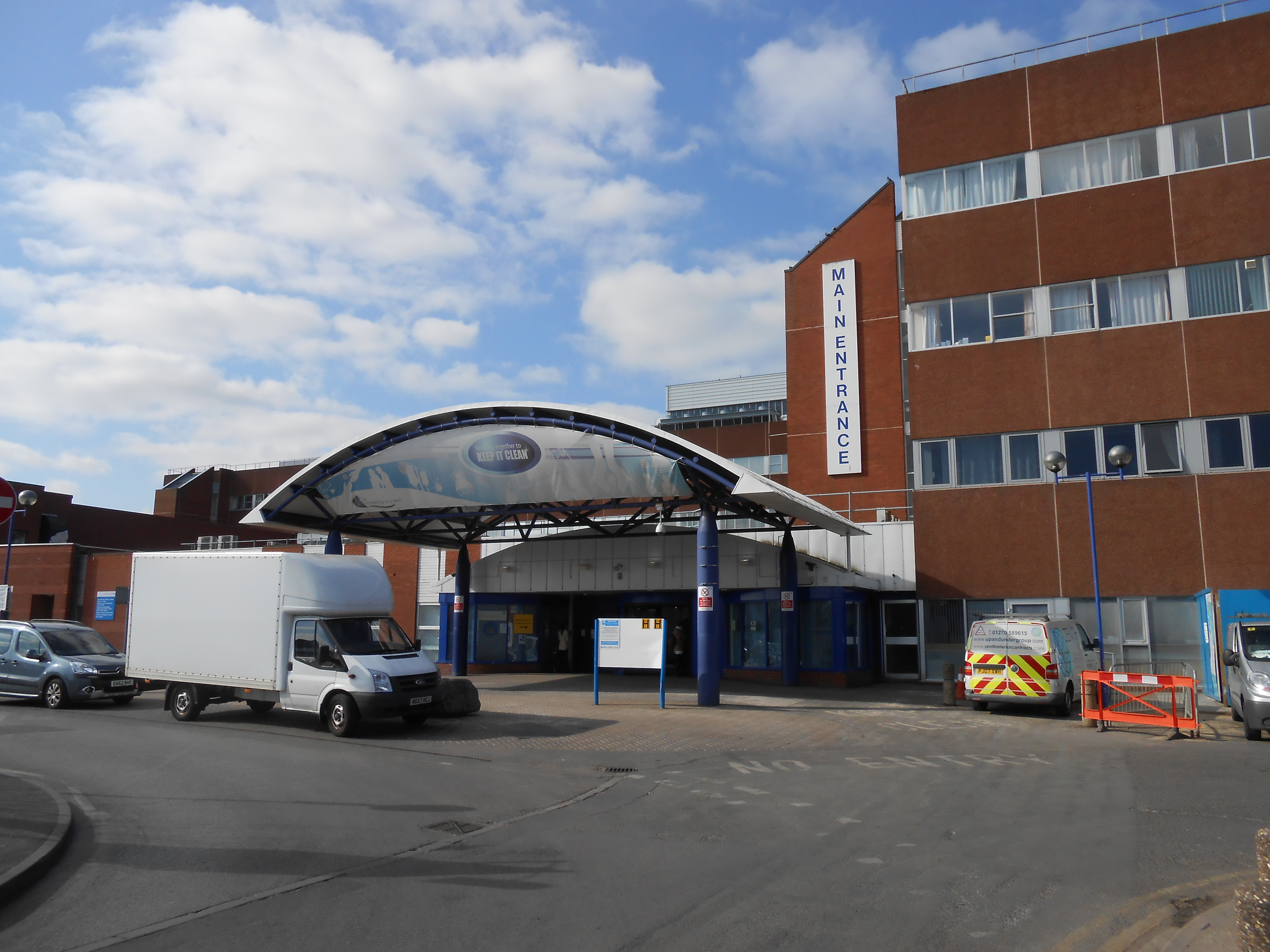
Arrowe Park Hospital
Arrowe Park Hospital is a large, acute hospital, located on a 15-acre (6.1 ha) section of Arrowe Park, close to the village of Upton, Wirral, Merseyside...
Arrowe Country Park
Arrowe Country Park is a country park in Woodchurch, Wirral, England. The estate upon which the park lies was founded and shaped by John Shaw, a former...
Woodchurch, Merseyside
Woodchurch is an area of Birkenhead on the Wirral Peninsula, in England. Administratively, Woodchurch is within the Metropolitan Borough of Wirral, its...

Upton, Merseyside
Upton is a village in the northern part of the Wirral Peninsula, England, and is situated within 4 miles (6.4 km) of Birkenhead, 4 miles (6.4 km) of the...

Upton Hall School FCJ
Upton Hall School FCJ is a Catholic girls' grammar school with academy status located in Merseyside, England. It was founded in 1849 by the Faithful Companions...
Upton Hall, Merseyside
Upton Hall is a large manor house on the peninsula known as the Wirral, in the village of Upton in Merseyside, England (historically, the hall was in the...
Nearby Amenities
Located within 500m of 53.375683,-3.098789Have you been to Arrowe Hill?
Leave your review of Arrowe Hill below (or comments, questions and feedback).