Baldwin's Copse

Wood, Forest in Hampshire Test Valley

England

Baldwin's Copse

Old Milestone by the A27, east of Glebe Farm, Sherfield English parish Stone post (plate lost) by the A27, in parish of SHERFIELD ENGLISH (TEST VALLEY District), East of Glebe Farm, junction with Branches Lane, on the verge, on North side of road. Romsey tombstone marker, erected by the Whiteparish, Romsey & Southampton turnpike trust in the 19th century.

Part inscription reads:-
MILES TO
ROMSEY
Original Inscription once read:-
(Salisbury)
(11)
(Romsey)
(4)

Milestone Society National ID: HA_ROSA04.
Old Milestone by the A27, east of Glebe Farm, Sherfield English parish Credit: Gail Fawcett

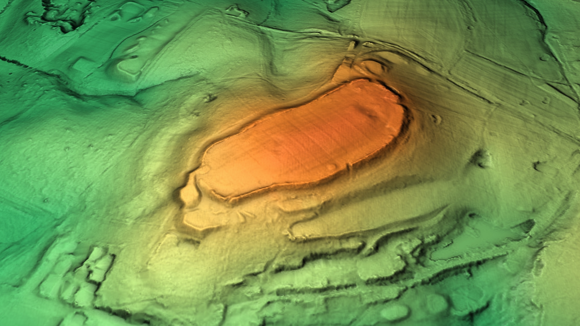
Baldwin's Copse is a picturesque wood located in Hampshire, England. Situated near the village of Baldwin's Gate, it covers an area of approximately 100 acres and is a haven for nature enthusiasts and outdoor enthusiasts alike. The copse is characterized by its dense woodland, towering trees, and diverse flora and fauna.

The forest is comprised mainly of deciduous trees such as oak, beech, and ash, which create a vibrant canopy during the summer months. These trees provide a habitat for a variety of wildlife, including deer, foxes, badgers, and numerous bird species. Birdwatchers can spot beautiful species such as woodpeckers, owls, and songbirds throughout the year.

A network of well-maintained footpaths and trails meander through Baldwin's Copse, allowing visitors to explore its natural beauty. These paths offer opportunities for hiking, walking, and jogging, and are suitable for all fitness levels. The wood is also a popular spot for picnics, with several designated areas equipped with benches and tables.

Baldwin's Copse is not only a sanctuary for wildlife but also serves as an important recreational space for the local community. The forest is regularly visited by families, dog walkers, and outdoor enthusiasts who appreciate its tranquil ambiance and natural beauty.

Overall, Baldwin's Copse is a cherished woodland in Hampshire, providing a peaceful retreat from the hustle and bustle of daily life. Its diverse ecosystem, well-maintained trails, and abundant wildlife make it a must-visit destination for nature lovers and those seeking a connection with the great outdoors.

If you have any feedback on the listing, please let us know in the comments section below.

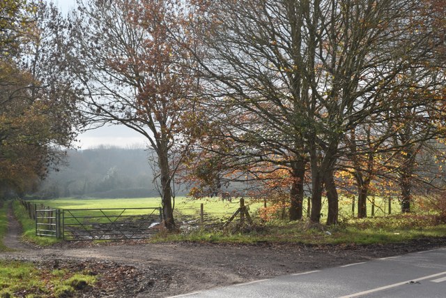
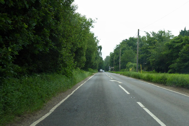
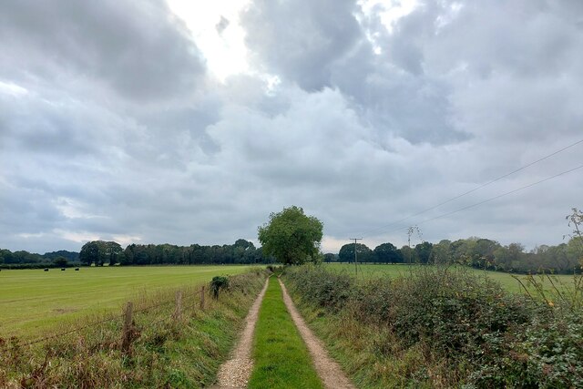
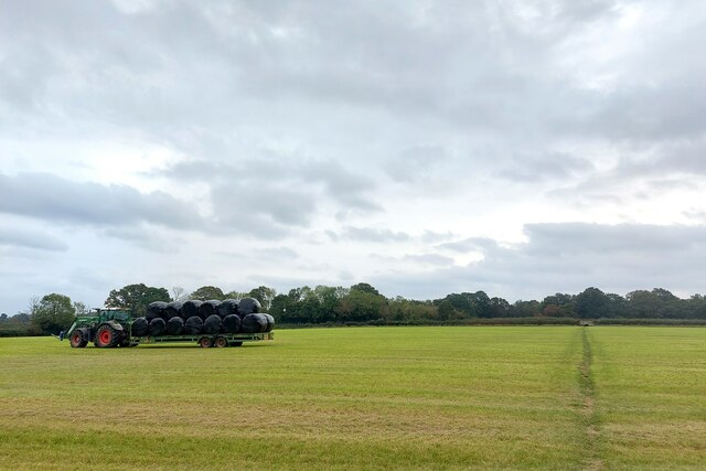
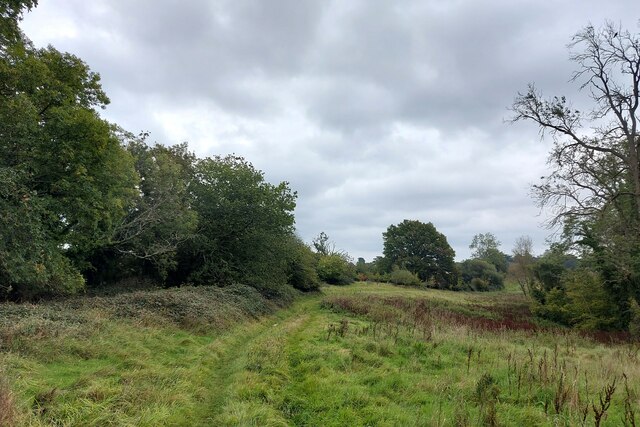
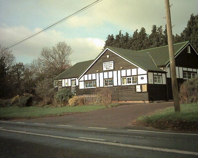
Baldwin's Copse Images

Images are sourced within 2km of 51.001877/-1.5519144 or Grid Reference SU3122. Thanks to Geograph Open Source API. All images are credited.

Old Milestone by the A27, east of Glebe Farm, Sherfield English parish Stone post (plate lost) by the A27, in parish of SHERFIELD ENGLISH (TEST VALLEY District), East of Glebe Farm, junction with Branches Lane, on the verge, on North side of road. Romsey tombstone marker, erected by the Whiteparish, Romsey & Southampton turnpike trust in the 19th century.

Part inscription reads:-
MILES TO
ROMSEY
Original Inscription once read:-
(Salisbury)
(11)
(Romsey)
(4)

Milestone Society National ID: HA_ROSA04.
Old Milestone by the A27, east of Glebe Farm, Sherfield English parish
Stone post (plate lost) by the A27, in parish of SHERFIELD ENGLISH (TEST VALLEY District), East of Glebe Farm, junction with Branches Lane, on the verge, on North side of road. Romsey tombstone marker, erected by the Whiteparish, Romsey & Southampton turnpike trust in the 19th century. Part inscription reads:- MILES TO ROMSEY Original Inscription once read:- (Salisbury) (11) (Romsey) (4) Milestone Society National ID: HA_ROSA04.
Gilbert's Nursery and Tea Room
Beside the A27 at Sherfield English
Sherfield English Village Hall
Patch of sunlight on a misty day at Sherfield English This is the field just across the A27 from <a href="https://www.geograph.org.uk/photo/7662780">SU2922 : Sherfield English Village Hall</a>.
Patch of sunlight on a misty day at Sherfield English
This is the field just across the A27 from SU2922 : Sherfield English Village Hall.
Yellow and blue tractor detail
A27 towards Salisbury Some way past the sign announcing Sherfield English, so far a diffuse settlement.
A27 towards Salisbury
Some way past the sign announcing Sherfield English, so far a diffuse settlement.
Old Milestone by the A27, east of Glebe Farm, Sherfield English parish Stone post (plate lost) by the A27, in parish of SHERFIELD ENGLISH (TEST VALLEY District), East of Glebe Farm, junction with Branches Lane, on the verge, on North side of road. Romsey tombstone marker, erected by the Whiteparish, Romsey & Southampton turnpike trust in the 19th century. 

Part inscription reads:-
MILES TO
ROMSEY
Original Inscription once read:-
(Salisbury)
(11)
(Romsey)
(4)

Milestone Society National ID: HA_ROSA04.
Old Milestone by the A27, east of Glebe Farm, Sherfield English parish
Stone post (plate lost) by the A27, in parish of SHERFIELD ENGLISH (TEST VALLEY District), East of Glebe Farm, junction with Branches Lane, on the verge, on North side of road. Romsey tombstone marker, erected by the Whiteparish, Romsey & Southampton turnpike trust in the 19th century. Part inscription reads:- MILES TO ROMSEY Original Inscription once read:- (Salisbury) (11) (Romsey) (4) Milestone Society National ID: HA_ROSA04.
Track south-west from Hilberry Farm The Test Way is a 44 mile path running  from the chalk downs of Inkpen Hill in West Berkshire, south to Eling Wharf near the head of Southampton Water. Most of the route follows the valley of the River Test, one of the country's finest chalk rivers. <span class="nowrap"><a title="https://www.hants.gov.uk/thingstodo/countryside/walking/testway" rel="nofollow ugc noopener" href="https://www.hants.gov.uk/thingstodo/countryside/walking/testway">Link</a><img style="margin-left:2px;" alt="External link" title="External link - shift click to open in new window" src="https://s1.geograph.org.uk/img/external.png" width="10" height="10"/></span>
Track south-west from Hilberry Farm
The Test Way is a 44 mile path running from the chalk downs of Inkpen Hill in West Berkshire, south to Eling Wharf near the head of Southampton Water. Most of the route follows the valley of the River Test, one of the country's finest chalk rivers. LinkExternal link
Haylage transport The small section of the Test way through this field is not marked as right of way on the OS map.
Haylage transport
The small section of the Test way through this field is not marked as right of way on the OS map.
The Test Way entering the north side of Squabb Wood A squab (one 'b') is a domesticated pigeon.
The Test Way entering the north side of Squabb Wood
A squab (one 'b') is a domesticated pigeon.
Sherfield English Village Hall Situated on the A27 between Romsey & Whiteparish
Sherfield English Village Hall
Situated on the A27 between Romsey & Whiteparish
Caravan and Camp site Hill Farm caravan site. A good location for visits to Salisbury, Romsey and the New Forest.
Caravan and Camp site
Hill Farm caravan site. A good location for visits to Salisbury, Romsey and the New Forest.
Gas pipeline works alongside power lines This is the reinstatement stage following construction of the Lockerley to Marchwood gas pipeline.  It here runs between the lane and the power lines.
Gas pipeline works alongside power lines
This is the reinstatement stage following construction of the Lockerley to Marchwood gas pipeline. It here runs between the lane and the power lines.
Milestone, Sherfield English The milestone is beside the A27, Romsey Road.  It is missing its mileage plate.
Milestone, Sherfield English
The milestone is beside the A27, Romsey Road. It is missing its mileage plate.
Junction of Doctor's Hill with Branches Lane, Newtown
Looking S along Branches Lane from Junction with Doctor's Hill
Doctor's Hill from Branches Lane, Newtown
Show me another place!

Baldwin's Copse is located at Grid Ref: SU3122 (Lat: 51.001877, Lng: -1.5519144)

Administrative County: Hampshire

District: Test Valley

Police Authority: Hampshire

What 3 Words

///presenter.rods.supposing. Near Romsey, Hampshire

Related Wikis

Nearby Amenities

Located within 500m of 51.001877,-1.5519144
Bus Stop
Dunwood Manor
Bus: yes
Naptan AtcoCode: 1900HA100132
Naptan Bearing: SE
Naptan CommonName: Dunwood Manor
Naptan NaptanCode: hamajmwt
Naptan Street: A27 Salisbury Road
Naptan Verified: no
Public Transport: platform
Source: naptan_import
Lat/Long: 51.0020592/-1.5563691
Bus Stop
Dunwood Manor
Bus: yes
Naptan AtcoCode: 1900HA100133
Naptan Bearing: NW
Naptan CommonName: Dunwood Manor
Naptan NaptanCode: hamajmwp
Naptan Street: A27 Salisbury Road
Naptan Verified: no
Public Transport: platform
Source: naptan_import
Lat/Long: 51.0020326/-1.5564691
Baldwin's Copse
Place: locality
Lat/Long: 51.0018534/-1.5514054
Power: pole
Lat/Long: 50.9977964/-1.5542237
Power: pole
Lat/Long: 50.9982383/-1.5548812
Power: pole
Lat/Long: 50.9988026/-1.5556839
Power: pole
Lat/Long: 50.9993082/-1.5563383
Power: pole
Lat/Long: 50.9999614/-1.555693
Power: pole
Lat/Long: 51.0004998/-1.5550102
Power: pole
Lat/Long: 51.0009474/-1.5547012
Power: pole
Lat/Long: 51.0013667/-1.5543884
Dunwood Hill
Place: hamlet
Lat/Long: 50.9999506/-1.5533393
The data included in this document is from www.openstreetmap.org. The data is made available under ODbL.

Have you been to Baldwin's Copse?

Leave your review of Baldwin's Copse below (or comments, questions and feedback).