Biddick Gill Wood
Wood, Forest in Durham
England
Biddick Gill Wood
Biddick Gill Wood is a picturesque woodland area located in Durham, England. Covering an area of approximately 40 hectares, this tranquil forest is a popular destination for nature enthusiasts and those seeking a peaceful retreat from the hustle and bustle of city life.
The wood is situated near the village of Biddick, just a few miles southwest of the city of Durham. It is easily accessible by road and offers ample parking facilities for visitors. The wood is also well-served by public transportation, with regular bus services passing nearby.
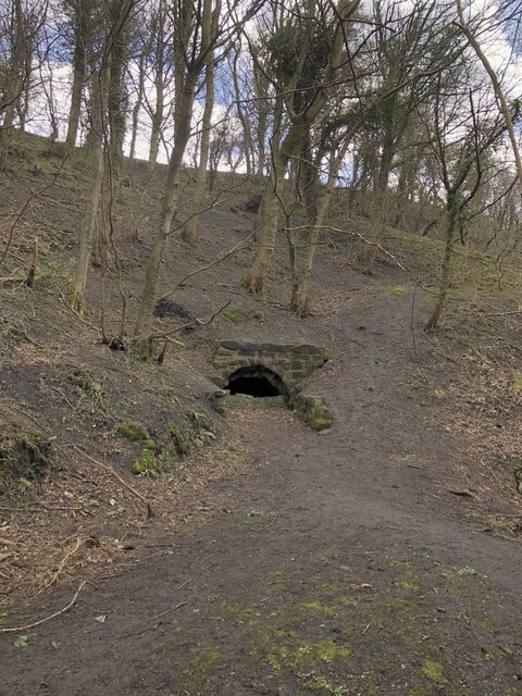
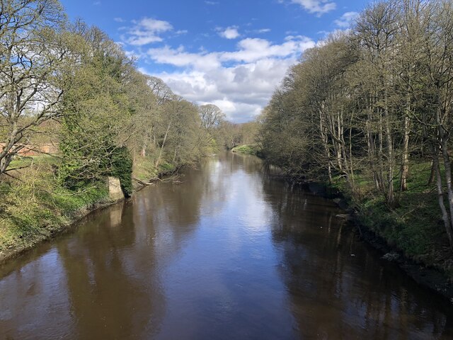
Biddick Gill Wood is characterized by its diverse range of trees, including oak, beech, ash, and birch. The wood is particularly renowned for its bluebell displays in the springtime, attracting visitors from far and wide to witness the stunning carpet of vibrant blue flowers.
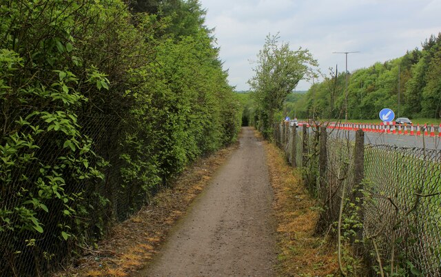
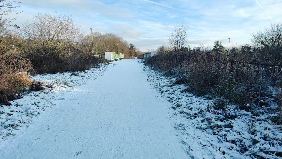
The wood is crisscrossed by a network of well-maintained footpaths and trails, making it an ideal location for walking, hiking, and exploring. These paths wind their way through the forest, allowing visitors to discover the wood's hidden gems, such as a charming stream and a small waterfall.
The wood is also home to a rich variety of wildlife, including squirrels, birds, and several species of insects. Birdwatchers will be delighted by the opportunity to spot woodpeckers, nuthatches, and other feathered creatures in their natural habitat.
Overall, Biddick Gill Wood offers a tranquil escape into nature, providing a welcome respite for those looking to reconnect with the great outdoors. Whether it's a leisurely stroll, a family picnic, or simply enjoying the serenity of the woodland, this picturesque forest has something to offer for everyone.
If you have any feedback on the listing, please let us know in the comments section below.
Biddick Gill Wood Images
Images are sourced within 2km of 54.87364/-1.5121322 or Grid Reference NZ3153. Thanks to Geograph Open Source API. All images are credited.


Biddick Gill Wood is located at Grid Ref: NZ3153 (Lat: 54.87364, Lng: -1.5121322)
Unitary Authority: County Durham
Police Authority: Durham
What 3 Words
///tame.list.grass. Near Washington, Tyne & Wear
Nearby Locations
Related Wikis
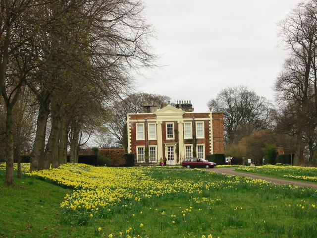
Biddick Hall (house)
Biddick Hall is a small privately owned 18th-century country mansion at Bournmoor, County Durham, near the City of Sunderland and Chester-le-Street. It...
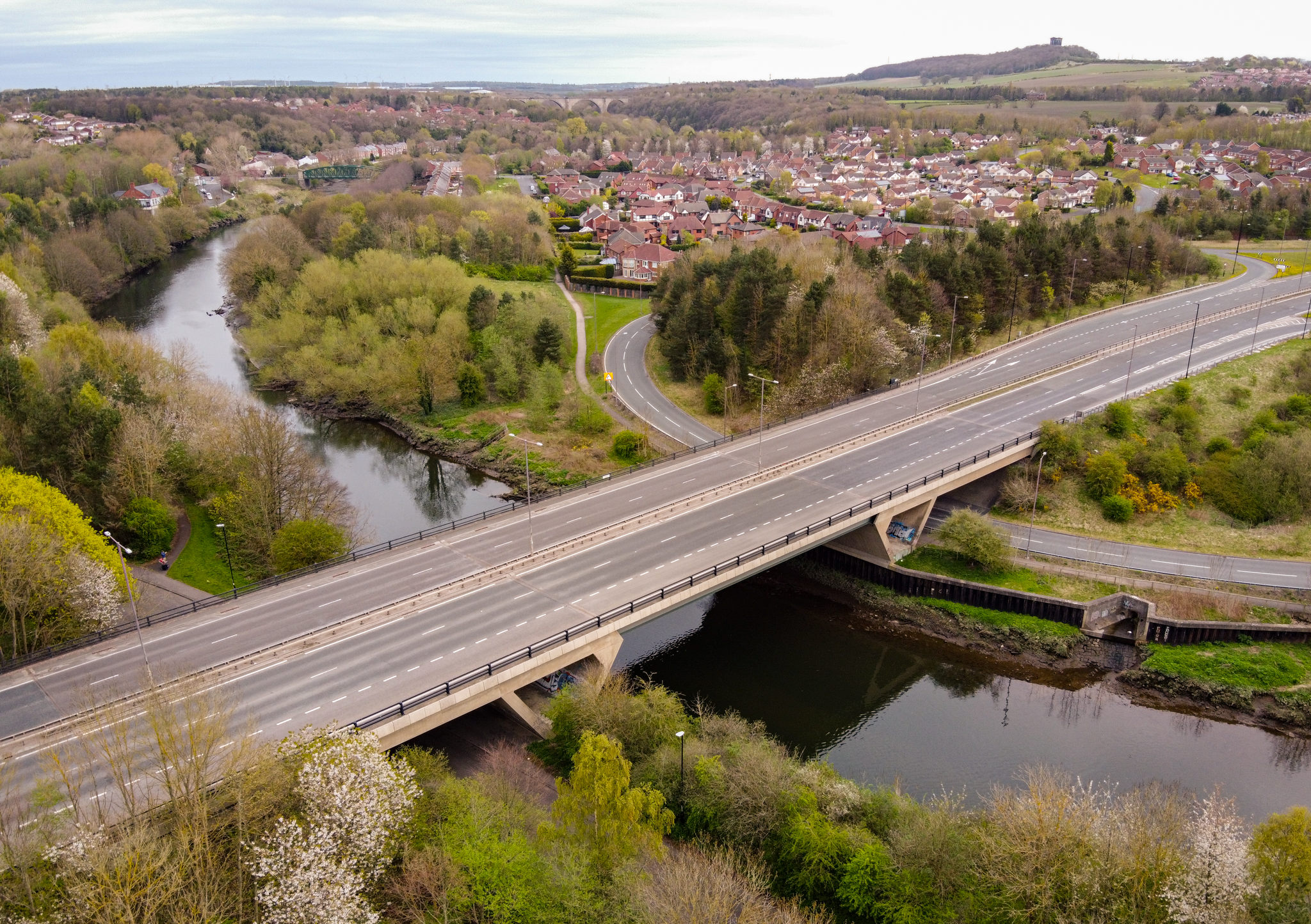
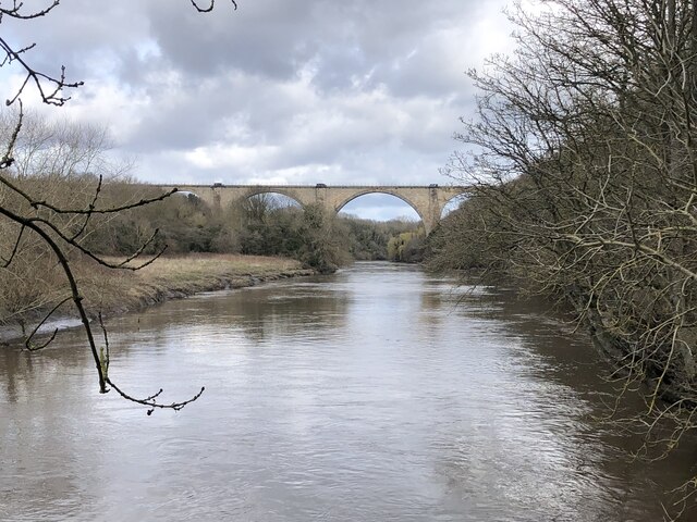
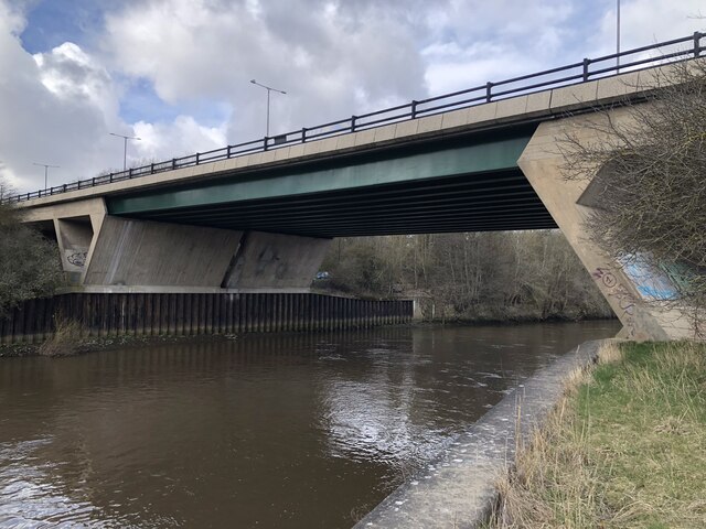
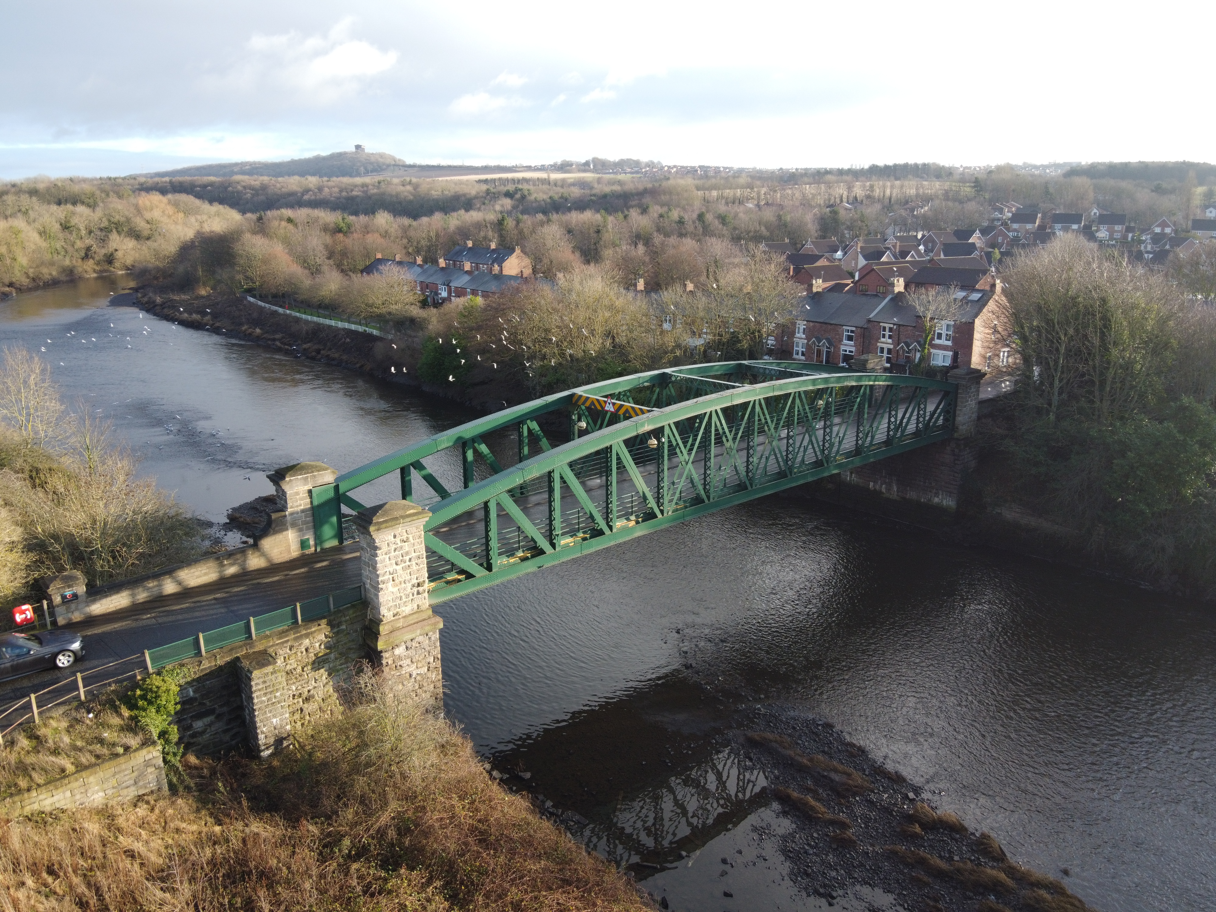
Chartershaugh Bridge
Chartershaugh Bridge is a road traffic bridge spanning the River Wear in North East England, linking Penshaw with Fatfield as part of the A182 road. The...

Penshaw railway station
Penshaw railway station served the village of Penshaw, Tyne and Wear, England from 1840 to 1964 on the Leamside line. == History == The first Penshaw station...
Penshaw Bridge
Penshaw Bridge, also known as Fatfield Bridge, is a road traffic bridge spanning the River Wear in North East England, linking Penshaw with Fatfield. The...

Fatfield Woods
Fatfield Woods is a woodland in Tyne and Wear, England, near Washington. It covers a total area of 8.99 hectares (22.21 acres). It is owned and managed...

Shiney Row
Shiney Row is a village in Houghton-le-Spring, Tyne and Wear, England. One of the most notable people who was born in Shiney Row is Sir George Elliot,...
Biddick Lane railway station
Biddick Lane railway station served the Fatfield area of Washington, in Tyne and Wear (historically County Durham), England. It was on the former Stanhope...

Harraton
Harraton is a suburb of Washington, in the City of Sunderland metropolitan borough, in Tyne and Wear, England. Harraton is near the River Wear and is 3...
Nearby Amenities
Located within 500m of 54.87364,-1.5121322Have you been to Biddick Gill Wood?
Leave your review of Biddick Gill Wood below (or comments, questions and feedback).