Willow Garth

Wood, Forest in Yorkshire Harrogate

England

Willow Garth

South Stainley - Manor Farm
South Stainley - Manor Farm Credit: Colin Park

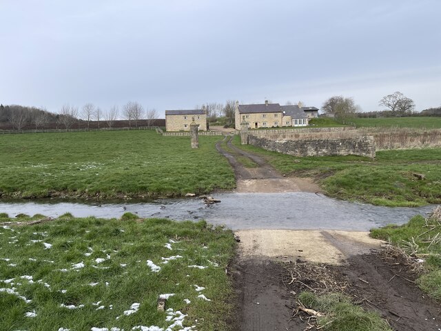
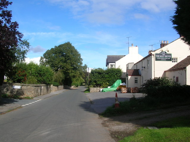
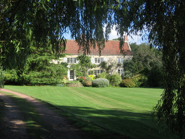
Willow Garth is a small village located in the county of Yorkshire, England. Nestled amidst lush greenery, the village is renowned for its abundant willow trees, which give it its name. Surrounded by a serene and picturesque landscape, Willow Garth is a haven for nature lovers and those seeking a tranquil retreat.

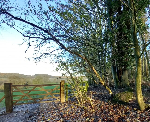
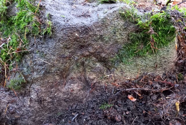
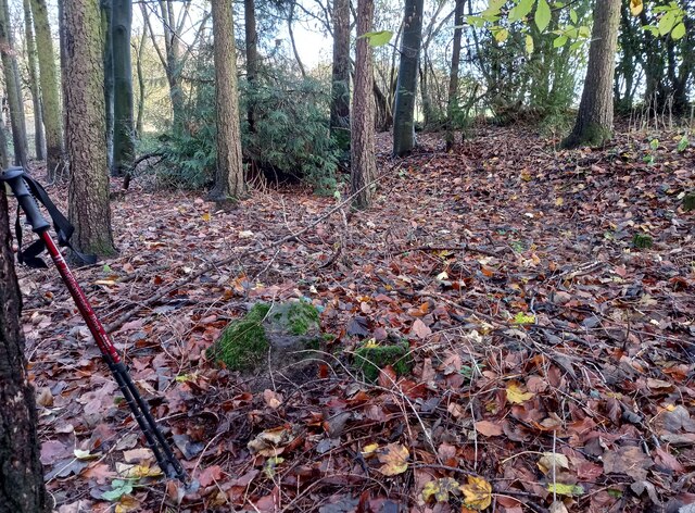
The village is situated on the fringes of a vast forest, adding to its enchanting allure. The forest is home to a diverse range of flora and fauna, with towering oak and beech trees dominating the landscape. The dense woodland provides a habitat for various wildlife species, including deer, foxes, and a plethora of bird species. Nature enthusiasts can explore the forest through well-maintained walking trails that wind through the ancient woodland.

In addition to its natural beauty, Willow Garth boasts a close-knit community with a rich history. The village is characterized by quaint cottages, some dating back centuries, which add to its charm. The residents take pride in preserving the village's heritage and organizing community events that celebrate local customs and traditions.

Facilities in Willow Garth are limited, with a small village hall serving as a gathering place for residents. However, the village is located in close proximity to larger towns, offering access to essential amenities and services. The nearest town, located a few miles away, provides shops, schools, and medical facilities.

Overall, Willow Garth is a hidden gem in the heart of Yorkshire, offering a unique blend of natural beauty, community spirit, and a rich history.

If you have any feedback on the listing, please let us know in the comments section below.
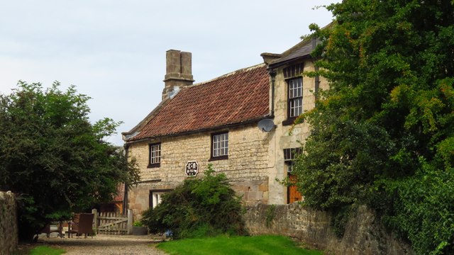
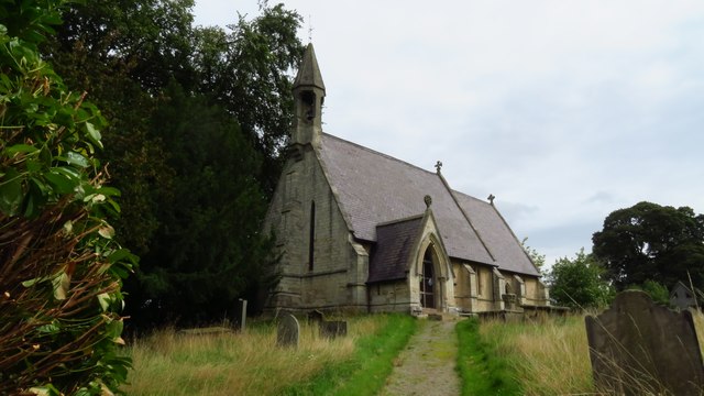
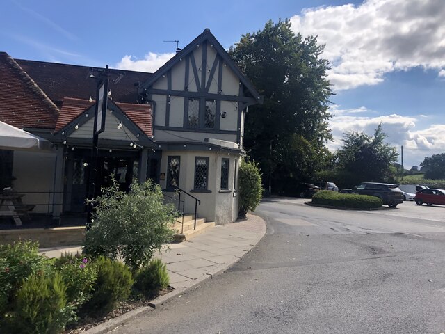
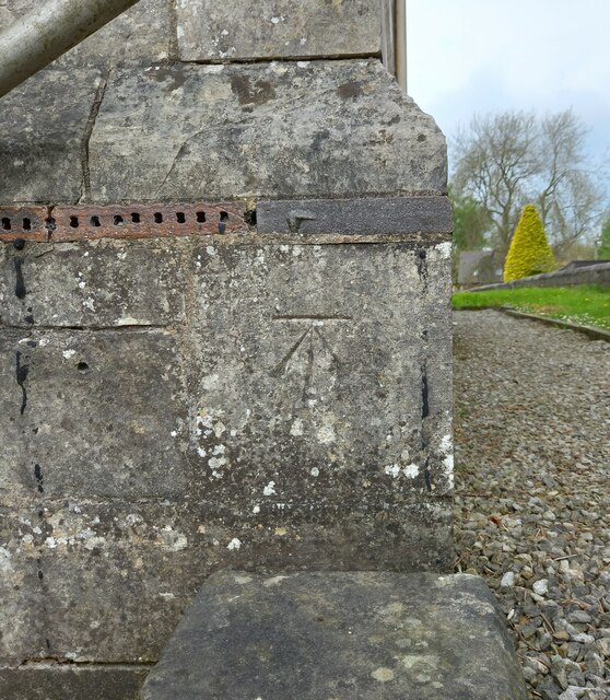
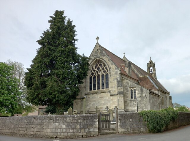
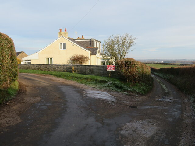
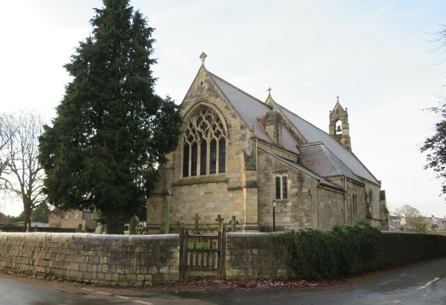
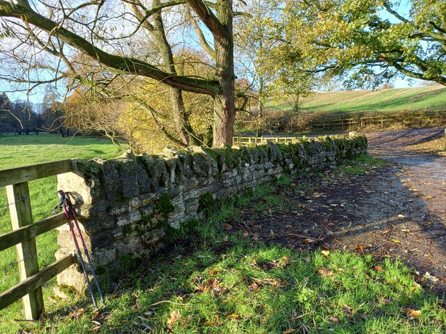
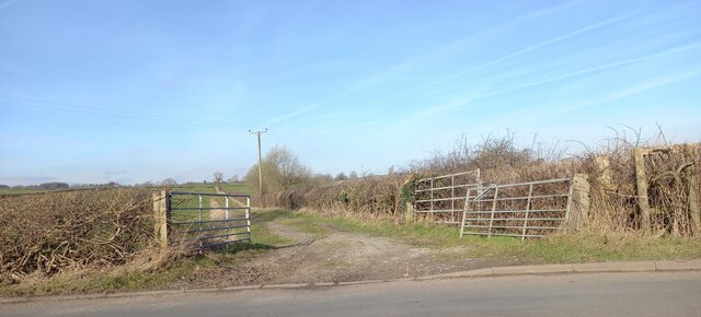
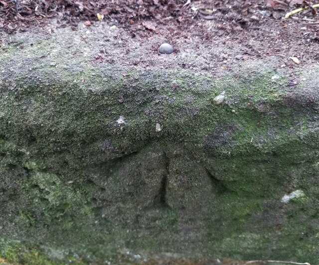
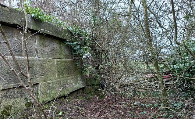
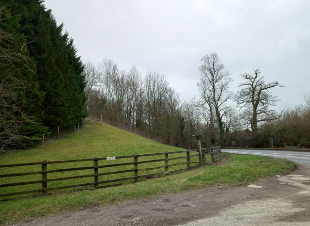
Willow Garth Images

Images are sourced within 2km of 54.065902/-1.5255397 or Grid Reference SE3163. Thanks to Geograph Open Source API. All images are credited.

South Stainley - Manor Farm
South Stainley - St Wilfrid's Church
The Inn, South Stainley Restaurant and accommodation, six miles south of Ripon
The Inn, South Stainley
Restaurant and accommodation, six miles south of Ripon
Burton Leonard church The benchmark is cut into the east face of the church.
Burton Leonard church
The benchmark is cut into the east face of the church.
Burton Leonard church There is a benchmark cut into the east face of the church.
Burton Leonard church
There is a benchmark cut into the east face of the church.
Junction of lanes at Burton Leonard The wider lane to the left is Common Balk Lane and is a dead end for vehicles, whilst to the right is the rather curved Straight Lane which links into the road from Knaresborough to Bishop Monkton.
Junction of lanes at Burton Leonard
The wider lane to the left is Common Balk Lane and is a dead end for vehicles, whilst to the right is the rather curved Straight Lane which links into the road from Knaresborough to Bishop Monkton.
Burton Leonard church, from the NE A Victorian church that doesn't get more than 5 lines of description in the updated Pevsner guide. St Leonard's dates from 1877. This apparently replaced a medieval church, of which nothing remains.
Burton Leonard church, from the NE
A Victorian church that doesn't get more than 5 lines of description in the updated Pevsner guide. St Leonard's dates from 1877. This apparently replaced a medieval church, of which nothing remains.
South Stainley, cliff north of bridleway According to the OS benchmark database there is a benchmark cut into the cliff on the north side of the track. The surrounds is deep in fallen leaves and years of mulch, and it is difficult digging sufficiently deep to find any marks. Nothing was found.
South Stainley, cliff north of bridleway
According to the OS benchmark database there is a benchmark cut into the cliff on the north side of the track. The surrounds is deep in fallen leaves and years of mulch, and it is difficult digging sufficiently deep to find any marks. Nothing was found.
South Stainley, track and bridge According to the OS benchmark database there is a benchmark on the track side wall on the west side of the track. Both the bridge and the wall have been renewed and reshaped over the recent years. The wall where the benchmark was has gone.
South Stainley, track and bridge
According to the OS benchmark database there is a benchmark on the track side wall on the west side of the track. Both the bridge and the wall have been renewed and reshaped over the recent years. The wall where the benchmark was has gone.
South Stainley, old track to Stainley Mill According to the OS benchmark database there is a rivet benchmark cut into a rock on the west of the old track. Only 1 rock found and despite trying to clear the moss no cutmark was found.
South Stainley, old track to Stainley Mill
According to the OS benchmark database there is a rivet benchmark cut into a rock on the west of the old track. Only 1 rock found and despite trying to clear the moss no cutmark was found.
South Stainley, old track to Stainley Mill The pivot benchmark is cut into a rock within a wooded area to the north of the old track. The area is known as Luptons Bank.
South Stainley, old track to Stainley Mill
The pivot benchmark is cut into a rock within a wooded area to the north of the old track. The area is known as Luptons Bank.
South Stainley, Luptons Bank There is a pivot benchmark cut into the rock within the wooded area to the north of the old track and known as Luptons Bank.
South Stainley, Luptons Bank
There is a pivot benchmark cut into the rock within the wooded area to the north of the old track and known as Luptons Bank.
Burton Leonard Ford This is a second visit to this lovely ford. A link to our previous visit can be viewed at:
<a title="https://www.geograph.org.uk/photo/4341764" href="https://www.geograph.org.uk/photo/4341764">Link</a>
Burton Leonard Ford
This is a second visit to this lovely ford. A link to our previous visit can be viewed at: Link
Stainley Hall Farm Ford This ford on the Stainley Beck is found in the entrance to Stainley Hall.
Stainley Hall Farm Ford
This ford on the Stainley Beck is found in the entrance to Stainley Hall.
Wormald Green, lane According to the OS benchmark database there was a gatepost at this field entrance with a benchmark. Nothing found today.
Wormald Green, lane
According to the OS benchmark database there was a gatepost at this field entrance with a benchmark. Nothing found today.
South Stainley, disused railway bridge The rivet benchmark is cut into the southern parapet on the west side of the old line, and the cutmark faces north.
South Stainley, disused railway bridge
The rivet benchmark is cut into the southern parapet on the west side of the old line, and the cutmark faces north.
South Stainley, disused railway bridge There is a rivet benchmark cut into the southern parapet on the west side of the old line. The cutmark is cut into the lower stonework at the far end of the bridge.
South Stainley, disused railway bridge
There is a rivet benchmark cut into the southern parapet on the west side of the old line. The cutmark is cut into the lower stonework at the far end of the bridge.
South Stainley, embankment According to the OS benchmark database there was a benchmark cut into the wall of the railway bridge on the east side of the A61. All stonework has been removed and a grassy bank remains.
South Stainley, embankment
According to the OS benchmark database there was a benchmark cut into the wall of the railway bridge on the east side of the A61. All stonework has been removed and a grassy bank remains.
Show me another place!

Willow Garth is located at Grid Ref: SE3163 (Lat: 54.065902, Lng: -1.5255397)

Division: West Riding

Administrative County: North Yorkshire

District: Harrogate

Police Authority: North Yorkshire

What 3 Words

///florists.gifted.spent. Near Knaresborough, North Yorkshire

Related Wikis

South Stainley

South Stainley is a small village in the Harrogate District, in the county of North Yorkshire, England. Nearby settlements include the city of Ripon, the...

Wormald Green railway station

Wormald Green railway station served the village of Wormald Green, Harrogate, England from 1848 to 1964 on the Leeds-Northallerton Railway. == History... ==

Wormald Green

Wormald Green is a village in the civil parish of Markington with Wallerthwaite in the district of Harrogate, North Yorkshire, England. In 2016, Harrogate...

Burton Leonard

Burton Leonard is a village and civil parish in the Harrogate district of North Yorkshire, England, and approximately 7 miles (11 km) south from Ripon...

Brearton

Brearton is a village and civil parish in the Harrogate borough of North Yorkshire, England, situated about 3 miles (4.8 km) north of Knaresborough. The...

Markington

Markington is a village in the Harrogate district, in the English county of North Yorkshire. The population of the civil parish (including Markenfield...

Nidd Hall

Nidd Hall was a 19th-century country house, now a hotel, in the village of Nidd, North Yorkshire, England. It is a Grade II listed building. It is constructed...

Ingerthorpe

Ingerthorpe is a hamlet and former civil parish about 7 miles (11 km) from Harrogate, now in the parish of Markington with Wallerthwaite, in the Harrogate...

Nearby Amenities

Located within 500m of 54.065902,-1.5255397
Power: pole
Lat/Long: 54.0665787/-1.5193212
Power: pole
Lat/Long: 54.0672398/-1.520083
Power: pole
Lat/Long: 54.0679607/-1.520952
Power: pole
Lat/Long: 54.0686375/-1.5216708
Power: pole
Lat/Long: 54.0695913/-1.5218318
Power: pole
Lat/Long: 54.0666071/-1.5190208
Power: pole
Lat/Long: 54.0672965/-1.5198416
Power: pole
Lat/Long: 54.0679733/-1.5206355
Power: pole
Lat/Long: 54.0686407/-1.5214402
Power: pole
Lat/Long: 54.0694906/-1.5215635
The data included in this document is from www.openstreetmap.org. The data is made available under ODbL.

Have you been to Willow Garth?

Leave your review of Willow Garth below (or comments, questions and feedback).