Bilton Beck Wood

Wood, Forest in Yorkshire Harrogate

England

Bilton Beck Wood

Home Farm, Town Street, Nidd
Home Farm, Town Street, Nidd Credit: Ian S

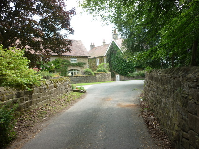
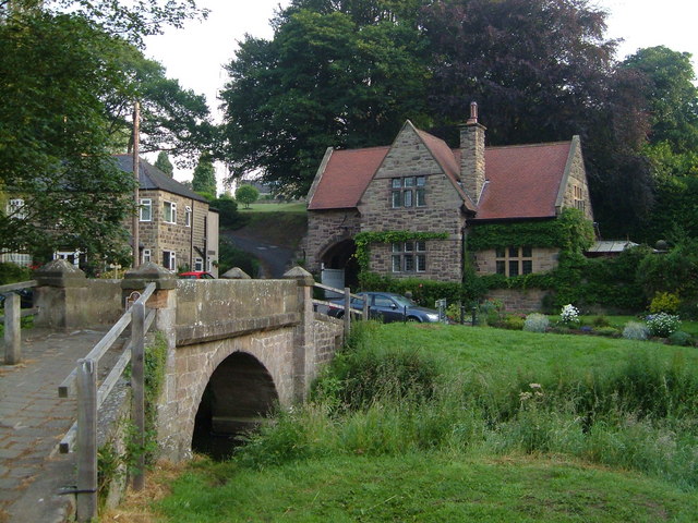
Bilton Beck Wood is a picturesque woodland located in the county of Yorkshire, England. Situated near the village of Bilton, the wood covers an area of approximately 30 acres and is a popular destination for nature lovers and outdoor enthusiasts.

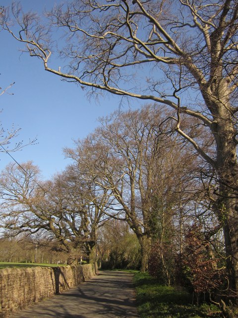
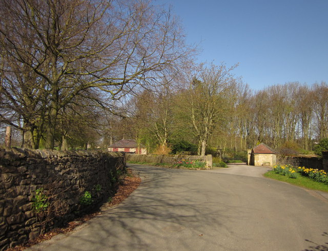
The woodland is characterized by its diverse range of tree species, including oak, birch, and ash, which form a dense canopy overhead. The forest floor is adorned with a carpet of bluebells during the springtime, creating a stunning display of color and fragrance.

Bilton Beck, a small stream, meanders through the wood, adding to its charm and providing a tranquil ambiance. The babbling sound of the water can be heard as it cascades over rocks and flows through the woodland, creating a soothing atmosphere.

The wood is home to a variety of wildlife, including squirrels, badgers, and numerous bird species. It serves as an important habitat for these creatures, providing shelter and sustenance. Visitors may be lucky enough to spot some of these animals during their visit.

Several walking trails wind their way through Bilton Beck Wood, offering visitors the opportunity to explore and appreciate its natural beauty. These trails vary in difficulty, catering to both casual strollers and more experienced hikers.

Overall, Bilton Beck Wood is a picturesque and serene woodland that offers a peaceful escape from the hustle and bustle of everyday life. With its rich biodiversity and scenic beauty, it is a true gem of Yorkshire's countryside.

If you have any feedback on the listing, please let us know in the comments section below.

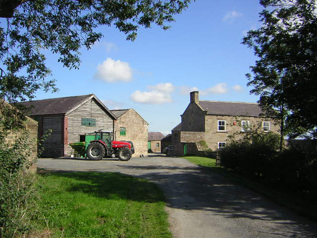
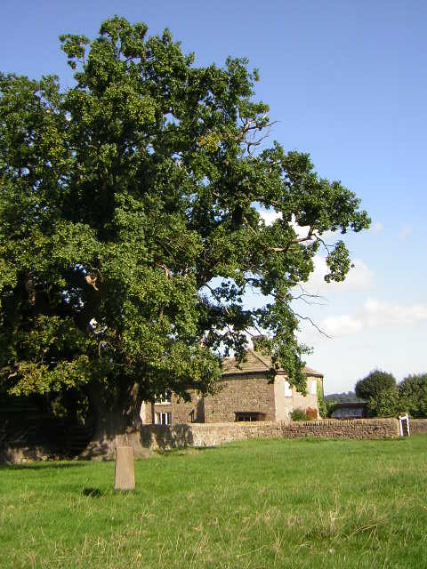
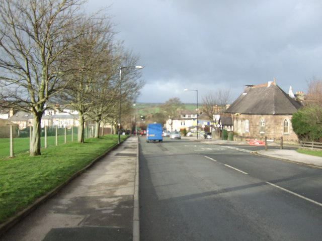
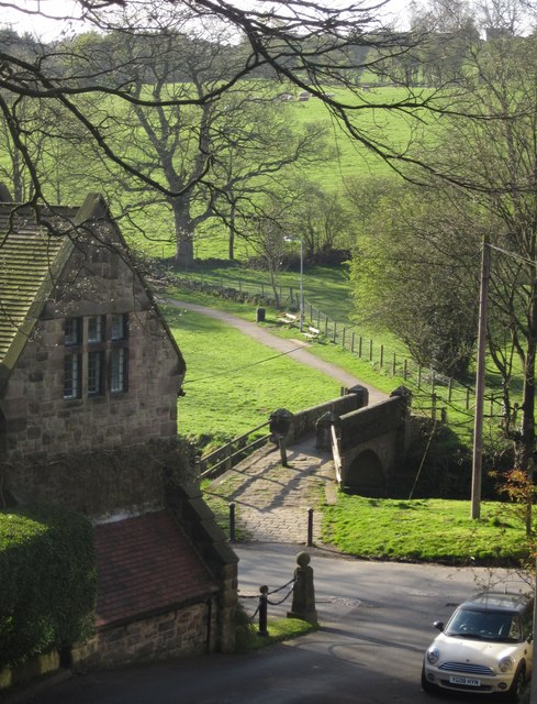
Bilton Beck Wood Images

Images are sourced within 2km of 54.020333/-1.5275997 or Grid Reference SE3158. Thanks to Geograph Open Source API. All images are credited.

Home Farm, Town Street, Nidd
Town Street, Nidd A little further along <a href="https://www.geograph.org.uk/photo/2920281">SE3059 : Town Street, Nidd</a>, and taken more or less on the northing gridline referred to. Beeches line this stretch of the lane.
Town Street, Nidd
A little further along SE3059 : Town Street, Nidd, and taken more or less on the northing gridline referred to. Beeches line this stretch of the lane.
By Home Farm, Nidd Town Street (see <a href="https://www.geograph.org.uk/photo/2920298">SE3060 : Town Street, Nidd</a>) passes Home Farm and Nidd Park House off to the right, about a third of the way between the two parts of Nidd.
By Home Farm, Nidd
Town Street (see SE3060 : Town Street, Nidd) passes Home Farm and Nidd Park House off to the right, about a third of the way between the two parts of Nidd.
Spruisty Bridge, Knox A C17 packhorse bridge over the Oak Beck just to the north of Harrogate, in the attractive hamlet of Knox.
Spruisty Bridge, Knox
A C17 packhorse bridge over the Oak Beck just to the north of Harrogate, in the attractive hamlet of Knox.
Spruisty Hall Farm Early September and feed for the sheep is being loaded on the tractor. Photograph taken from where the Public Footpath leaves the farm access road.
Spruisty Hall Farm
Early September and feed for the sheep is being loaded on the tractor. Photograph taken from where the Public Footpath leaves the farm access road.
Spruisty Hill Farm Southernmost of three Spruisty Farms near Killinghall
Spruisty Hill Farm
Southernmost of three Spruisty Farms near Killinghall
Spruisty Grange Farm Northernmost of three Spruisty farms near Killinghall, lone boundary stone in foreground
Spruisty Grange Farm
Northernmost of three Spruisty farms near Killinghall, lone boundary stone in foreground
Closed Ford The ford connecting Knox Mill Lane with Knox Lane has been closed for several years although walkers can still cross Oak Beck using the 17th century Spruisty Bridge. This listed bridge carried packhorse traffic between Knaresborough and Ripley through Bilton, Knox and Killinghall.
Closed Ford
The ford connecting Knox Mill Lane with Knox Lane has been closed for several years although walkers can still cross Oak Beck using the 17th century Spruisty Bridge. This listed bridge carried packhorse traffic between Knaresborough and Ripley through Bilton, Knox and Killinghall.
Knox Hill Farm Up a driveway from the A61 Ripon Road on the side of the Oak Beck valley.
Knox Hill Farm
Up a driveway from the A61 Ripon Road on the side of the Oak Beck valley.
Spruisty Bridge, Knox, Harrogate
The way to Spruisty Hill Farm, near Knox
St Joseph's Catholic Church
Skipton Road (A59) heading west
Farmland, Spruisty Hill
Track to Spruisty Hall Farm
Spruisty Bridge, Knox Another view of the listed bridge (downstream side) shown in <a title="https://www.geograph.org.uk/search.php?i=30145184" href="https://www.geograph.org.uk/search.php?i=30145184">Link</a> . As the Oak Beck is a parish boundary, the bridge is described twice, at <span class="nowrap"><a title="http://www.britishlistedbuildings.co.uk/en-329888-spruisty-bridge-harrogate" rel="nofollow ugc noopener" href="http://www.britishlistedbuildings.co.uk/en-329888-spruisty-bridge-harrogate">Link</a><img style="margin-left:2px;" alt="External link" title="External link - shift click to open in new window" src="https://s1.geograph.org.uk/img/external.png" width="10" height="10"/></span> and  <span class="nowrap"><a title="http://www.britishlistedbuildings.co.uk/en-331539-spruisty-packhorse-bridge-over-oak-beck-" rel="nofollow ugc noopener" href="http://www.britishlistedbuildings.co.uk/en-331539-spruisty-packhorse-bridge-over-oak-beck-">Link</a><img style="margin-left:2px;" alt="External link" title="External link - shift click to open in new window" src="https://s1.geograph.org.uk/img/external.png" width="10" height="10"/></span> ; the former doesn't seem to consider it C17.
Spruisty Bridge, Knox
Another view of the listed bridge (downstream side) shown in Link . As the Oak Beck is a parish boundary, the bridge is described twice, at LinkExternal link and LinkExternal link ; the former doesn't seem to consider it C17.
Spruisty Bridge, Knox A view of <a href="https://www.geograph.org.uk/photo/2887853">SE2957 : Spruisty Bridge, Knox</a> from footpath number 15 65/5/2. Knox Lane continues beyond the bridge towards Bilton.
Spruisty Bridge, Knox
A view of SE2957 : Spruisty Bridge, Knox from footpath number 15 65/5/2. Knox Lane continues beyond the bridge towards Bilton.
Show me another place!

Bilton Beck Wood is located at Grid Ref: SE3158 (Lat: 54.020333, Lng: -1.5275997)

Division: West Riding

Administrative County: North Yorkshire

District: Harrogate

Police Authority: North Yorkshire

What 3 Words

///compelled.touched.vague. Near Harrogate, North Yorkshire

Nearby Locations

Bilton Beck Wood

Related Wikis

Oak Beck

Oak Beck is a watercourse that flows eastwards across the northern part of Harrogate in North Yorkshire, England. The beck flows through a broad V-shaped...

Bilton, Harrogate

Bilton is a suburb of Harrogate, North Yorkshire, England, situated to the north-east of the town centre. == History == Bilton was first recorded (as Billeton...

Harrogate Gasworks Railway

Harrogate Gasworks Railway was an industrial railway in the town of Harrogate, North Yorkshire, England. It was built to the gauge of 2 ft and ran between...

Red Cat Cottage

The Red Cat Cottage (formerly Red Cat Inn), a Grade II listed building, is now a residence that sits at the top of Bachelor Gardens in Bilton, a district...

Nidd

Nidd is a small village and civil parish in the Harrogate district of North Yorkshire, England. The population of the village taken at the 2011 census...

Nidderdale Greenway

The Nidderdale Greenway is a 4-mile (6.4 km) path that runs between Harrogate and Ripley in North Yorkshire, England. It uses a former railway line that...

Scotton, Harrogate

Scotton is a small village and civil parish in the Harrogate district of North Yorkshire, England with a population of 524 in the 2001 census, increasing...

Nidd Bridge railway station

Nidd Bridge railway station served the village of Nidd, North Yorkshire, England from 1848 to 1964 on the Leeds-Northallerton Railway. == History == The...

Nearby Amenities

Located within 500m of 54.020333,-1.5275997
Barrier: cycle_barrier
Lat/Long: 54.0207/-1.5334593
Barrier: cycle_barrier
Lat/Long: 54.0197607/-1.5321757
Power: tower
Lat/Long: 54.0163737/-1.5270311
Information: board
Tourism: information
Lat/Long: 54.0172449/-1.5287998
Information: guidepost
Tourism: information
Lat/Long: 54.0206701/-1.5288897
Bench
Lat/Long: 54.0199062/-1.5319791
The data included in this document is from www.openstreetmap.org. The data is made available under ODbL.

Have you been to Bilton Beck Wood?

Leave your review of Bilton Beck Wood below (or comments, questions and feedback).