Burland-green Plantation
Wood, Forest in Derbyshire Amber Valley
England
Burland-green Plantation

Burland-Green Plantation is a picturesque woodland located in Derbyshire, England. Situated in the heart of the Peak District National Park, this plantation covers a vast area of lush greenery and is a popular destination for nature enthusiasts and outdoor adventurers alike.
The plantation is known for its dense forest, tall trees, and diverse flora and fauna. It is home to a variety of native species, including oak, beech, and birch trees. These towering giants provide a habitat for numerous bird species, including woodpeckers and owls, as well as small mammals like deer and rabbits.
The woodland offers a tranquil and serene atmosphere, making it an ideal location for those seeking peace and solitude. It is a haven for hikers and nature lovers, who can explore the plantation's numerous walking trails. The well-maintained paths wind through the forest, allowing visitors to immerse themselves in the natural beauty of the surroundings.
Burland-Green Plantation also boasts a rich history. It is believed to have been used for timber production in the past, and remnants of old sawmill machinery can still be found within the woodland. The site is also said to have been used for charcoal production during the Industrial Revolution.
Today, the plantation is managed by the local authorities, who ensure the preservation of its natural beauty and wildlife. Visitors are encouraged to respect the environment and follow the designated trails to minimize any negative impact on the delicate ecosystem.
In conclusion, Burland-Green Plantation in Derbyshire is a stunning woodland paradise, offering a haven of tranquility and natural beauty for visitors to enjoy.
If you have any feedback on the listing, please let us know in the comments section below.
Burland-green Plantation Images
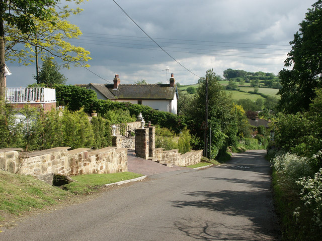
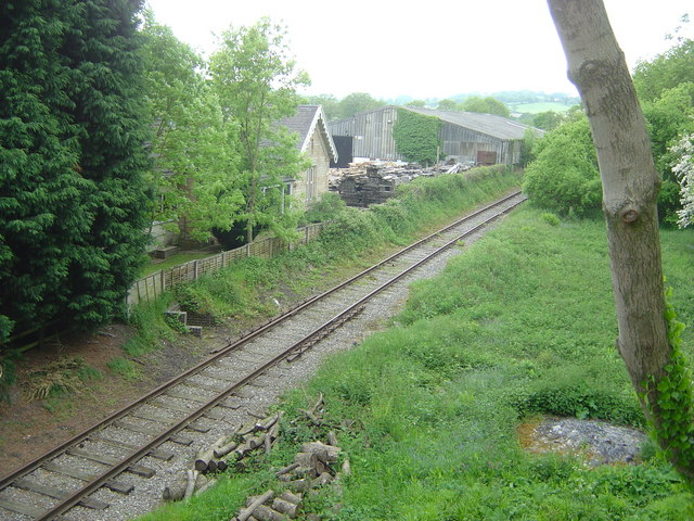
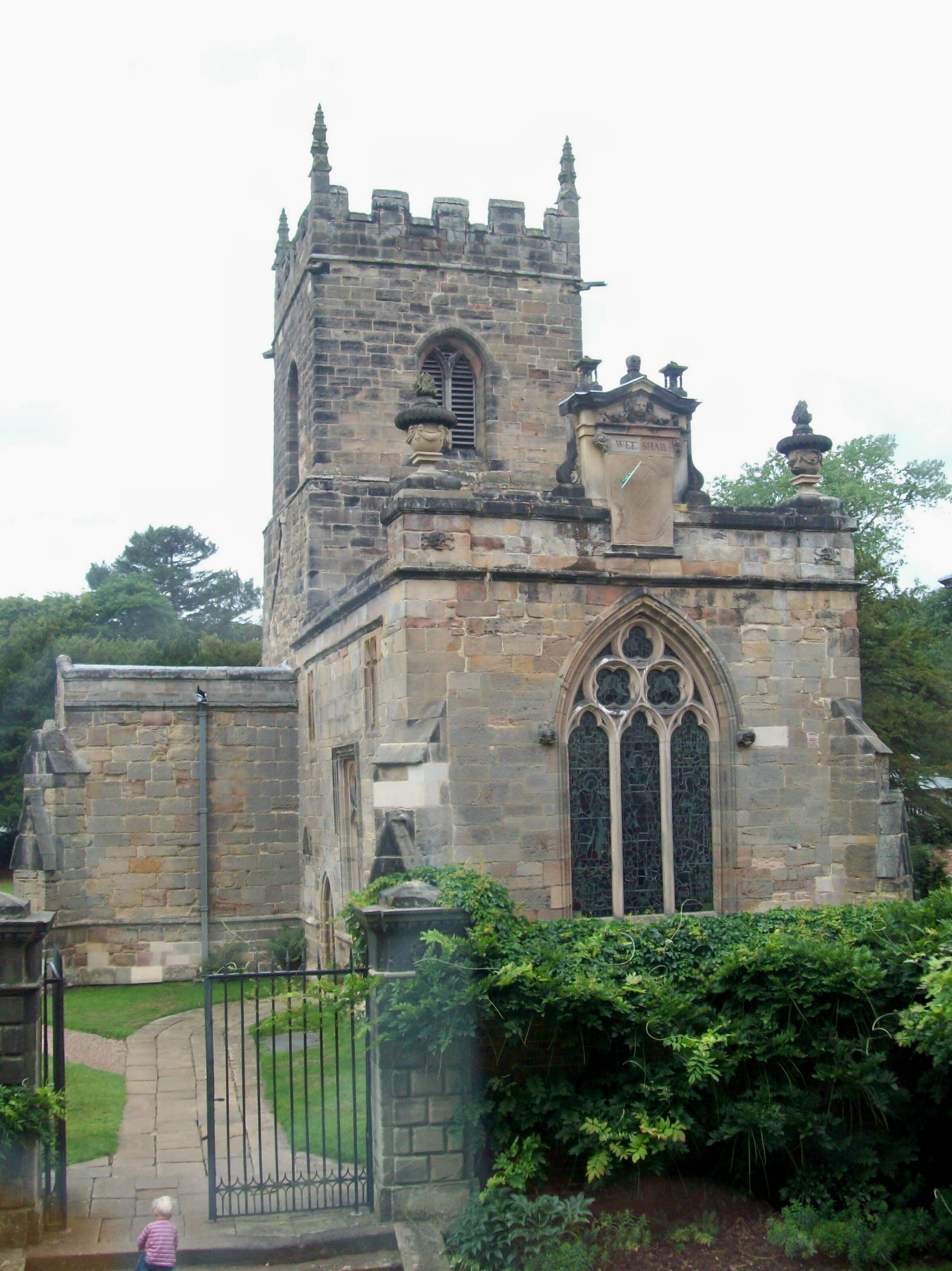
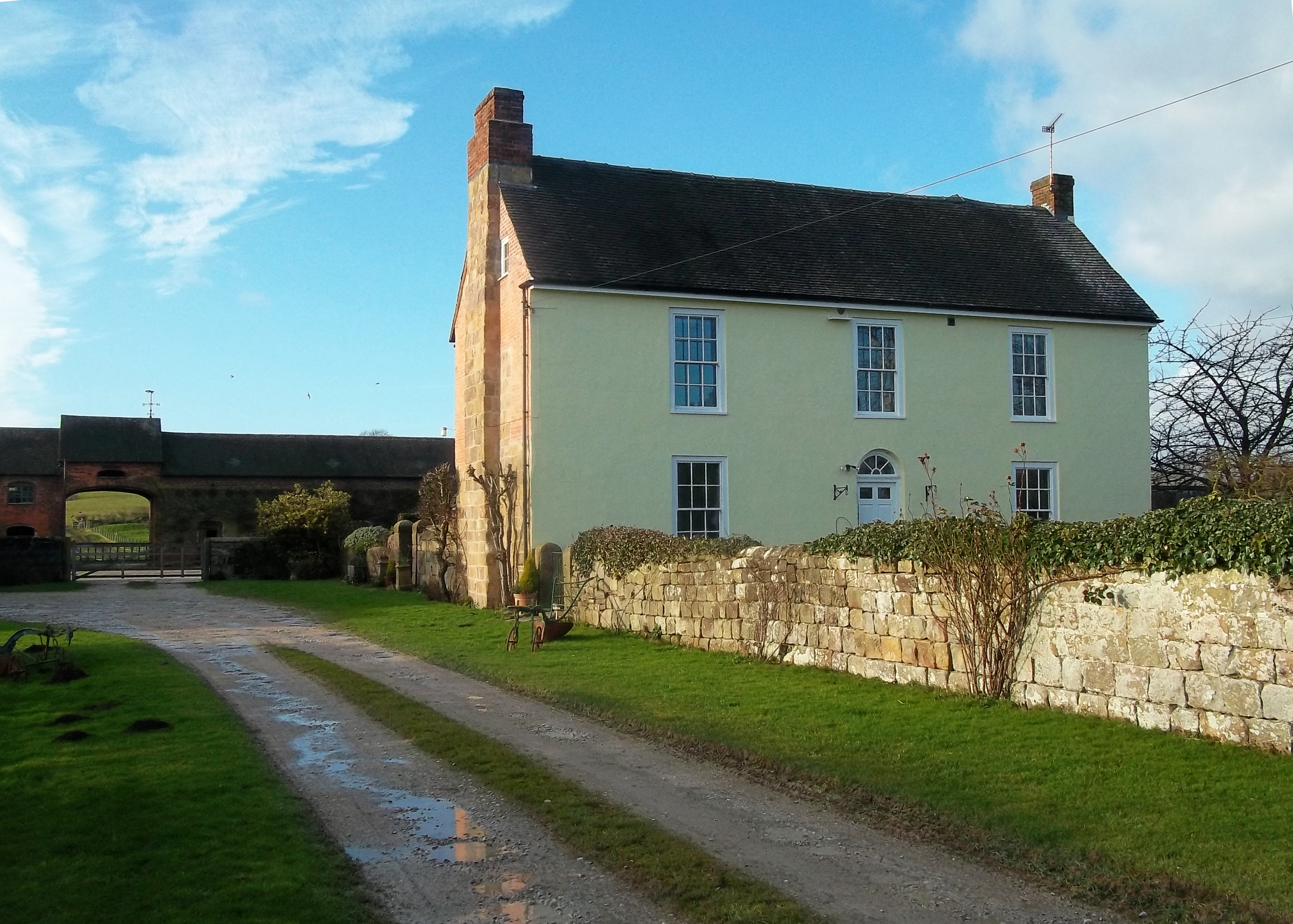
Images are sourced within 2km of 52.986238/-1.5423035 or Grid Reference SK3043. Thanks to Geograph Open Source API. All images are credited.


Burland-green Plantation is located at Grid Ref: SK3043 (Lat: 52.986238, Lng: -1.5423035)
Administrative County: Derbyshire
District: Amber Valley
Police Authority: Derbyshire
What 3 Words
///twigs.grace.join. Near Duffield, Derbyshire
Nearby Locations
Related Wikis


Related Videos
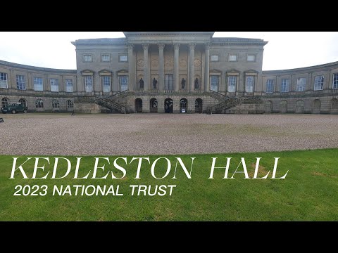
Kedleston Hall national trust,walking tour in October 2023
Kedleston Hall is a neo-classical manor house owned by the National Trust, and seat of the Curzon family, located in Kedleston, ...
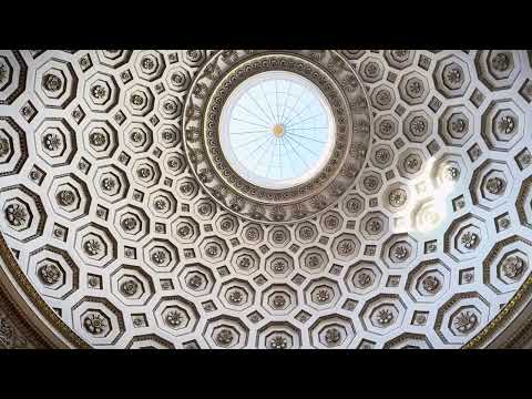
Cinematic Travel Video Kedleston Hall iPhone 15 Pro 4k
Welcome to a moment of pure tranquility as we embark on a leisurely walk around the enchanting Kedleston Hall. Leave the noise ...
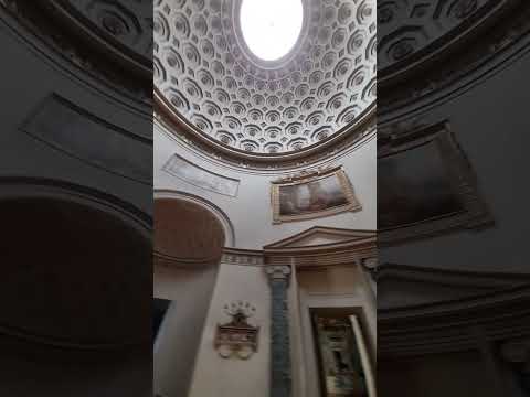

A Tour of Kedleston Hall Teaser
A Tour of Kedleston Hall Teaser, England UK Tour includes: 1. The short walk 1.7 miles 2. The gardens and flowers with ...
Nearby Amenities
Located within 500m of 52.986238,-1.5423035Have you been to Burland-green Plantation?
Leave your review of Burland-green Plantation below (or comments, questions and feedback).