Thornyfield Wood
Wood, Forest in Warwickshire Nuneaton and Bedworth
England
Thornyfield Wood

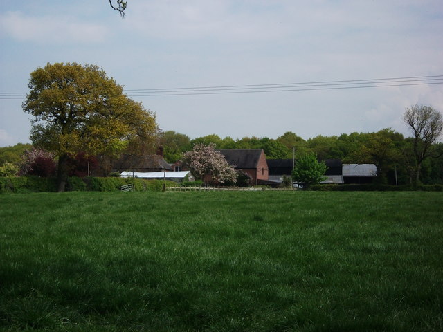
Thornyfield Wood is a picturesque woodland located in the heart of Warwickshire, England. Spanning an area of approximately 100 acres, this enchanting forest is known for its lush greenery, diverse wildlife, and tranquil atmosphere. The wood is situated on the outskirts of the small village of Thornyfield, making it easily accessible to both locals and visitors.
The woodland is characterized by a rich variety of tree species, including oak, beech, and birch, which form a dense canopy overhead. The forest floor is adorned with a carpet of wildflowers, creating a colorful and vibrant landscape throughout the year. In spring, bluebells and primroses bloom, while in autumn, the wood is ablaze with the fiery hues of falling leaves.
Thornyfield Wood boasts an extensive network of well-maintained footpaths, allowing visitors to explore the area and enjoy the peaceful surroundings. The paths wind through the trees, revealing hidden glades and charming clearings where one can rest and appreciate the natural beauty.
The wood is also home to a diverse array of wildlife. Birdwatchers can spot various species such as woodpeckers, owls, and songbirds in the treetops, while lucky visitors may catch a glimpse of a shy deer or a playful squirrel darting through the undergrowth.
Thornyfield Wood offers a serene escape from the hustle and bustle of everyday life. Whether you are seeking a peaceful walk, a spot for a picnic, or simply a place to connect with nature, this woodland sanctuary provides a haven for all who visit.
If you have any feedback on the listing, please let us know in the comments section below.
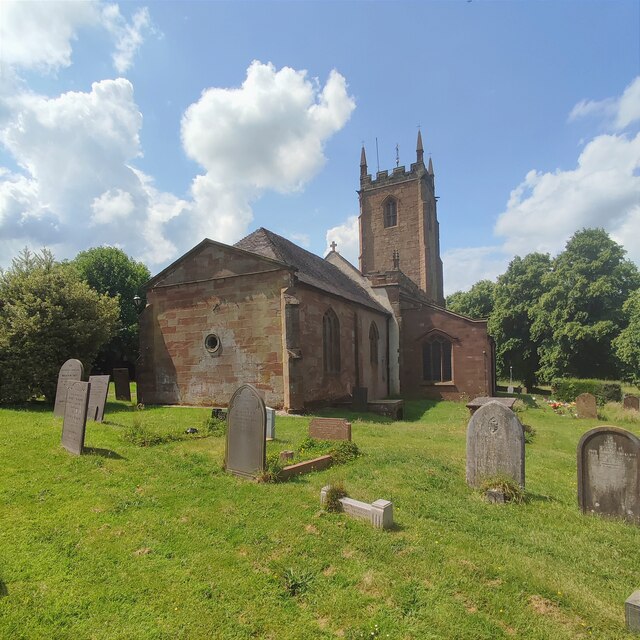
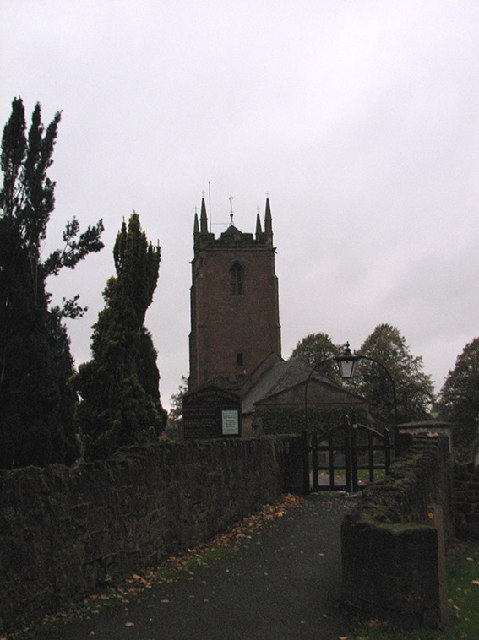
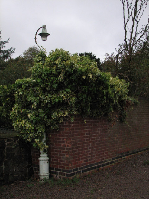
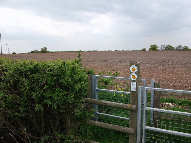
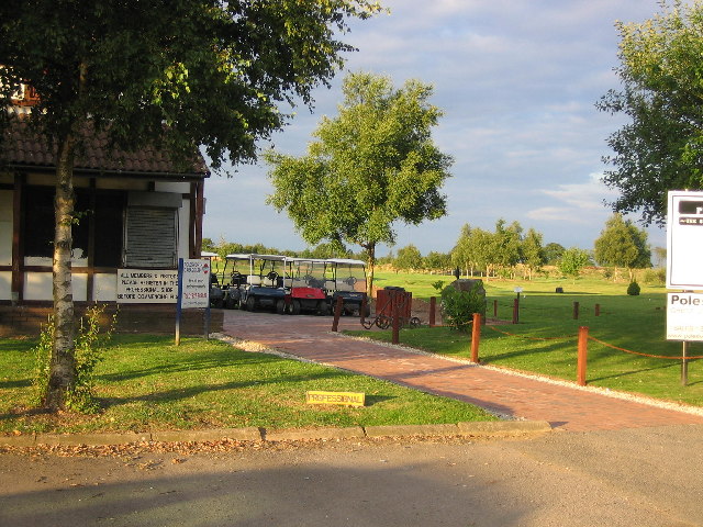
Thornyfield Wood Images
Images are sourced within 2km of 52.532264/-1.5496002 or Grid Reference SP3092. Thanks to Geograph Open Source API. All images are credited.


Thornyfield Wood is located at Grid Ref: SP3092 (Lat: 52.532264, Lng: -1.5496002)
Administrative County: Warwickshire
District: Nuneaton and Bedworth
Police Authority: Warwickshire
What 3 Words
///loafing.cattle.breaches. Near Hartshill, Warwickshire
Nearby Locations
Related Wikis

Ansley, Warwickshire
Ansley is a parish in Warwickshire consisting of Ansley, Ansley Common, Church End, Birchley Heath and, previously, Ansley Hall Colliery. Ansley is on...
Galley Common
Galley Common is a suburban village on the outskirts of Nuneaton, Warwickshire, England. The community is a ward on the western fringe of Nuneaton and...
Oldbury, Warwickshire
Oldbury is a hamlet and former civil parish about 2 miles from Atherstone, now in the parish of Hartshill, in the North Warwickshire district, in the county...
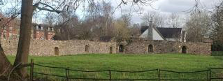
Hartshill Castle
Hartshill Castle is a ruined castle in the village of Hartshill on the outskirts of Nuneaton, Warwickshire (grid reference SP325942). It is on Historic...
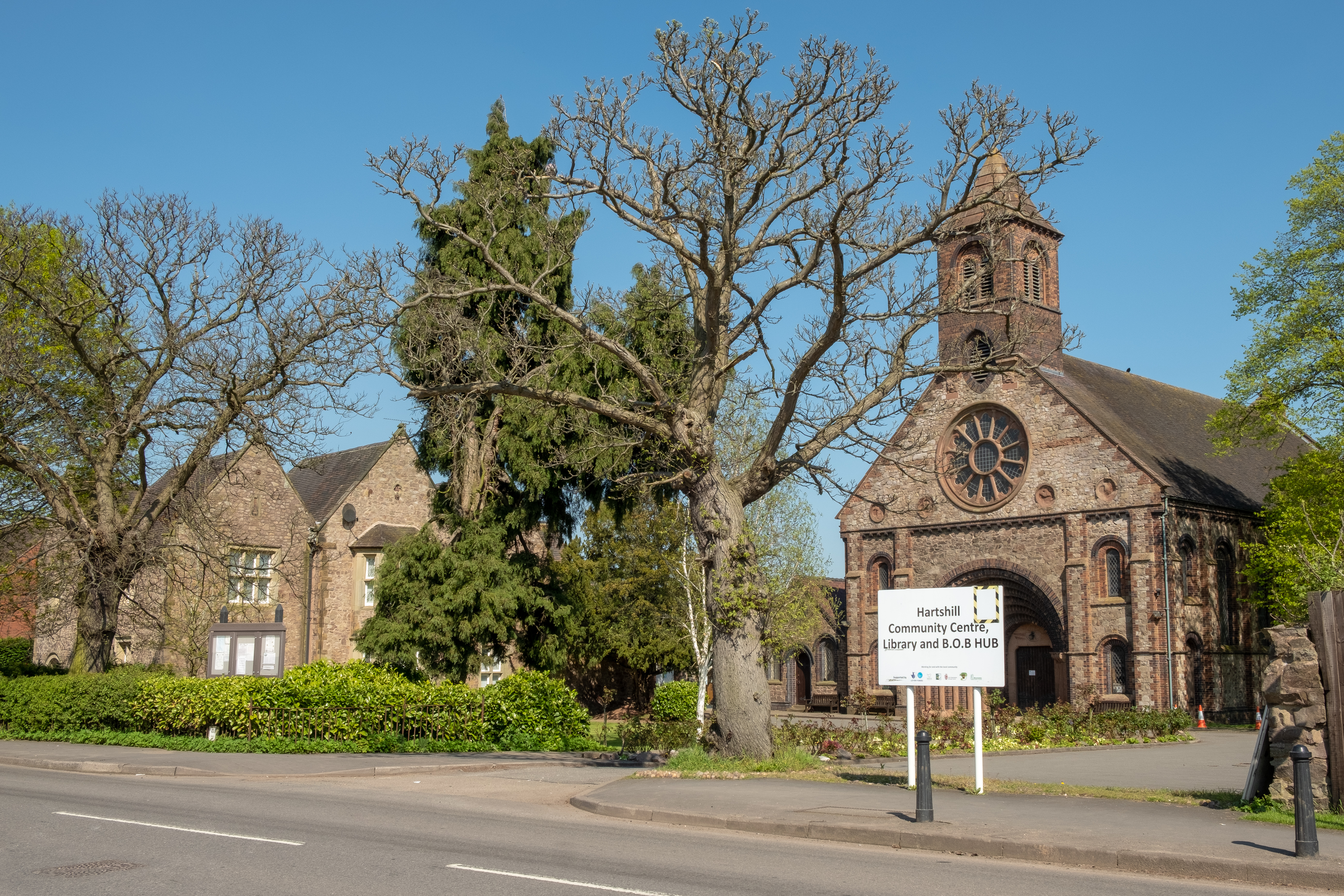
Hartshill
Hartshill is a large village and civil parish in North Warwickshire, England, 2.5 miles (4 km) north-west of the town of Nuneaton. The parish borders the...
Hartshill Academy
Hartshill Academy (formerly Hartshill School) is a mixed secondary school located in Hartshill area of Nuneaton in the English county of Warwickshire.Feeder...
St Anne's, Chapel End, Nuneaton
The Roman Catholic parish of St Anne, Nuneaton, in Warwickshire, England, serves the western side of Nuneaton and outlying villages towards Coleshill....

Jee's Harts Hill Granite and Brick Company's works railways
Jee's Harts Hill Granite and Brick Company's works railways consisted of a narrow gauge light railway and a standard gauge works railway at Hartshill station...
Nearby Amenities
Located within 500m of 52.532264,-1.5496002Have you been to Thornyfield Wood?
Leave your review of Thornyfield Wood below (or comments, questions and feedback).