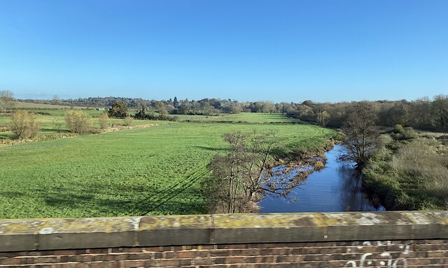
Wootton Spinnies
Wood, Forest in Warwickshire Warwick
England
Wootton Spinnies
Wootton Spinnies is a charming woodland area located in Warwickshire, England. Spread across approximately 100 acres, it offers visitors a peaceful retreat in the heart of nature. The spinnies, also known as "spinnels," are small areas of trees or woodlands, and Wootton Spinnies is one such example.
The woodland is predominantly composed of native broadleaf species, such as oak, ash, and birch. These trees create a rich and diverse habitat, providing a sanctuary for a wide range of wildlife. Visitors to Wootton Spinnies can expect to encounter various bird species, including woodpeckers, owls, and songbirds, as well as small mammals like squirrels and rabbits.
The forest floor is covered in a lush carpet of ferns, bluebells, and wildflowers during the spring and summer months, creating a picturesque and vibrant scene. Walking trails meander through the woodland, allowing visitors to explore its beauty at their own pace. These paths are well-maintained and accessible, making it suitable for visitors of all ages and abilities.
Wootton Spinnies is also a popular destination for nature enthusiasts and photographers, who appreciate the tranquility and natural beauty it offers. The woodland provides ample opportunities for capturing stunning images of both flora and fauna.
Overall, Wootton Spinnies is a hidden gem in Warwickshire, offering a peaceful and enchanting escape from the hustle and bustle of everyday life. Whether you are a nature lover, a keen photographer, or simply seeking solace in nature, this woodland is a must-visit destination.
If you have any feedback on the listing, please let us know in the comments section below.
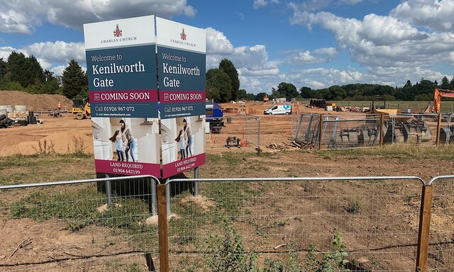
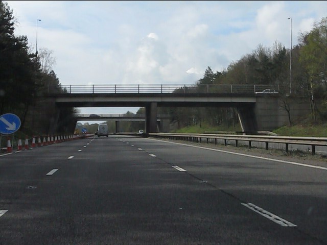
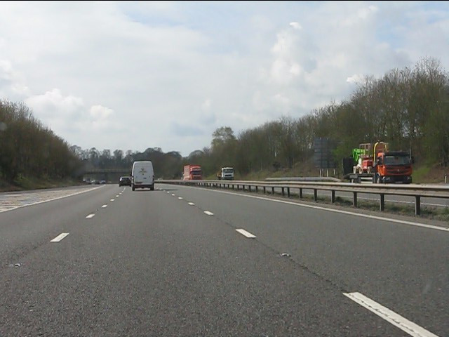
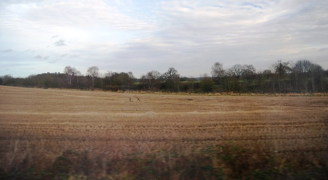
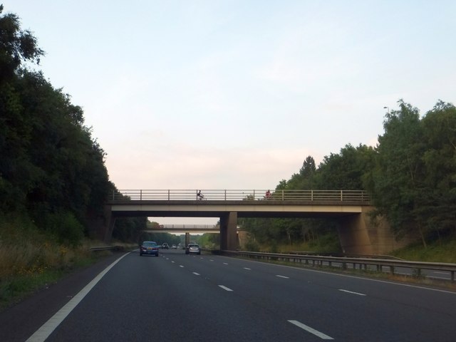
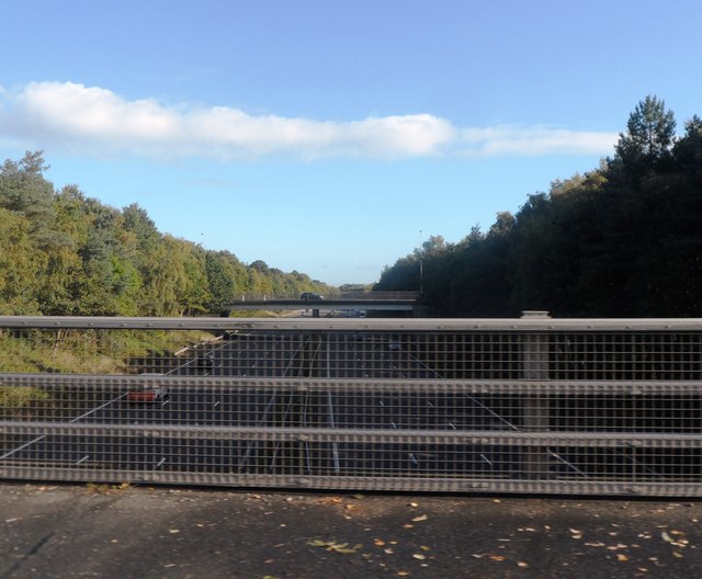
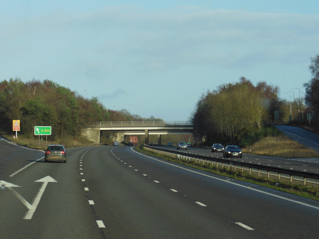
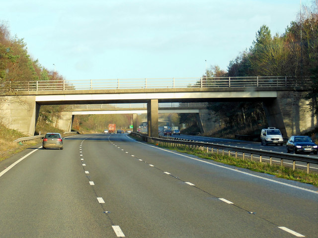
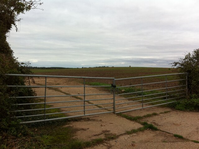
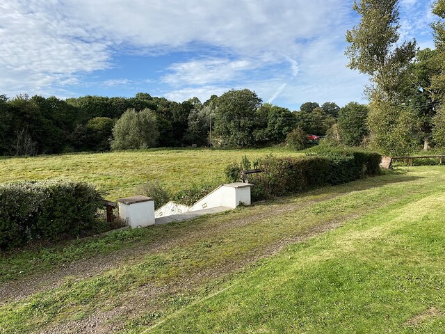
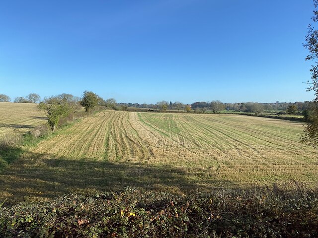
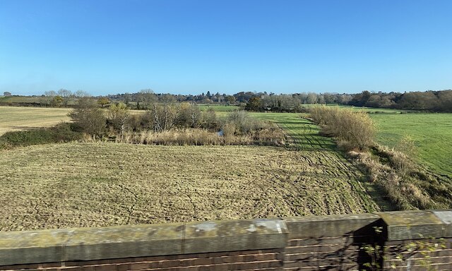
Wootton Spinnies Images
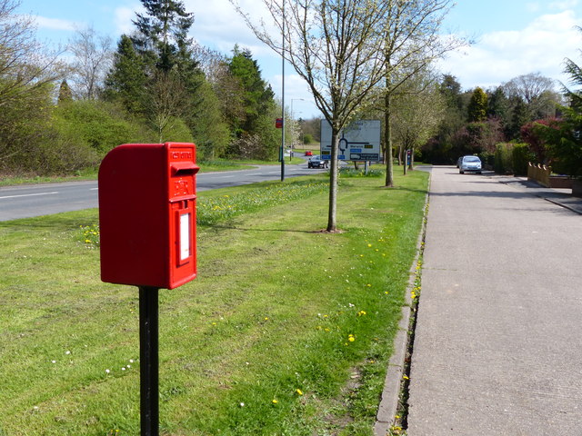
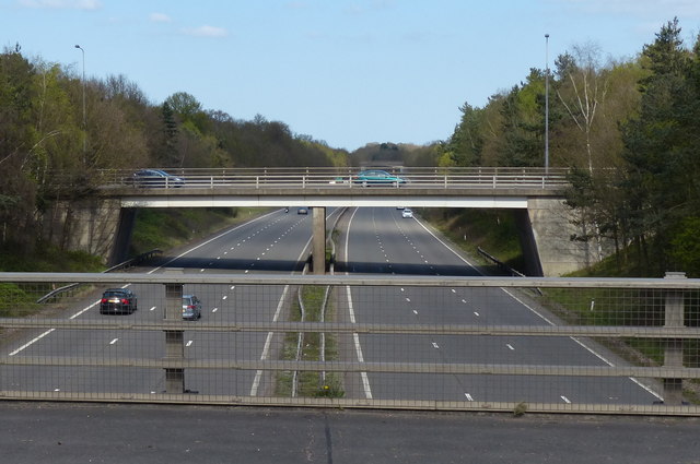
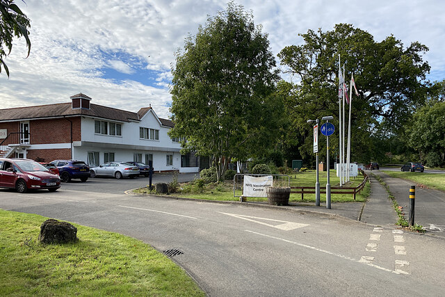
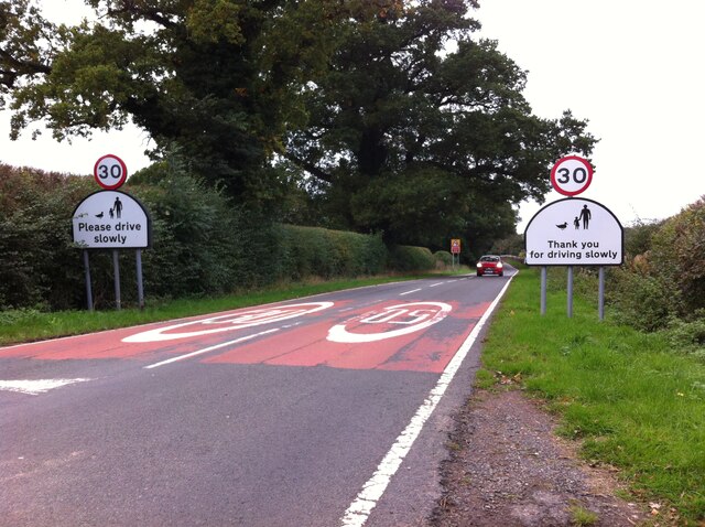
Images are sourced within 2km of 52.320101/-1.5531059 or Grid Reference SP3069. Thanks to Geograph Open Source API. All images are credited.

Wootton Spinnies is located at Grid Ref: SP3069 (Lat: 52.320101, Lng: -1.5531059)
Administrative County: Warwickshire
District: Warwick
Police Authority: Warwickshire
What 3 Words
///sweat.fuzzy.letter. Near Leek Wootton, Warwickshire
Nearby Locations
Related Wikis
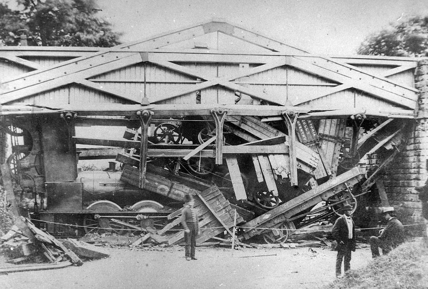
Wootton bridge collapse
The Wootton bridge collapse occurred on 11 June 1861, when the rail bridge over the road between Leek Wootton and Hill Wootton in Warwickshire collapsed...
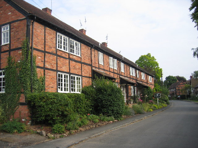
Ashow
Ashow is a small village and civil parish in the Warwick district of Warwickshire, England, about 2.5 miles (4 km) south-east of central Kenilworth. According...

Blackdown, Warwickshire
Blackdown is a hamlet and civil parish in the Warwick district of Warwickshire, England. Blackdown is about two miles north of Leamington Spa, between...
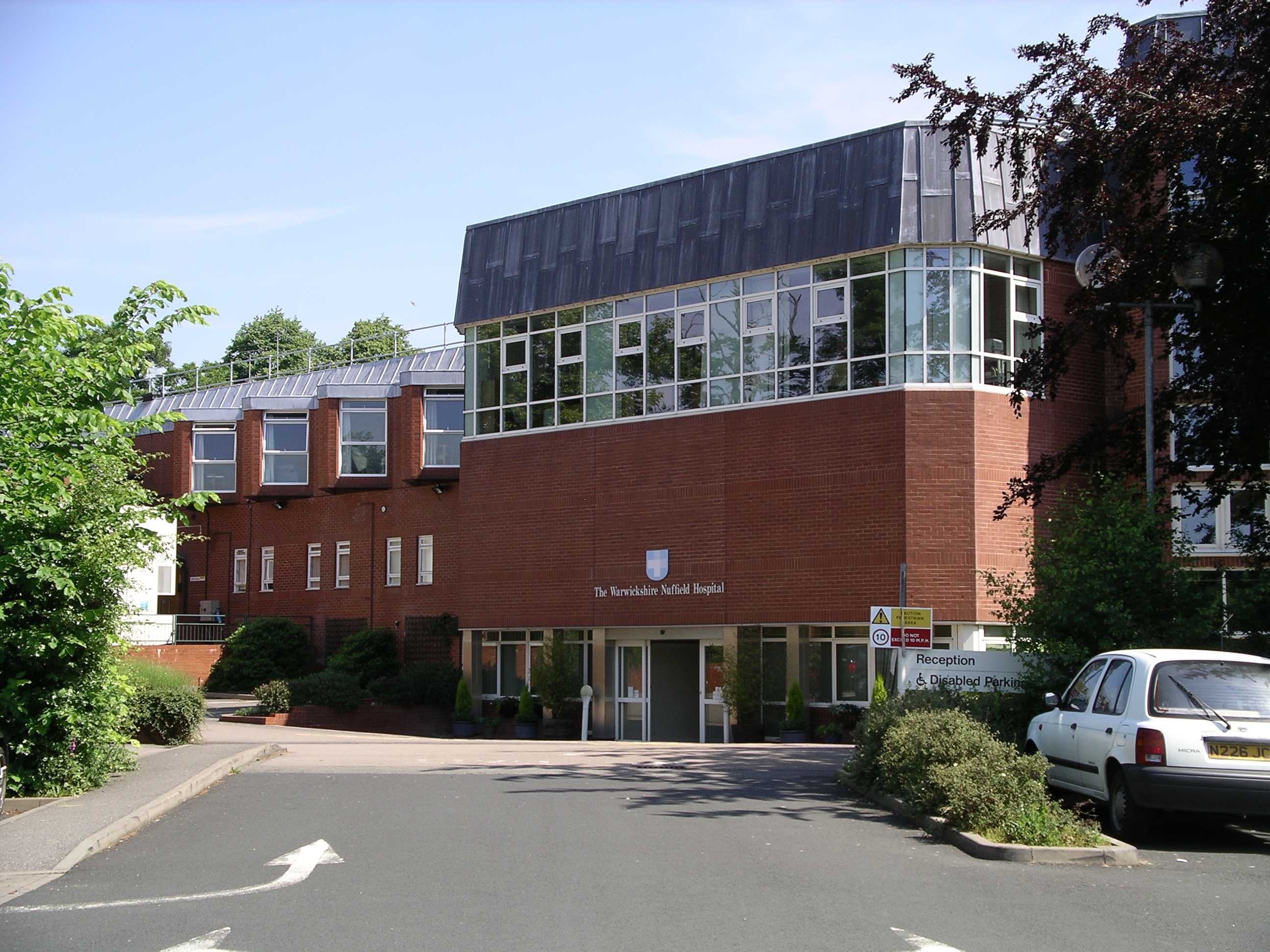
Warwickshire Nuffield Hospital
Warwickshire Nuffield Hospital is a not-for-profit private hospital situated in the north of Leamington Spa, Warwickshire, England. == History == The hospital...
Nearby Amenities
Located within 500m of 52.320101,-1.5531059Have you been to Wootton Spinnies?
Leave your review of Wootton Spinnies below (or comments, questions and feedback).