Fishpond Plantation
Wood, Forest in Yorkshire Harrogate
England
Fishpond Plantation
Fishpond Plantation is a picturesque woodland located in the stunning county of Yorkshire, England. Situated near the village of Wood, this enchanting forest is a haven for nature lovers and outdoor enthusiasts. Covering an area of approximately 100 acres, Fishpond Plantation is a diverse and well-preserved ecosystem that showcases the rich biodiversity of the region.
The woodland is characterized by its dense canopy of towering trees, including oak, beech, and birch, creating a serene and peaceful atmosphere. The forest floor is adorned with a vibrant carpet of ferns, bluebells, and wildflowers, adding a splash of color to the landscape throughout the seasons. Several streams and ponds meander through the plantation, providing a habitat for various species of aquatic life.
Home to a wide range of flora and fauna, Fishpond Plantation offers ample opportunities for wildlife sightings. Visitors may catch a glimpse of red deer, roe deer, badgers, and foxes, among other creatures that inhabit the woodland. Birdwatchers will be delighted by the sight of numerous avian species, including woodpeckers, owls, and various songbirds.
The plantation is a popular destination for hikers and nature enthusiasts, as it offers an extensive network of well-maintained trails that wind through the forest. These paths cater to all levels of fitness and provide scenic viewpoints, allowing visitors to immerse themselves in the beauty of the natural surroundings.
Whether it's a leisurely stroll, a birdwatching expedition, or a peaceful picnic amidst nature, Fishpond Plantation is a must-visit destination for those seeking tranquility and a deeper connection with the natural world.
If you have any feedback on the listing, please let us know in the comments section below.
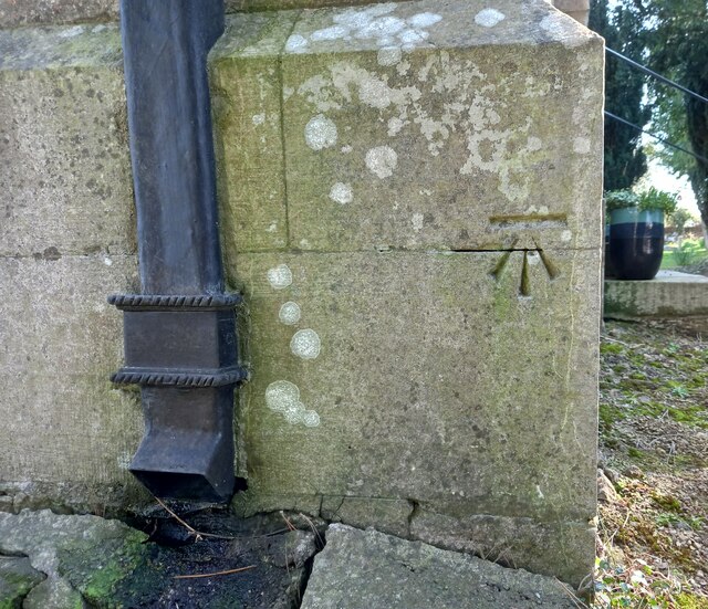
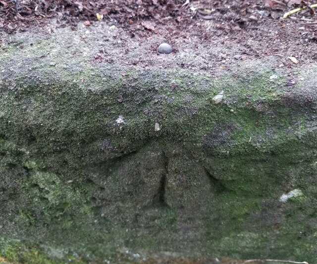
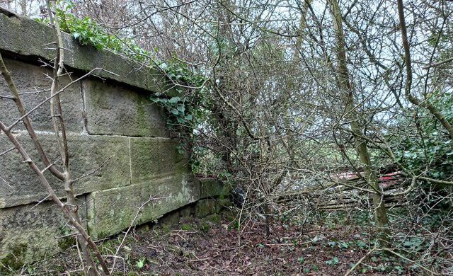
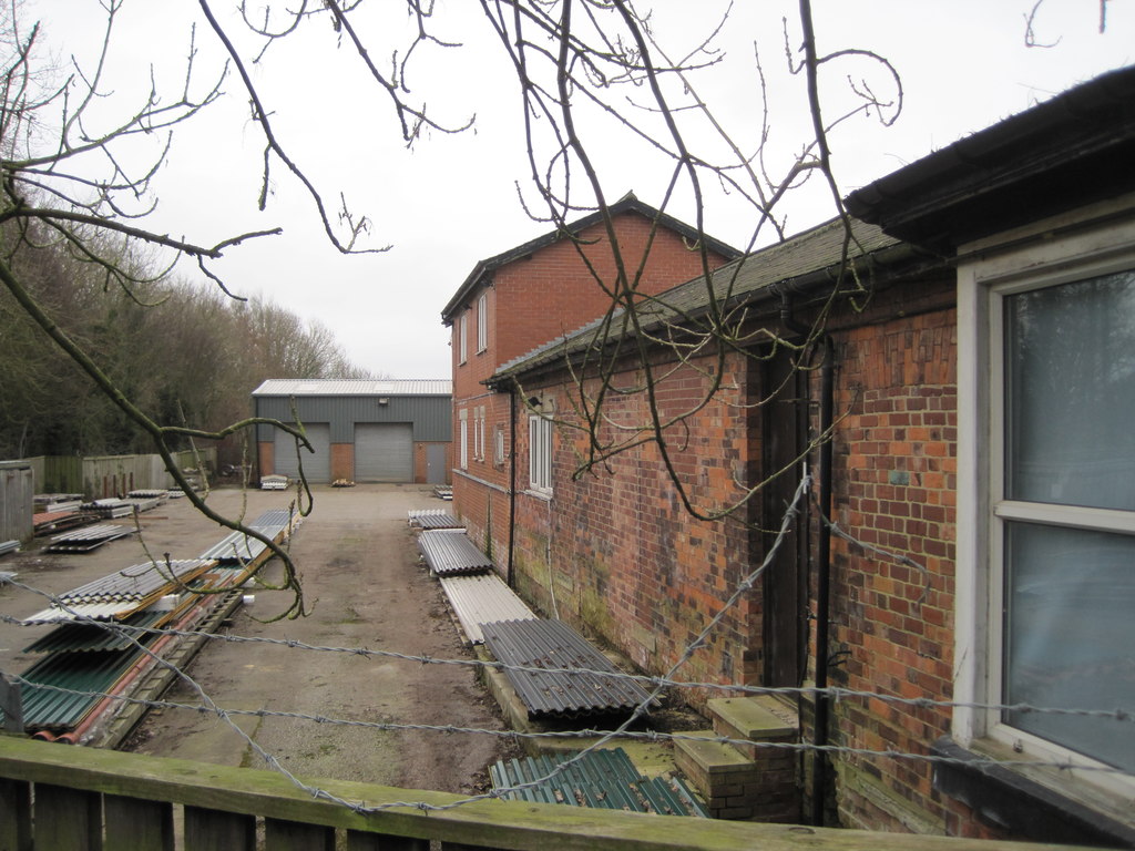
Fishpond Plantation Images
Images are sourced within 2km of 54.04235/-1.5360546 or Grid Reference SE3060. Thanks to Geograph Open Source API. All images are credited.


Fishpond Plantation is located at Grid Ref: SE3060 (Lat: 54.04235, Lng: -1.5360546)
Division: West Riding
Administrative County: North Yorkshire
District: Harrogate
Police Authority: North Yorkshire
What 3 Words
///compound.salary.bleaker. Near Knaresborough, North Yorkshire
Related Wikis

Nidd Hall
Nidd Hall was a 19th-century country house, now a hotel, in the village of Nidd, North Yorkshire, England. It is a Grade II listed building. It is constructed...

Nidd
Nidd is a small village and civil parish in the Harrogate district of North Yorkshire, England. The population of the village taken at the 2011 census...
Nidd Bridge railway station
Nidd Bridge railway station served the village of Nidd, North Yorkshire, England from 1848 to 1964 on the Leeds-Northallerton Railway. == History == The...

Nidderdale Greenway
The Nidderdale Greenway is a 4-mile (6.4 km) path that runs between Harrogate and Ripley in North Yorkshire, England. It uses a former railway line that...
Brearton
Brearton is a village and civil parish in the Harrogate borough of North Yorkshire, England, situated about 3 miles (4.8 km) north of Knaresborough. The...

Ripley Town Hall, North Yorkshire
Ripley Town Hall is a municipal building in Main Street, Ripley, North Yorkshire, England. The structure, which is used as an events venue and as a post...

Ripley, North Yorkshire
Ripley is a town and civil parish in North Yorkshire in England, a few miles north of Harrogate on the A61 road towards Ripon. The town name derives from...

Ripley Castle
Ripley Castle is a Grade I listed 14th-century country house in Ripley, North Yorkshire, England, 3 miles (4.8 km) north of Harrogate.The house is built...
Nearby Amenities
Located within 500m of 54.04235,-1.5360546Have you been to Fishpond Plantation?
Leave your review of Fishpond Plantation below (or comments, questions and feedback).