Detling

Settlement in Kent Maidstone

England

Detling

Hermitage Lane, Detling A steep track leading to part of the North Downs Way to the west of the village.
Hermitage Lane, Detling Credit: pam fray

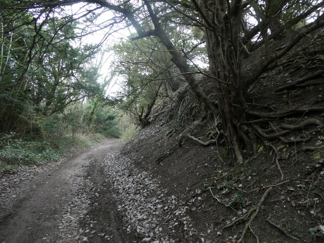
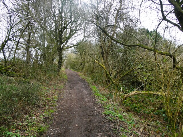
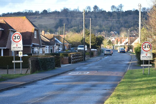
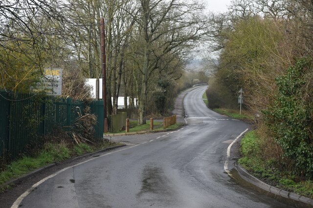
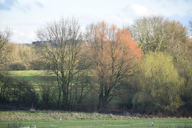
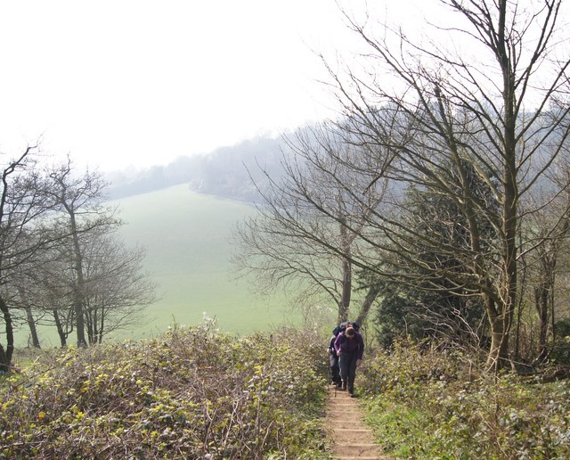
Detling is a small village located in the county of Kent, in southeastern England. Situated approximately 4 miles east of Maidstone, the village is nestled at the foot of the North Downs, providing picturesque views and access to beautiful countryside.

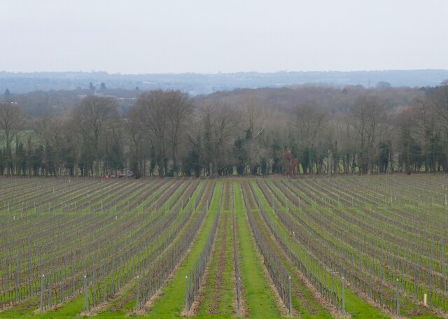
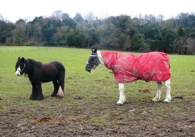
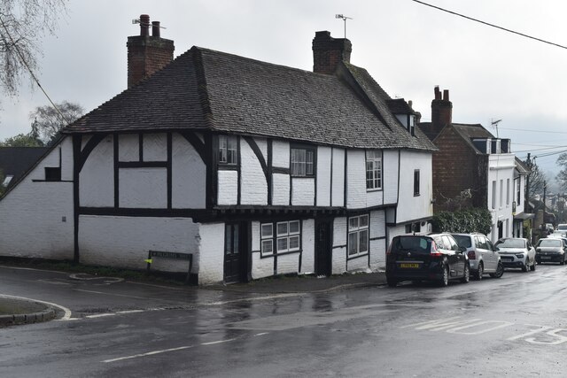
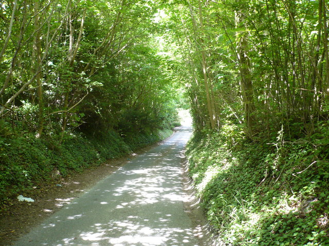
Historically, Detling was an agricultural community, with farming and fruit growing being the main industries. The village has retained its rural charm, with a scattering of traditional cottages and a few local businesses, including a pub and a farm shop.

Detling is perhaps best known for its annual events held at the Kent County Showground, which is located on the outskirts of the village. The showground hosts a variety of events throughout the year, including the Kent County Show, which showcases the best of the county's agriculture and rural life. The location also hosts various trade shows, exhibitions, and concerts, attracting visitors from all over the region.

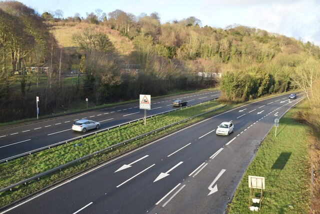
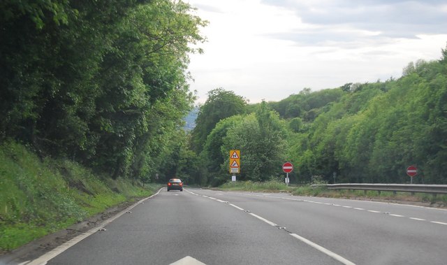
The village is well-connected to other parts of Kent, with easy access to the M20 motorway, which links to London and the Channel Tunnel. The nearby town of Maidstone provides further amenities, including shopping centers, schools, and healthcare facilities.

Detling offers a peaceful and idyllic setting, making it popular with those seeking a quieter lifestyle while still being within reach of larger towns and cities. With its stunning countryside, thriving community, and easy access to amenities, Detling remains a desirable place to live and visit in Kent.

If you have any feedback on the listing, please let us know in the comments section below.
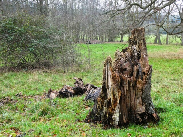
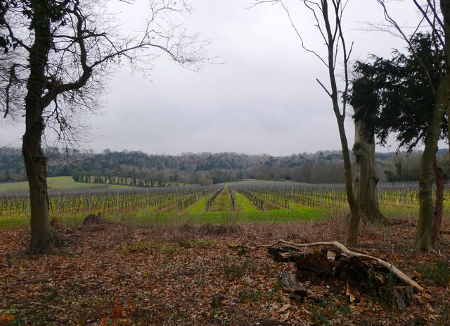
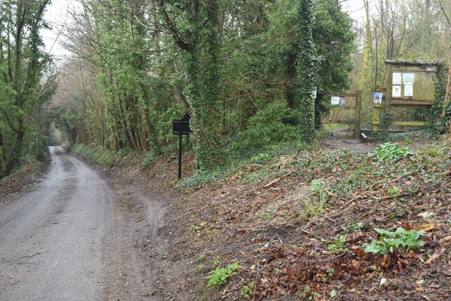
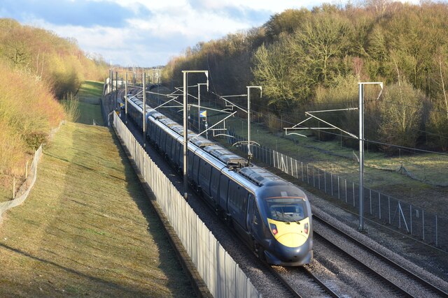
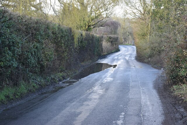
Detling Images

Images are sourced within 2km of 51.293959/0.569609 or Grid Reference TQ7958. Thanks to Geograph Open Source API. All images are credited.

Hermitage Lane, Detling A steep track leading to part of the North Downs Way to the west of the village.
Hermitage Lane, Detling
A steep track leading to part of the North Downs Way to the west of the village.
North Downs Way, near Detling
Farmland near Detling North west of the village by Pilgrims Way.
Farmland near Detling
North west of the village by Pilgrims Way.
Horse and pony, Boxley Riding School On Pilgrims Way.
Horse and pony, Boxley Riding School
On Pilgrims Way.
Dead tree near Harple Lane, Detling By the footpath running between Boxley Church and Harple Lane.
Dead tree near Harple Lane, Detling
By the footpath running between Boxley Church and Harple Lane.
Farmland near Detling Looking across to Pilgrims Way from the footpath running between Boxley Church and Harple Lane.
Farmland near Detling
Looking across to Pilgrims Way from the footpath running between Boxley Church and Harple Lane.
Timber-framed houses in The Street, Detling
A249 at Detling Hill Seen from the footbridge at <a href="https://www.geograph.org.uk/photo/3043084">TQ7958 : Jade's Crossing, Detling</a>
A249 at Detling Hill
Seen from the footbridge at TQ7958 : Jade's Crossing, Detling
Pilgrims Way, northwest of Detling On the right is an entrance to The Larches, an area of woodland managed by Kent Wildlife Trust.
Pilgrims Way, northwest of Detling
On the right is an entrance to The Larches, an area of woodland managed by Kent Wildlife Trust.
Eastbound Javelin train on the HS1 route at Detling
Detling Village from the south With the line of Detling Hill beyond.
Detling Village from the south
With the line of Detling Hill beyond.
Puddle in Hockers Lane
Hockers Lane Looking past the waterworks entrance towards the M20 bridge.
Hockers Lane
Looking past the waterworks entrance towards the M20 bridge.
Trees and fields south of the M20
Path into The Larches Area of woodland managed by Kent Wildlife Trust, seen on a very wet and misty morning.
Path into The Larches
Area of woodland managed by Kent Wildlife Trust, seen on a very wet and misty morning.
Path on the edge of Pope's Wood
Steps on the North Downs Way A nice Spring day on the North Downs Way
Steps on the North Downs Way
A nice Spring day on the North Downs Way
The top of Detling Hill (A249) The A249 is a road running from Maidstone to Sheerness on the Isle of Sheppey. It mainly functions as a link between the M2 and M20 motorways,up Detling Hill and for goods vehicle traffic to the port at Sheerness.
In 2006, an upgraded dual carriageway section opened between Iwade and Queenborough, including a new fixed crossing over the Swale. The existing lifting Kingsferry Bridge has been retained as an alternative route.
The old Sheppey way runs parallel to the new road.
Wikipedia: <span class="nowrap"><a title="http://en.wikipedia.org/wiki/A249_road" rel="nofollow ugc noopener" href="http://en.wikipedia.org/wiki/A249_road">Link</a><img style="margin-left:2px;" alt="External link" title="External link - shift click to open in new window" src="https://s1.geograph.org.uk/img/external.png" width="10" height="10"/></span>
The top of Detling Hill (A249)
The A249 is a road running from Maidstone to Sheerness on the Isle of Sheppey. It mainly functions as a link between the M2 and M20 motorways,up Detling Hill and for goods vehicle traffic to the port at Sheerness. In 2006, an upgraded dual carriageway section opened between Iwade and Queenborough, including a new fixed crossing over the Swale. The existing lifting Kingsferry Bridge has been retained as an alternative route. The old Sheppey way runs parallel to the new road. Wikipedia: LinkExternal link
Show me another place!

Detling is located at Grid Ref: TQ7958 (Lat: 51.293959, Lng: 0.569609)

Administrative County: Kent

District: Maidstone

Police Authority: Kent

What 3 Words

///social.campfires.careless. Near Maidstone, Kent

Related Wikis

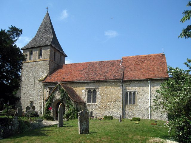
St Martin of Tours Church, Detling

St Martin of Tours is a parish church in Detling, Kent. Dedicated to Martin of Tours, the building was constructed in the 12th century with 13th and 15th...

Detling

Detling is a village and civil parish in the Borough of Maidstone in Kent, England. The parish is located on the slope of the North Downs, 4 miles (6...

Jade's Crossing

Jade's Crossing is a footbridge in Detling, Kent, England. The footbridge crosses the A249, a major road which runs between Maidstone and Sheerness. The...
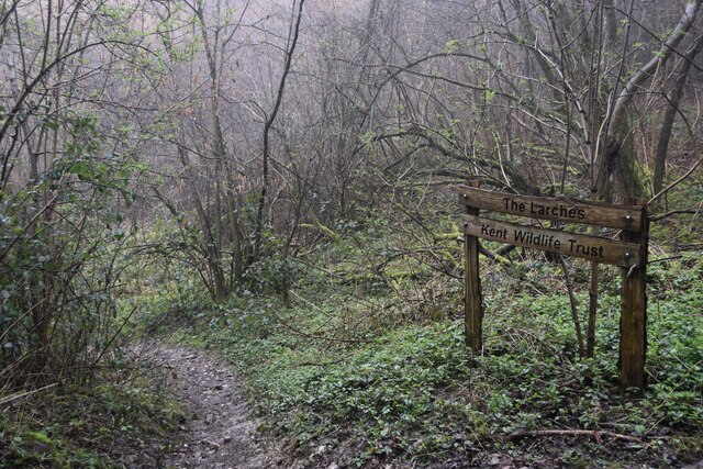
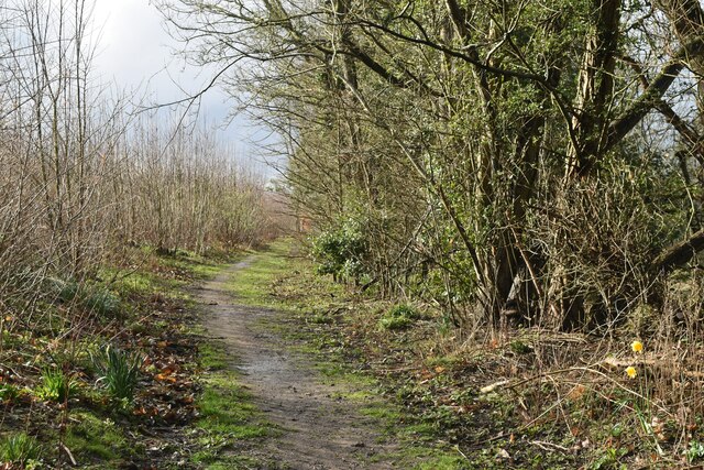
The Larches, Kent

The Larches is a 25-hectare (62-acre) nature reserve north of Detling, which is north of Maidstone in Kent. It is managed by Kent Wildlife Trust. It is...

Kent Downs

The Kent Downs is an Area of Outstanding Natural Beauty (AONB) in Kent, England. They are the eastern half of the North Downs and stretch from the London/Surrey...

Kent County Show

The Kent County Show is an event hosted annually by the Kent County Agricultural Society at their Kent Showground headquarters at Detling near Maidstone...
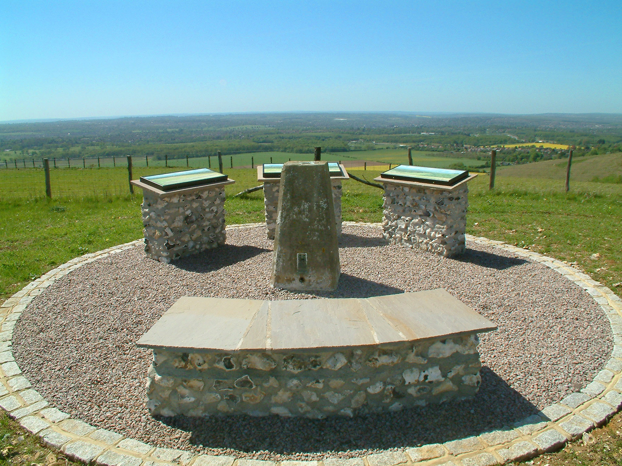
Detling Hill

Detling Hill is a hill forming part of the North Downs in Kent, north-east of Maidstone, and is situated in the Kent Downs Area of Outstanding Natural...

St Mary the Virgin Church, Thurnham

St Mary the Virgin is a small parish church in Thurnham, Kent. Begun in the 12th century, it is a Grade I listed building. == Building == The church was...

Nearby Amenities

Located within 500m of 51.293959,0.569609
Bus Stop
Jade's Crossing
Local Ref: E-bound
Naptan AtcoCode: 2400A011750A
Naptan Bearing: E
Naptan BusStopType: MKD
Naptan CommonName: Jade's Crossing
Naptan Indicator: E-bound
Naptan Landmark: Pilgrims Way
Naptan NaptanCode: kntamtdt
Naptan RevisionNumber: 5
Naptan Status: act
Naptan Street: A249 Detling Hill
Naptan Verified: no
Public Transport: platform
Ref: kntamtdt
Shelter: no
Source: naptan_import
Source Date: 2018-06-05
Lat/Long: 51.2967339/0.568495
Bus Stop
Village Hall
Local Ref: opp
Naptan AtcoCode: 2400A011840A
Naptan Bearing: E
Naptan BusStopType: MKD
Naptan CommonName: Village Hall
Naptan Indicator: opp
Naptan Landmark: Village Hall
Naptan NaptanCode: kntamtja
Naptan RevisionNumber: 6
Naptan Status: act
Naptan Street: Pilgrims Wy
Naptan Verified: no
Public Transport: platform
Ref: kntamtja
Source: naptan_import
Source Date: 2018-06-05
Lat/Long: 51.2963233/0.5687589
Bus Stop
The Street
Local Ref: S-bound
Naptan AtcoCode: 2400A011850A
Naptan Bearing: S
Naptan BusStopType: MKD
Naptan CommonName: The Street
Naptan Indicator: S-bound
Naptan Landmark: Chiltern Place
Naptan NaptanCode: kntamtjd
Naptan RevisionNumber: 5
Naptan Status: act
Naptan Street: The Street
Naptan Verified: no
Public Transport: platform
Ref: kntamtjd
Shelter: yes
Source: naptan_import
Source Date: 2013-11-01
Lat/Long: 51.2947292/0.5700901
Bus Stop
The Cock Horse
Local Ref: adj
Naptan AtcoCode: 2400A011860A
Naptan Bearing: N
Naptan BusStopType: MKD
Naptan CommonName: The Cock Horse
Naptan Indicator: adj
Naptan Landmark: The Cock Horse
Naptan NaptanCode: kntamtjg
Naptan RevisionNumber: 3
Naptan Status: act
Naptan Street: The Street
Naptan Verified: no
Public Transport: platform
Ref: kntamtjg
Source: naptan_import
Source Date: 2018-06-05
Lat/Long: 51.2957228/0.5703034
Bus Stop
Church
Local Ref: adj
Naptan AtcoCode: 2400A011870A
Naptan Bearing: E
Naptan BusStopType: MKD
Naptan CommonName: Church
Naptan Indicator: adj
Naptan Landmark: Detling Church
Naptan NaptanCode: kntamtjm
Naptan RevisionNumber: 2
Naptan Status: act
Naptan Street: The Street
Naptan Verified: no
Public Transport: platform
Ref: kntamtjm
Source: naptan_import
Source Date: 2011-01-05
Lat/Long: 51.2942688/0.5677118
Power: tower
Lat/Long: 51.290412/0.5664153
Power: tower
Lat/Long: 51.2895525/0.5698055
Turning Circle
Lat/Long: 51.2941948/0.572343
Speed Camera
Maxspeed: 50 mph
Lat/Long: 51.2965689/0.5712057
Speed Camera
Maxspeed: 50 mph
Lat/Long: 51.2958344/0.5653193
Post Box
Operator: Royal Mail
Post Box Type: lamp
Ref: ME14 322D
Lat/Long: 51.2905952/0.5679482
Post Box
Operator: Royal Mail
Post Box Mounting: brick_pillar
Post Box Type: wall
Ref: ME14 144
Royal Cypher: GVIR
Royal Cypher Wikidata: Q33102169
Lat/Long: 51.2949891/0.5701745
Bus Stop
Village Hall
Local Ref: adj
Naptan AtcoCode: 2400A033870A
Naptan Bearing: W
Naptan BusStopType: CUS
Naptan CommonName: Village Hall
Naptan Indicator: adj
Naptan Landmark: Village Hall
Naptan NaptanCode: kntdmagw
Naptan RevisionNumber: 4
Naptan Status: act
Naptan Street: Pilgrims Way
Naptan Verified: no
Public Transport: platform
Ref: kntdmagw
Sign: no
Source: naptan_import
Source Date: 2016-04-14
Lat/Long: 51.2962266/0.5690691
Generator Method: photovoltaic
Generator Output Electricity: yes
Generator Source: solar
Generator Type: solar_photovoltaic_panel
Location: surface
Power: generator
Lat/Long: 51.2963566/0.5738318
Generator Method: photovoltaic
Generator Output Electricity: yes
Generator Source: solar
Generator Type: solar_photovoltaic_panel
Location: roof
Power: generator
Lat/Long: 51.2954929/0.5716981
Generator Method: photovoltaic
Generator Output Electricity: yes
Generator Source: solar
Generator Type: solar_photovoltaic_panel
Location: roof
Power: generator
Lat/Long: 51.2955457/0.5715372
Generator Method: photovoltaic
Generator Output Electricity: yes
Generator Source: solar
Generator Type: solar_photovoltaic_panel
Location: roof
Power: generator
Lat/Long: 51.2947591/0.5724867
Generator Method: photovoltaic
Generator Output Electricity: yes
Generator Source: solar
Generator Type: solar_photovoltaic_panel
Location: roof
Power: generator
Lat/Long: 51.2949834/0.5695376
Generator Method: photovoltaic
Generator Output Electricity: yes
Generator Source: solar
Generator Type: solar_photovoltaic_panel
Location: roof
Power: generator
Lat/Long: 51.291906/0.5683091
Generator Method: photovoltaic
Generator Output Electricity: yes
Generator Source: solar
Generator Type: solar_photovoltaic_panel
Location: roof
Power: generator
Lat/Long: 51.2910674/0.5685116
Generator Method: photovoltaic
Generator Output Electricity: yes
Generator Source: solar
Generator Type: solar_photovoltaic_panel
Location: roof
Power: generator
Lat/Long: 51.2910632/0.5685666
Bench
Lat/Long: 51.294956/0.5701854
Telephone
Defibrillator
Booth: K6
Covered: booth
Defibrillator Location: inside old red phone box, The Street, Detling
Emergency: defibrillator
Listed Status: Grade II
Man Made: telephone_box
Lat/Long: 51.2949066/0.5701599
Advertising: board
Lat/Long: 51.2948269/0.5701371
The data included in this document is from www.openstreetmap.org. The data is made available under ODbL.

Have you been to Detling?

Leave your review of Detling below (or comments, questions and feedback).