Bunkers Plantation

Wood, Forest in Yorkshire Hambleton

England

Bunkers Plantation

Road to Carthorpe On the left is the entrance to 'Aerial Extreme' at Camp Hill.
Road to Carthorpe Credit: Christine Johnstone

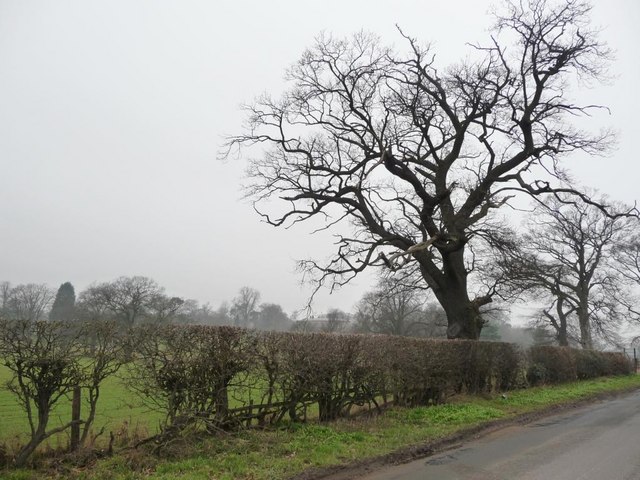
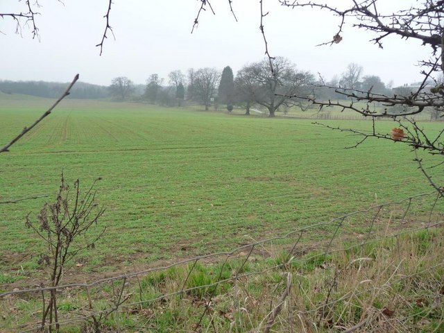
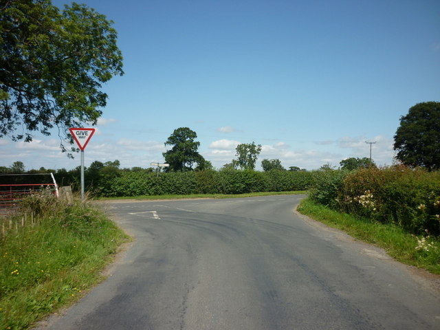
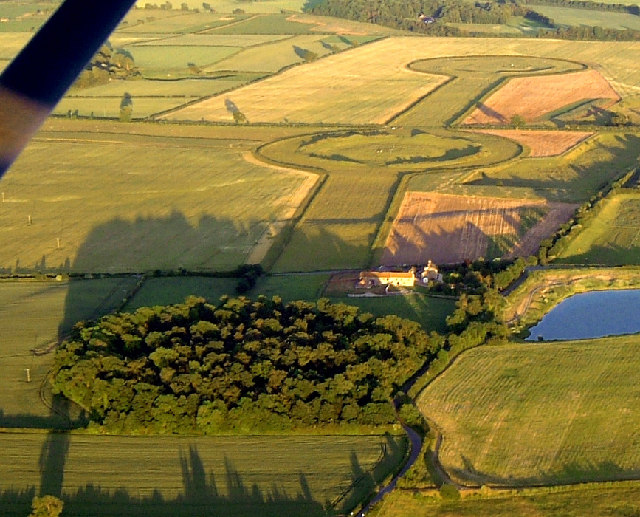
Bunkers Plantation, located in Yorkshire, is a captivating woodland area renowned for its natural beauty and rich history. Situated within the North York Moors National Park, this enchanting forest covers an expansive area of approximately 500 acres.

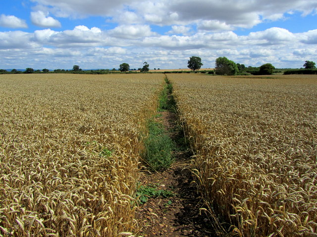
The woodland is predominantly composed of native species, such as oak, beech, and birch trees, which create a diverse and vibrant ecosystem. Bunkers Plantation is also home to an array of wildlife, including deer, badgers, and various bird species, making it an ideal location for nature enthusiasts and wildlife photographers.

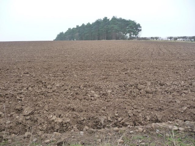
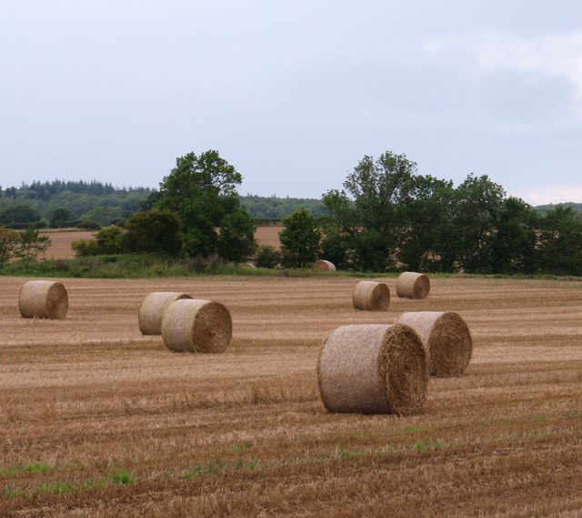
The history of Bunkers Plantation dates back centuries, with evidence of human activity found within the forest. The remains of an Iron Age hillfort, known as Bunkers Hill, can still be seen today, providing visitors with a glimpse into the region's ancient past. Additionally, the plantation was historically used for timber production, supplying wood for various industries throughout Yorkshire.

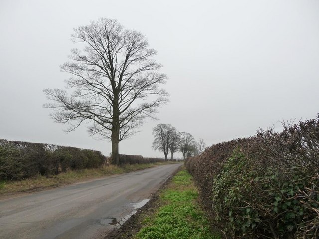
The forest offers a range of recreational activities for visitors to enjoy, such as walking, hiking, and picnicking. There are numerous trails and paths that wind through the woodland, allowing visitors to explore its hidden corners and discover its natural wonders.

Bunkers Plantation also boasts breathtaking panoramic views, with vistas overlooking the surrounding countryside and rolling hills of Yorkshire. These vistas provide a picturesque backdrop for photographers and nature lovers alike.

In summary, Bunkers Plantation is a captivating woodland area in Yorkshire, offering a blend of natural beauty, historical significance, and recreational opportunities. Whether it's for a leisurely stroll or an immersive nature experience, this forest is sure to leave a lasting impression on all who visit.

If you have any feedback on the listing, please let us know in the comments section below.

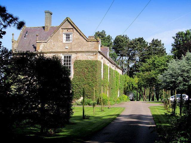
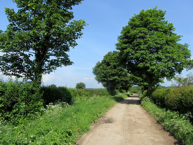
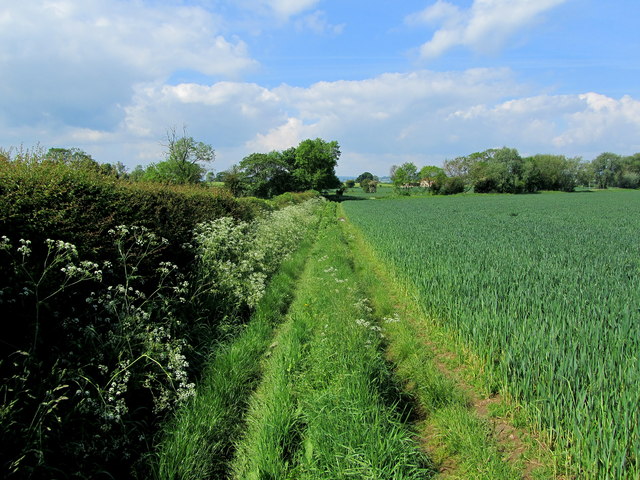
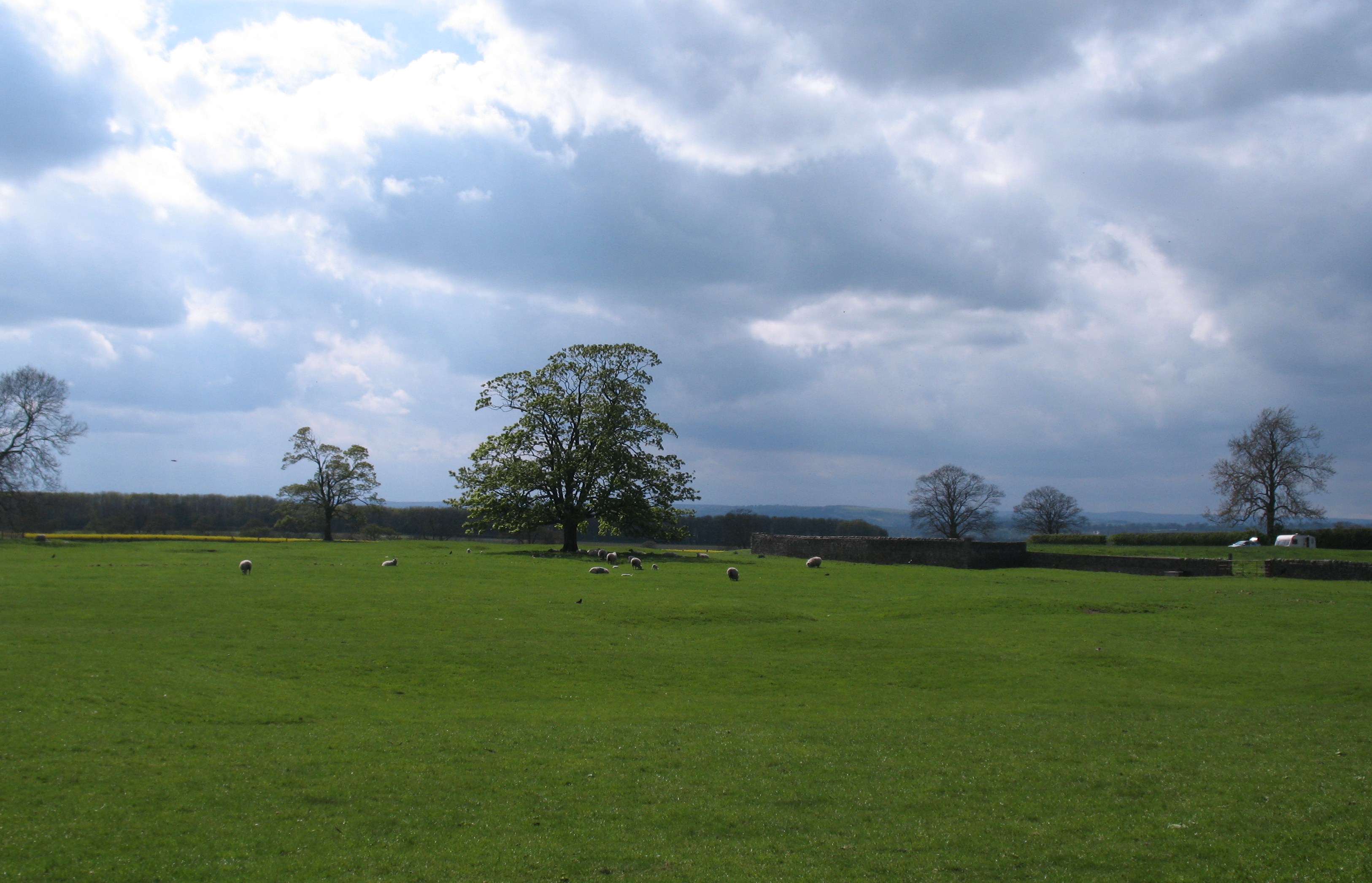
Bunkers Plantation Images

Images are sourced within 2km of 54.227937/-1.5345754 or Grid Reference SE3081. Thanks to Geograph Open Source API. All images are credited.

Road to Carthorpe On the left is the entrance to 'Aerial Extreme' at Camp Hill.
Road to Carthorpe
On the left is the entrance to 'Aerial Extreme' at Camp Hill.
Bare tree in a well-trimmed hedgerow On the west side of the road to Carthorpe.
Bare tree in a well-trimmed hedgerow
On the west side of the road to Carthorpe.
Large arable field alongside drive Seen through a gap in a gappy hedge.
Large arable field alongside drive
Seen through a gap in a gappy hedge.
The road to Kirklington The dense and level hedges contrast with the open branching trees.
The road to Kirklington
The dense and level hedges contrast with the open branching trees.
Ploughed fields topped by conifers East of the road to Carthorpe.
Ploughed fields topped by conifers
East of the road to Carthorpe.
Moor Lane joins the road to Carthorpe
Arable land at Kirklington Straw bales in a field to the south of Kirklington village.
Arable land at Kirklington
Straw bales in a field to the south of Kirklington village.
Footpath leading away from Thornborough The area between the A1, A61 and the River Ure has very few public footpaths and bridleways - this is one of them, so I am glad to see the farmer responsible for this field of wheat has left provision for pedestrians.
Footpath leading away from Thornborough
The area between the A1, A61 and the River Ure has very few public footpaths and bridleways - this is one of them, so I am glad to see the farmer responsible for this field of wheat has left provision for pedestrians.
St. Michael the Archangel's Church, Kirklington The church and tower seen from the north east, just inside the lych gate.
St. Michael the Archangel's Church, Kirklington
The church and tower seen from the north east, just inside the lych gate.
Village Green at Kirklington The green appears to have been left to its own devices - it looks untidy, but is in a natural state.
Village Green at Kirklington
The green appears to have been left to its own devices - it looks untidy, but is in a natural state.
The Hall, Kirklington Seen from Whinwath Lane on the north western extremity of the village.  Originally built by Sir Christopher Wandesford circa 1570, the hall was much altered in the 18th and 19th centuries.
The Hall, Kirklington
Seen from Whinwath Lane on the north western extremity of the village. Originally built by Sir Christopher Wandesford circa 1570, the hall was much altered in the 18th and 19th centuries.
Plane Tree Buildings Farm outbuildings on Whinwath Lane near Kirklington
Plane Tree Buildings
Farm outbuildings on Whinwath Lane near Kirklington
Whinwath Lane (1) Pleasant track contained within hedgerows leading towards Red House from the village of Kirklington.
Whinwath Lane (1)
Pleasant track contained within hedgerows leading towards Red House from the village of Kirklington.
Whinwath Lane (2) Pleasant country track betwixt hedgerows, that describes a zig zag course to its ultimate destination at Red House
Whinwath Lane (2)
Pleasant country track betwixt hedgerows, that describes a zig zag course to its ultimate destination at Red House
Whinwath Lane (3) Pleasant country track giving access between the village of Kirklington and Red House.
Whinwath Lane (3)
Pleasant country track giving access between the village of Kirklington and Red House.
Footpath in Upsland Public footpath having just left the track of Whinwath Lane heads beside this arable field, before swinging south towards Lime Lane.
Footpath in Upsland
Public footpath having just left the track of Whinwath Lane heads beside this arable field, before swinging south towards Lime Lane.
Kirklington village green (south side) Unlike many Yorkshire village greens, Kirklington has a number of very large trees growing.
Kirklington village green (south side)
Unlike many Yorkshire village greens, Kirklington has a number of very large trees growing.
Kirklington village green (east side)
Show me another place!

Bunkers Plantation is located at Grid Ref: SE3081 (Lat: 54.227937, Lng: -1.5345754)

Division: North Riding

Administrative County: North Yorkshire

District: Hambleton

Police Authority: North Yorkshire

What 3 Words

///crowds.constrain.port. Near Bedale, North Yorkshire

Related Wikis

Kirklington-cum-Upsland

Kirklington-cum-Upsland is a civil parish in the Hambleton district of North Yorkshire, England. The main settlement is Kirklington. Upsland is a single...

Kirklington, North Yorkshire

Kirklington is a village in the English county of North Yorkshire close to the A1(M) motorway. Kirklington forms the major part of the civil parish of...

Thornborough, North Yorkshire

Thornborough is a village in Hambleton District of North Yorkshire, England. It is about 7 miles (11 km) south of Bedale and 3 miles (5 km) west of the...

Howgrave

Howgrave is a civil parish in the Hambleton District of North Yorkshire, England. It is a very small parish, with an area of only 323 acres (131 ha) and...

Carthorpe

Carthorpe is a small village and civil parish in North Yorkshire, England. It is located about 4 miles (6.4 km) south of Bedale. Village services include...

Thornborough Henges

The Thornborough Henges are an unusual ancient monument complex that includes the three aligned henges that give the site its name. They are located on...

Hallikeld

Hallikeld was a Wapentake (Hundred), which is an administrative division (or ancient district), in the historic county of the North Riding of Yorkshire...

Nosterfield

Nosterfield is a hamlet within the civil parish of West Tanfield in the Hambleton district of North Yorkshire, England formerly used for quarrying. Several...

Have you been to Bunkers Plantation?

Leave your review of Bunkers Plantation below (or comments, questions and feedback).