Goodwin's Wood

Wood, Forest in Derbyshire Derbyshire Dales

England

Goodwin's Wood

Sandy Lane heading to Sandy Lane Farm
Sandy Lane heading to Sandy Lane Farm Credit: Neil Theasby

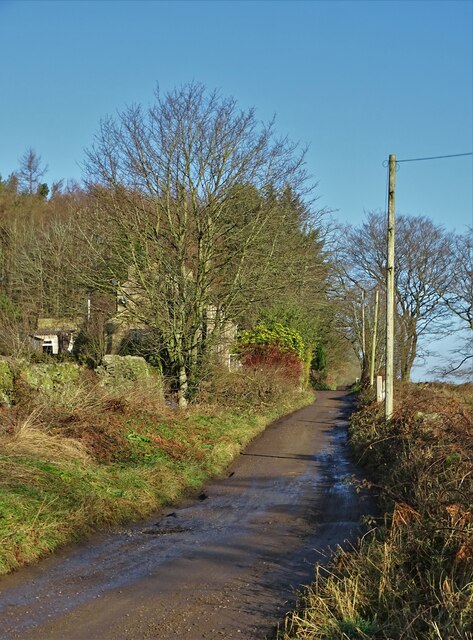
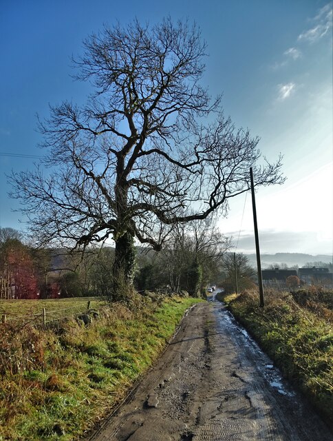
Goodwin's Wood is a picturesque forest located in Derbyshire, England. It spans approximately 200 acres and is nestled within the rolling hills and lush greenery of the Peak District National Park. The wood is a popular destination for nature lovers, hikers, and wildlife enthusiasts.

The forest is predominantly composed of native tree species such as oak, beech, and birch, which create a dense canopy, providing shade and shelter to a wide variety of flora and fauna. The woodland floor is adorned with a stunning display of wildflowers during the spring and summer months, adding a burst of color to the already breathtaking landscape.

Goodwin's Wood is home to a rich and diverse ecosystem, housing numerous species of birds, mammals, and insects. Birdwatchers can spot species like woodpeckers, owls, and various songbirds, while mammals such as deer, foxes, and rabbits can be glimpsed among the trees. The forest is also a haven for butterflies, with several species fluttering around the wildflowers.

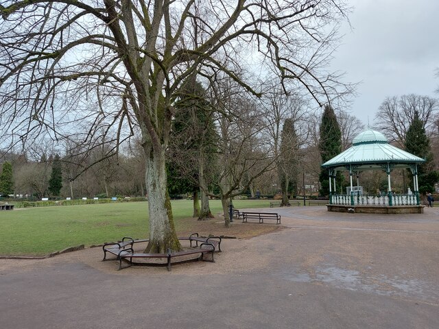
The wood offers a network of well-maintained trails and footpaths, allowing visitors to explore its natural beauty. Whether it's a leisurely stroll or a more challenging hike, there is something for every level of adventurer. Along the trails, there are conveniently placed benches and picnic areas, providing opportunities for visitors to relax and enjoy the serene surroundings.

Goodwin's Wood is not only a place of natural beauty but also a site of historical significance. It has been protected and preserved for generations, providing a glimpse into the ancient woodlands of England. Its tranquil atmosphere and stunning vistas make it a must-visit destination for those seeking solace in nature.

If you have any feedback on the listing, please let us know in the comments section below.

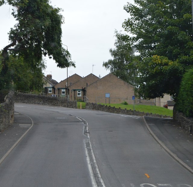
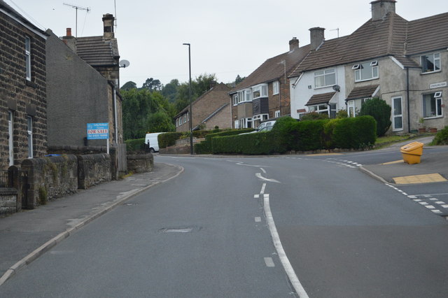
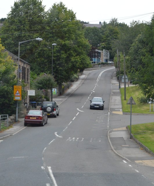
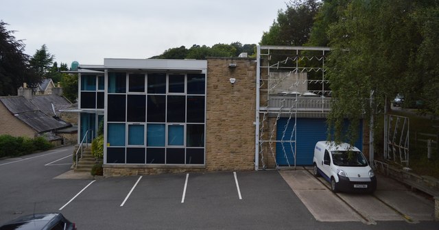
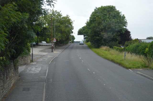
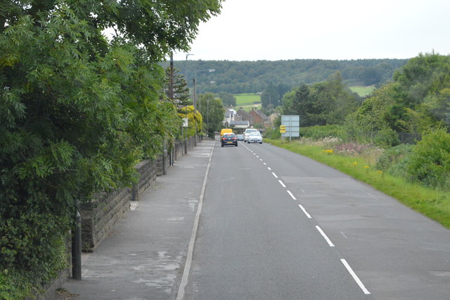
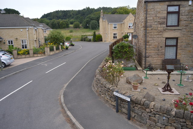
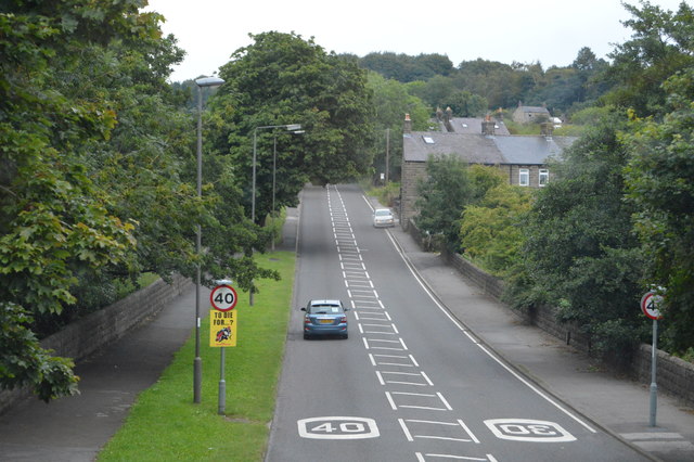
Goodwin's Wood Images

Images are sourced within 2km of 53.15045/-1.5465861 or Grid Reference SK3061. Thanks to Geograph Open Source API. All images are credited.

Sandy Lane heading to Sandy Lane Farm
View to Riber Castle Over the rooftops of Gritstone Road. Riber Castle can be seen through misty air as a high pressure weather system settles over England.
View to Riber Castle
Over the rooftops of Gritstone Road. Riber Castle can be seen through misty air as a high pressure weather system settles over England.
View to the tower of Smedley's Hydro Seen from Wellington Street. Smedley's Hydro was a hydropathic facility developed in the second half of the nineteenth century. In the 1950's the old building was taken over by Derbyshire County Council, becoming the organisations administrative hub. The mist in the valley was related to a high pressure weather system settling over the north of England. The illuminated building on the corner was part of the old Matlock tram depot.
View to the tower of Smedley's Hydro
Seen from Wellington Street. Smedley's Hydro was a hydropathic facility developed in the second half of the nineteenth century. In the 1950's the old building was taken over by Derbyshire County Council, becoming the organisations administrative hub. The mist in the valley was related to a high pressure weather system settling over the north of England. The illuminated building on the corner was part of the old Matlock tram depot.
Former tram depot on Matlock Bank
Sandy Lane heading to Chesterfield Road The surface of this lane is dreadful. Speaking from personal experience, it is inadvisable to drive low-slung saloon cars along it.
Sandy Lane heading to Chesterfield Road
The surface of this lane is dreadful. Speaking from personal experience, it is inadvisable to drive low-slung saloon cars along it.
Hall Leys Park, Matlock
Steep Turnpike
Steep Turnpike
A615 The A615 runs 8 miles from Matlock to Alfreton.
<span class="nowrap"><a title="http://www.sabre-roads.org.uk/wiki/index.php?title=A615" rel="nofollow ugc noopener" href="http://www.sabre-roads.org.uk/wiki/index.php?title=A615">Link</a><img style="margin-left:2px;" alt="External link" title="External link - shift click to open in new window" src="https://s1.geograph.org.uk/img/external.png" width="10" height="10"/></span>
A615
The A615 runs 8 miles from Matlock to Alfreton. LinkExternal link
A632 The A632 is a non-primary A-road connecting the Peak District with the Dukeries. It runs 22 miles from Matlock to Cuckney, via Chesterfield.
<span class="nowrap"><a title="http://www.sabre-roads.org.uk/wiki/index.php?title=A632" rel="nofollow ugc noopener" href="http://www.sabre-roads.org.uk/wiki/index.php?title=A632">Link</a><img style="margin-left:2px;" alt="External link" title="External link - shift click to open in new window" src="https://s1.geograph.org.uk/img/external.png" width="10" height="10"/></span>
A632
The A632 is a non-primary A-road connecting the Peak District with the Dukeries. It runs 22 miles from Matlock to Cuckney, via Chesterfield. LinkExternal link
A632, Lime Tree Rd The A632 is a non-primary A-road connecting the Peak District with the Dukeries. It runs 22 miles from Matlock to Cuckney, via Chesterfield.
<span class="nowrap"><a title="http://www.sabre-roads.org.uk/wiki/index.php?title=A632" rel="nofollow ugc noopener" href="http://www.sabre-roads.org.uk/wiki/index.php?title=A632">Link</a><img style="margin-left:2px;" alt="External link" title="External link - shift click to open in new window" src="https://s1.geograph.org.uk/img/external.png" width="10" height="10"/></span>
A632, Lime Tree Rd
The A632 is a non-primary A-road connecting the Peak District with the Dukeries. It runs 22 miles from Matlock to Cuckney, via Chesterfield. LinkExternal link
A632 The A632 is a non-primary A-road connecting the Peak District with the Dukeries. It runs 22 miles from Matlock to Cuckney, via Chesterfield.
<span class="nowrap"><a title="http://www.sabre-roads.org.uk/wiki/index.php?title=A632" rel="nofollow ugc noopener" href="http://www.sabre-roads.org.uk/wiki/index.php?title=A632">Link</a><img style="margin-left:2px;" alt="External link" title="External link - shift click to open in new window" src="https://s1.geograph.org.uk/img/external.png" width="10" height="10"/></span>
A632
The A632 is a non-primary A-road connecting the Peak District with the Dukeries. It runs 22 miles from Matlock to Cuckney, via Chesterfield. LinkExternal link
Building by the A632
Chesterfield Rd The A632 is a non-primary A-road connecting the Peak District with the Dukeries. It runs 22 miles from Matlock to Cuckney, via Chesterfield.
<span class="nowrap"><a title="http://www.sabre-roads.org.uk/wiki/index.php?title=A632" rel="nofollow ugc noopener" href="http://www.sabre-roads.org.uk/wiki/index.php?title=A632">Link</a><img style="margin-left:2px;" alt="External link" title="External link - shift click to open in new window" src="https://s1.geograph.org.uk/img/external.png" width="10" height="10"/></span>
Chesterfield Rd
The A632 is a non-primary A-road connecting the Peak District with the Dukeries. It runs 22 miles from Matlock to Cuckney, via Chesterfield. LinkExternal link
Duke of Wellington
Duke of Wellington
Chesterfield Rd The A632 is a non-primary A-road connecting the Peak District with the Dukeries. It runs 22 miles from Matlock to Cuckney, via Chesterfield.
<span class="nowrap"><a title="http://www.sabre-roads.org.uk/wiki/index.php?title=A632" rel="nofollow ugc noopener" href="http://www.sabre-roads.org.uk/wiki/index.php?title=A632">Link</a><img style="margin-left:2px;" alt="External link" title="External link - shift click to open in new window" src="https://s1.geograph.org.uk/img/external.png" width="10" height="10"/></span>
Chesterfield Rd
The A632 is a non-primary A-road connecting the Peak District with the Dukeries. It runs 22 miles from Matlock to Cuckney, via Chesterfield. LinkExternal link
Moorcroft
Moorcroft
Chesterfield Rd The A632 is a non-primary A-road connecting the Peak District with the Dukeries. It runs 22 miles from Matlock to Cuckney, via Chesterfield.
<span class="nowrap"><a title="http://www.sabre-roads.org.uk/wiki/index.php?title=A632" rel="nofollow ugc noopener" href="http://www.sabre-roads.org.uk/wiki/index.php?title=A632">Link</a><img style="margin-left:2px;" alt="External link" title="External link - shift click to open in new window" src="https://s1.geograph.org.uk/img/external.png" width="10" height="10"/></span>
Chesterfield Rd
The A632 is a non-primary A-road connecting the Peak District with the Dukeries. It runs 22 miles from Matlock to Cuckney, via Chesterfield. LinkExternal link
Show me another place!

Goodwin's Wood is located at Grid Ref: SK3061 (Lat: 53.15045, Lng: -1.5465861)

Administrative County: Derbyshire

District: Derbyshire Dales

Police Authority: Derbyshire

What 3 Words

///cherished.crusher.pickles. Near Matlock, Derbyshire

Nearby Locations

Goodwin's Wood Hurker Wood

Related Wikis

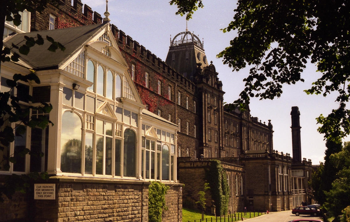
Highfields School, Matlock

Highfields School is a coeducational secondary school and sixth form located in Matlock, Derbyshire, England. At the time of its September 2012 Ofsted...

All Saints' Church, Matlock Bank

All Saints’ Church, Matlock Bank is a Grade II listed parish church in the Church of England in Matlock, Derbyshire. == History == A mission room and school...

County Hall, Matlock

The County Hall is a municipal building in Matlock, Derbyshire, England. The building, which was originally a hydropathic establishment but is now the...

Farley, Derbyshire

Farley is a hamlet in the Derbyshire Dales district, in the English county of Derbyshire. It is near the town of Matlock. The nearest main road is the...

Matlock Cable Tramway

Matlock Cable Tramway was a cable tramway that served the town of Matlock, Derbyshire, UK between 28 March 1893 and 30 September 1927. == History == The...
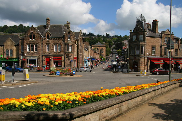
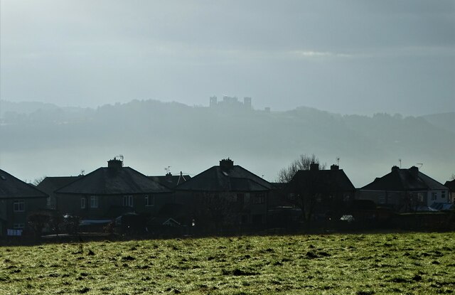
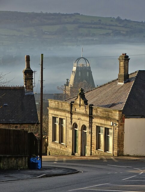
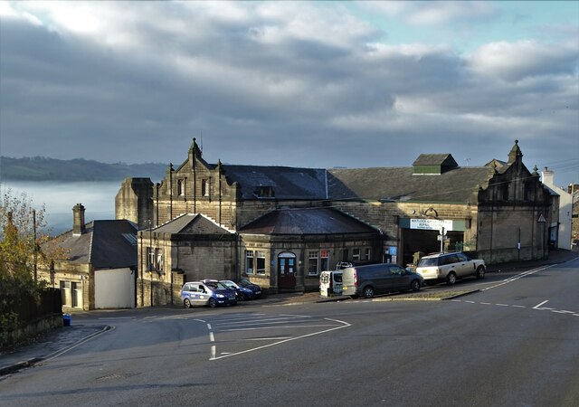
Matlock, Derbyshire

Matlock is the county town of Derbyshire, England. It is in the south-eastern part of the Peak District, with the National Park directly to the west....

Matlock Urban District

Matlock was an Urban District in Derbyshire, England from 1894 to 1974. It was created under the Local Government Act 1894. The district was abolished...

Bentley Brook

Bentley Brook is a stream in Derbyshire, England. It rises on Matlock Moor, flowing south through Cuckoostone Dale, under the A632, into Lumsdale, gathering...

Nearby Amenities

Located within 500m of 53.15045,-1.5465861
Barrier: entrance
Source: survey;gps
Lat/Long: 53.1503923/-1.5399097
Direction: S
Generator Method: photovoltaic
Generator Output Electricity: yes
Generator Solar Modules: 8
Generator Source: solar
Generator Type: solar_photovoltaic_panel
Location: roof
Power: generator
Lat/Long: 53.1470999/-1.5514114
Direction: W
Generator Method: photovoltaic
Generator Output Electricity: yes
Generator Solar Modules: 7
Generator Source: solar
Generator Type: solar_photovoltaic_panel
Location: roof
Power: generator
Lat/Long: 53.1471674/-1.5514355
Direction: ESE
Generator Method: photovoltaic
Generator Output Electricity: yes
Generator Source: solar
Generator Type: solar_photovoltaic_panel
Location: roof
Power: generator
Lat/Long: 53.1473035/-1.5513463
Generator Method: photovoltaic
Generator Output Electricity: yes
Generator Source: solar
Generator Type: solar_photovoltaic_panel
Location: roof
Power: generator
Lat/Long: 53.1468345/-1.5510314
Generator Method: photovoltaic
Generator Output Electricity: yes
Generator Source: solar
Generator Type: solar_photovoltaic_panel
Location: roof
Power: generator
Lat/Long: 53.1471003/-1.550436
Generator Method: photovoltaic
Generator Output Electricity: yes
Generator Source: solar
Generator Type: solar_photovoltaic_panel
Location: roof
Power: generator
Lat/Long: 53.1463876/-1.5482714
The data included in this document is from www.openstreetmap.org. The data is made available under ODbL.

Have you been to Goodwin's Wood?

Leave your review of Goodwin's Wood below (or comments, questions and feedback).