South Belt
Wood, Forest in Durham
England
South Belt

South Belt, Durham, also known as Wood or Forest, is a residential neighborhood located in the southeastern part of Durham, North Carolina. The community is situated near major transportation routes, including the Interstate 40 and the US Route 70, providing convenient access to other parts of the city and the surrounding areas.
The neighborhood is primarily composed of single-family homes, featuring a mix of architectural styles and designs. Many of the houses in South Belt were built in the late 20th century, offering a variety of sizes and layouts to accommodate different family sizes and preferences.
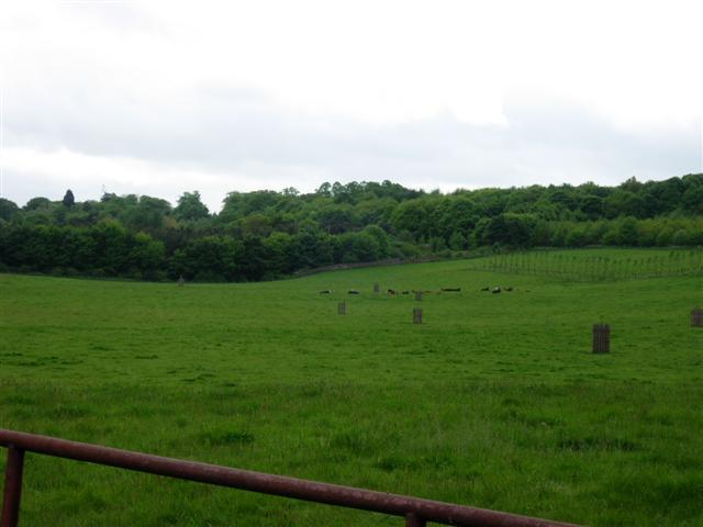
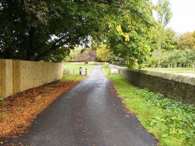
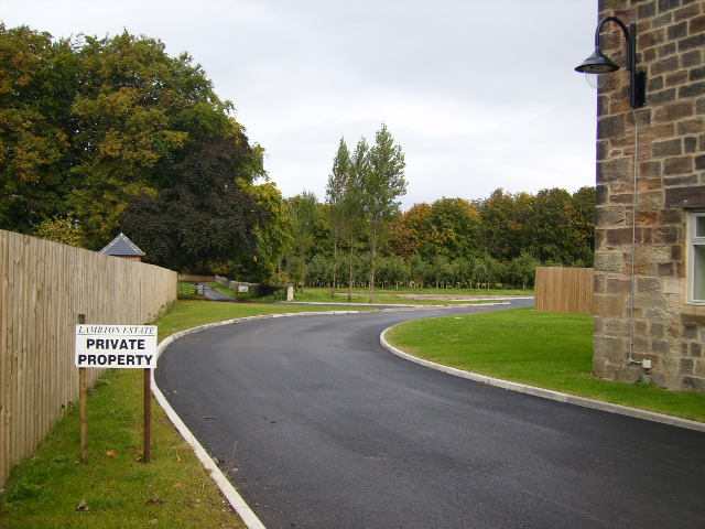
South Belt is known for its lush greenery and tree-lined streets, contributing to its tranquil and inviting atmosphere. The area is also home to several community parks and recreational facilities, providing residents with opportunities for outdoor activities and leisurely strolls. Additionally, the neighborhood is in close proximity to the beautiful Lake Michie and Little River Regional Park, offering residents access to scenic nature trails, picnic areas, and boating opportunities.
Residents of South Belt enjoy a strong sense of community, with various events and activities organized throughout the year. The neighborhood is served by several schools, including Forest View Elementary School and Southern School of Energy and Sustainability, making it an attractive location for families with school-aged children.
In terms of amenities, South Belt is conveniently located near shopping centers, grocery stores, and restaurants, providing residents with easy access to everyday necessities. Overall, South Belt, Durham (Wood, Forest) offers a serene and family-friendly living environment, with its well-maintained homes, abundant green spaces, and convenient location.
If you have any feedback on the listing, please let us know in the comments section below.
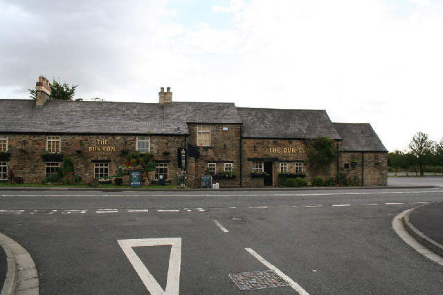
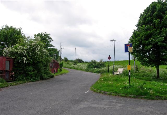
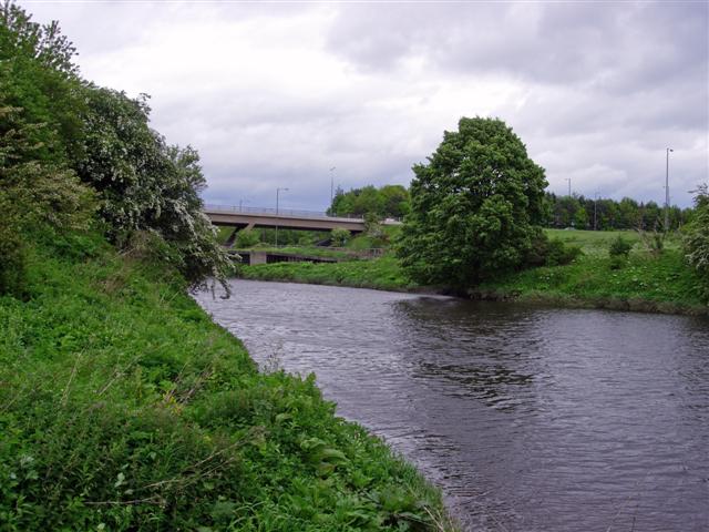
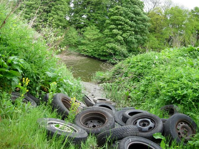
South Belt Images
Images are sourced within 2km of 54.860817/-1.528177 or Grid Reference NZ3051. Thanks to Geograph Open Source API. All images are credited.


South Belt is located at Grid Ref: NZ3051 (Lat: 54.860817, Lng: -1.528177)
Unitary Authority: County Durham
Police Authority: Durham
What 3 Words
///lake.apron.heave. Near Chester-le-Street, Co. Durham
Nearby Locations
Related Wikis

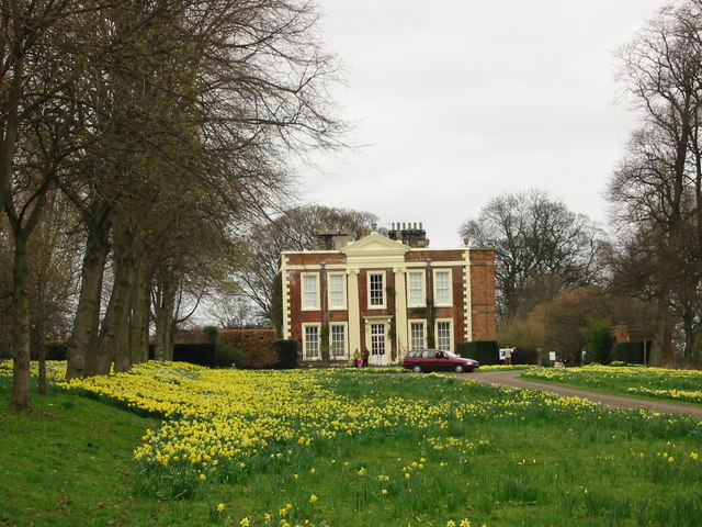
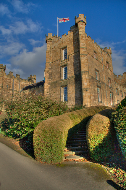
Lambton Castle
Lambton Castle stands above Chester-le-Street, County Durham and is a stately home, the ancestral seat of the Lambton family, the Earls of Durham. It is...

Bournmoor
Bournmoor ( or ) is a village in County Durham, England, and is situated a short distance from Chester-le-Street. It contains St Barnabas' Church, which...

New Lambton, County Durham
New Lambton is a village in County Durham, England, although the postal address is Tyne and Wear. It lies between the villages of Bournmoor and Fencehouses...
Biddick Hall (house)
Biddick Hall is a small privately owned 18th-century country mansion at Bournmoor, County Durham, near the City of Sunderland and Chester-le-Street. It...
Lumley Thicks
Lumley Thicks is a small village in County Durham, in England. It is situated between Chester-le-Street and Houghton-le-Spring, north of Great Lumley.

Woodstone Village
Woodstone Village is a hamlet in the civil parish of Little Lumley, in the County Durham district, in the ceremonial county of Durham, England. It neighbours...
Lumley Castle
Lumley Castle is a 14th-century quadrangular castle at Chester-le-Street in the North of England, near the city of Durham and a property of the Earl of...
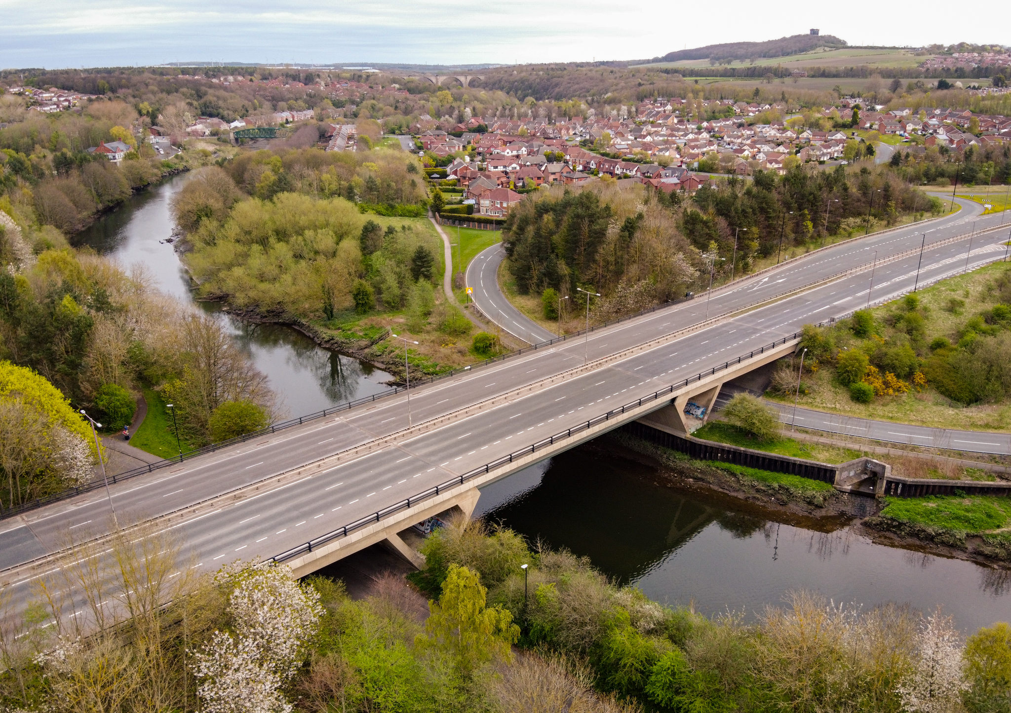
Chartershaugh Bridge
Chartershaugh Bridge is a road traffic bridge spanning the River Wear in North East England, linking Penshaw with Fatfield as part of the A182 road. The...
Nearby Amenities
Located within 500m of 54.860817,-1.528177Have you been to South Belt?
Leave your review of South Belt below (or comments, questions and feedback).