Borehole Plantation

Wood, Forest in Durham

England

Borehole Plantation

Hedge and farmland
Hedge and farmland Credit: N Chadwick

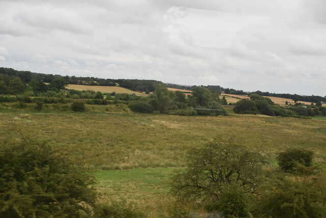
Borehole Plantation, located in Durham, is a sprawling woodland area that stretches across vast acres of land. This picturesque plantation is known for its rich biodiversity and is a popular destination for nature enthusiasts and hikers. The plantation mainly consists of dense woodlands, making it a serene and tranquil retreat away from the bustling city.

The woodland of Borehole Plantation is characterized by a variety of tree species, including oak, birch, beech, and pine. These trees stand tall and provide a beautiful canopy, offering shade and shelter to the numerous creatures that call this plantation home. The forest floor is covered with a lush carpet of moss and ferns, adding to the enchanting ambiance of the area.

This plantation is not only visually appealing but also serves as an important habitat for a diverse range of wildlife. Visitors to Borehole Plantation may spot various species of birds, such as woodpeckers, robins, and owls, as well as small mammals like squirrels, rabbits, and foxes. The plantation is also home to a variety of insects, including butterflies and beetles, which thrive in this natural ecosystem.

Numerous walking trails wind their way through the plantation, offering visitors the chance to explore and appreciate the beauty of the woodland. These pathways are well-maintained and provide hikers with an opportunity to immerse themselves in nature while enjoying the peaceful serenity of the surroundings. Borehole Plantation truly offers a haven for those seeking solace in the beauty of nature.

If you have any feedback on the listing, please let us know in the comments section below.

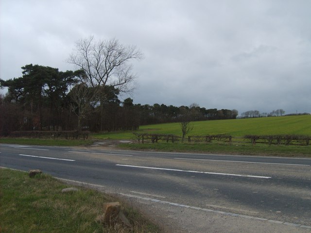
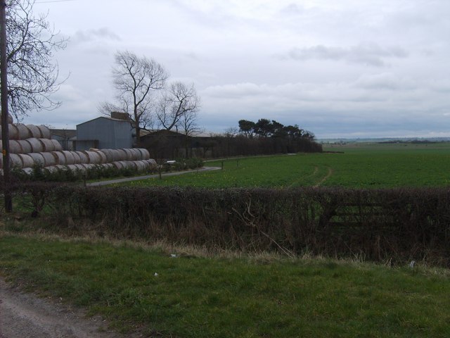
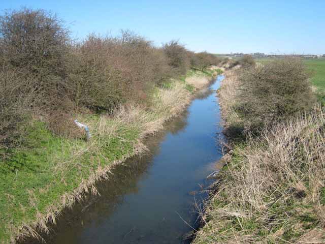
Borehole Plantation Images

Images are sourced within 2km of 54.653344/-1.5307528 or Grid Reference NZ3028. Thanks to Geograph Open Source API. All images are credited.

Hedge and farmland
Hedge and farmland
Land between the two railway lines
Railway Bridge :  Bradbury Over the East Coast Main Line. Looking toward Bradbury Village.
Railway Bridge : Bradbury
Over the East Coast Main Line. Looking toward Bradbury Village.
Bradbury Wesleyan  Chapel Dated 1895. For Sale!
Bradbury Wesleyan Chapel
Dated 1895. For Sale!
Train South A Train crosses the A689 near the A1 Junction 60.
Train South
A Train crosses the A689 near the A1 Junction 60.
Borehole Plantation Wood to the north of the A689 near junction 60 of the A1.
Borehole Plantation
Wood to the north of the A689 near junction 60 of the A1.
Nunstainton Grange Farm south of the A689 near junction 60 of the A1.
Nunstainton Grange
Farm south of the A689 near junction 60 of the A1.
Great Isle Farm Between Mordon and Newton Aycliffe in mid-southern County Durham, there is an extensive area of low-lying and formerly marshy land drained by the River Skerne and its tributaries. Great Isle is so-called because it stands on a low hill above the plain and was at one time an island in the marshes.
Great Isle Farm
Between Mordon and Newton Aycliffe in mid-southern County Durham, there is an extensive area of low-lying and formerly marshy land drained by the River Skerne and its tributaries. Great Isle is so-called because it stands on a low hill above the plain and was at one time an island in the marshes.
River Skerne Between Mordon and Newton Aycliffe in mid-southern County Durham, there is an extensive area of low-lying and formerly marshy land drained by the River Skerne (itself a tributary of the Tees) and its tributaries.
River Skerne
Between Mordon and Newton Aycliffe in mid-southern County Durham, there is an extensive area of low-lying and formerly marshy land drained by the River Skerne (itself a tributary of the Tees) and its tributaries.
Truck racing on the A1(M) Probably not really. It just looks that way from the safety of the surrounding countryside.
Truck racing on the A1(M)
Probably not really. It just looks that way from the safety of the surrounding countryside.
Barns at Little Isle Farm Between Mordon and Newton Aycliffe in mid-southern County Durham, there is an extensive area of low-lying land, occupied at least in Roman times by lakes, now drained by the River Skerne and its tributaries. Little Isle and Great Isle Farms lie on low hills on either side of the River Skerne.
Barns at Little Isle Farm
Between Mordon and Newton Aycliffe in mid-southern County Durham, there is an extensive area of low-lying land, occupied at least in Roman times by lakes, now drained by the River Skerne and its tributaries. Little Isle and Great Isle Farms lie on low hills on either side of the River Skerne.
Great Isle Farm from Little Isle Farm Between Mordon and Newton Aycliffe in mid-southern County Durham, there is an extensive area of low-lying land, occupied at least in Roman times by lakes, now drained by the River Skerne and its tributaries. Great Isle and Little Isle Farms lie on low hills on either side of the River Skerne.
Great Isle Farm from Little Isle Farm
Between Mordon and Newton Aycliffe in mid-southern County Durham, there is an extensive area of low-lying land, occupied at least in Roman times by lakes, now drained by the River Skerne and its tributaries. Great Isle and Little Isle Farms lie on low hills on either side of the River Skerne.
Barns at Little Isle Farm Between Mordon and Newton Aycliffe in mid-southern County Durham, there is an extensive area of low-lying land, occupied at least in Roman times by lakes, now drained by the River Skerne and its tributaries. Little Isle lies on a low hill overlooking the River Skerne.
Barns at Little Isle Farm
Between Mordon and Newton Aycliffe in mid-southern County Durham, there is an extensive area of low-lying land, occupied at least in Roman times by lakes, now drained by the River Skerne and its tributaries. Little Isle lies on a low hill overlooking the River Skerne.
A1(M) near Little Isle Farm The village of Bradbury <a href="https://www.geograph.org.uk/gridref/NZ3128">NZ3128</a> can be seen in the distance.
A1(M) near Little Isle Farm
The village of Bradbury NZ3128 can be seen in the distance.
Bridge over the A1(M) The bridge stands above the surrounding landscape, carrying the cul de sac lane to Little Isle and Great Isle Farms.
Bridge over the A1(M)
The bridge stands above the surrounding landscape, carrying the cul de sac lane to Little Isle and Great Isle Farms.
Distant view of the A1(M) From the cul de sac lane leading to Little Isle and Great Isle Farms.
Distant view of the A1(M)
From the cul de sac lane leading to Little Isle and Great Isle Farms.
Track by a drainage ditch Seen from East Coast Main Line; with East Stainton and A1 junction sign in the background.
Track by a drainage ditch
Seen from East Coast Main Line; with East Stainton and A1 junction sign in the background.
Bradbury Plantation From the East Coast Main Line near Sedgefield.
Bradbury Plantation
From the East Coast Main Line near Sedgefield.
Show me another place!

Borehole Plantation is located at Grid Ref: NZ3028 (Lat: 54.653344, Lng: -1.5307528)

Unitary Authority: County Durham

Police Authority: Durham

What 3 Words

///overused.befitting.obstinate. Near Ferryhill, Co. Durham

Related Wikis

Great Chilton

Great Chilton is a village in County Durham, in England. It is situated to the east of Bishop Auckland, near Chilton. == References == == External links... ==

Bradbury railway station

Bradbury railway station served the village of Bradbury, County Durham, England from 1844 to 1950 on the East Coast Main Line. == History == The station...

Bradbury, County Durham

Bradbury is a village in the County Durham district, in the ceremonial county of Durham, England. It is situated between Sedgefield and Newton Aycliffe...

Rushyford

Rushyford is a village in County Durham, England. It is situated between Darlington and Durham, close to Newton Aycliffe and Chilton. About 1 mile (1.6...

Chilton Lane

Chilton Lane is situated a short distance to the south-east of Ferryhill, and immediately to the south of Ferryhill Station. Nearby are Great Chilton,...

Biomass Energy Centre

Biomass Energy Centre is a biomass fired CHP power station located in the town of Chilton in County Durham. Opened in 2011, the plant was developed, and...

Ferryhill Station

Ferryhill Station is situated to the south east of Ferryhill, next to Chilton Lane and near the site of Ferryhill railway station, a few miles south of...

Mainsforth

Mainsforth is a small village and former civil parish, now in the parish of Bishop Middleham, in the County Durham district, in the ceremonial county of...

Nearby Amenities

Located within 500m of 54.653344,-1.5307528
Bus Stop
Plantation Cottage
Naptan AtcoCode: 13006781B
Naptan Bearing: NE
Naptan CommonName: Plantation Cottage
Naptan Indicator: north east bound
Naptan Landmark: Landmark not known
Naptan NaptanCode: durdtdga
Naptan Notes: Outside Bradbury- near Nunstainton Grange Cottages
Naptan Street: A689
Naptan Verified: no
Source: naptan_import
Lat/Long: 54.6530994/-1.5280156
Bus Stop
Plantation Cottage
Naptan AtcoCode: 13006781F
Naptan Bearing: SW
Naptan CommonName: Plantation Cottage
Naptan Indicator: south west bound
Naptan Landmark: Landmark not known
Naptan NaptanCode: durdtdgd
Naptan Notes: Opposite entrance to Nunstainton Grange Cottages- outside Bradbury
Naptan Street: A689
Naptan Verified: no
Source: naptan_import
Lat/Long: 54.6529822/-1.527924
Power: pole
Lat/Long: 54.6499509/-1.5355365
Power: pole
Lat/Long: 54.650084/-1.5358979
Power: pole
Lat/Long: 54.6506598/-1.5354626
Power: pole
Lat/Long: 54.6510369/-1.5357982
Power: pole
Lat/Long: 54.6513478/-1.5353908
Material: wood
Power: pole
Lat/Long: 54.6520508/-1.5353174
Power: pole
Lat/Long: 54.6521256/-1.5356843
Power: pole
Lat/Long: 54.6528234/-1.5352368
Power: pole
Lat/Long: 54.6528262/-1.5356109
Power: pole
Lat/Long: 54.6534902/-1.5351672
Power: pole
Lat/Long: 54.653661/-1.5355236
Power: pole
Lat/Long: 54.6541529/-1.5350981
Power: pole
Lat/Long: 54.6546985/-1.535415
Power: pole
Lat/Long: 54.6548187/-1.5350286
Power: pole
Lat/Long: 54.6554768/-1.5349599
Power: pole
Lat/Long: 54.6555272/-1.5353282
Power: pole
Lat/Long: 54.6561538/-1.5348892
Power: pole
Lat/Long: 54.6564316/-1.5352336
Power: pole
Lat/Long: 54.6568029/-1.5348215
Power: pole
Lat/Long: 54.6526806/-1.5242892
The data included in this document is from www.openstreetmap.org. The data is made available under ODbL.

Have you been to Borehole Plantation?

Leave your review of Borehole Plantation below (or comments, questions and feedback).