Thickthorn Wood

Wood, Forest in Warwickshire Warwick

England

Thickthorn Wood

The Green Man public house, Kenilworth
The Green Man public house, Kenilworth Credit: Ian S

Thickthorn Wood is a captivating woodland located in Warwickshire, England. Covering an area of approximately 100 acres, it is a remarkable natural beauty that offers visitors a tranquil escape from the hustle and bustle of everyday life.

The wood is predominantly composed of broad-leaved trees, including oak, ash, and beech, which create a dense and lush canopy during the summer months. The rich undergrowth is adorned with ferns, wildflowers, and mosses, adding to the enchanting atmosphere of the wood. As visitors explore the winding pathways, they may also come across small clearings that provide glimpses of sunlight filtering through the trees, creating magical dappled patterns on the forest floor.

Thickthorn Wood is not only visually stunning but also teeming with wildlife. The diverse ecosystem supports a variety of birds, such as woodpeckers, owls, and warblers, making it an ideal spot for birdwatching enthusiasts. Additionally, small mammals such as squirrels, rabbits, and foxes can be spotted going about their daily activities.

The wood is equipped with well-maintained trails, allowing visitors to easily navigate through the area. Picnic areas and benches are strategically placed throughout, providing the perfect opportunity for visitors to relax and immerse themselves in the peaceful ambiance.

Thickthorn Wood is a cherished natural gem in Warwickshire, offering a delightful escape into nature. Whether one seeks solitude, a chance to observe wildlife, or simply a breath of fresh air, this woodland has something to offer to all nature lovers.

If you have any feedback on the listing, please let us know in the comments section below.

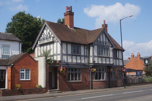
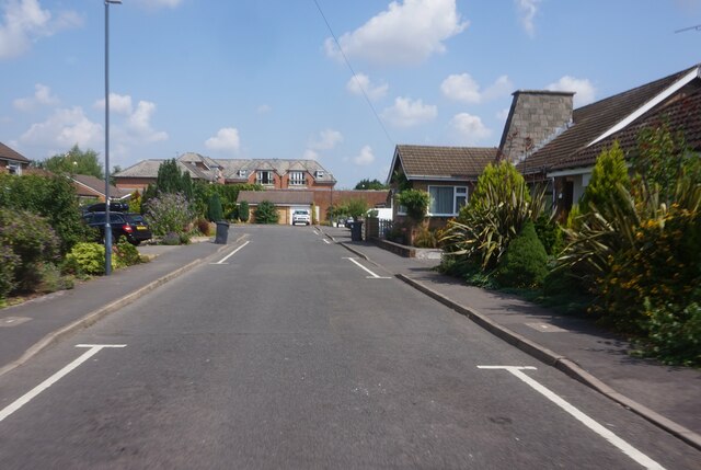
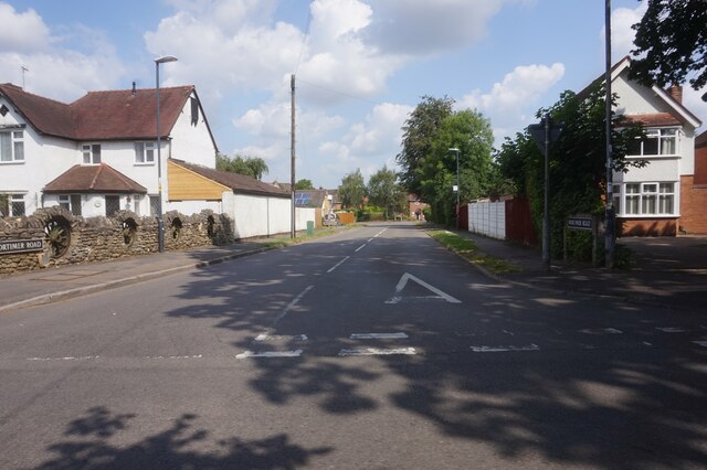
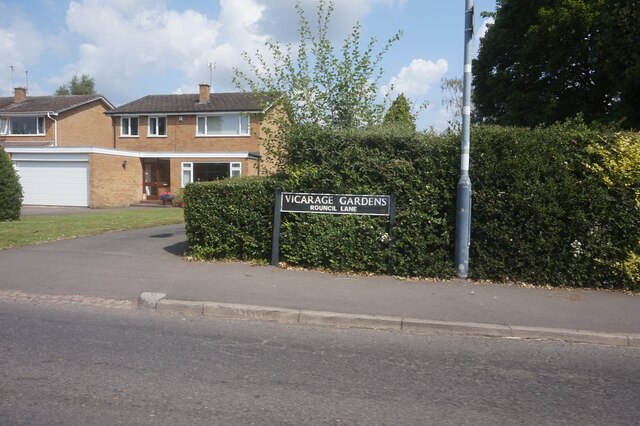
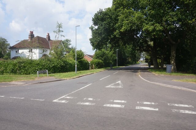
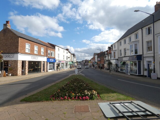
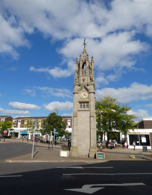
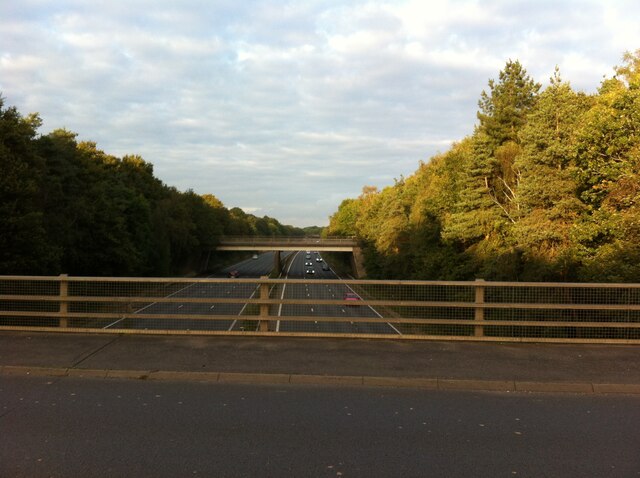
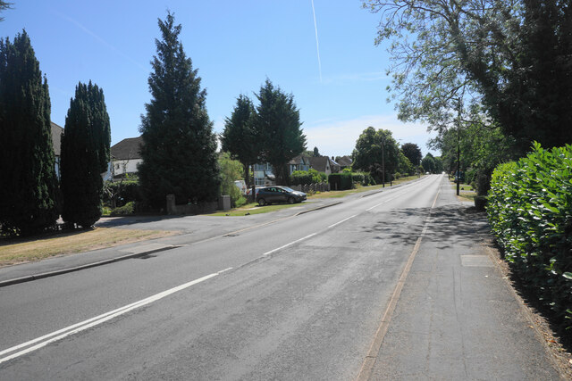
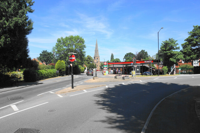
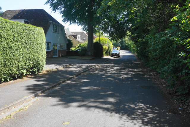
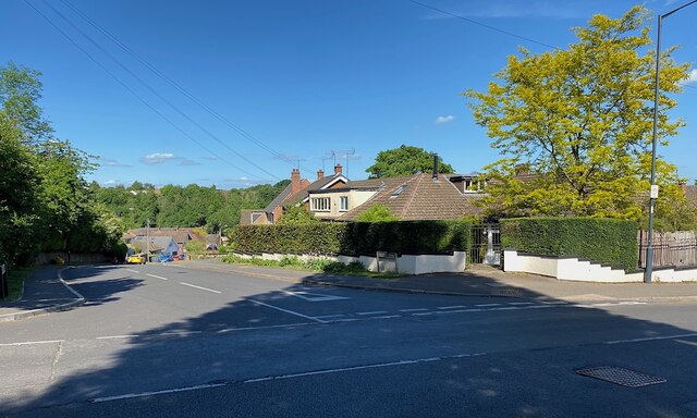
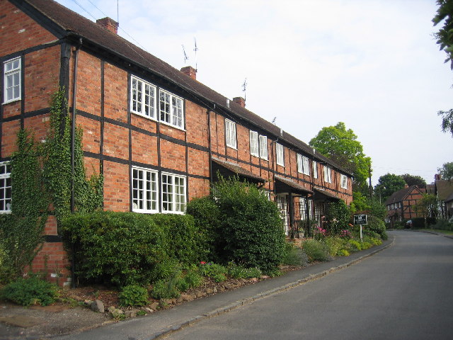
Thickthorn Wood Images

Images are sourced within 2km of 52.33402/-1.5558568 or Grid Reference SP3070. Thanks to Geograph Open Source API. All images are credited.

The Green Man public house, Kenilworth
Clarke's Avenue, Kenilworth
Mortimer Road, Kenilworth
Vicarage Gardens off Rouncil Lane, Kenilworth
Rounds Hill off Mortimer Road
The Square, Abbey End, Kenilworth 
The B4103 into Kenilworth.
The Square, Abbey End, Kenilworth
The B4103 into Kenilworth.
Kenilworth Clock Tower The clock tower was presented to Kenilworth in 1906 by G.M. Turner as a memorial to his late wife. The upper part of the structure was damaged in November 1940 by a landmine which also destroyed the adjacent Globe Hotel, killing 28 people. The clock tower was ultimately restored in 1973 when  the stone crown was reinstated and in 1974 a local blacksmith constructed a replacement weather vane <a href="https://www.geograph.org.uk/photo/6981894">SP2871 : Weathervane on Kenilworth Clock Tower</a>. For more information see <span class="nowrap"><a title="https://www.jamesmoorejewellers.co.uk/the-history-of-kenilworth-clock-tower/" rel="nofollow ugc noopener" href="https://www.jamesmoorejewellers.co.uk/the-history-of-kenilworth-clock-tower/">Link</a><img style="margin-left:2px;" alt="External link" title="External link - shift click to open in new window" src="https://s1.geograph.org.uk/img/external.png" width="10" height="10"/></span>
Kenilworth Clock Tower
The clock tower was presented to Kenilworth in 1906 by G.M. Turner as a memorial to his late wife. The upper part of the structure was damaged in November 1940 by a landmine which also destroyed the adjacent Globe Hotel, killing 28 people. The clock tower was ultimately restored in 1973 when the stone crown was reinstated and in 1974 a local blacksmith constructed a replacement weather vane SP2871 : Weathervane on Kenilworth Clock Tower. For more information see LinkExternal link
Kenilworth Clock Tower: detail 
The clock tower <a href="https://www.geograph.org.uk/photo/6980971">SP2871 : Kenilworth Clock Tower</a> was presented to Kenilworth in 1906 by G.M. Turner as a memorial to his late wife. The upper part of the structure was damaged in November 1940 by a landmine which also destroyed the adjacent Globe Hotel, killing 28 people. The clock tower was ultimately restored in 1973 when  the stone crown was reinstated and in 1974 a local blacksmith constructed a replacement weather vane. For more information see <span class="nowrap"><a title="https://www.jamesmoorejewellers.co.uk/the-history-of-kenilworth-clock-tower/" rel="nofollow ugc noopener" href="https://www.jamesmoorejewellers.co.uk/the-history-of-kenilworth-clock-tower/">Link</a><img style="margin-left:2px;" alt="External link" title="External link - shift click to open in new window" src="https://s1.geograph.org.uk/img/external.png" width="10" height="10"/></span>
Kenilworth Clock Tower: detail
The clock tower SP2871 : Kenilworth Clock Tower was presented to Kenilworth in 1906 by G.M. Turner as a memorial to his late wife. The upper part of the structure was damaged in November 1940 by a landmine which also destroyed the adjacent Globe Hotel, killing 28 people. The clock tower was ultimately restored in 1973 when the stone crown was reinstated and in 1974 a local blacksmith constructed a replacement weather vane. For more information see LinkExternal link
Weathervane on Kenilworth Clock Tower 
The clock tower <a href="https://www.geograph.org.uk/photo/6980971">SP2871 : Kenilworth Clock Tower</a> was presented to Kenilworth in 1906 by G.M. Turner as a memorial to his late wife. The upper part of the structure was damaged in November 1940 by a landmine which also destroyed the adjacent Globe Hotel, killing 28 people. The clock tower was ultimately restored in 1973 when  the stone crown was reinstated and in 1974 a local blacksmith constructed a replacement weather vane. For more information see <span class="nowrap"><a title="https://www.jamesmoorejewellers.co.uk/the-history-of-kenilworth-clock-tower/" rel="nofollow ugc noopener" href="https://www.jamesmoorejewellers.co.uk/the-history-of-kenilworth-clock-tower/">Link</a><img style="margin-left:2px;" alt="External link" title="External link - shift click to open in new window" src="https://s1.geograph.org.uk/img/external.png" width="10" height="10"/></span>
Weathervane on Kenilworth Clock Tower
The clock tower SP2871 : Kenilworth Clock Tower was presented to Kenilworth in 1906 by G.M. Turner as a memorial to his late wife. The upper part of the structure was damaged in November 1940 by a landmine which also destroyed the adjacent Globe Hotel, killing 28 people. The clock tower was ultimately restored in 1973 when the stone crown was reinstated and in 1974 a local blacksmith constructed a replacement weather vane. For more information see LinkExternal link
Kenilworth Library
Kenilworth Library
Kenilworth station
Kenilworth station
Roundabout at junction of A46 and A452, Kenilworth
Roundabout at junction of A46 and A452, Kenilworth We are looking to the north east, where the A46 Kenilworth Bypass cuts through Thickthorn Wood.
Roundabout at junction of A46 and A452, Kenilworth
We are looking to the north east, where the A46 Kenilworth Bypass cuts through Thickthorn Wood.
Fuel delivery, Warwick Road, Kenilworth A tanker is delivering fuel to the Shell garage on Warwick Road.
Fuel delivery, Warwick Road, Kenilworth
A tanker is delivering fuel to the Shell garage on Warwick Road.
Warwick Road, Kenilworth The old main road to Warwick before the new A46 changed the local configuration. It is bounded by fairly substantial residential properties.
Warwick Road, Kenilworth
The old main road to Warwick before the new A46 changed the local configuration. It is bounded by fairly substantial residential properties.
Entering a small gyratory system in Kenilworth This is where the original roads from Leamington and Warwick met at the bottom of the high street. St John's Church is in the background.
Entering a small gyratory system in Kenilworth
This is where the original roads from Leamington and Warwick met at the bottom of the high street. St John's Church is in the background.
Ferndale Drive A quiet residential cul-de-sac. The foliage on the right provides a screen against the busy A452 which is just the other side.
Ferndale Drive
A quiet residential cul-de-sac. The foliage on the right provides a screen against the busy A452 which is just the other side.
Top of Villiers Road, Kenilworth At its junction with Park Hill.
Top of Villiers Road, Kenilworth
At its junction with Park Hill.
Show me another place!

Thickthorn Wood is located at Grid Ref: SP3070 (Lat: 52.33402, Lng: -1.5558568)

Administrative County: Warwickshire

District: Warwick

Police Authority: Warwickshire

What 3 Words

///slips.punchy.movies. Near Leek Wootton, Warwickshire

Nearby Locations

Thickthorn Wood

Related Wikis

Kenilworth

Kenilworth ( KEN-il-wərth) is a market town and civil parish in the Warwick District in Warwickshire, England, 6 miles (10 km) south-west of Coventry,...

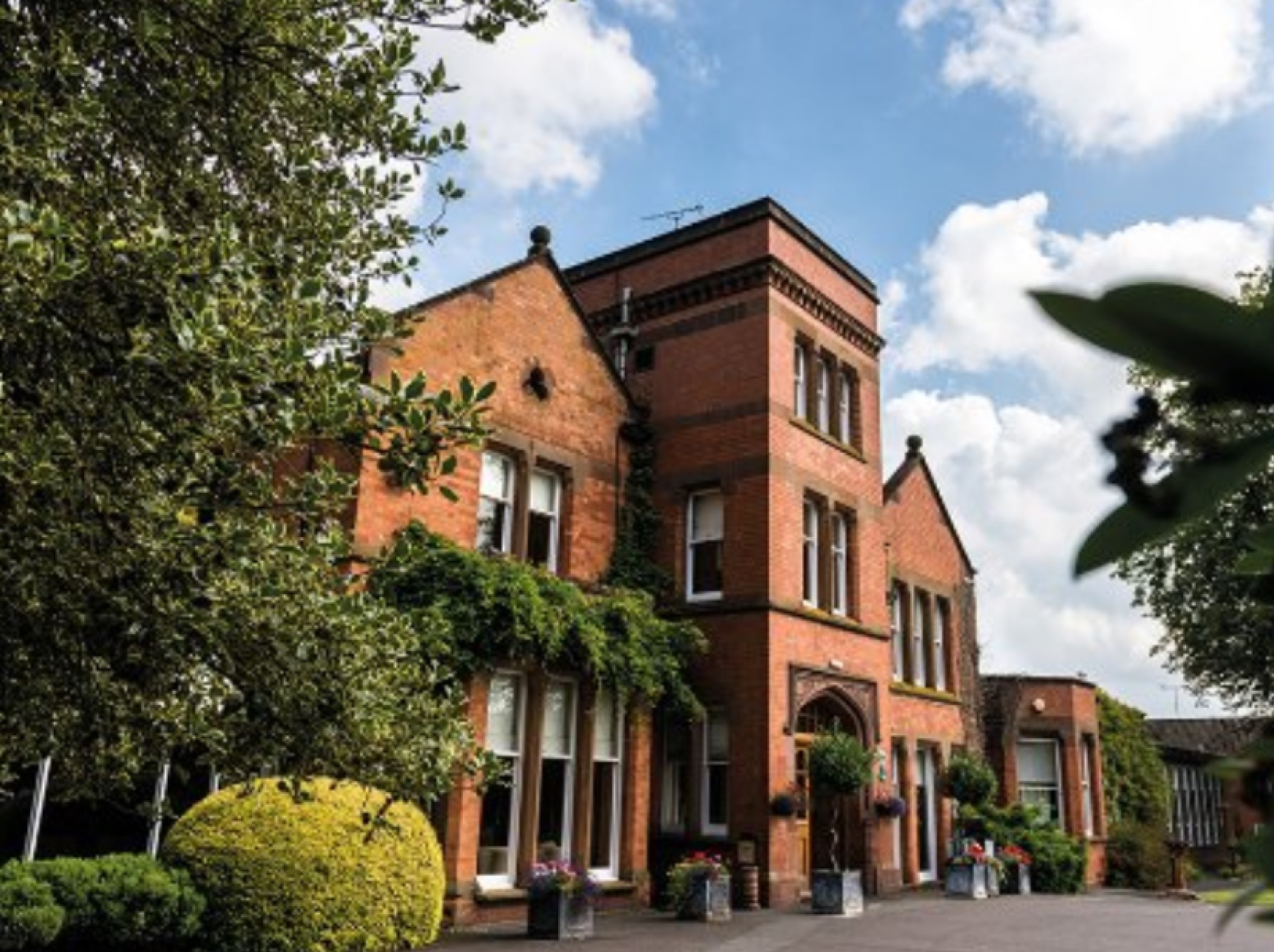
Woodside Hotel, Kenilworth

The Woodside Hotel is a building of historical significance in Kenilworth, Warwickshire, England. It was the residence of several notable people from about...

Kenilworth railway station

Kenilworth railway station serves the town of Kenilworth, Warwickshire, England; it is a stop on the Coventry to Leamington Line. The original Kenilworth...

Stoneleigh Abbey Gatehouse

Stoneleigh Abbey Gatehouse is the 14th century gatehouse to the medieval Stoneleigh Abbey which was established near Stoneleigh, Warwickshire in the 12th...

Kenilworth School and Sixth Form

Kenilworth School and Sixth Form, also known as Kenilworth School and Sports College, is a coeducational secondary school and sixth form based in Glasshouse...

Stoneleigh Abbey

Stoneleigh Abbey is an English country house and estate situated south of Coventry. Nearby is the village of Stoneleigh, Warwickshire. The Abbey itself...

Ashow

Ashow is a small village and civil parish in the Warwick district of Warwickshire, England, about 2.5 miles (4 km) south-east of central Kenilworth. According...

Talisman Theatre and Arts Centre

The Talisman Theatre and Arts Centre is a community theatre and company located in Kenilworth, Warwickshire, England. The building has a foyer/meeting...

Nearby Amenities

Located within 500m of 52.33402,-1.5558568
Motorway Junction
Thickthorn Roundabout
Lat/Long: 52.3343626/-1.5577636
Direction: forward
Maxspeed: 40 mph
Traffic Sign: maxspeed
Lat/Long: 52.3310485/-1.5609058
Direction: forward
Maxspeed: 70 mph
Traffic Sign: maxspeed
Lat/Long: 52.3319066/-1.5622739
Give Way
Direction: forward
Lat/Long: 52.330989/-1.5609112
Street Lamp
Lat/Long: 52.3311081/-1.5610389
Street Lamp
Lat/Long: 52.3308805/-1.5607912
Street Lamp
Lat/Long: 52.3319746/-1.5622225
Street Lamp
Lat/Long: 52.3315879/-1.5604099
Street Lamp
Lat/Long: 52.3313694/-1.5605842
Street Lamp
Lat/Long: 52.3322278/-1.5614405
Street Lamp
Lat/Long: 52.332059/-1.5617997
Colour: yellow
Marker: post
Material: plastic
Utility: gas
Lat/Long: 52.3313038/-1.5508621
Colour: red and white
Marker: aerial
Material: plastic
Utility: gas
Lat/Long: 52.3313819/-1.5509389
Colour: red and white
Marker: aerial
Material: plastic
Utility: gas
Lat/Long: 52.3351651/-1.5507769
The data included in this document is from www.openstreetmap.org. The data is made available under ODbL.

Have you been to Thickthorn Wood?

Leave your review of Thickthorn Wood below (or comments, questions and feedback).