Bowbridge Wood
Wood, Forest in Derbyshire Amber Valley
England
Bowbridge Wood

Bowbridge Wood is a picturesque woodland located in Derbyshire, England. Covering an area of approximately 25 acres, it is a popular destination for nature enthusiasts and walkers alike. The wood is situated near the village of Ambergate, just a short distance from the River Derwent.
This ancient woodland is predominantly composed of oak and ash trees, with a dense undergrowth of bluebells, wood anemones, and wild garlic in the springtime. The canopy of the wood provides a sheltered habitat for a variety of wildlife, including birds such as woodpeckers, nuthatches, and tawny owls. Visitors may also spot small mammals like squirrels and foxes.
There are several well-marked walking trails throughout Bowbridge Wood, offering visitors the opportunity to explore its natural beauty. The paths wind their way through the trees, allowing visitors to immerse themselves in the tranquil surroundings. In addition to the main trails, there are also smaller footpaths that lead to hidden clearings and viewpoints, providing stunning vistas of the surrounding countryside.
Bowbridge Wood is managed by the local authority, who have implemented measures to preserve its natural beauty and protect the wildlife that call it home. As a result, visitors are encouraged to respect the woodland by keeping to designated paths and avoiding any damage to the flora and fauna.
Overall, Bowbridge Wood is a delightful destination for those seeking a peaceful escape into nature. Its ancient trees, diverse wildlife, and well-maintained trails make it a perfect spot for a leisurely walk or a quiet moment of reflection.
If you have any feedback on the listing, please let us know in the comments section below.
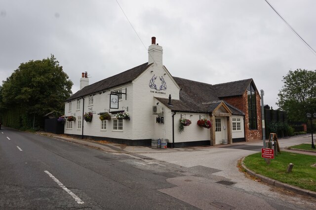
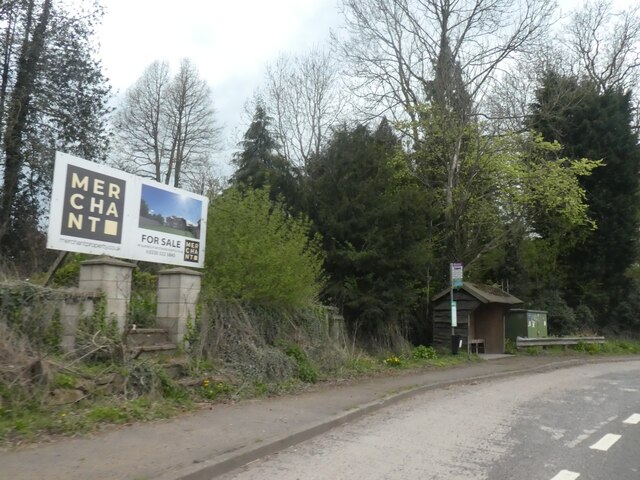
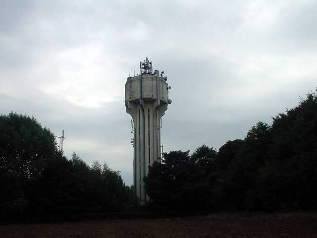
Bowbridge Wood Images
Images are sourced within 2km of 52.938405/-1.5515869 or Grid Reference SK3037. Thanks to Geograph Open Source API. All images are credited.


Bowbridge Wood is located at Grid Ref: SK3037 (Lat: 52.938405, Lng: -1.5515869)
Administrative County: Derbyshire
District: Amber Valley
Police Authority: Derbyshire
What 3 Words
///frames.sticky.breed. Near Derby, Derbyshire
Nearby Locations
Related Wikis
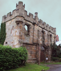
Mackworth Castle
Mackworth Castle was a 14th- or 15th-century structure located in Derbyshire, at the upper end of Mackworth village near Derby. The home for several centuries...

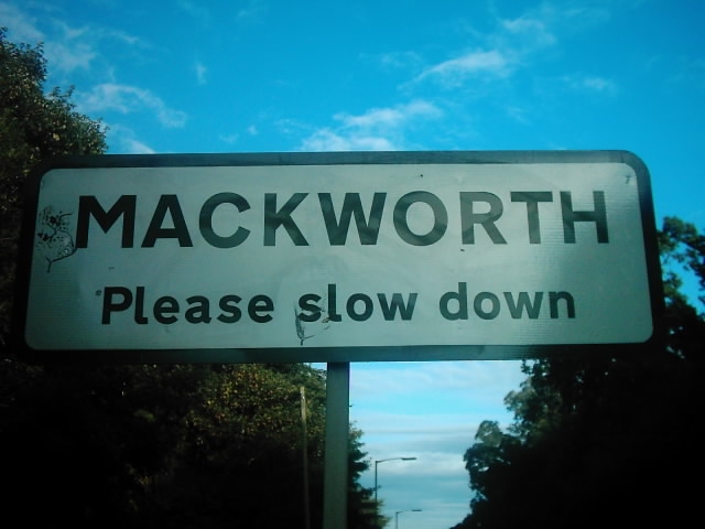
Mackworth, Amber Valley
Mackworth is a village and civil parish in the borough of Amber Valley, in Derbyshire, England. The 2011 Census recorded a population for the parish of...
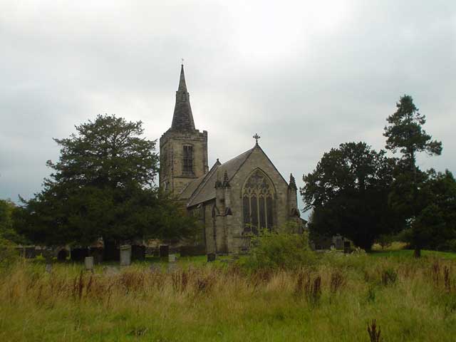
All Saints' Church, Mackworth
All Saints’ Church, Mackworth is a Grade I listed parish church in the Church of England in Mackworth, Derbyshire. == History == The church dates from...
Mackworth, Derby
Mackworth is a suburb and electoral ward of the city of Derby, England. Is it located on the north-west of the city near to Markeaton Park and the suburb...

Kirk Langley
Kirk Langley is a village and civil parish in Derbyshire. The village is 4 miles (6.4 km) northwest of Derby and 2 miles (3.2 km) south east of Brailsford...
St Michael's Church, Kirk Langley
St Michael's Church, Kirk Langley is a Grade I listed parish church in the Church of England in Kirk Langley, Derbyshire. == History == The church dates...

Mickleover F.C.
Mickleover Football Club is a football club based in the Mickleover suburb of Derby, Derbyshire, England. They are currently members of the Southern League...

Derby County F.C. Women
Derby County Women are an English women's football club affiliated with Derby County F.C. The first team currently play in the FA Women's National League...
Nearby Amenities
Located within 500m of 52.938405,-1.5515869Have you been to Bowbridge Wood?
Leave your review of Bowbridge Wood below (or comments, questions and feedback).