Rodknoll Plantation
Wood, Forest in Derbyshire North East Derbyshire
England
Rodknoll Plantation
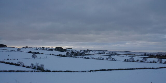
Rodknoll Plantation is a picturesque woodland area located in Derbyshire, England. Situated in the heart of the county, this sprawling forest covers an impressive area of approximately 500 acres. It is known for its rich biodiversity and stunning natural beauty, making it a popular destination for nature lovers and outdoor enthusiasts.
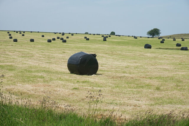
The plantation is predominantly composed of native deciduous trees, including oak, beech, and ash, which provide a diverse habitat for a wide range of flora and fauna. The forest floor is adorned with an array of colorful wildflowers, adding to the enchanting ambiance of the area.
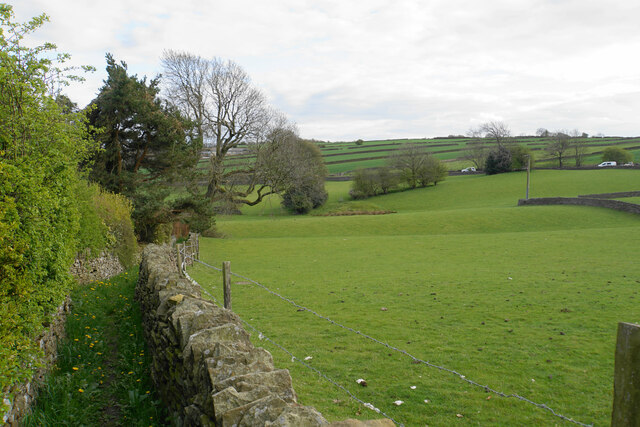
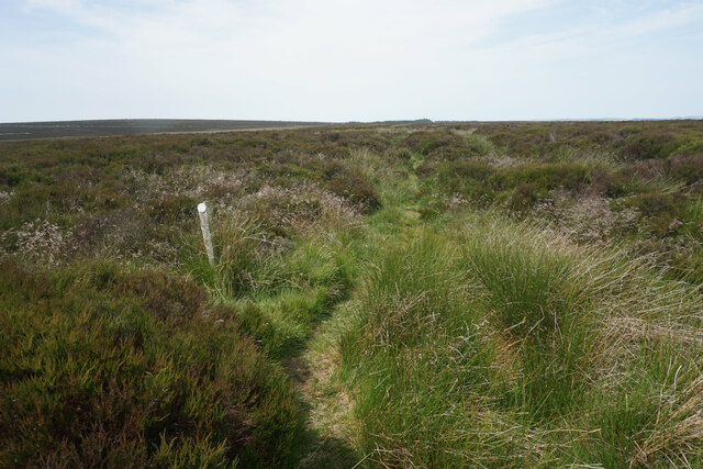
Visitors to Rodknoll Plantation can explore its well-maintained network of walking trails, allowing them to immerse themselves in the tranquility of the woodland. The paths wind through the trees, offering glimpses of the surrounding countryside and providing ample opportunities for birdwatching and wildlife spotting.
The plantation is also home to a variety of animal species, including deer, foxes, and rabbits. Bird enthusiasts will be delighted by the presence of numerous avian species, such as woodpeckers, owls, and various songbirds.
Rodknoll Plantation offers a peaceful retreat from the hustle and bustle of everyday life, providing a serene environment for relaxation and rejuvenation. Whether it's a leisurely stroll through the woods or a picnic amidst the natural beauty, this forest is a haven for those seeking a connection with nature.
If you have any feedback on the listing, please let us know in the comments section below.
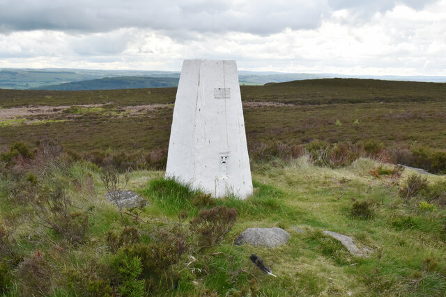
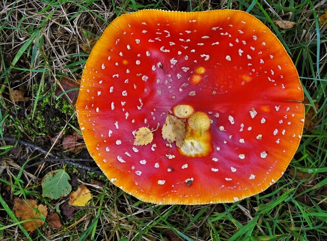
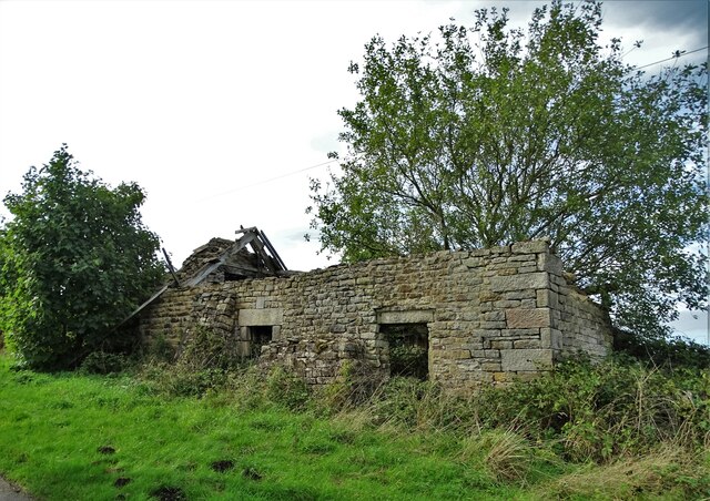
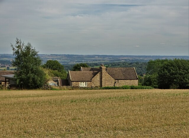
Rodknoll Plantation Images
Images are sourced within 2km of 53.224752/-1.5487679 or Grid Reference SK3069. Thanks to Geograph Open Source API. All images are credited.


![Guide Stoop, Wardlow Wells Guide stone / milestone just to the left of the entrance to the farm on Netherfield Lane and the junction with Baslow Road, the A619.
Inscription: Tid[e]s / well / Road // Chester / Field / Road / 1731
Milestone Society National ID: tbc](https://s3.geograph.org.uk/geophotos/07/40/12/7401207_d3967f98.jpg)


Rodknoll Plantation is located at Grid Ref: SK3069 (Lat: 53.224752, Lng: -1.5487679)
Administrative County: Derbyshire
District: North East Derbyshire
Police Authority: Derbyshire
What 3 Words
///refer.unhelpful.visa. Near Baslow, Derbyshire
Nearby Locations
Related Wikis

Hob Hurst's House
Hob Hurst's House is a Bronze Age barrow on Beeley Moor near Bakewell in Derbyshire. It is unique in that instead of the normal round shape, Hob Hurst...

Wadshelf
Wadshelf is a small village in Derbyshire, England. It is located between Chesterfield and Baslow, just inside the Peak District national park. It is near...

North East Derbyshire (UK Parliament constituency)
North East Derbyshire is a constituency created in 1885 represented in the House of Commons of the UK Parliament since 2017 by Lee Rowley of the Conservative...
Gibbet Moor
Gibbet Moor is a small gritstone upland area in the Derbyshire Peak District of central and northern England, near the village of Baslow. Its highest point...

Beeley Moor
Beeley Moor is a small gritstone upland area in the Derbyshire Peak District of central and northern England, near the villages of Beeley and Baslow. Its...

Brampton, North East Derbyshire
Brampton is a civil parish in North East Derbyshire, England, with a population of 1,201 in 2011. Lying 130 miles (210 km) north west of London, 20 miles...

Holymoorside and Walton
Holymoorside and Walton is a civil parish within the North East Derbyshire district, which is in the county of Derbyshire, England. Named for its main...
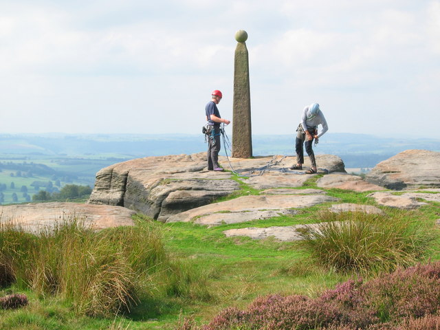
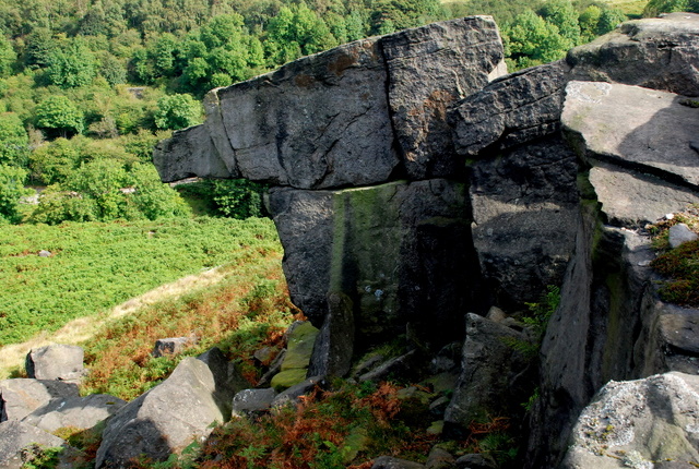
Birchen Edge
Birchen Edge is a gritstone rock face in the Peak District, England, popular with walkers and novice climbers as most of the climbing routes are in the...
Nearby Amenities
Located within 500m of 53.224752,-1.5487679Have you been to Rodknoll Plantation?
Leave your review of Rodknoll Plantation below (or comments, questions and feedback).