Farley Moor
Wood, Forest in Derbyshire Derbyshire Dales
England
Farley Moor
Farley Moor, located in Derbyshire, England, is a picturesque wooded area known for its natural beauty and tranquil atmosphere. Covering a vast expanse, it is a popular destination for nature enthusiasts, hikers, and birdwatchers alike.
The moor, which is predominantly covered in dense woodland, is home to a wide variety of flora and fauna. Tall, ancient trees dominate the landscape, providing a habitat for numerous species of birds, mammals, and insects. Visitors can expect to encounter charming woodland creatures such as squirrels, deer, and various bird species, including woodpeckers and owls.
Trails and footpaths crisscross the moor, offering visitors the opportunity to explore its diverse terrain. These paths wind through the forest, leading to scenic viewpoints, babbling brooks, and peaceful clearings. The dense canopy overhead provides shade during the summer months, creating a cool and refreshing environment.
Farley Moor also holds historical significance. It has been suggested that the area was once used for mining and quarrying, which can still be seen in the form of disused pits and quarry sites. These remnants of the past add an intriguing element to the natural beauty of the moor.
Overall, Farley Moor in Derbyshire is a haven for those seeking solace in nature. Its idyllic woodland setting, abundant wildlife, and historical remnants make it a must-visit destination for anyone looking to immerse themselves in the beauty of the English countryside.
If you have any feedback on the listing, please let us know in the comments section below.
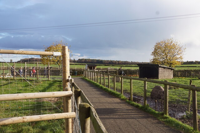
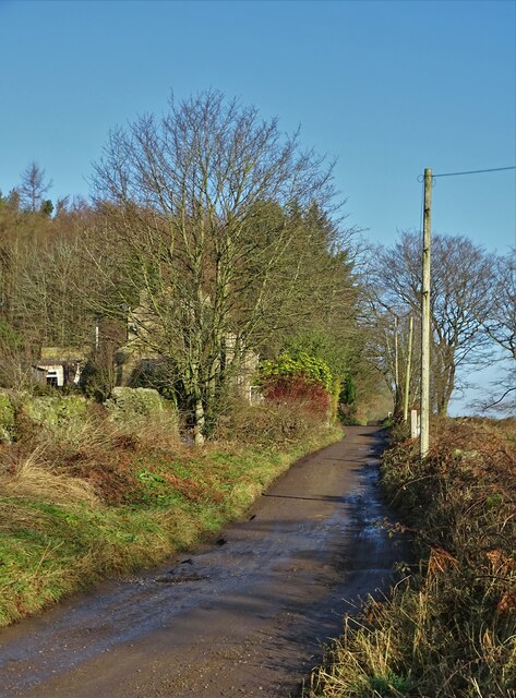
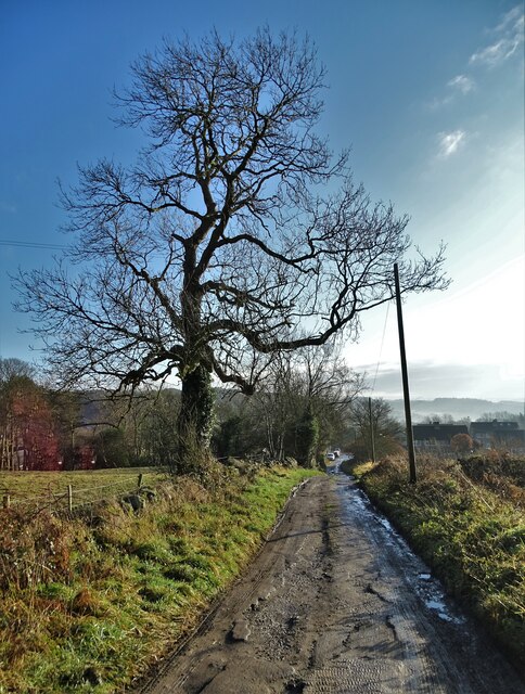
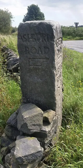
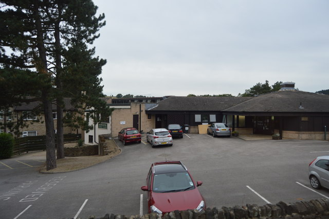
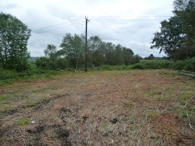
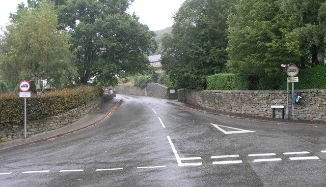
Farley Moor Images
Images are sourced within 2km of 53.164416/-1.5505224 or Grid Reference SK3063. Thanks to Geograph Open Source API. All images are credited.


Farley Moor is located at Grid Ref: SK3063 (Lat: 53.164416, Lng: -1.5505224)
Administrative County: Derbyshire
District: Derbyshire Dales
Police Authority: Derbyshire
What 3 Words
///crab.recorders.dummy. Near Matlock, Derbyshire
Nearby Locations
Related Wikis

Farley, Derbyshire
Farley is a hamlet in the Derbyshire Dales district, in the English county of Derbyshire. It is near the town of Matlock. The nearest main road is the...
Hackney, Derbyshire
Hackney and Upper Hackney are areas of settlement in Derbyshire, England. The population taken at the 2011 Census is included in the civil parish of Darley...

Whitworth Hospital, Matlock
Whitworth Hospital is a healthcare facility on the Bakewell Road between Darley Dale and Matlock in Derbyshire, England. It is managed by Derbyshire Community...

Highfields School, Matlock
Highfields School is a coeducational secondary school and sixth form located in Matlock, Derbyshire, England. At the time of its September 2012 Ofsted...
St Elphin's School
St Elphins School was a boarding school for the daughters of the clergy of the Church of England. It was originally based in Warrington, Lancashire, England...

All Saints' Church, Matlock Bank
All Saints’ Church, Matlock Bank is a Grade II listed parish church in the Church of England in Matlock, Derbyshire. == History == A mission room and school...
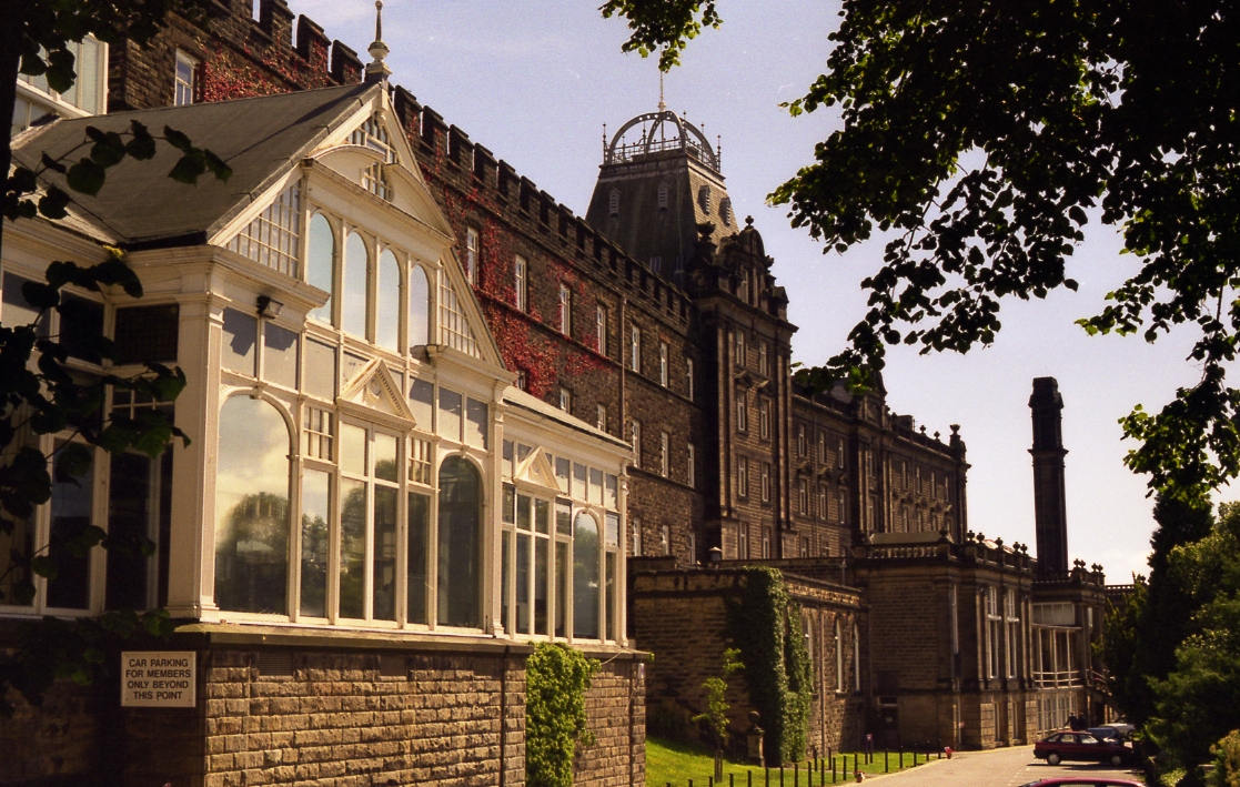
County Hall, Matlock
The County Hall is a municipal building in Matlock, Derbyshire, England. The building, which was originally a hydropathic establishment but is now the...

Matlock Cable Tramway
Matlock Cable Tramway was a cable tramway that served the town of Matlock, Derbyshire, UK between 28 March 1893 and 30 September 1927. == History == The...
Nearby Amenities
Located within 500m of 53.164416,-1.5505224Have you been to Farley Moor?
Leave your review of Farley Moor below (or comments, questions and feedback).