Bog Wood
Wood, Forest in Yorkshire Harrogate
England
Bog Wood

Bog Wood, Yorkshire is a remarkable woodland area located in the heart of Yorkshire, England. Covering an area of approximately 150 acres, it is a pristine forest that offers a unique natural experience to visitors. The wood is named after the iconic bog or wetland that is found within it, which adds to its charm and beauty.
The woodland is a mix of various tree species, including oak, birch, beech, and hazel, which create a diverse and vibrant ecosystem. The trees are well-established and tower above visitors, providing a sense of awe and tranquility. The forest floor is covered in a lush carpet of mosses, ferns, and wildflowers, adding to the enchanting atmosphere.
Bog Wood is also home to a rich variety of wildlife. It provides a habitat for numerous bird species, such as woodpeckers, owls, and warblers, attracting birdwatchers throughout the year. Additionally, the forest supports a range of mammals, including deer, foxes, badgers, and squirrels, allowing nature enthusiasts to observe and appreciate the local fauna.
Visitors to Bog Wood can enjoy a range of activities. There are well-maintained walking trails that wind through the forest, offering opportunities for leisurely strolls or more adventurous hikes. The woodland also has designated picnic areas, allowing visitors to relax and enjoy a meal surrounded by nature.
Overall, Bog Wood, Yorkshire is a captivating and tranquil woodland that showcases the beauty of nature. It is a haven for wildlife and a perfect escape for those seeking a peaceful retreat away from the hustle and bustle of everyday life.
If you have any feedback on the listing, please let us know in the comments section below.
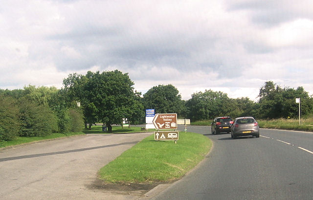
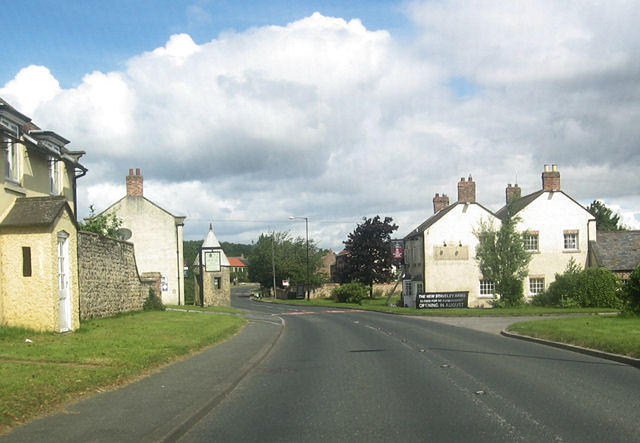
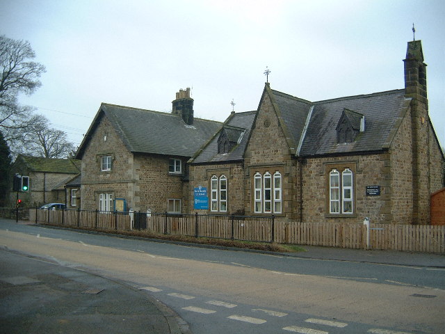
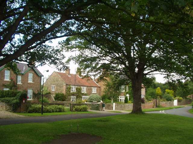
Bog Wood Images
Images are sourced within 2km of 54.191637/-1.5416345 or Grid Reference SE3077. Thanks to Geograph Open Source API. All images are credited.


Bog Wood is located at Grid Ref: SE3077 (Lat: 54.191637, Lng: -1.5416345)
Division: North Riding
Administrative County: North Yorkshire
District: Harrogate
Police Authority: North Yorkshire
What 3 Words
///fidelity.crisis.staging. Near Ripon, North Yorkshire
Nearby Locations
Related Wikis

North Stainley with Sleningford
North Stainley with Sleningford is a civil parish in Harrogate district, North Yorkshire, England. The principal settlement and only village in the parish...

East Tanfield
East Tanfield is a civil parish in North Yorkshire, England. There is no modern village in the parish, and the population was estimated at 30 in 2013...
North Stainley
North Stainley is a village in the Harrogate district of North Yorkshire, England 4 miles (6.4 km) north of Ripon. Historically part of the West Riding...
Sutton Howgrave
Sutton Howgrave is a village in North Yorkshire, England. It is the only village in the civil parish of Sutton with Howgrave. The population of the parish...

Norton Conyers
Norton Conyers is a civil parish in North Yorkshire, England, 3 miles (5 km) north of Ripon. There is no modern village in the parish. Most of the parish...

Norton Conyers House
Norton Conyers House is a grade II* listed late medieval manor house with Stuart and Georgian additions sited in North Yorkshire, England, some 4 miles...
Wath Rural District
Wath Rural District was a rural district in the North Riding of Yorkshire from 1894 to 1974. It was created in 1894 from that part of the Ripon rural...
Wath (near Ripon)
Wath (alias Wath-by-Ripon) is a village and civil parish 3.7 miles (6 km) north of Ripon in North Yorkshire, England. The population of the parish was...
Have you been to Bog Wood?
Leave your review of Bog Wood below (or comments, questions and feedback).