Ashen Coppice

Wood, Forest in Warwickshire Stratford-on-Avon

England

Ashen Coppice

Highwall Spinney from Milne Hill The spinney crowns Brailes Hill and is the second highest point in Warwickshire. The spinney is highly visible from much of south Warwickshire and from many areas of north Oxfordshire and North Gloucestershire.
Highwall Spinney from Milne Hill Credit: Michael Dibb

Ashen Coppice is a picturesque wood located in Warwickshire, England. It covers an area of approximately 100 acres and is known for its enchanting beauty and diverse wildlife. The coppice is situated near the village of Ashorne, nestled between rolling hills and meandering streams.

The wood is primarily composed of deciduous trees, including oak, ash, and beech, which provide a rich canopy of foliage during the summer months. In autumn, the wood is transformed into a vibrant display of colors as the leaves change to shades of gold, red, and orange. The forest floor is adorned with a carpet of ferns, bluebells, and wildflowers, creating a magical atmosphere.

Ashen Coppice boasts a wide range of wildlife, making it a popular destination for nature enthusiasts. Visitors may spot a variety of birds, such as woodpeckers, owls, and warblers, as well as small mammals like foxes, badgers, and squirrels. The wood is also home to several species of butterflies, including the rare silver-washed fritillary.

The wood offers various walking paths and trails, allowing visitors to explore its natural wonders at their own pace. A small stream runs through the wood, adding to its charm and providing a tranquil setting for picnics and relaxation.

Ashen Coppice is a haven for those seeking solace in nature, offering a peaceful retreat from the hustle and bustle of everyday life. Whether it's for a leisurely stroll, birdwatching, or simply admiring the beauty of the woodland, this Warwickshire gem is sure to captivate visitors with its timeless allure.

If you have any feedback on the listing, please let us know in the comments section below.

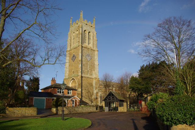
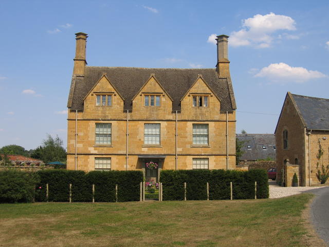
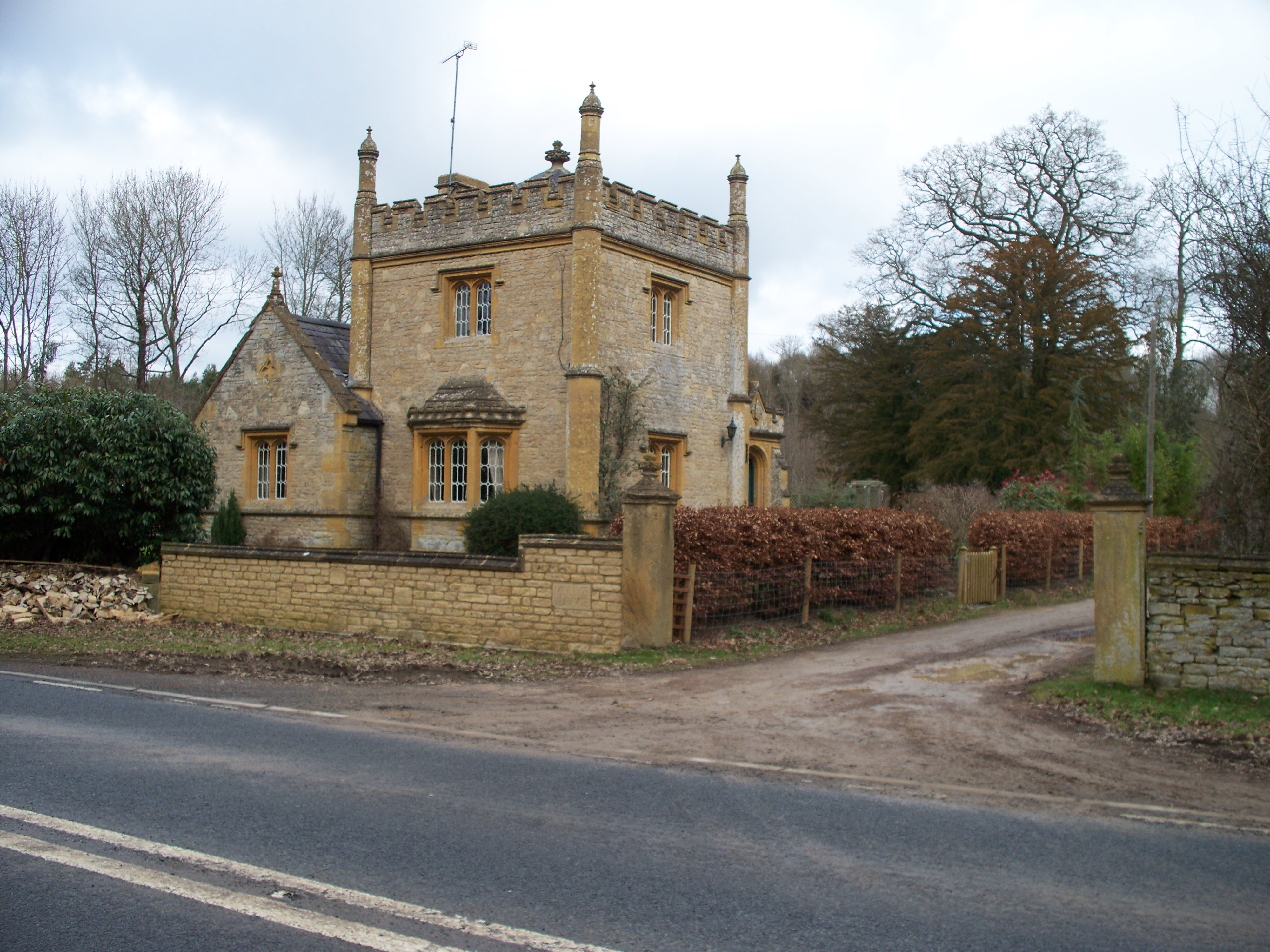
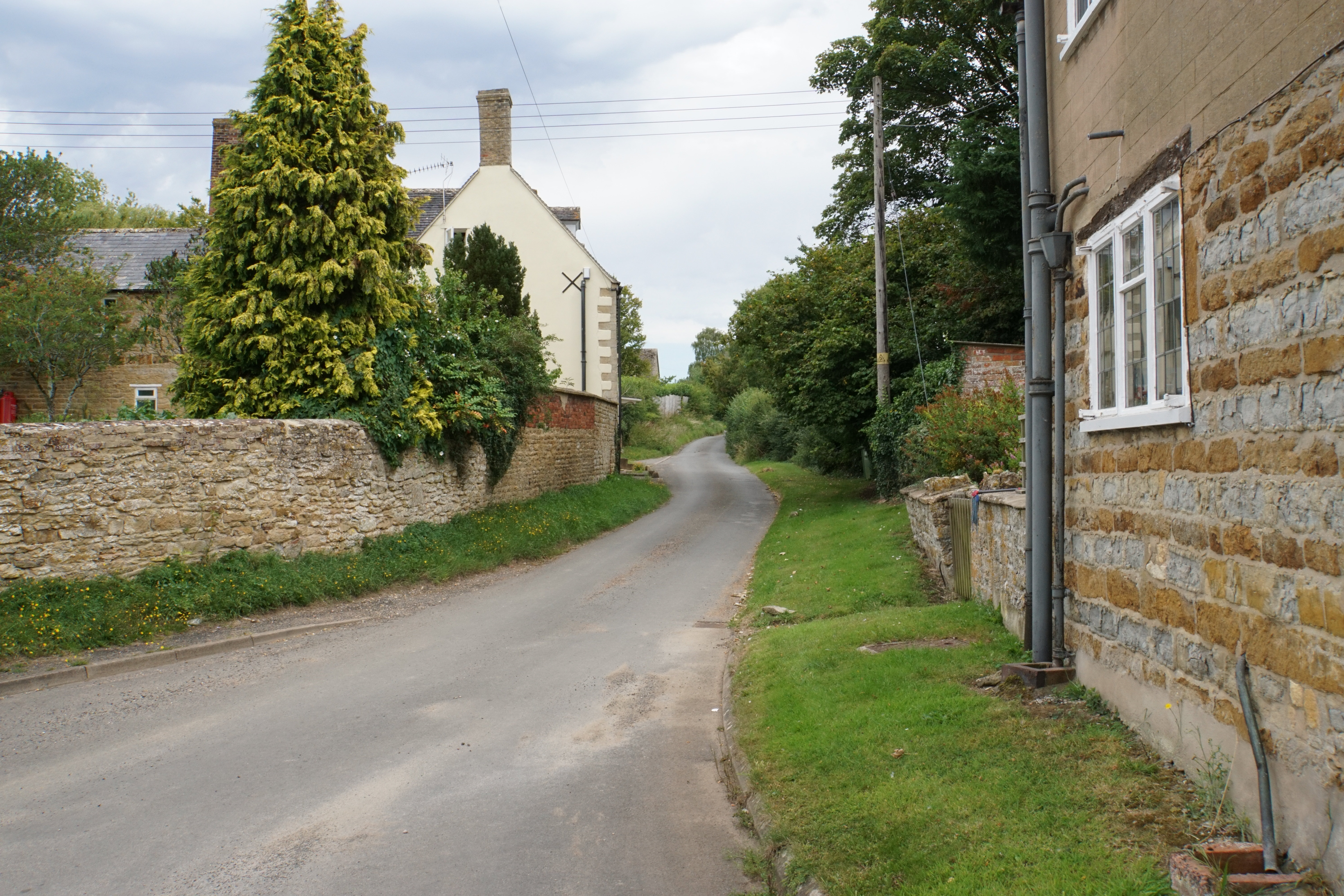
Ashen Coppice Images

Images are sourced within 2km of 52.057162/-1.5641191 or Grid Reference SP2939. Thanks to Geograph Open Source API. All images are credited.

Highwall Spinney from Milne Hill The spinney crowns Brailes Hill and is the second highest point in Warwickshire. The spinney is highly visible from much of south Warwickshire and from many areas of north Oxfordshire and North Gloucestershire.
Highwall Spinney from Milne Hill
The spinney crowns Brailes Hill and is the second highest point in Warwickshire. The spinney is highly visible from much of south Warwickshire and from many areas of north Oxfordshire and North Gloucestershire.
Highwall Spinney from Icomb Hill On this exceptionally clear day, the spinney, some 11½ miles distant, is clearly seen.  The spinney crowns Brailes Hill and is the second highest point in Warwickshire. The spinney is highly visible from much of south Warwickshire and from many areas of north Oxfordshire and north Gloucestershire.
Highwall Spinney from Icomb Hill
On this exceptionally clear day, the spinney, some 11½ miles distant, is clearly seen. The spinney crowns Brailes Hill and is the second highest point in Warwickshire. The spinney is highly visible from much of south Warwickshire and from many areas of north Oxfordshire and north Gloucestershire.
Highwall Spinney from near St Dennis The spinney crowns Brailes Hill and is the second highest point in Warwickshire. The spinney is highly visible from much of south Warwickshire and from many areas of north Oxfordshire and North Gloucestershire.
Highwall Spinney from near St Dennis
The spinney crowns Brailes Hill and is the second highest point in Warwickshire. The spinney is highly visible from much of south Warwickshire and from many areas of north Oxfordshire and North Gloucestershire.
Highwall Spinney from near Hill Barn The spinney crowns Brailes Hill and is the second highest point in Warwickshire. The spinney is highly visible from much of south Warwickshire and from many areas of north Oxfordshire and North Gloucestershire.  The tower of the church of St George in Lower Brailes is prominent.  Seen from the bridleway near Hill Barn.
Highwall Spinney from near Hill Barn
The spinney crowns Brailes Hill and is the second highest point in Warwickshire. The spinney is highly visible from much of south Warwickshire and from many areas of north Oxfordshire and North Gloucestershire. The tower of the church of St George in Lower Brailes is prominent. Seen from the bridleway near Hill Barn.
Highwall Spinney from near Upper Chelmscote Highwall Spinney crowns Brailes Hill and is a prominent landmark.
Highwall Spinney from near Upper Chelmscote
Highwall Spinney crowns Brailes Hill and is a prominent landmark.
Highwall Spinney from near Fodge Farm The spinney crowns Brailes Hill and is the second highest point in Warwickshire. The spinney is highly visible from much of south Warwickshire and from many areas of north Oxfordshire and North Gloucestershire.  Fodge Farm is between Hook Norton and Sibford Ferris.
Highwall Spinney from near Fodge Farm
The spinney crowns Brailes Hill and is the second highest point in Warwickshire. The spinney is highly visible from much of south Warwickshire and from many areas of north Oxfordshire and North Gloucestershire. Fodge Farm is between Hook Norton and Sibford Ferris.
Highwall Spinney from near Ettington The spinney crowns Brailes Hill and is the second highest point in Warwickshire. The spinney is highly visible from much of south Warwickshire and from many areas of north Oxfordshire and North Gloucestershire. The spinney is some 7 miles distant from the camera.
Highwall Spinney from near Ettington
The spinney crowns Brailes Hill and is the second highest point in Warwickshire. The spinney is highly visible from much of south Warwickshire and from many areas of north Oxfordshire and North Gloucestershire. The spinney is some 7 miles distant from the camera.
Highwall Spinney from near Oxhill Some 4 miles away, the spinney crowns Brailes Hill and is the second highest point in Warwickshire. The spinney is highly visible from much of south Warwickshire and from many areas of north Oxfordshire and North Gloucestershire.  Kirby Farm is seen on the left edge of the image.
Highwall Spinney from near Oxhill
Some 4 miles away, the spinney crowns Brailes Hill and is the second highest point in Warwickshire. The spinney is highly visible from much of south Warwickshire and from many areas of north Oxfordshire and North Gloucestershire. Kirby Farm is seen on the left edge of the image.
Highwall Spinney from near Great Wolford The spinney crowns Brailes Hill and is the second highest point in Warwickshire. The spinney is highly visible from much of south Warwickshire and from many areas of north Oxfordshire and North Gloucestershire.
Highwall Spinney from near Great Wolford
The spinney crowns Brailes Hill and is the second highest point in Warwickshire. The spinney is highly visible from much of south Warwickshire and from many areas of north Oxfordshire and North Gloucestershire.
Highwall Spinney from Gallow Hill The spinney crowns Brailes Hill and is the second highest point in Warwickshire. The spinney is highly visible from much of south Warwickshire and from many areas of north Oxfordshire and north Gloucestershire.
Highwall Spinney from Gallow Hill
The spinney crowns Brailes Hill and is the second highest point in Warwickshire. The spinney is highly visible from much of south Warwickshire and from many areas of north Oxfordshire and north Gloucestershire.
Highwall Spinney Highwall Spinney, beech trees on the summit of Brailes Hill.
Highwall Spinney
Highwall Spinney, beech trees on the summit of Brailes Hill.
Beech trees on Brailes Hill Beech trees in Highwall Spinney on summit of Brailes Hill.
Beech trees on Brailes Hill
Beech trees in Highwall Spinney on summit of Brailes Hill.
Farm road on Brailes Hill Farm road passing through beech trees in Highwall Spinney on the summit of Brailes Hill.
Farm road on Brailes Hill
Farm road passing through beech trees in Highwall Spinney on the summit of Brailes Hill.
Trig point on Brailes Hill Trig point within Highwall Spinney on Brailes Hill.
Trig point on Brailes Hill
Trig point within Highwall Spinney on Brailes Hill.
View to Shipston-on-Stour View to Shipston-on-Stour from Brailes Hill.
View to Shipston-on-Stour
View to Shipston-on-Stour from Brailes Hill.
Bridleway on Brailes Hill Bridleway on the northern slopes of Brailes Hill.
Bridleway on Brailes Hill
Bridleway on the northern slopes of Brailes Hill.
View to Shipston-on-Stour View to Shipston-on-Stour from a bridleway on the western slopes of Brailes Hill.  Ilmington Down, the highest point in Warwickshire can be seen in the distance.
View to Shipston-on-Stour
View to Shipston-on-Stour from a bridleway on the western slopes of Brailes Hill. Ilmington Down, the highest point in Warwickshire can be seen in the distance.
Ridge and furrow in farmland Ridge and furrow, the remains of medieval farming practices in south Warwickshire. in fields.
Ridge and furrow in farmland
Ridge and furrow, the remains of medieval farming practices in south Warwickshire. in fields.
Show me another place!

Ashen Coppice is located at Grid Ref: SP2939 (Lat: 52.057162, Lng: -1.5641191)

Administrative County: Warwickshire

District: Stratford-on-Avon

Police Authority: Warwickshire

What 3 Words

///monk.implore.slyly. Near Lower Brailes, Warwickshire

Related Wikis

Nearby Amenities

Located within 500m of 52.057162,-1.5641191
Upper Brailes
Alt Name: Brailes
Place: village
Wikidata: Q22582557
Lat/Long: 52.0588534/-1.5579989
Bus Stop
Castle Hill
Bus: yes
Naptan AtcoCode: 4200F071301
Naptan Bearing: NW
Naptan CommonName: Castle Hill
Naptan Indicator: Opp
Naptan NaptanCode: waragpjg
Naptan Street: Fant Hill
Naptan Verified: no
Public Transport: platform
Source: naptan_import
Lat/Long: 52.0589997/-1.558315
Fountain
Naptan AtcoCode: 4200F071500
Naptan Bearing: SE
Naptan BusStopType: CUS
Naptan CommonName: Fountain
Naptan Indicator: Adj
Naptan NaptanCode: waragpjp
Naptan Street: Fant Hill
Naptan Verified: no
Source: naptan_import
Lat/Long: 52.0591466/-1.5583785
Post Box
Operator: Royal Mail
Operator Wikidata: Q638098
Post Box Type: lamp
Ref: OX15 1019D
Royal Cypher: EIIR
Royal Cypher Wikidata: Q33102113
Source: GPS
Lat/Long: 52.0590746/-1.5581621
Barrier: stile
Source: survey
Lat/Long: 52.0555007/-1.5633432
Barrier: kissing_gate
Lat/Long: 52.0552029/-1.5596619
Barrier: stile
Dog: yes
Lat/Long: 52.0554336/-1.5607905
Power: pole
Source: Warwicks CC Aerial Imagery 2013
Lat/Long: 52.0538611/-1.5678008
Power: pole
Lat/Long: 52.0534785/-1.567267
Power: pole
Source: Warwicks CC Aerial Imagery 2013
Lat/Long: 52.0530488/-1.566681
Power: pole
Source: Warwicks CC Aerial Imagery 2013
Lat/Long: 52.0531593/-1.566001
Power: pole
Source: Warwicks CC Aerial Imagery 2013
Lat/Long: 52.0532616/-1.5653399
Power: pole
Source: Warwicks CC Aerial Imagery 2013
Lat/Long: 52.0534298/-1.5642415
Power: pole
Source: Warwicks CC Aerial Imagery 2013
Lat/Long: 52.053335/-1.5637587
Power: pole
Source: Warwicks CC Aerial Imagery 2013
Lat/Long: 52.0532385/-1.5632732
Power: pole
Source: Warwicks CC Aerial Imagery 2013
Lat/Long: 52.0531098/-1.5626308
Gilletts Hill
Power: pole
Source: Warwicks CC Aerial Imagery 2013
Transformer: distribution
Voltage Primary: 11000
Lat/Long: 52.0554675/-1.5599567
Power: pole
Source: Warwicks CC Aerial Imagery 2013
Lat/Long: 52.0549604/-1.5599821
Power: pole
Source: Warwicks CC Aerial Imagery 2013
Lat/Long: 52.0542544/-1.5600237
Power: pole
Source: Warwicks CC Aerial Imagery 2013
Lat/Long: 52.0535848/-1.5599969
Power: pole
Source: bing
Lat/Long: 52.05681/-1.5685236
Power: pole
Source: bing
Lat/Long: 52.0601768/-1.5686886
Power: pole
Source: bing
Lat/Long: 52.059504/-1.5686604
Power: pole
Source: bing
Lat/Long: 52.0589738/-1.5686336
Power: pole
Source: bing
Lat/Long: 52.058324/-1.5686095
Power: pole
Source: bing
Lat/Long: 52.0572817/-1.5685558
Power: pole
Source: bing
Lat/Long: 52.0557764/-1.568462
Power: pole
Source: bing
Lat/Long: 52.0551492/-1.569052
Power: pole
Source: bing
Lat/Long: 52.0547715/-1.5687946
Power: pole
Source: bing
Lat/Long: 52.0543823/-1.5685049
Generator Method: photovoltaic
Generator Output Electricity: yes
Generator Source: solar
Generator Type: solar_photovoltaic_panel
Location: roof
Power: generator
Lat/Long: 52.0559029/-1.5573657
Power: pole
Lat/Long: 52.0578227/-1.56858
Power: pole
Lat/Long: 52.0560176/-1.5595342
Power: pole
Lat/Long: 52.0564192/-1.5599433
Upper Brailes North
Power: pole
Transformer: distribution
Voltage Primary: 11000
Lat/Long: 52.058211/-1.5582776
Power: pole
Lat/Long: 52.0579397/-1.5590246
Power: pole
Lat/Long: 52.0576783/-1.5597314
Power: pole
Lat/Long: 52.0571943/-1.5599258
Gilletts Lane
Power: pole
Transformer: distribution
Voltage Primary: 11000
Lat/Long: 52.0562386/-1.5577412
Power: pole
Lat/Long: 52.0561256/-1.5586719
Power: pole
Lat/Long: 52.0559648/-1.5599526
Power: pole
Lat/Long: 52.0564546/-1.5684941
The data included in this document is from www.openstreetmap.org. The data is made available under ODbL.

Have you been to Ashen Coppice?

Leave your review of Ashen Coppice below (or comments, questions and feedback).