Clark Wood
Wood, Forest in Yorkshire Harrogate
England
Clark Wood
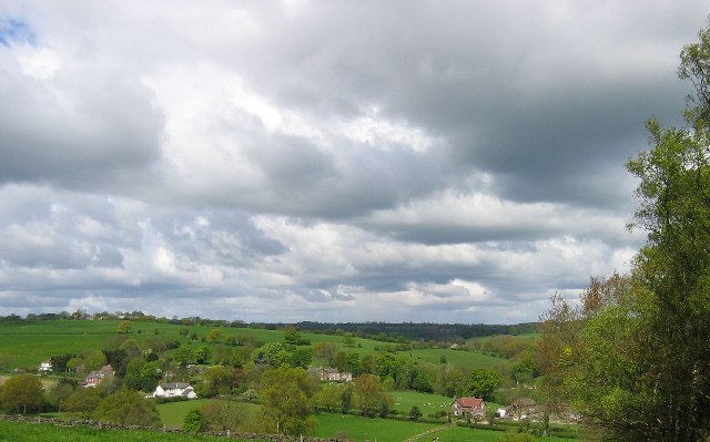
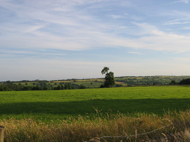
Clark Wood is a picturesque forest located in Yorkshire, England. Spanning over 400 acres, this woodland area is known for its diverse range of flora and fauna, making it a popular destination for nature enthusiasts and hikers. The forest is home to a variety of tree species, including oak, beech, and pine, creating a lush and vibrant landscape throughout the year.
Visitors to Clark Wood can enjoy a network of well-maintained walking trails that wind through the trees, providing opportunities to observe wildlife such as deer, squirrels, and a wide variety of bird species. The peaceful atmosphere of the forest makes it an ideal spot for birdwatching and photography.
In addition to its natural beauty, Clark Wood also has historical significance, with remnants of ancient settlements and burial mounds scattered throughout the area. Archaeological enthusiasts can explore these sites and learn about the rich history of the region.
Overall, Clark Wood offers a tranquil escape from the hustle and bustle of everyday life, providing visitors with a chance to reconnect with nature and immerse themselves in the beauty of the Yorkshire countryside.
If you have any feedback on the listing, please let us know in the comments section below.
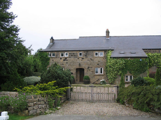
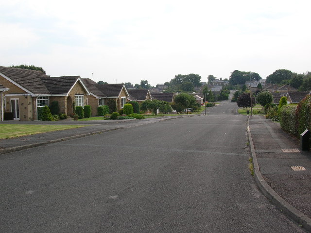
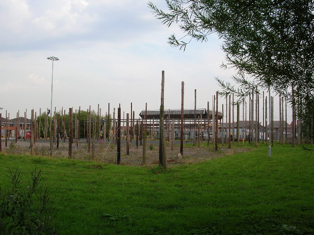
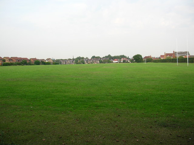
Clark Wood Images
Images are sourced within 2km of 53.964888/-1.5463803 or Grid Reference SE2952. Thanks to Geograph Open Source API. All images are credited.


Clark Wood is located at Grid Ref: SE2952 (Lat: 53.964888, Lng: -1.5463803)
Division: West Riding
Administrative County: North Yorkshire
District: Harrogate
Police Authority: North Yorkshire
What 3 Words
///feed.bleat.silent. Near Pannal, North Yorkshire
Nearby Locations
Related Wikis
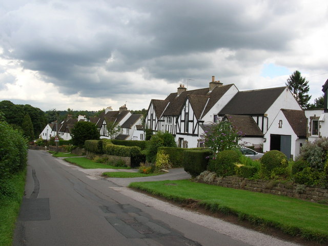
Burn Bridge
Burn Bridge is a village in the borough of Harrogate in North Yorkshire, England. It is 2.5 miles (4.0 km) south of the town of Harrogate, and forms part...

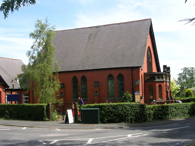
St Robert's Church, Pannal
St Robert's Church, Pannal, North Yorkshire, England, also known as St Robert of Knaresborough Parish Church, is a Grade II* listed building. A 13th-century...
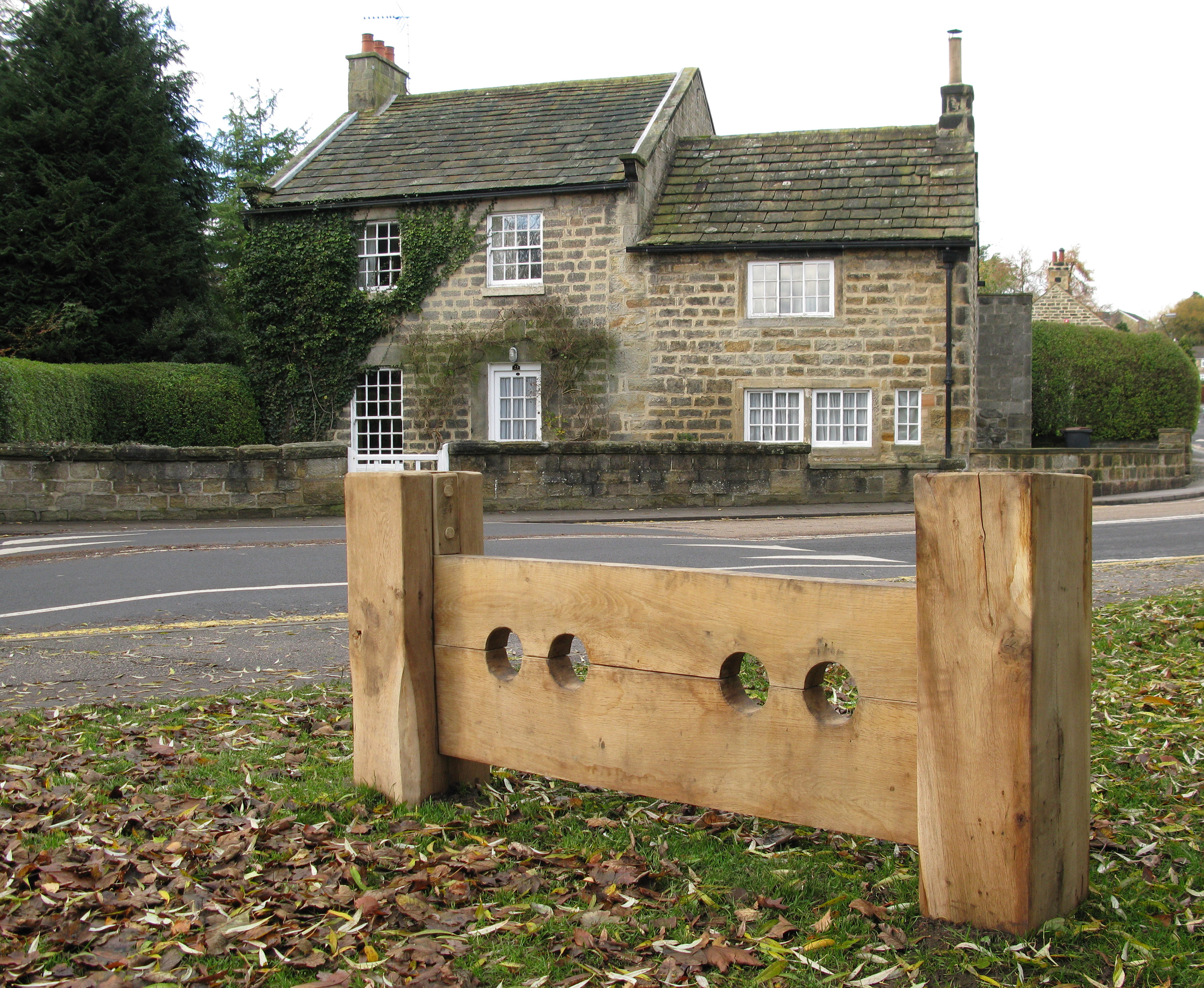
Pannal
Pannal is a village in the Harrogate district of North Yorkshire, England. Historically part of the West Riding of Yorkshire, it is situated to the immediate...
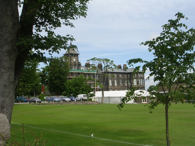
New College, Harrogate
New College, Harrogate was an independent preparatory school in Harrogate, Yorkshire which amalgamated with Ashville College in 1930. New College was founded...
Nearby Amenities
Located within 500m of 53.964888,-1.5463803Have you been to Clark Wood?
Leave your review of Clark Wood below (or comments, questions and feedback).