Derry Ormond

Settlement in Cardiganshire

Wales

Derry Ormond

Ordnance Survey Cut Mark This OS cut mark can be found on the churn stand east side of the road. It marks a point 141.877m above mean sea level. <a title="https://www.geograph.org.uk/photo/7412328" href="https://www.geograph.org.uk/photo/7412328">Link</a>
Ordnance Survey Cut Mark Credit: Adrian Dust

Derry Ormond is a small village located in the county of Cardiganshire, Wales. Situated in the rural countryside, it is surrounded by rolling hills and picturesque landscapes. Known for its tranquility and natural beauty, Derry Ormond offers a peaceful retreat away from the hustle and bustle of city life.

The village itself is relatively small, with a population of around 200 residents. It has a strong sense of community, with friendly locals who take pride in their village. The buildings in Derry Ormond are predominantly traditional Welsh stone cottages, adding to its charming character.

Although small, the village offers a few amenities to its residents and visitors. There is a local pub, serving traditional Welsh food and drinks, which acts as a social hub for the community. Additionally, there is a small convenience store that caters to the basic needs of the villagers.

For those seeking outdoor activities, Derry Ormond is surrounded by stunning natural beauty. The countryside is perfect for hiking, cycling, and exploring the nearby forests. The village is also located close to the coast, allowing residents and visitors to enjoy the sandy beaches and take part in water-based activities.

Overall, Derry Ormond is a peaceful and idyllic village in the heart of the Welsh countryside. With its welcoming community and beautiful surroundings, it offers a perfect escape for those looking to immerse themselves in nature and experience the charm of rural Wales.

If you have any feedback on the listing, please let us know in the comments section below.
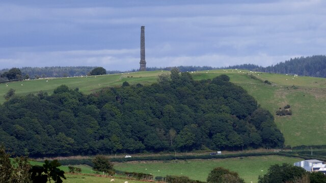
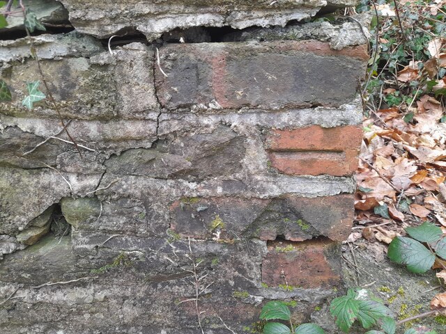
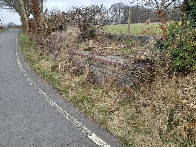
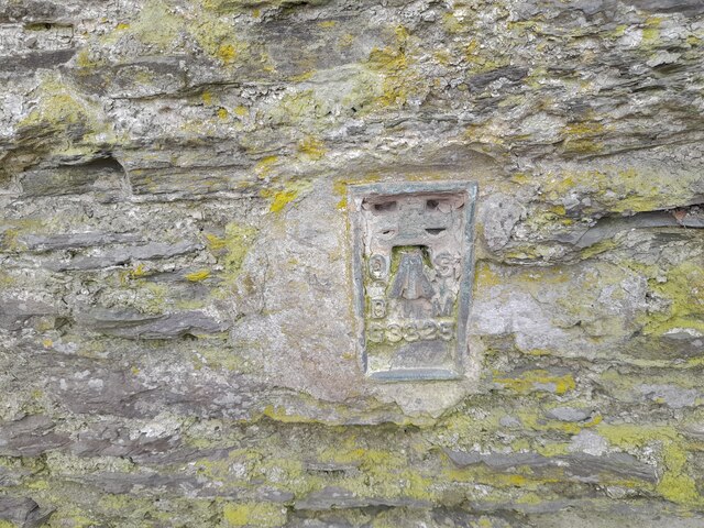
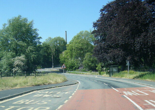
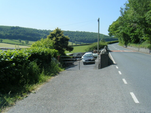
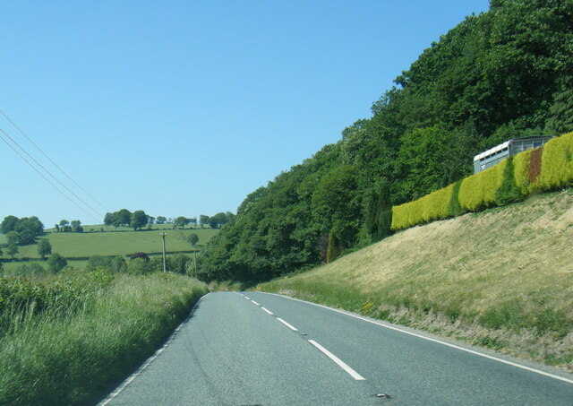
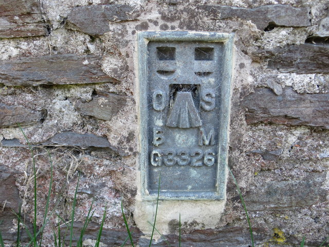
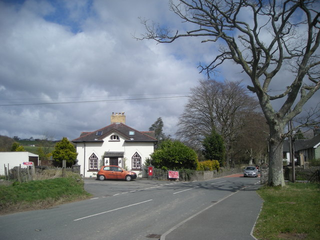
Derry Ormond Images

Images are sourced within 2km of 52.152438/-4.061678 or Grid Reference SN5952. Thanks to Geograph Open Source API. All images are credited.

Ordnance Survey Cut Mark This OS cut mark can be found on the churn stand east side of the road. It marks a point 141.877m above mean sea level. <a title="https://www.geograph.org.uk/photo/7412328" href="https://www.geograph.org.uk/photo/7412328">Link</a>
Ordnance Survey Cut Mark
This OS cut mark can be found on the churn stand east side of the road. It marks a point 141.877m above mean sea level. Link
Churn Stand There is an Ordnance Survey cut mark on the front of the stand. <a title="https://www.geograph.org.uk/photo/7412325" href="https://www.geograph.org.uk/photo/7412325">Link</a>
Churn Stand
There is an Ordnance Survey cut mark on the front of the stand. Link
Derry Ormond Tower <span class="nowrap"><a title="https://en.wikipedia.org/wiki/Derry_Ormond_Tower" rel="nofollow ugc noopener" href="https://en.wikipedia.org/wiki/Derry_Ormond_Tower">Link</a><img style="margin-left:2px;" alt="External link" title="External link - shift click to open in new window" src="https://s1.geograph.org.uk/img/external.png" width="10" height="10"/></span>
Derry Ormond Tower
Ordnance Survey Cut Mark This OS cut mark can be found on the gatepost SE side of the road. It marks a point 187.577m above mean sea level.
Ordnance Survey Cut Mark
This OS cut mark can be found on the gatepost SE side of the road. It marks a point 187.577m above mean sea level.
Ordnance Survey Cut Mark This OS cut mark can be found on the churn stand SE side of the road. It marks a point 205.060m above mean sea level. <a title="https://www.geograph.org.uk/photo/7412309" href="https://www.geograph.org.uk/photo/7412309">Link</a>
Ordnance Survey Cut Mark
This OS cut mark can be found on the churn stand SE side of the road. It marks a point 205.060m above mean sea level. Link
Churn Stand There is an Ordnance Survey cut mark on the front of the stand. <a title="https://www.geograph.org.uk/photo/7412304" href="https://www.geograph.org.uk/photo/7412304">Link</a>
Churn Stand
There is an Ordnance Survey cut mark on the front of the stand. Link
Ordnance Survey Rivet This OS rivet can be found on the churn stand east side of the road. It marks a point 203.963m above mean sea level. <a title="https://www.geograph.org.uk/photo/7412316" href="https://www.geograph.org.uk/photo/7412316">Link</a>
Ordnance Survey Rivet
This OS rivet can be found on the churn stand east side of the road. It marks a point 203.963m above mean sea level. Link
Churn Stand There is an Ordnance Survey rivet on the top of the stand. <a title="https://www.geograph.org.uk/photo/7412312" href="https://www.geograph.org.uk/photo/7412312">Link</a>
Churn Stand
There is an Ordnance Survey rivet on the top of the stand. Link
Churn Stand There should be an Ordnance Survey rivet on the top of the stand.
Churn Stand
There should be an Ordnance Survey rivet on the top of the stand.
Ordnance Survey Cut Mark This OS cut mark can be found on Bryn Madog Bach. It marks a point 198.940m above mean sea level.
Ordnance Survey Cut Mark
This OS cut mark can be found on Bryn Madog Bach. It marks a point 198.940m above mean sea level.
Ordnance Survey Cut Mark This OS cut mark can be found on the gatepost SW side of the road. It marks a point 198.297m above mean sea level.
Ordnance Survey Cut Mark
This OS cut mark can be found on the gatepost SW side of the road. It marks a point 198.297m above mean sea level.
Ordnance Survey Cut Mark This OS cut mark can be found on the gatepost south side of the road. It marks a point 189.311m above mean sea level.
Ordnance Survey Cut Mark
This OS cut mark can be found on the gatepost south side of the road. It marks a point 189.311m above mean sea level.
Ordnance Survey Cut Mark This OS cut mark can be found on the SW angle of St Bledrws' Church. It marks a point 133.707m above mean sea level.
Ordnance Survey Cut Mark
This OS cut mark can be found on the SW angle of St Bledrws' Church. It marks a point 133.707m above mean sea level.
Ordnance Survey Flush Bracket (G3325) This OS Flush Bracket can be found on the roadside barn at Bettws Farm. It marks a point 133.651m above mean sea level.
Ordnance Survey Flush Bracket (G3325)
This OS Flush Bracket can be found on the roadside barn at Bettws Farm. It marks a point 133.651m above mean sea level.
A485 in Betws Bledrws
A485 by Bettws Plantation
A485 at Allt Coed Parc
Ordnance Survey Flush Bracket G3326 This can be found on the roadside wall of a building at Glan-Denys.
For more detail see : <span class="nowrap"><a title="http://www.bench-marks.org.uk/bm10589" rel="nofollow ugc noopener" href="http://www.bench-marks.org.uk/bm10589">Link</a><img style="margin-left:2px;" alt="External link" title="External link - shift click to open in new window" src="https://s1.geograph.org.uk/img/external.png" width="10" height="10"/></span>
Ordnance Survey Flush Bracket G3326
This can be found on the roadside wall of a building at Glan-Denys. For more detail see : LinkExternal link
Show me another place!

Derry Ormond is located at Grid Ref: SN5952 (Lat: 52.152438, Lng: -4.061678)

Unitary Authority: Ceredigion

Police Authority: Dyfed Powys

What 3 Words

///tools.novels.encloses. Near Llangybi, Ceredigion

Nearby Locations

Llwyn-bobi Derry Ormond

Related Wikis

Derry Ormond

Derry Ormond is a farm and a small village in the community of Llangybi, Ceredigion, Wales, which is 60.1 miles (96.7 km) from Cardiff and 173.8 miles...

Betws Bledrws

Betws Bledrws, is a village between Lampeter and Llangybi, Ceredigion, Wales that was also known as Derry Ormond when under the influence of Derry Ormond...

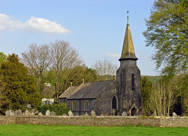
Betws Bledrws Church

The present church of St Bledrws, in the village of Betws Bledrws (sometimes spelt Bettws Bledrws), near Lampeter, Ceredigion, Wales, is a 19th-century...

Derry Ormond Tower

Derry Ormond Tower is a Grade II*-listed folly situated above Betws Bledrws, 3 miles (4.8 km) north of Lampeter in the county of Ceredigion, Wales. It...

Derry Ormond railway station

Derry Ormond railway station served the hamlet and rural locale of Betws Bledrws near Llangybi, as well as the mansion and estate of Derry Ormond (demolished...

Caeau Llety-cybi

Caeau Llety-cybi is a Site of Special Scientific Interest in Ceredigion, west Wales. The lowland meadow site is managed by the Wildlife Trust of South...

Silian Halt railway station

The Silian Halt railway station was a small railway station at Silian, the first stop after the junction on the Aberayron branch of the Carmarthen to Aberystwyth...

Llangybi, Ceredigion

Llangybi is a village and parish in the south of Ceredigion, Wales. It is located on the A485 between Tregaron to the north and Lampeter to the south,...

Nearby Amenities

Located within 500m of 52.152438,-4.061678
Barrier: yes
Lat/Long: 52.1526802/-4.060116
Direction: 175
Generator Method: photovoltaic
Generator Output Electricity: 3 kW
Generator Solar Modules: 22
Generator Source: solar
Generator Type: solar_photovoltaic_panel
Location: roof
Power: generator
Lat/Long: 52.1513545/-4.0621147
Direction: SSE
Generator Method: photovoltaic
Generator Output Electricity: yes
Generator Solar Modules: 16
Generator Source: solar
Generator Type: solar_photovoltaic_panel
Location: roof
Power: generator
Lat/Long: 52.1525822/-4.0584263
Direction: SE
Generator Method: photovoltaic
Generator Output Electricity: yes
Generator Solar Modules: 16
Generator Source: solar
Generator Type: solar_photovoltaic_panel
Location: roof
Power: generator
Lat/Long: 52.1526086/-4.0603763
The data included in this document is from www.openstreetmap.org. The data is made available under ODbL.

Have you been to Derry Ormond?

Leave your review of Derry Ormond below (or comments, questions and feedback).