Derry Fields

Settlement in Wiltshire

England

Derry Fields

B4696 heading north Towards Ashton Keynes and Cirencester.
B4696 heading north Credit: Robin Webster

Derry Fields is a small village located in the county of Wiltshire, England. Situated in the southern part of the county, it is nestled amidst the picturesque countryside and offers a tranquil and idyllic setting for residents and visitors alike.

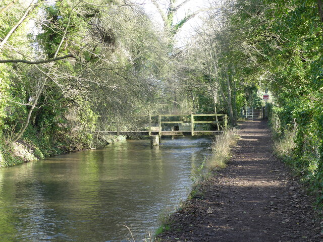
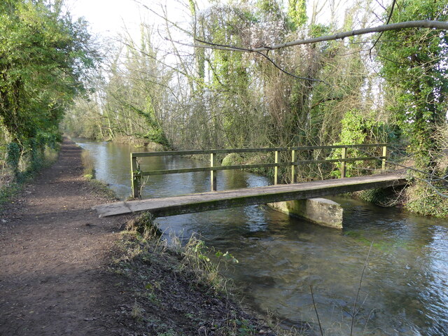
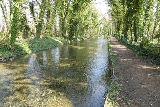
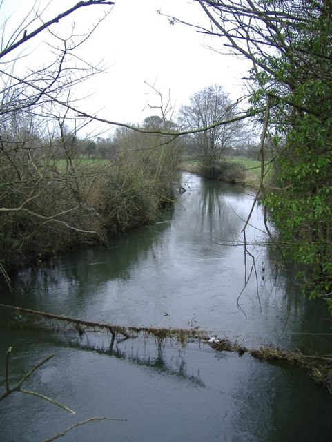
The village is known for its stunning natural beauty, with rolling green hills, meandering streams, and lush farmland surrounding the area. This makes it an ideal destination for those seeking a peaceful retreat or a place to reconnect with nature. The rural charm of Derry Fields is further enhanced by its wide range of flora and fauna, making it a haven for nature lovers and wildlife enthusiasts.

The community of Derry Fields is tight-knit and friendly, with a population of approximately 500 residents. The village boasts a range of amenities to cater to the needs of its inhabitants, including a local pub, a village hall, and a primary school. Additionally, there are several quaint cottages and houses that contribute to the village's charm.

For those looking to explore the surrounding areas, Derry Fields is conveniently located near popular tourist attractions such as Stonehenge and Avebury Stone Circle. The village is also well-connected to nearby towns and cities, with good transport links available.

Overall, Derry Fields offers a serene and picturesque setting, combined with a strong sense of community. Its natural beauty, friendly atmosphere, and convenient location make it an attractive place to live or visit for those seeking a peaceful countryside experience.

If you have any feedback on the listing, please let us know in the comments section below.
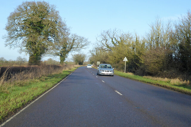
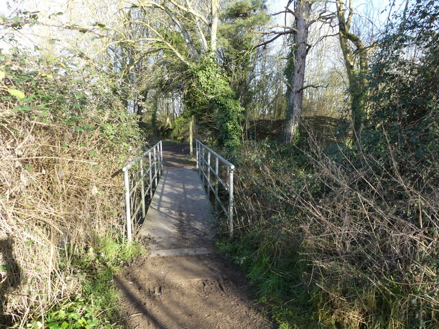
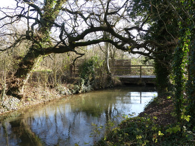
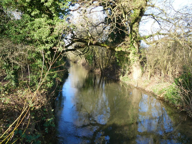
Derry Fields Images

Images are sourced within 2km of 51.635794/-1.9436005 or Grid Reference SU0493. Thanks to Geograph Open Source API. All images are credited.

B4696 heading north Towards Ashton Keynes and Cirencester.
B4696 heading north
Towards Ashton Keynes and Cirencester.
Footbridge over the River Thames, on the Thames Path near Somerford Keynes
Bridge over the River Thames, seen from the Thames Path, near Somerford Keynes
The River Thames seen from a bridge, near Somerford Keynes This bridge intersects with the Thames Path.
The River Thames seen from a bridge, near Somerford Keynes
This bridge intersects with the Thames Path.
Footbridge and track bridge across the River Thames, near Ashton Keynes The footpath is the Thames Path.
Footbridge and track bridge across the River Thames, near Ashton Keynes
The footpath is the Thames Path.
Footbridge seen from beside track bridge over the River Thames, near Ashton Keynes
Junction of track with the Thames Path, near Ashton Keynes
Stream that drains from the River Thames, near Ashton Keynes This is part of the extensive management of this watery area.  The river is bounded on either side by former gravel pits, now lakes.  The stream in the photo appears to contain a higher volume of water than what remained in the young River Thames.  When we arrived at Ashton Keynes and saw the course of the river, it became clear why this level of management is needed.  <a href="https://www.geograph.org.uk/photo/7078688">SU0494 : The River Thames takes a man-made course through Ashton Keynes</a>
Stream that drains from the River Thames, near Ashton Keynes
This is part of the extensive management of this watery area. The river is bounded on either side by former gravel pits, now lakes. The stream in the photo appears to contain a higher volume of water than what remained in the young River Thames. When we arrived at Ashton Keynes and saw the course of the river, it became clear why this level of management is needed. SU0494 : The River Thames takes a man-made course through Ashton Keynes
Approaching the road, along the Thames Path at Ashton Keynes
Approaching Ashton Keynes village along the Thames Path
The River Thames in Ashton Keynes, looking towards Church Lane
Junction of Church Walk and High Road, Ashton Keynes A former preaching cross is also shown.
Junction of Church Walk and High Road, Ashton Keynes
A former preaching cross is also shown.
The River Thames takes a man-made course through Ashton Keynes The river here is canalised through the village, which demonstrates why it is so important that there is careful flood management further up stream <a href="https://www.geograph.org.uk/photo/7078611">SU0394 : Stream that drains from the River Thames, near Ashton Keynes</a>.  An old preaching cross can also be seen in this photo.
The River Thames takes a man-made course through Ashton Keynes
The river here is canalised through the village, which demonstrates why it is so important that there is careful flood management further up stream SU0394 : Stream that drains from the River Thames, near Ashton Keynes. An old preaching cross can also be seen in this photo.
The village pub, with Mediaeval preaching cross, Ashton Keynes This was the second preaching cross I encountered in this village.  I have since learnt that it has four!
The village pub, with Mediaeval preaching cross, Ashton Keynes
This was the second preaching cross I encountered in this village. I have since learnt that it has four!
The villager shop and Post Office, phone box, and Village Hall, Ashton Keynes
Path from the village to Ashton Keynes church
The Thames at Ashton Keynes The Thames and the Thames Path a little to the west of the village of Ashton Keynes.
The Thames at Ashton Keynes
The Thames and the Thames Path a little to the west of the village of Ashton Keynes.
Footbridge beside the River Thames Footbridge beside the River Thames near Ashton Keynes.
Footbridge beside the River Thames
Footbridge beside the River Thames near Ashton Keynes.
Show me another place!

Derry Fields is located at Grid Ref: SU0493 (Lat: 51.635794, Lng: -1.9436005)

Unitary Authority: Wiltshire

Police Authority: Wiltshire

What 3 Words

///guests.stall.awakening. Near Ashton Keynes, Wiltshire

Nearby Locations

Derry Fields

Related Wikis

Pike Corner

Pike Corner (grid reference SU036933) is a 15.2 hectare biological Site of Special Scientific Interest in north Wiltshire, England, notified in 1986. The...

Swill Brook

Swill Brook is the name of a number of streams in England, the most notable of which is the Swill Brook in Wiltshire. This stream flows for some 10 km...

Ashton Keynes

Ashton Keynes is a village and civil parish in north Wiltshire, England which borders with Gloucestershire. The village is about 5 miles (8 km) south of...

Acres Farm Meadow

Acres Farm Meadow (grid reference SU024927) is a 4.2 hectare biological Site of Special Scientific Interest (SSSI) in Wiltshire, notified in 1989. It lies...

Cotswold Water Park

The Cotswold Water Park is the United Kingdom's largest marl lake system, straddling the Wiltshire–Gloucestershire border, north-west of Cricklade and...

Leigh, Wiltshire

Leigh is a village and civil parish in north Wiltshire, England, 1.5 miles (2.4 km) southeast of Ashton Keynes and 2.5 miles (4 km) west of Cricklade....

All Saints Church, Leigh

All Saints Church was built around 1250 at Leigh, north Wiltshire, England, and was originally on a site half a mile to the north of its current location...

Minety and Ashton Keynes railway station

Minety and Ashton Keynes railway station serving the village of Minety in Wiltshire, England, was opened in 1841 on the former Cheltenham and Great Western...

Nearby Amenities

Located within 500m of 51.635794,-1.9436005
The data included in this document is from www.openstreetmap.org. The data is made available under ODbL.

Have you been to Derry Fields?

Leave your review of Derry Fields below (or comments, questions and feedback).