Buckwheat Plantation
Wood, Forest in Derbyshire South Derbyshire
England
Buckwheat Plantation

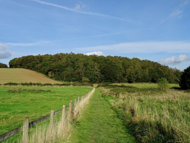
Buckwheat Plantation is a scenic woodland located in Derbyshire, England. Situated in the heart of the countryside, this sprawling forest spans across a vast area, offering visitors a tranquil and picturesque retreat. The plantation is renowned for its abundant growth of buckwheat, a grain-like seed that thrives in this region's fertile soil.
As one meanders through the plantation, they are greeted by a dense canopy of trees, creating a cool and serene atmosphere. The woodland is primarily composed of oak, beech, and chestnut trees, which not only enhance the beauty of the area but also provide a habitat for a diverse range of wildlife.
Buckwheat Plantation is a haven for nature enthusiasts and hikers alike. The well-maintained trails wind through the forest, allowing visitors to immerse themselves in the natural surroundings. Along the way, one may catch glimpses of native species such as deer, foxes, and a variety of bird species.
In addition to its natural beauty, Buckwheat Plantation offers various recreational activities. Picnic areas are scattered throughout the woodland, providing a perfect spot for families and friends to enjoy a leisurely day out. The plantation also features designated camping grounds for those who wish to extend their stay and experience the forest's enchantment during the night.
Overall, Buckwheat Plantation is a cherished natural gem in Derbyshire. Its idyllic setting, diverse flora and fauna, and range of recreational opportunities make it a must-visit destination for those seeking a peaceful escape in the heart of the English countryside.
If you have any feedback on the listing, please let us know in the comments section below.
Buckwheat Plantation Images
Images are sourced within 2km of 52.793097/-1.5603927 or Grid Reference SK2921. Thanks to Geograph Open Source API. All images are credited.


Buckwheat Plantation is located at Grid Ref: SK2921 (Lat: 52.793097, Lng: -1.5603927)
Administrative County: Derbyshire
District: South Derbyshire
Police Authority: Derbyshire
What 3 Words
///wheels.goats.happen. Near Swadlincote, Derbyshire
Nearby Locations
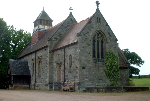
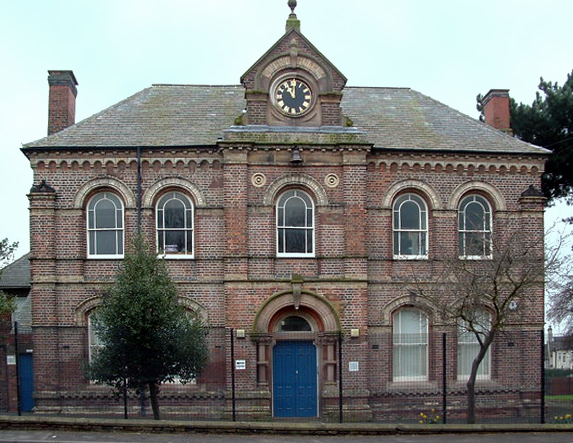
Related Wikis
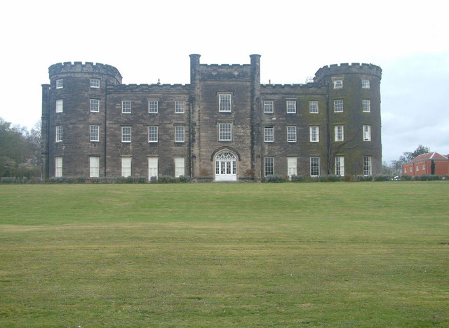
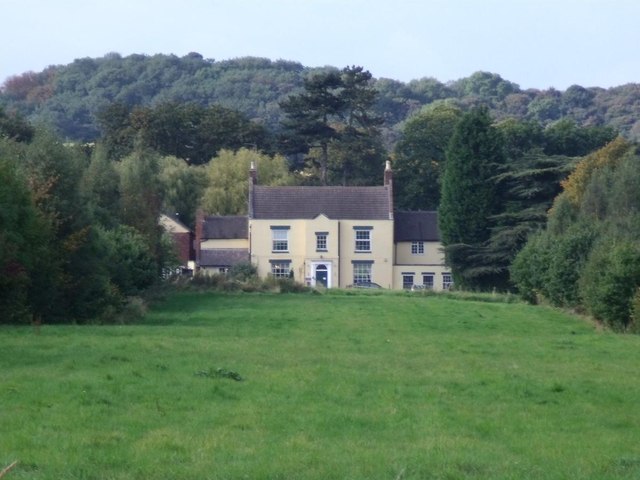
Bretby Hall
Bretby Hall is a country house at Bretby, Derbyshire, England, north of Swadlincote and east of Burton upon Trent on the border with Staffordshire. It...

Bees, Wasps and Ants Recording Society
The Bees, Wasps and Ants Recording Society (BWARS) is a British society dedicated to recording bees, wasps and ants. The recording of these insects is...

South Derbyshire (UK Parliament constituency)
South Derbyshire is a constituency represented in the House of Commons of the UK Parliament since 2010 by Heather Wheeler, a Conservative. == Boundaries... ==
Bretby
Bretby is a village and civil parish in the south of Derbyshire, England, north of Swadlincote and east of Burton upon Trent, on the border between Derbyshire...
William Allitt Academy
William Allitt Academy (formerly William Allitt School) is a co-educational secondary school located in the village of Newhall, Swadlincote in South Derbyshire...
The Pingle Academy
The Pingle Academy is a co-educational secondary school and sixth form located at Coronation Street in Swadlincote, South Derbyshire, England. The name...
Newhall, Derbyshire
Newhall is a village in the South Derbyshire district of Derbyshire, England. As of the 2011 census it had a population of 776. The village of Stanton...

South Derbyshire
South Derbyshire is a local government district in Derbyshire, England. The council is based in the town of Swadlincote. The district also contains numerous...
Related Videos

Hanging Toiletry Bag - Panther Travel
Hanging Toiletry Bag Perfect Travel bag for all your cosmetics and Toiletries.

*Beast*West Midlands travel MCW Metrobus 2912 D912NDA working service 21 to Burton upon Trent!
Here is preserved West Midlands Travel Time-Saver MCW Metrobus Mk2 2912 D912NDA working service 21 to Burton upon ...
Nearby Amenities
Located within 500m of 52.793097,-1.5603927Have you been to Buckwheat Plantation?
Leave your review of Buckwheat Plantation below (or comments, questions and feedback).