Derriton

Settlement in Devon Torridge

England

Derriton

Holsworthy town centre
Holsworthy town centre Credit: Roy Hughes

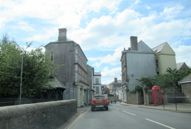
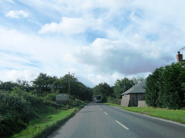
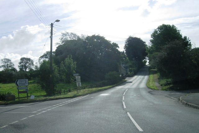
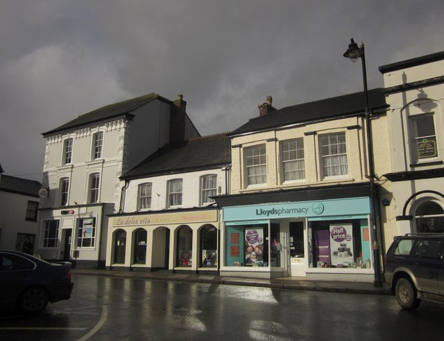
Derriton is a small village located in the county of Devon, England. Situated in the West Devon district, it is nestled in the picturesque countryside, offering stunning views of the surrounding rolling hills and meadows. The village is situated approximately 3 miles south of the market town of Holsworthy and about 10 miles from the North Cornwall coast.

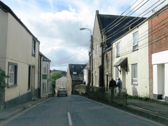
Derriton is a quiet and peaceful village, characterized by its charming rural atmosphere. The community is small, with a population of around 500 residents, creating a close-knit and friendly environment. The village is primarily residential, consisting of a mix of traditional stone cottages and newer housing developments.

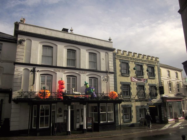
Though small, Derriton boasts a strong sense of community spirit. The village has a local primary school, providing education for the younger residents, and a village hall that serves as a hub for social gatherings and events. There is also a local pub, where residents and visitors can enjoy a drink and a meal.

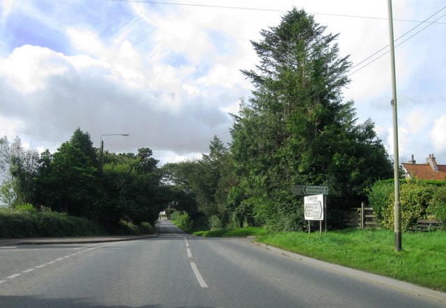
The surrounding countryside offers plenty of opportunities for outdoor activities such as hiking, cycling, and horse riding. The village is also conveniently located near the Tamar Valley Area of Outstanding Natural Beauty, providing further opportunities for exploration and outdoor pursuits.

Overall, Derriton is a charming and idyllic village in Devon, offering a peaceful rural lifestyle and easy access to the natural beauty of the surrounding area.

If you have any feedback on the listing, please let us know in the comments section below.
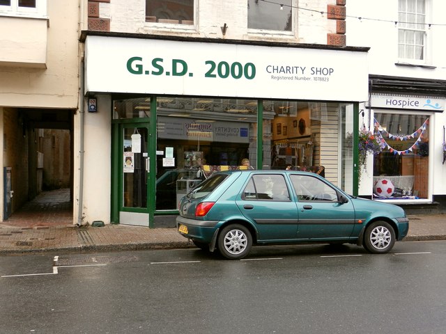
Derriton Images

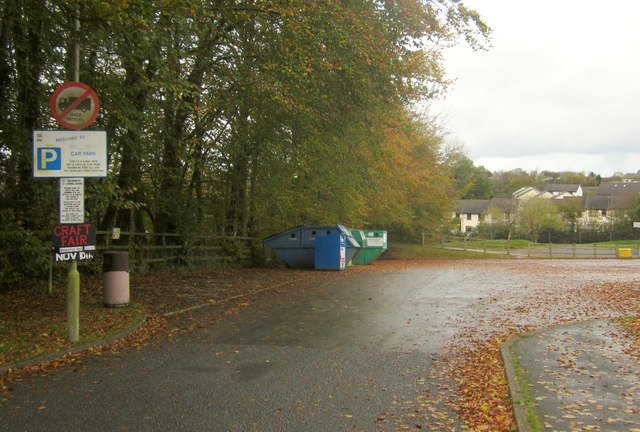
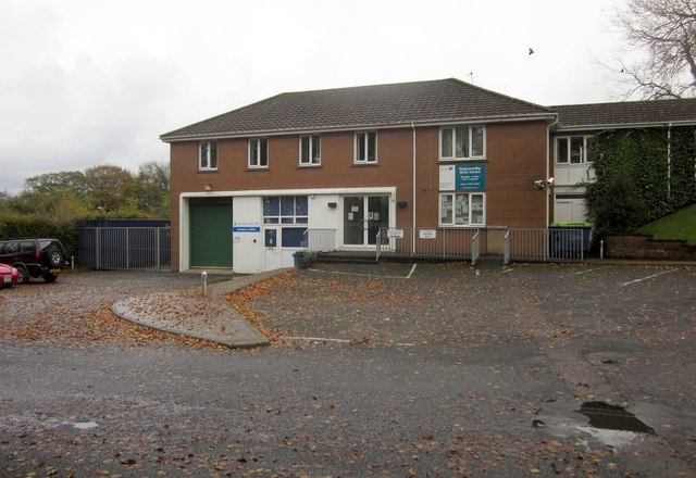
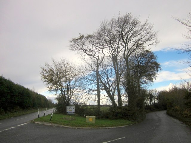
Images are sourced within 2km of 50.803928/-4.365515 or Grid Reference SS3303. Thanks to Geograph Open Source API. All images are credited.

Holsworthy town centre
The British Heart Foundation Charity Shop, 22 The Square, Holsworthy
North Devon Hospice Furniture Shop, 21b The Square, Holsworthy North Devon Hospice, Deer Park.
North Devon Hospice Furniture Shop, 21b The Square, Holsworthy
North Devon Hospice, Deer Park.
North Devon Hospice Charity Shop, 21a The Square, Holsworthy North Devon Hospice, Deer Park.
North Devon Hospice Charity Shop, 21a The Square, Holsworthy
North Devon Hospice, Deer Park.
G.S.D. 2000 Charity Shop, 20 The Square, Holsworthy
Entrance to Holsworthy
A388 southwest bound
Centre of Holsworthy
A388 south bound
A388 south bound
The Square, Holsworthy A closer view of the north side of the square shown in <a href="https://www.geograph.org.uk/photo/52908">SS3403 : The Square, Holsworthy</a> and <a href="https://www.geograph.org.uk/photo/1807620">SS3403 : The Square in Holsworthy</a>, with a bank and a pharmacy sandwiching an ice cream and sweet shop. The sun has emerged after a torrential rain and hail shower - it's very cold.
The Square, Holsworthy
A closer view of the north side of the square shown in SS3403 : The Square, Holsworthy and SS3403 : The Square in Holsworthy, with a bank and a pharmacy sandwiching an ice cream and sweet shop. The sun has emerged after a torrential rain and hail shower - it's very cold.
Building on The Square, Holsworthy Occupied by an arts and crafts shop, this building is to the right of those shown in <a href="https://www.geograph.org.uk/photo/3213822">SS3403 : The Square, Holsworthy</a>. Upstairs is the office of the clerk to the town council. Still looking for information about the lady with the trug, painted on the wall between the windows.
Building on The Square, Holsworthy
Occupied by an arts and crafts shop, this building is to the right of those shown in SS3403 : The Square, Holsworthy. Upstairs is the office of the clerk to the town council. Still looking for information about the lady with the trug, painted on the wall between the windows.
Adjacent pubs in Holsworthy Two listed pubs with distinctive parapets on Fore Street (the A388). On the left, decorated for Halloween (even if it is the 3rd November), is the C19 White Hart <span class="nowrap"><a title="http://list.english-heritage.org.uk/resultsingle.aspx?uid=1104942&searchtype=mapsearch" rel="nofollow ugc noopener" href="http://list.english-heritage.org.uk/resultsingle.aspx?uid=1104942&searchtype=mapsearch">Link</a><img style="margin-left:2px;" alt="External link" title="External link - shift click to open in new window" src="https://s1.geograph.org.uk/img/external.png" width="10" height="10"/></span> ; to its right is the early C20 Crown and Sceptre <span class="nowrap"><a title="http://list.english-heritage.org.uk/resultsingle.aspx?uid=1104941&searchtype=mapsearch" rel="nofollow ugc noopener" href="http://list.english-heritage.org.uk/resultsingle.aspx?uid=1104941&searchtype=mapsearch">Link</a><img style="margin-left:2px;" alt="External link" title="External link - shift click to open in new window" src="https://s1.geograph.org.uk/img/external.png" width="10" height="10"/></span> . Taken from what might be, at about 20 metres, one of the shortest high streets in the country.
Adjacent pubs in Holsworthy
Two listed pubs with distinctive parapets on Fore Street (the A388). On the left, decorated for Halloween (even if it is the 3rd November), is the C19 White Hart LinkExternal link ; to its right is the early C20 Crown and Sceptre LinkExternal link . Taken from what might be, at about 20 metres, one of the shortest high streets in the country.
Well Park car park, Holsworthy With 92 spaces. According to the internet, it costs a flat daily rate of £1, and £32 a month. Err...
Well Park car park, Holsworthy
With 92 spaces. According to the internet, it costs a flat daily rate of £1, and £32 a month. Err...
Holsworthy Skills Centre This is mapped as the Police Station, but I think a swap with a nearby vocational education centre must have taken place a little while ago; this is clearly labelled "Holsworthy Skills Centre", and the Police Station is now elsewhere in Well Park, next to the fire station.
Holsworthy Skills Centre
This is mapped as the Police Station, but I think a swap with a nearby vocational education centre must have taken place a little while ago; this is clearly labelled "Holsworthy Skills Centre", and the Police Station is now elsewhere in Well Park, next to the fire station.
Crosspark Cross Leafless beeches overlook the forked junction, with the A3072 Windmill Road on the left, and Waterloo Road heading right into Holsworthy.
Crosspark Cross
Leafless beeches overlook the forked junction, with the A3072 Windmill Road on the left, and Waterloo Road heading right into Holsworthy.
Traffic lights beside Derriton Viaduct Here it is probable that the road passed under a bridge for there is an abutment on the right hand side. Traffic-calming measures, through the installation of traffic lights, seem to have been put in place by making the road only wide enough for vehicles in one direction at a time.
Traffic lights beside Derriton Viaduct
Here it is probable that the road passed under a bridge for there is an abutment on the right hand side. Traffic-calming measures, through the installation of traffic lights, seem to have been put in place by making the road only wide enough for vehicles in one direction at a time.
The Square
The Square
Chapel Street
Chapel Street
Show me another place!

Derriton is located at Grid Ref: SS3303 (Lat: 50.803928, Lng: -4.365515)

Administrative County: Devon

District: Torridge

Police Authority: Devon and Cornwall

What 3 Words

///replaying.employer.thing. Near Holsworthy, Devon

Related Wikis

Holsworthy railway station

Holsworthy was a railway station in Devon, England, on the now-closed railway line from Okehampton to Bude. It opened in 1879 to serve the market town...

Holsworthy Community College

Holsworthy Community College is a co-educational secondary school located in Holsworthy in the English county of Devon.Previously a community school administered...

St Peter's and St Paul's Church, Holsworthy

St Peter's and St Paul's Church is a grade II* listed building and is the parish church of the small market town of Holsworthy, Devon, England. The present...

Holsworthy A.F.C.

Holsworthy Association Football Club is a football club based in Holsworthy, Devon, England. They play in the South West Peninsula League Premier Division...

Nearby Amenities

Located within 500m of 50.803928,-4.365515
Millennium Milepost Holsworthy
Description: 1) Derriton Viaduct 0.25, Holsworthy 0.5 2) Bude & The Atlantic Ocean 10
Image: https://www.cyclestreets.net/location/194719/cyclestreets194719.jpg
Information: guidepost
Ncn Milepost: mills
Sustrans Ref: MP 776
Tourism: information
Lat/Long: 50.8078324/-4.3679122
Derriton
Place: hamlet
Source: OS_OpenData_StreetView
Lat/Long: 50.8041397/-4.3637705
Place Of Worship
Source: OS_OpenData_StreetView
Lat/Long: 50.8021931/-4.3631407
Post Box
Collection Times: Mo-Fr 16:30; Sa 10:00
Post Box Design: waggon_top
Post Box Mounting: pier
Post Box Type: lamp
Ref: EX22 14
Royal Cypher: GR
Royal Cypher Wikidata: Q33102273
Lat/Long: 50.8038252/-4.3635558
Power: pole
Lat/Long: 50.805077/-4.3586326
Power: pole
Lat/Long: 50.8034938/-4.359161
Power: pole
Lat/Long: 50.8032853/-4.3605235
Power: pole
Lat/Long: 50.8030073/-4.3612987
Power: pole
Lat/Long: 50.8015071/-4.363022
Power: pole
Lat/Long: 50.8006341/-4.3632755
Power: pole
Lat/Long: 50.7996865/-4.3635705
Direction: SSW
Generator Method: photovoltaic
Generator Output Electricity: yes
Generator Solar Modules: 12
Generator Source: solar
Generator Type: solar_photovoltaic_panel
Location: roof
Power: generator
Lat/Long: 50.8038803/-4.3642478
Communication Mobile Phone: yes
Man Made: mast
Tower Type: communication
Lat/Long: 50.8064192/-4.3663536
The data included in this document is from www.openstreetmap.org. The data is made available under ODbL.

Have you been to Derriton?

Leave your review of Derriton below (or comments, questions and feedback).