Smith's Plantation
Wood, Forest in Hampshire Test Valley
England
Smith's Plantation

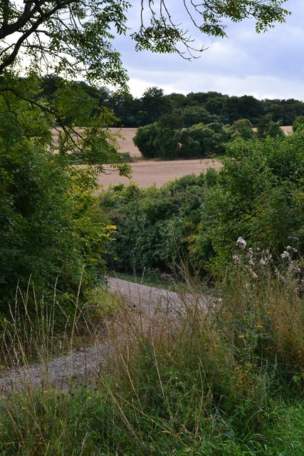
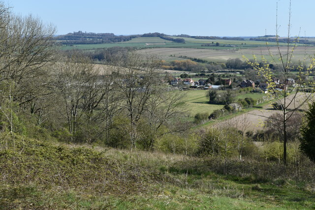
Smith's Plantation is a historic estate located in the picturesque Hampshire countryside, specifically in the woodlands of Hampshire Forest. The plantation, which spans over a vast area, is known for its lush greenery, towering trees, and serene atmosphere.
The plantation holds great historical significance, tracing its roots back to the 18th century when it was established by the Smith family. The Smiths were prominent landowners in the region, and their plantation served as a thriving agricultural and economic center during that era.
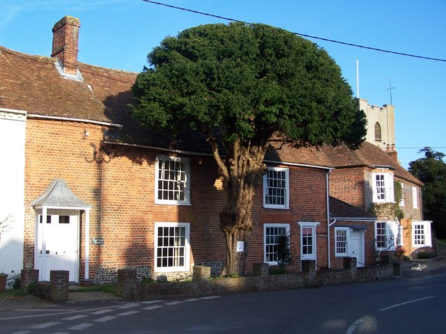
The estate features a magnificent manor house, built in the Georgian architectural style, which stands as a testament to the grandeur and opulence of the past. The manor is surrounded by beautifully landscaped gardens, which were meticulously designed to complement the natural beauty of the surroundings.
The plantation boasts a diverse range of flora and fauna, making it a haven for nature enthusiasts. The woodlands are home to various species of trees, including oak, maple, and pine, which provide a habitat for a wide array of wildlife. Visitors can often spot deer, foxes, and various bird species while exploring the woodland trails.
Smith's Plantation also offers recreational activities for visitors to enjoy. There are designated picnic areas where families can gather and enjoy the tranquility of the surroundings. The estate also provides opportunities for hiking, cycling, and horseback riding, allowing visitors to fully immerse themselves in the natural beauty of Hampshire Forest.
Overall, Smith's Plantation stands as a testament to the historical and natural heritage of Hampshire, offering a picturesque retreat for those seeking a glimpse into the region's rich past and enchanting woodland landscapes.
If you have any feedback on the listing, please let us know in the comments section below.
Smith's Plantation Images
Images are sourced within 2km of 51.0923/-1.5779151 or Grid Reference SU2932. Thanks to Geograph Open Source API. All images are credited.


Smith's Plantation is located at Grid Ref: SU2932 (Lat: 51.0923, Lng: -1.5779151)
Administrative County: Hampshire
District: Test Valley
Police Authority: Hampshire
What 3 Words
///fizzle.unspoiled.trickle. Near Middle Winterslow, Wiltshire
Nearby Locations
Related Wikis

Broughton Down
Broughton Down is a 45.8-hectare (113-acre) biological Site of Special Scientific Interest west of Broughton in Hampshire. The eastern half is a nature...
Broughton, Hampshire
Broughton is a village and civil parish in the Test Valley district of Hampshire, England, about 10 miles (16 km) north of Romsey. The Manor of Broughton...

Buckholt, Hampshire
Buckholt is a hamlet and civil parish in the Test Valley district of Hampshire, England, close to the border with Wiltshire. According to the 2001 census...

West Tytherley
West Tytherley is a village and civil parish in the Test Valley district of Hampshire, England. Its nearest town is Stockbridge, which lies approximately...
Houghton Down
Houghton Down is a hamlet in the civil parish of Houghton in the Test Valley district of Hampshire, England. Its nearest town is Stockbridge, which lies...
East Tytherley
East Tytherley is a small village in Hampshire, England.The name Tytherley comes from Old English and means thin or tender wood.The village was given to...

Nether Wallop
Nether Wallop is a village and civil parish in the Test Valley district of Hampshire, England. It is located approximately 3.7 miles (6 km) northwest of...
Battle of Guoloph
The Battle of Guoloph, also known as the Battle of Wallop, took place in the 5th century. Various dates have been put forward: 440 AD by Alfred Anscombe...
Nearby Amenities
Located within 500m of 51.0923,-1.5779151Have you been to Smith's Plantation?
Leave your review of Smith's Plantation below (or comments, questions and feedback).