Coumes Wood
Wood, Forest in Yorkshire
England
Coumes Wood

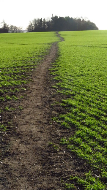
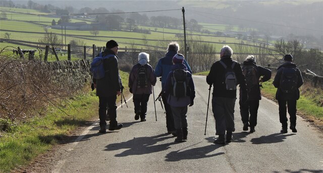
Coumes Wood is a picturesque forest located in Yorkshire, England. Covering an area of approximately 150 acres, the wood is known for its diverse range of flora and fauna, making it a popular destination for nature enthusiasts and hikers.
The wood is predominantly made up of native tree species such as oak, beech, and birch, which provide a vibrant display of colors throughout the seasons. Additionally, the forest floor is carpeted with an array of wildflowers, adding to the natural beauty of the area.
Coumes Wood is home to a variety of wildlife, including deer, foxes, and various species of birds. Birdwatchers often flock to the area to catch a glimpse of rare and migratory birds that can be found in the wood.
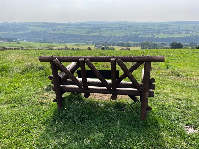
Visitors can explore the wood via a network of well-maintained trails that wind through the trees and offer stunning views of the surrounding countryside. There are also picnic areas and benches scattered throughout the wood, providing the perfect spot to relax and enjoy the peaceful surroundings.
Overall, Coumes Wood is a tranquil and scenic retreat that offers a glimpse into the natural beauty of the Yorkshire countryside.
If you have any feedback on the listing, please let us know in the comments section below.
Coumes Wood Images
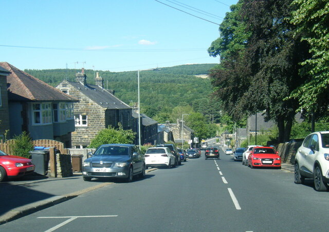
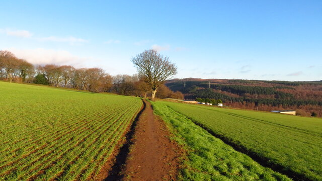
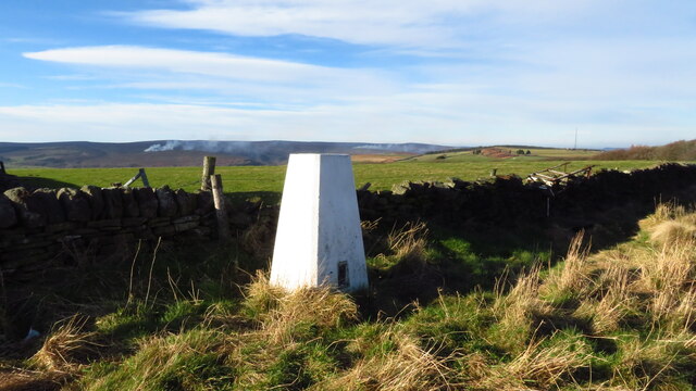
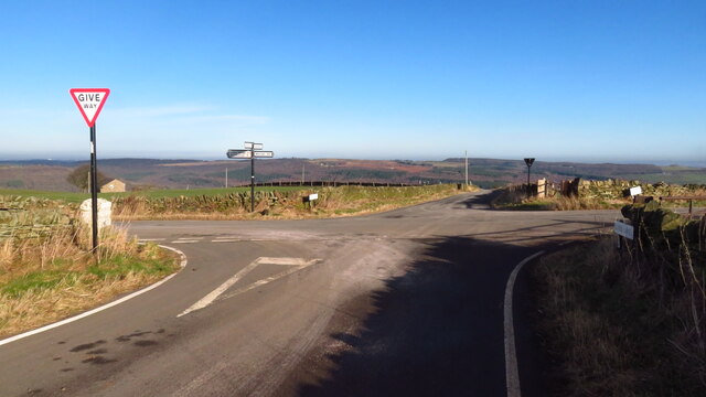
Images are sourced within 2km of 53.431942/-1.5557439 or Grid Reference SK2992. Thanks to Geograph Open Source API. All images are credited.


Coumes Wood is located at Grid Ref: SK2992 (Lat: 53.431942, Lng: -1.5557439)
Division: West Riding
Unitary Authority: Sheffield
Police Authority: South Yorkshire
What 3 Words
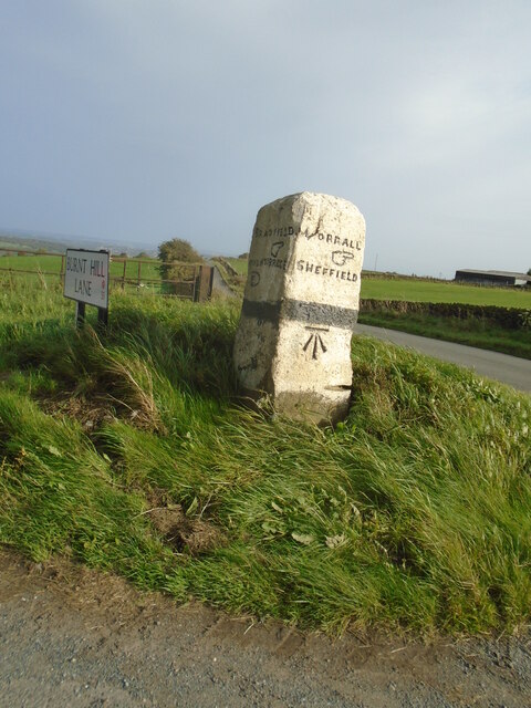
///such.foal.manliness. Near Oughtibridge, South Yorkshire
Nearby Locations
Related Wikis
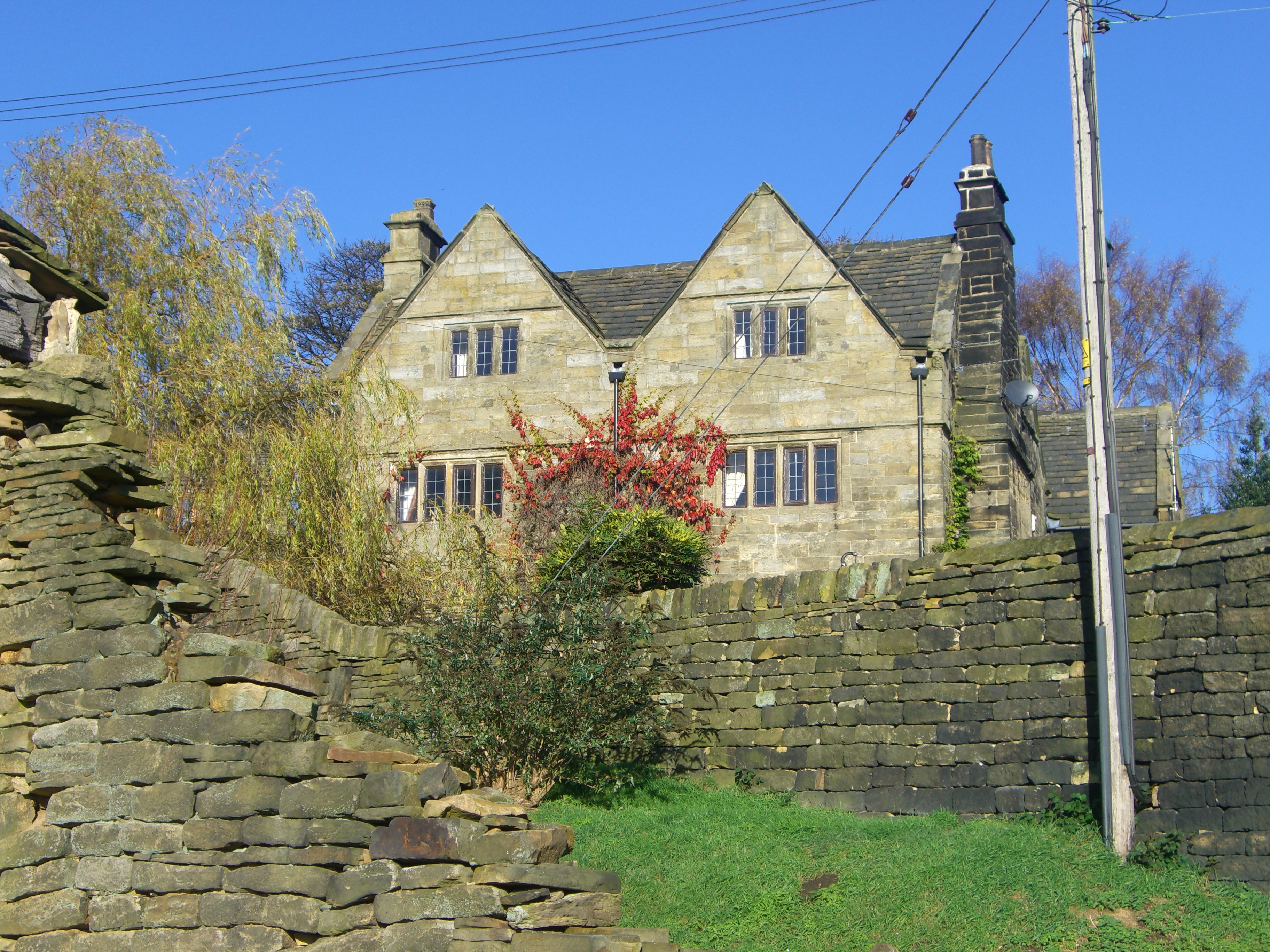
Onesacre Hall
Onesacre Hall is a Grade II* Listed building situated in the rural outskirts of the City of Sheffield in South Yorkshire, England. The hall is located...
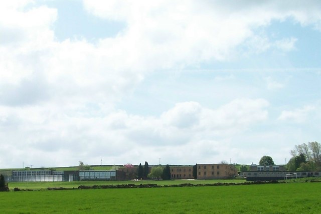
Bradfield School
Bradfield School is a secondary school with academy status situated on the edge of the village of Worrall, in the civil parish of Bradfield, in Sheffield...
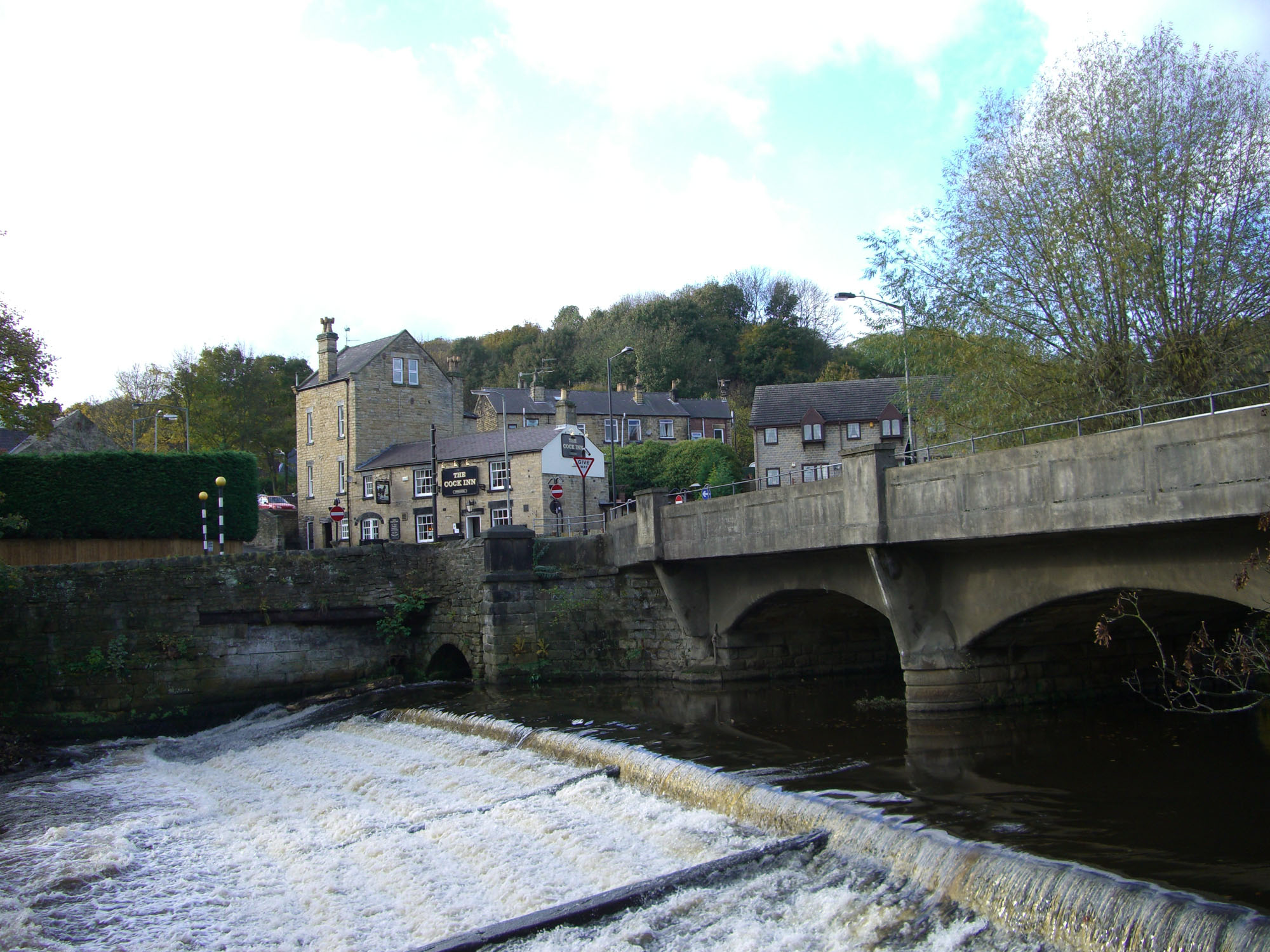
Oughtibridge
Oughtibridge ( OOT-i-brij) is a residential village in the north of Sheffield within the bounds of Bradfield civil parish. The village stands about 5 miles...

Monastery of The Holy Spirit, Sheffield
The Monastery of The Holy Spirit, known locally as Kirk Edge Convent is a Carmelite monastery for nuns. It is situated on Kirk Edge Road between the villages...
Nearby Amenities
Located within 500m of 53.431942,-1.5557439Have you been to Coumes Wood?
Leave your review of Coumes Wood below (or comments, questions and feedback).