Plestowes Spinney

Wood, Forest in Warwickshire Warwick

England

Plestowes Spinney

Bluebells in Oakley Wood Bang on time, 1st May, the bluebells are in flower.
Bluebells in Oakley Wood Credit: David P Howard

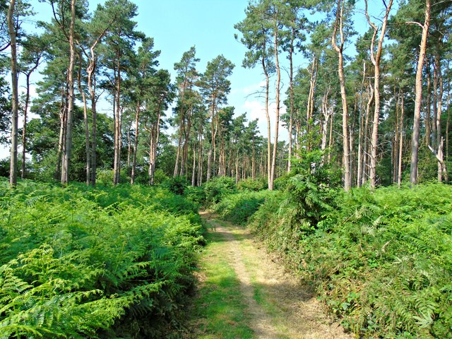
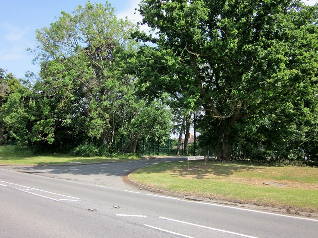
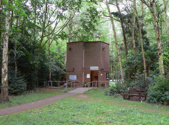
Plestowes Spinney is a picturesque woodland located in the county of Warwickshire, England. Covering an area of approximately 20 acres, it is a delightful destination for nature enthusiasts and those seeking tranquility amidst the hustle and bustle of everyday life.

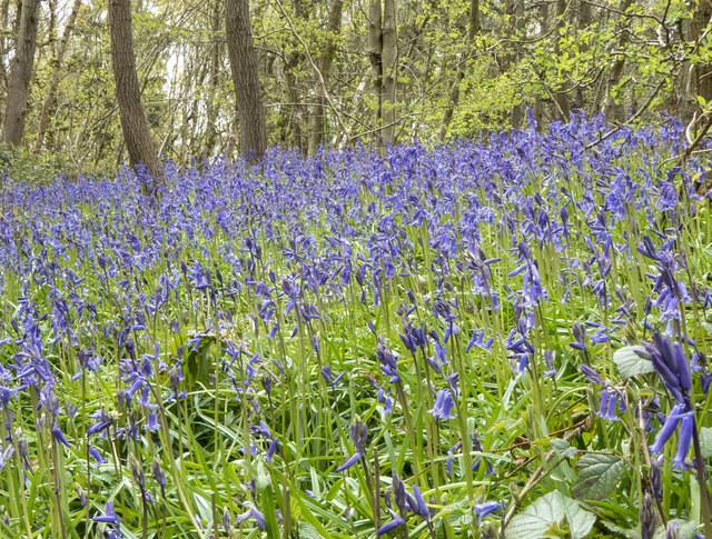
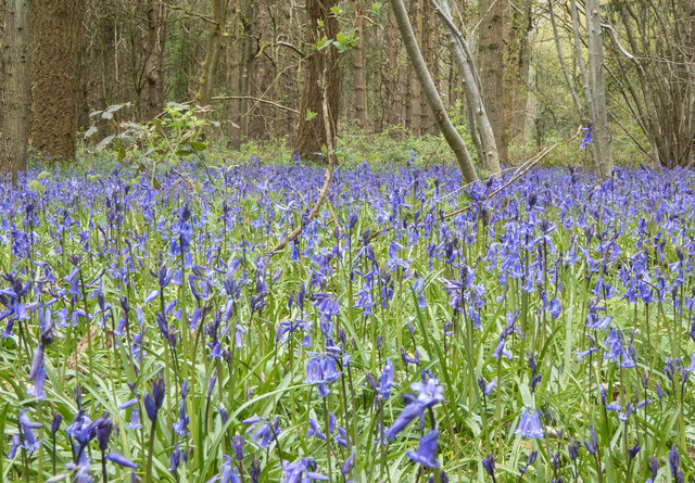
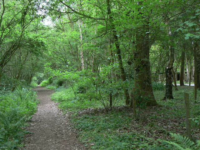
The spinney is characterized by its dense and diverse vegetation, consisting of a variety of native trees such as oak, ash, beech, and birch. These towering trees create a lush canopy that provides shade and shelter to an array of wildlife. The forest floor is carpeted with a rich undergrowth of ferns, wildflowers, and mosses, adding to the enchanting ambiance.

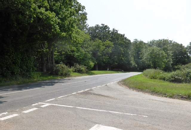
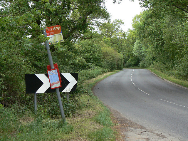
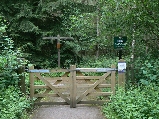
Traversing through Plestowes Spinney is a network of well-maintained footpaths and trails, allowing visitors to explore the woodland at their own pace. The paths wind their way through the trees, offering glimpses of the sunlight filtering through the foliage and casting dappled shadows on the forest floor.

The spinney is home to a diverse range of fauna, including numerous bird species, squirrels, and rabbits. The woodland provides a vital habitat for these creatures, offering them food, shelter, and protection. It is not uncommon to hear the melodious songs of birds or catch a glimpse of a red squirrel scampering through the trees.

Plestowes Spinney is a popular spot for nature walks, picnics, and photography, attracting locals and tourists alike. Its peaceful atmosphere and natural beauty make it an ideal place to escape from the pressures of modern life and reconnect with the natural world.

If you have any feedback on the listing, please let us know in the comments section below.

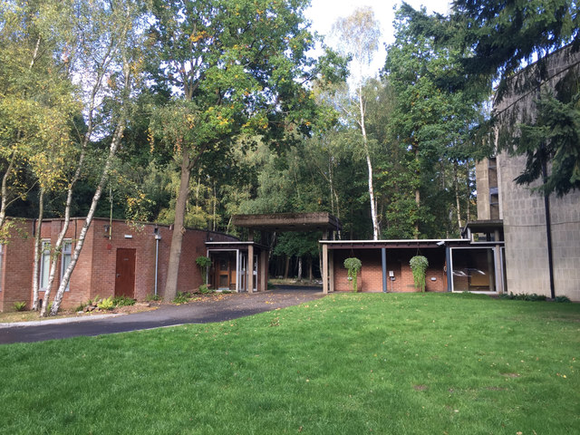
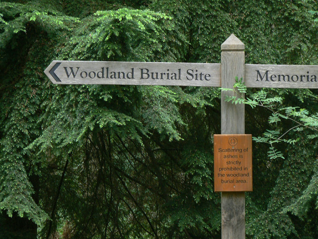
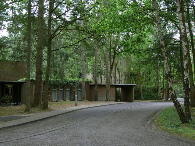
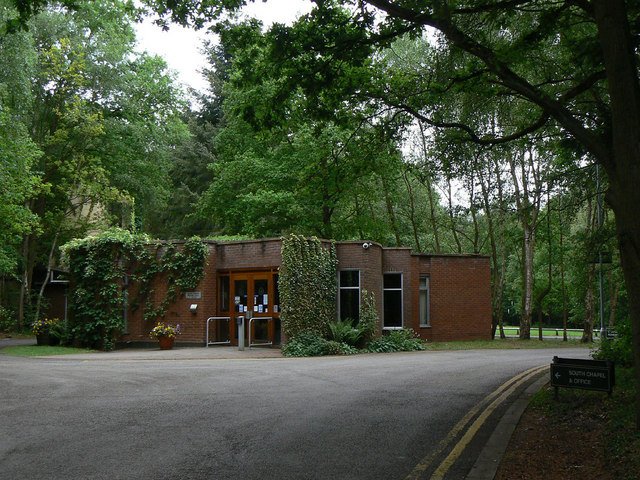
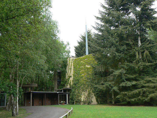
Plestowes Spinney Images

Images are sourced within 2km of 52.242974/-1.5677647 or Grid Reference SP2960. Thanks to Geograph Open Source API. All images are credited.

Bluebells in Oakley Wood Bang on time, 1st May, the bluebells are in flower.
Bluebells in Oakley Wood
Bang on time, 1st May, the bluebells are in flower.
Bluebells in Oakley Wood Bang on time, 1st May, the bluebells are in flower.
Bluebells in Oakley Wood
Bang on time, 1st May, the bluebells are in flower.
The B4087 at Oakley Wood
Oakley Wood Old workings in a field on the road to Bishop's Tachbrook.
Oakley Wood
Old workings in a field on the road to Bishop's Tachbrook.
Covered way, South Warwickshire Crematorium, Oakley Wood It shelters the path between the office and the South Chapel, right. <span class="nowrap"><a title="https://www.warwickdc.gov.uk/info/20645/oakley_wood_crematorium" rel="nofollow ugc noopener" href="https://www.warwickdc.gov.uk/info/20645/oakley_wood_crematorium">Link</a><img style="margin-left:2px;" alt="External link" title="External link - shift click to open in new window" src="https://s1.geograph.org.uk/img/external.png" width="10" height="10"/></span>
Covered way, South Warwickshire Crematorium, Oakley Wood
It shelters the path between the office and the South Chapel, right. LinkExternal link
Fly-tipping in a field entrance by the B4087 south of Bishop’s Tachbrook Unexplained landforms in the field are perhaps shelter for livestock. On the right, traffic on the M40; junction 13 is left of centre. The B4087 Tachbrook Road-Oakley Wood Road comes south from Leamington: a common sight is a funeral cortège heading for the Mid-Warwickshire Crematorium in Oakley Wood <a href="https://www.geograph.org.uk/photo/3466342">SP3059 : Mid Warwickshire Crematorium, South Chapel</a>.
Fly-tipping in a field entrance by the B4087 south of Bishop’s Tachbrook
Unexplained landforms in the field are perhaps shelter for livestock. On the right, traffic on the M40; junction 13 is left of centre. The B4087 Tachbrook Road-Oakley Wood Road comes south from Leamington: a common sight is a funeral cortège heading for the Mid-Warwickshire Crematorium in Oakley Wood SP3059 : Mid Warwickshire Crematorium, South Chapel.
Solar farm by Tollgate Farm Glimpsed from the B4087 Oakley Wood Road; the northeastern edge is visible from the M40. The panels face south in rows running east-west. The land falls away to the northeast (right to left in the photo), from about 85m down to 75m. The site covers perhaps nine hectares.
Solar farm by Tollgate Farm
Glimpsed from the B4087 Oakley Wood Road; the northeastern edge is visible from the M40. The panels face south in rows running east-west. The land falls away to the northeast (right to left in the photo), from about 85m down to 75m. The site covers perhaps nine hectares.
Path through Oakley Wood
Oakley Wood-Tollgate Farm Entrance On the B4100.
Oakley Wood-Tollgate Farm Entrance
On the B4100.
Bus stop at Oakley Wood This principally serves the adjacent crematorium.
Bus stop at Oakley Wood
This principally serves the adjacent crematorium.
Path through Oakley Wood To the right of the fence are the grounds of the Mid Warwickshire Crematorium.
Path through Oakley Wood
To the right of the fence are the grounds of the Mid Warwickshire Crematorium.
Memorial woodland The gate gives access from the Crematorium; much of the wood is dedicated to burial or scattering of ashes.
Memorial woodland
The gate gives access from the Crematorium; much of the wood is dedicated to burial or scattering of ashes.
Crematorium signpost The information is self-explanatory.
Crematorium signpost
The information is self-explanatory.
Oakley Wood Crematorium Access to the South Chapel.
Oakley Wood Crematorium
Access to the South Chapel.
Oakley Wood Crematorium Administrative building and waiting room.
Oakley Wood Crematorium
Administrative building and waiting room.
Oakley Wood Crematorium The South Chapel
Oakley Wood Crematorium
The South Chapel
Oakley Wood Crematorium The Chapel of Remembrance.
Oakley Wood Crematorium
The Chapel of Remembrance.
Oakley Wood Crematorium Properly the Mid Warwickshire Crematorium. This is the main entrance to the site.
Oakley Wood Crematorium
Properly the Mid Warwickshire Crematorium. This is the main entrance to the site.
Show me another place!

Plestowes Spinney is located at Grid Ref: SP2960 (Lat: 52.242974, Lng: -1.5677647)

Administrative County: Warwickshire

District: Warwick

Police Authority: Warwickshire

What 3 Words

///merge.canine.havens. Near Warwick, Warwickshire

Nearby Locations

Plestowes Spinney

Related Wikis

Bishop's Tachbrook

Bishop's Tachbrook is a village and civil parish in the Warwick District of Warwickshire, England. The village is about 3 miles (5 km) south of Warwick...

Ashorne Hill House

Ashorne Hill House, Ashorne, Warwickshire, England is a late Victorian country house built for Arthur and Ethel Tree by the architect Edward Goldie between...

Barford, Warwickshire

Barford is a village and civil parish in the Warwick district of Warwickshire, England, about three miles south of Warwick. As at the 2001 census the parish...

Oakley School, Bishop's Tachbrook

Oakley School is a coeducational all-through school located in Bishop's Tachbrook (near Leamington Spa and Warwick) The school formally opened in September...

Ashorne Hall Railway

The Ashorne Hall Railway was a ridable miniature railway in Warwickshire, England. It was conceived as an added attraction to the collection of mechanical...

RAF Warwick

RAF Warwick is a former Royal Air Force relief landing ground located 1.7 miles (2.7 km) south west of Warwick, Warwickshire, England. RAF Warwick was...

Newbold Pacey

Newbold Pacey is a village and civil parish 5 miles (8 km) south of Warwick, in the Stratford-on-Avon district of Warwickshire, England. The parish includes...

Thelsford Priory

Thelsford Priory is a site listed by the Historic Buildings and Monuments Commission for England.Thelsford Priory was a small house, originally of the...

Nearby Amenities

Located within 500m of 52.242974,-1.5677647
Material: wood
Operator: National Grid Electricity Distribution
Operator Wikidata: Q7988183
Power: pole
Lat/Long: 52.2384968/-1.567145
Material: wood
Operator: National Grid Electricity Distribution
Operator Wikidata: Q7988183
Power: pole
Lat/Long: 52.2394396/-1.5665227
Material: wood
Operator: National Grid Electricity Distribution
Operator Wikidata: Q7988183
Power: pole
Lat/Long: 52.2404497/-1.5657717
Material: wood
Operator: National Grid Electricity Distribution
Operator Wikidata: Q7988183
Power: pole
Lat/Long: 52.2414122/-1.5650556
Material: wood
Operator: National Grid Electricity Distribution
Operator Wikidata: Q7988183
Power: pole
Lat/Long: 52.2423237/-1.5656242
Material: wood
Operator: National Grid Electricity Distribution
Operator Wikidata: Q7988183
Power: pole
Lat/Long: 52.2432894/-1.5662143
Material: wood
Operator: National Grid Electricity Distribution
Operator Wikidata: Q7988183
Power: pole
Lat/Long: 52.2441418/-1.5667319
Material: wood
Operator: National Grid Electricity Distribution
Operator Wikidata: Q7988183
Power: pole
Lat/Long: 52.2406468/-1.5624458
Material: wood
Operator: National Grid Electricity Distribution
Operator Wikidata: Q7988183
Power: pole
Lat/Long: 52.2418556/-1.5624994
Material: wood
Operator: National Grid Electricity Distribution
Operator Wikidata: Q7988183
Power: pole
Lat/Long: 52.2424321/-1.5638834
Material: wood
Operator: National Grid Electricity Distribution
Operator Wikidata: Q7988183
Power: pole
Lat/Long: 52.2431022/-1.5655223
Material: wood
Operator: National Grid Electricity Distribution
Operator Wikidata: Q7988183
Power: pole
Lat/Long: 52.2439151/-1.5660989
Material: wood
Operator: National Grid Electricity Distribution
Operator Wikidata: Q7988183
Power: pole
Lat/Long: 52.244848/-1.567153
Material: wood
Operator: National Grid Electricity Distribution
Operator Wikidata: Q7988183
Power: pole
Lat/Long: 52.2448496/-1.566748
Location Transition: yes
Material: wood
Operator: National Grid Electricity Distribution
Operator Wikidata: Q7988183
Power: pole
Lat/Long: 52.2457512/-1.5676814
Location Transition: yes
Material: wood
Operator: National Grid Electricity Distribution
Operator Wikidata: Q7988183
Power: pole
Lat/Long: 52.245812/-1.5674347
Generator Method: photovoltaic
Generator Output Electricity: yes
Generator Source: solar
Generator Type: solar_photovoltaic_panel
Power: generator
Lat/Long: 52.2445008/-1.5717951
The data included in this document is from www.openstreetmap.org. The data is made available under ODbL.

Have you been to Plestowes Spinney?

Leave your review of Plestowes Spinney below (or comments, questions and feedback).