Highwall Spinney

Wood, Forest in Warwickshire Stratford-on-Avon

England

Highwall Spinney

Highwall Spinney from Milne Hill The spinney crowns Brailes Hill and is the second highest point in Warwickshire. The spinney is highly visible from much of south Warwickshire and from many areas of north Oxfordshire and North Gloucestershire.
Highwall Spinney from Milne Hill Credit: Michael Dibb

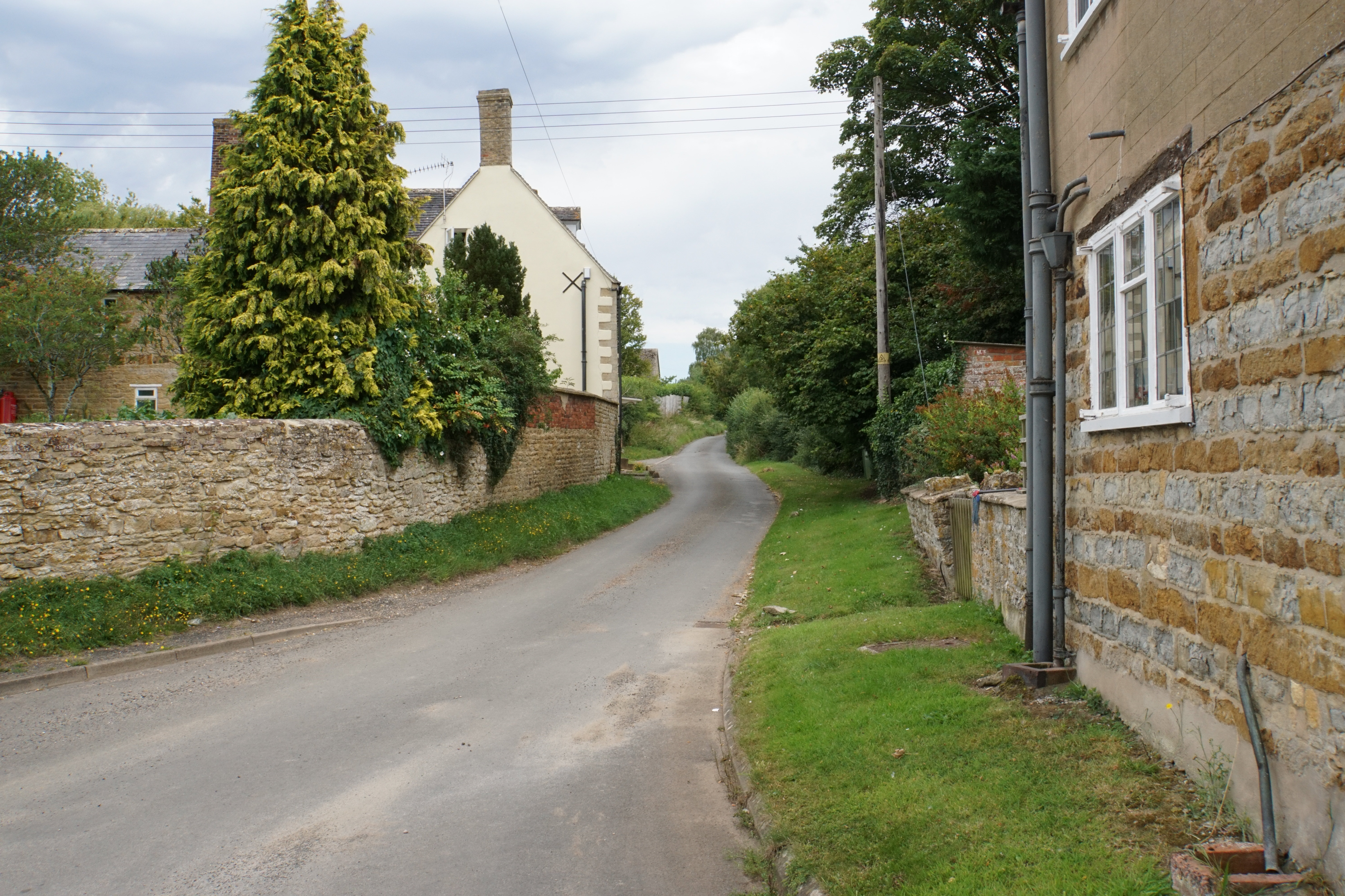
Highwall Spinney is a picturesque woodland located in Warwickshire, England. This enchanting forest covers an area of approximately 10 acres and is known for its dense canopy of tall trees and lush undergrowth. Situated on the outskirts of the village of Highwall, it is a popular destination for nature enthusiasts, hikers, and birdwatchers.

The woodland is primarily composed of mature oak, ash, and beech trees, which provide a rich habitat for a variety of wildlife species. The forest floor is covered in a thick carpet of moss, ferns, and wildflowers, creating a vibrant and diverse ecosystem. Visitors can expect to encounter a wide range of flora and fauna, including deer, foxes, badgers, and a plethora of bird species.

Highwall Spinney is crisscrossed by a network of well-maintained footpaths, allowing visitors to explore the woods at their own pace. There are several designated picnic areas and benches scattered throughout the forest, providing opportunities for visitors to relax and enjoy the tranquil surroundings. The woodland is particularly stunning in the spring when the forest floor is carpeted with bluebells and the trees burst into a vibrant display of fresh green leaves.

Managed by the local council, Highwall Spinney offers a peaceful escape from the hustle and bustle of everyday life. Whether it is a leisurely stroll, a family picnic, or a birdwatching adventure, this charming woodland provides a serene and rejuvenating experience for all who visit.

If you have any feedback on the listing, please let us know in the comments section below.

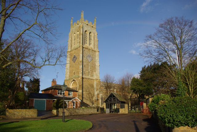
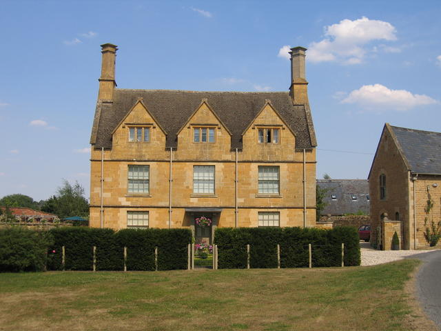
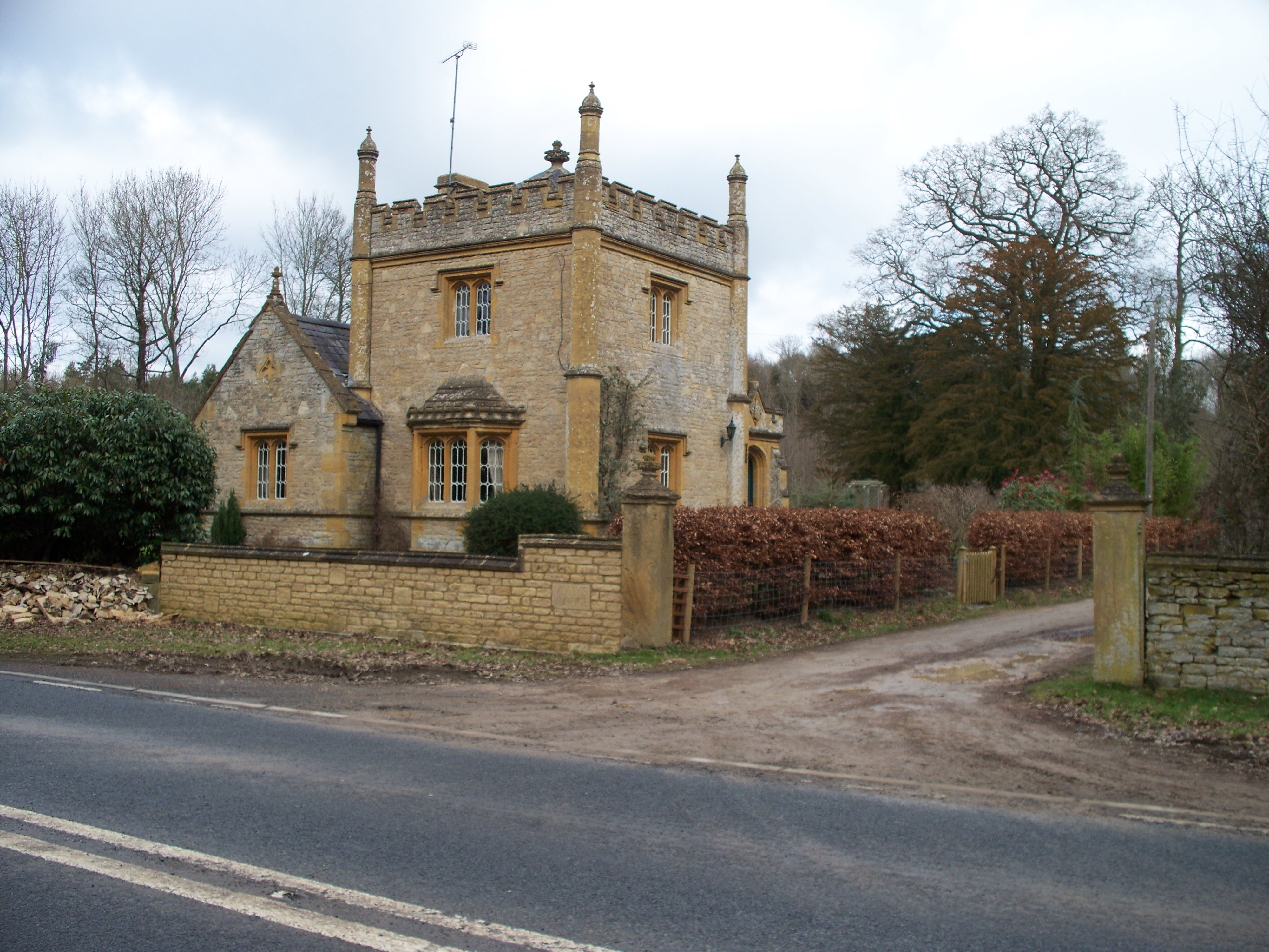
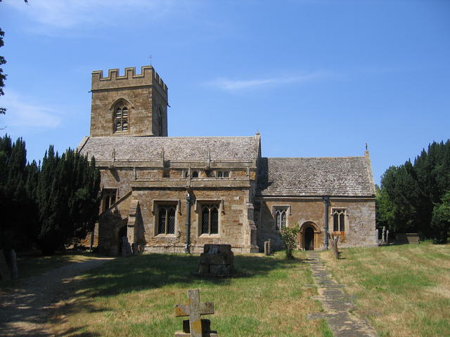
Highwall Spinney Images

Images are sourced within 2km of 52.048556/-1.570823 or Grid Reference SP2938. Thanks to Geograph Open Source API. All images are credited.

Highwall Spinney from Milne Hill The spinney crowns Brailes Hill and is the second highest point in Warwickshire. The spinney is highly visible from much of south Warwickshire and from many areas of north Oxfordshire and North Gloucestershire.
Highwall Spinney from Milne Hill
The spinney crowns Brailes Hill and is the second highest point in Warwickshire. The spinney is highly visible from much of south Warwickshire and from many areas of north Oxfordshire and North Gloucestershire.
Highwall Spinney from Icomb Hill On this exceptionally clear day, the spinney, some 11½ miles distant, is clearly seen.  The spinney crowns Brailes Hill and is the second highest point in Warwickshire. The spinney is highly visible from much of south Warwickshire and from many areas of north Oxfordshire and north Gloucestershire.
Highwall Spinney from Icomb Hill
On this exceptionally clear day, the spinney, some 11½ miles distant, is clearly seen. The spinney crowns Brailes Hill and is the second highest point in Warwickshire. The spinney is highly visible from much of south Warwickshire and from many areas of north Oxfordshire and north Gloucestershire.
Highwall Spinney from near St Dennis The spinney crowns Brailes Hill and is the second highest point in Warwickshire. The spinney is highly visible from much of south Warwickshire and from many areas of north Oxfordshire and North Gloucestershire.
Highwall Spinney from near St Dennis
The spinney crowns Brailes Hill and is the second highest point in Warwickshire. The spinney is highly visible from much of south Warwickshire and from many areas of north Oxfordshire and North Gloucestershire.
Church in Sutton-under-Brailes
Highwall Spinney from near Hill Barn The spinney crowns Brailes Hill and is the second highest point in Warwickshire. The spinney is highly visible from much of south Warwickshire and from many areas of north Oxfordshire and North Gloucestershire.  The tower of the church of St George in Lower Brailes is prominent.  Seen from the bridleway near Hill Barn.
Highwall Spinney from near Hill Barn
The spinney crowns Brailes Hill and is the second highest point in Warwickshire. The spinney is highly visible from much of south Warwickshire and from many areas of north Oxfordshire and North Gloucestershire. The tower of the church of St George in Lower Brailes is prominent. Seen from the bridleway near Hill Barn.
Highwall Spinney from near Upper Chelmscote Highwall Spinney crowns Brailes Hill and is a prominent landmark.
Highwall Spinney from near Upper Chelmscote
Highwall Spinney crowns Brailes Hill and is a prominent landmark.
Highwall Spinney from near Fodge Farm The spinney crowns Brailes Hill and is the second highest point in Warwickshire. The spinney is highly visible from much of south Warwickshire and from many areas of north Oxfordshire and North Gloucestershire.  Fodge Farm is between Hook Norton and Sibford Ferris.
Highwall Spinney from near Fodge Farm
The spinney crowns Brailes Hill and is the second highest point in Warwickshire. The spinney is highly visible from much of south Warwickshire and from many areas of north Oxfordshire and North Gloucestershire. Fodge Farm is between Hook Norton and Sibford Ferris.
Highwall Spinney from near Ettington The spinney crowns Brailes Hill and is the second highest point in Warwickshire. The spinney is highly visible from much of south Warwickshire and from many areas of north Oxfordshire and North Gloucestershire. The spinney is some 7 miles distant from the camera.
Highwall Spinney from near Ettington
The spinney crowns Brailes Hill and is the second highest point in Warwickshire. The spinney is highly visible from much of south Warwickshire and from many areas of north Oxfordshire and North Gloucestershire. The spinney is some 7 miles distant from the camera.
Highwall Spinney from near Oxhill Some 4 miles away, the spinney crowns Brailes Hill and is the second highest point in Warwickshire. The spinney is highly visible from much of south Warwickshire and from many areas of north Oxfordshire and North Gloucestershire.  Kirby Farm is seen on the left edge of the image.
Highwall Spinney from near Oxhill
Some 4 miles away, the spinney crowns Brailes Hill and is the second highest point in Warwickshire. The spinney is highly visible from much of south Warwickshire and from many areas of north Oxfordshire and North Gloucestershire. Kirby Farm is seen on the left edge of the image.
Highwall Spinney from near Great Wolford The spinney crowns Brailes Hill and is the second highest point in Warwickshire. The spinney is highly visible from much of south Warwickshire and from many areas of north Oxfordshire and North Gloucestershire.
Highwall Spinney from near Great Wolford
The spinney crowns Brailes Hill and is the second highest point in Warwickshire. The spinney is highly visible from much of south Warwickshire and from many areas of north Oxfordshire and North Gloucestershire.
Highwall Spinney from Gallow Hill The spinney crowns Brailes Hill and is the second highest point in Warwickshire. The spinney is highly visible from much of south Warwickshire and from many areas of north Oxfordshire and north Gloucestershire.
Highwall Spinney from Gallow Hill
The spinney crowns Brailes Hill and is the second highest point in Warwickshire. The spinney is highly visible from much of south Warwickshire and from many areas of north Oxfordshire and north Gloucestershire.
View south towards Sutton-under-Brailes View into and over Square SP 2937
View south towards Sutton-under-Brailes
View into and over Square SP 2937
Highwall Spinney Highwall Spinney, beech trees on the summit of Brailes Hill.
Highwall Spinney
Highwall Spinney, beech trees on the summit of Brailes Hill.
Beech trees on Brailes Hill Beech trees in Highwall Spinney on summit of Brailes Hill.
Beech trees on Brailes Hill
Beech trees in Highwall Spinney on summit of Brailes Hill.
Farm road on Brailes Hill Farm road passing through beech trees in Highwall Spinney on the summit of Brailes Hill.
Farm road on Brailes Hill
Farm road passing through beech trees in Highwall Spinney on the summit of Brailes Hill.
Trig point on Brailes Hill Trig point within Highwall Spinney on Brailes Hill.
Trig point on Brailes Hill
Trig point within Highwall Spinney on Brailes Hill.
View to Shipston-on-Stour View to Shipston-on-Stour from Brailes Hill.
View to Shipston-on-Stour
View to Shipston-on-Stour from Brailes Hill.
Bridleway on Brailes Hill Bridleway on the northern slopes of Brailes Hill.
Bridleway on Brailes Hill
Bridleway on the northern slopes of Brailes Hill.
Show me another place!

Highwall Spinney is located at Grid Ref: SP2938 (Lat: 52.048556, Lng: -1.570823)

Administrative County: Warwickshire

District: Stratford-on-Avon

Police Authority: Warwickshire

What 3 Words

///masses.outbound.salon. Near Lower Brailes, Warwickshire

Related Wikis

Sutton-under-Brailes

Sutton-under-Brailes is a village and civil parish 17 miles (27 km) south of Warwick, in the Stratford-on-Avon district of Warwickshire, England. Adjacent...

Brailes

Brailes is a civil parish about 3 miles (5 km) east of Shipston-on-Stour in Warwickshire, England. It includes the two villages of Lower and Upper Brailes...

Stourton, Warwickshire

Stourton is a village and civil parish beside the River Stour about 3 miles (5 km) southeast of Shipston-on-Stour. The population taken at the 2011 census...

Cherington, Warwickshire

Cherington is a village and civil parish beside the River Stour about 3 miles (5 km) southeast of Shipston-on-Stour. Cherington is contiguous with the...

Shipston-on-Stour Rural District

Shipston on Stour was a rural district in England from 1894 to 1974. [1] The district covered an area around Shipston-on-Stour. Originally it was a detached...

Evolution of Worcestershire county boundaries since 1844

The administrative boundaries of Worcestershire, England have been fluid for over 150 years since the first major changes in 1844. There were many detached...

Barcheston

Barcheston is a village and civil parish in the Stratford-on-Avon district of Warwickshire, England. The village is on the east bank of the River Stour...

Willington, Warwickshire

Willington is a village in Warwickshire, England. Population details are included within Barcheston. The origin of the place-name is from Old English tun...

Nearby Amenities

Located within 500m of 52.048556,-1.570823
Brailes Hill
Ele: 230
Natural: peak
Source: NPE
Lat/Long: 52.0477189/-1.5715721
Round Hill Barn
Power: transformer
Transformer: distribution
Voltage Primary: 11000
Lat/Long: 52.0506728/-1.5685981
The data included in this document is from www.openstreetmap.org. The data is made available under ODbL.

Have you been to Highwall Spinney?

Leave your review of Highwall Spinney below (or comments, questions and feedback).