Farley Brow Plantation

Wood, Forest in Derbyshire Derbyshire Dales

England

Farley Brow Plantation

Sandy Lane heading to Sandy Lane Farm
Sandy Lane heading to Sandy Lane Farm Credit: Neil Theasby

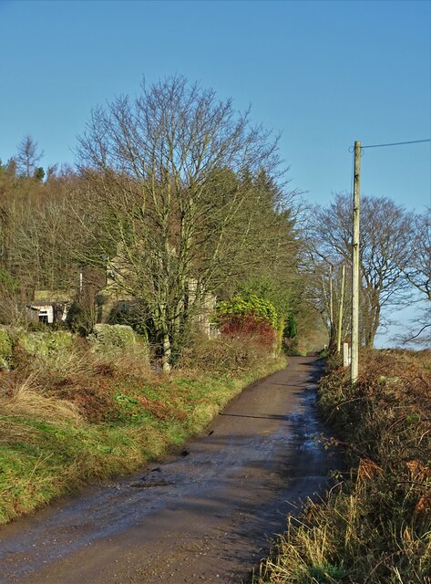
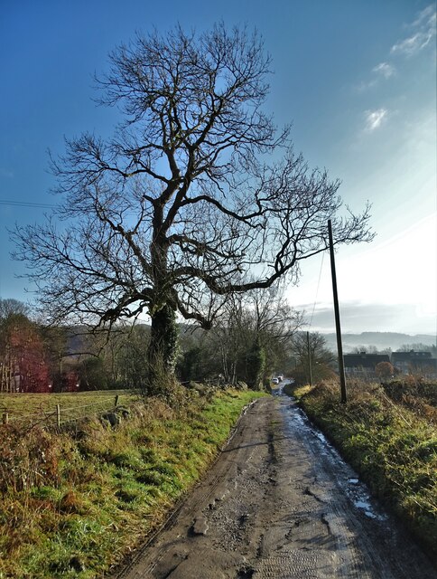
Farley Brow Plantation, located in Derbyshire, is a stunning woodland forest that spans over a vast area. Situated in the heart of the English countryside, this plantation offers a tranquil and serene setting for nature enthusiasts and hikers alike.

The plantation is home to a diverse range of flora and fauna, with a variety of tree species including oak, beech, and birch. The dense canopy of trees creates a cool and shaded environment, perfect for escaping the summer heat. Additionally, the forest floor is covered in a lush carpet of ferns, mosses, and wildflowers, adding to the visual appeal of the plantation.

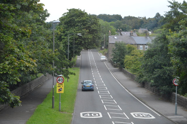
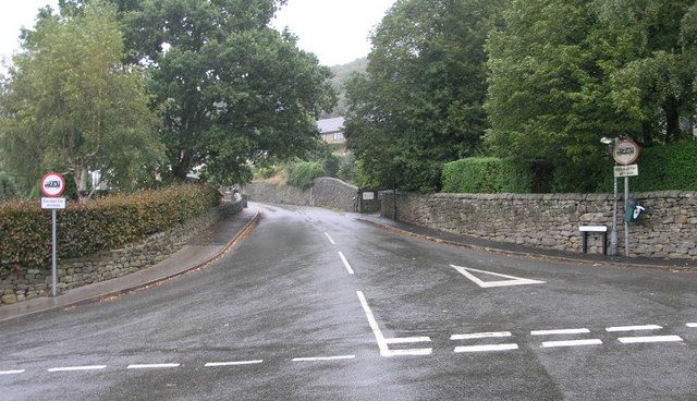
Visitors to Farley Brow Plantation can enjoy a network of well-maintained trails that meander through the forest. These trails cater to hikers of all levels, offering both short, leisurely walks and longer, more challenging routes. Along the way, one can stumble upon idyllic streams, picturesque ponds, and even the occasional small waterfall.

The plantation also serves as a habitat for various wildlife species, such as deer, foxes, and a wide array of bird species. Nature enthusiasts will have the opportunity to spot these animals in their natural habitat, making the plantation a popular destination for birdwatching and wildlife photography.

Farley Brow Plantation offers a peaceful retreat from the hustle and bustle of everyday life, providing visitors with a chance to connect with nature. Whether it's a leisurely stroll or an adventurous hike, this woodland forest offers an unforgettable experience for all who visit.

If you have any feedback on the listing, please let us know in the comments section below.

Farley Brow Plantation Images

Images are sourced within 2km of 53.158078/-1.5600552 or Grid Reference SK2962. Thanks to Geograph Open Source API. All images are credited.

Sandy Lane heading to Sandy Lane Farm
View to Riber Castle Over the rooftops of Gritstone Road. Riber Castle can be seen through misty air as a high pressure weather system settles over England.
View to Riber Castle
Over the rooftops of Gritstone Road. Riber Castle can be seen through misty air as a high pressure weather system settles over England.
View to the tower of Smedley's Hydro Seen from Wellington Street. Smedley's Hydro was a hydropathic facility developed in the second half of the nineteenth century. In the 1950's the old building was taken over by Derbyshire County Council, becoming the organisations administrative hub. The mist in the valley was related to a high pressure weather system settling over the north of England. The illuminated building on the corner was part of the old Matlock tram depot.
View to the tower of Smedley's Hydro
Seen from Wellington Street. Smedley's Hydro was a hydropathic facility developed in the second half of the nineteenth century. In the 1950's the old building was taken over by Derbyshire County Council, becoming the organisations administrative hub. The mist in the valley was related to a high pressure weather system settling over the north of England. The illuminated building on the corner was part of the old Matlock tram depot.
Former tram depot on Matlock Bank
Sandy Lane heading to Chesterfield Road The surface of this lane is dreadful. Speaking from personal experience, it is inadvisable to drive low-slung saloon cars along it.
Sandy Lane heading to Chesterfield Road
The surface of this lane is dreadful. Speaking from personal experience, it is inadvisable to drive low-slung saloon cars along it.
Duke of Wellington
Duke of Wellington
Chesterfield Rd The A632 is a non-primary A-road connecting the Peak District with the Dukeries. It runs 22 miles from Matlock to Cuckney, via Chesterfield.
<span class="nowrap"><a title="http://www.sabre-roads.org.uk/wiki/index.php?title=A632" rel="nofollow ugc noopener" href="http://www.sabre-roads.org.uk/wiki/index.php?title=A632">Link</a><img style="margin-left:2px;" alt="External link" title="External link - shift click to open in new window" src="https://s1.geograph.org.uk/img/external.png" width="10" height="10"/></span>
Chesterfield Rd
The A632 is a non-primary A-road connecting the Peak District with the Dukeries. It runs 22 miles from Matlock to Cuckney, via Chesterfield. LinkExternal link
Moorcroft
Moorcroft
Chesterfield Rd The A632 is a non-primary A-road connecting the Peak District with the Dukeries. It runs 22 miles from Matlock to Cuckney, via Chesterfield.
<span class="nowrap"><a title="http://www.sabre-roads.org.uk/wiki/index.php?title=A632" rel="nofollow ugc noopener" href="http://www.sabre-roads.org.uk/wiki/index.php?title=A632">Link</a><img style="margin-left:2px;" alt="External link" title="External link - shift click to open in new window" src="https://s1.geograph.org.uk/img/external.png" width="10" height="10"/></span>
Chesterfield Rd
The A632 is a non-primary A-road connecting the Peak District with the Dukeries. It runs 22 miles from Matlock to Cuckney, via Chesterfield. LinkExternal link
Field boundaries near Cuckoostone House On the west side of Cuckoostone Dale, below Matlock Moor.
Field boundaries near Cuckoostone House
On the west side of Cuckoostone Dale, below Matlock Moor.
The private track from Cuckoostone House Contouring along the side of Cuckoostone Dale, meeting the A632 on the outskirts of Matlock.
The private track from Cuckoostone House
Contouring along the side of Cuckoostone Dale, meeting the A632 on the outskirts of Matlock.
Farmland, west side of Cuckoostone Dale About 260 metres above sea level.
Farmland, west side of Cuckoostone Dale
About 260 metres above sea level.
Farmland west of Cuckoostone House Below Matlock Moor.
Farmland west of Cuckoostone House
Below Matlock Moor.
The west side of Cuckoostone Dale Looking south, approximately along the 255 metre contour.
The west side of Cuckoostone Dale
Looking south, approximately along the 255 metre contour.
Matlock Golf Course, Cuckoostone Dale Looking eastwards from Sandy Lane.
Matlock Golf Course, Cuckoostone Dale
Looking eastwards from Sandy Lane.
Public footpath, west side, Cuckoostone Dale A continuation of Sandy Lane. The magnificent trees are, I think, beeches.
Public footpath, west side, Cuckoostone Dale
A continuation of Sandy Lane. The magnificent trees are, I think, beeches.
Public footpath junction, Cuckoostone Dale Left [north] for Palethorpe Farm and Jaggers Lane, right [east] for the golf course and Cuckoostone Grange.
Public footpath junction, Cuckoostone Dale
Left [north] for Palethorpe Farm and Jaggers Lane, right [east] for the golf course and Cuckoostone Grange.
Show me another place!

Farley Brow Plantation is located at Grid Ref: SK2962 (Lat: 53.158078, Lng: -1.5600552)

Administrative County: Derbyshire

District: Derbyshire Dales

Police Authority: Derbyshire

What 3 Words

///asked.chatters.plums. Near Matlock, Derbyshire

Related Wikis

Farley, Derbyshire

Farley is a hamlet in the Derbyshire Dales district, in the English county of Derbyshire. It is near the town of Matlock. The nearest main road is the...

Hackney, Derbyshire

Hackney and Upper Hackney are areas of settlement in Derbyshire, England. The population taken at the 2011 Census is included in the civil parish of Darley...

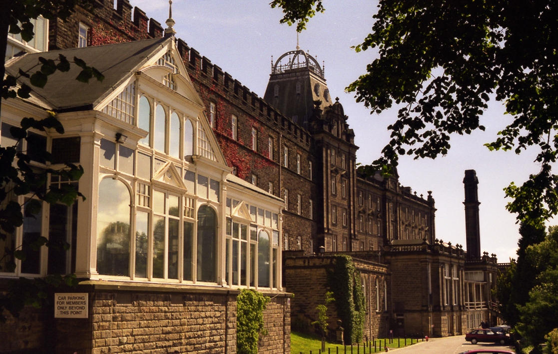
Whitworth Hospital, Matlock

Whitworth Hospital is a healthcare facility on the Bakewell Road between Darley Dale and Matlock in Derbyshire, England. It is managed by Derbyshire Community...

St Elphin's School

St Elphins School was a boarding school for the daughters of the clergy of the Church of England. It was originally based in Warrington, Lancashire, England...

All Saints' Church, Matlock Bank

All Saints’ Church, Matlock Bank is a Grade II listed parish church in the Church of England in Matlock, Derbyshire. == History == A mission room and school...

County Hall, Matlock

The County Hall is a municipal building in Matlock, Derbyshire, England. The building, which was originally a hydropathic establishment but is now the...

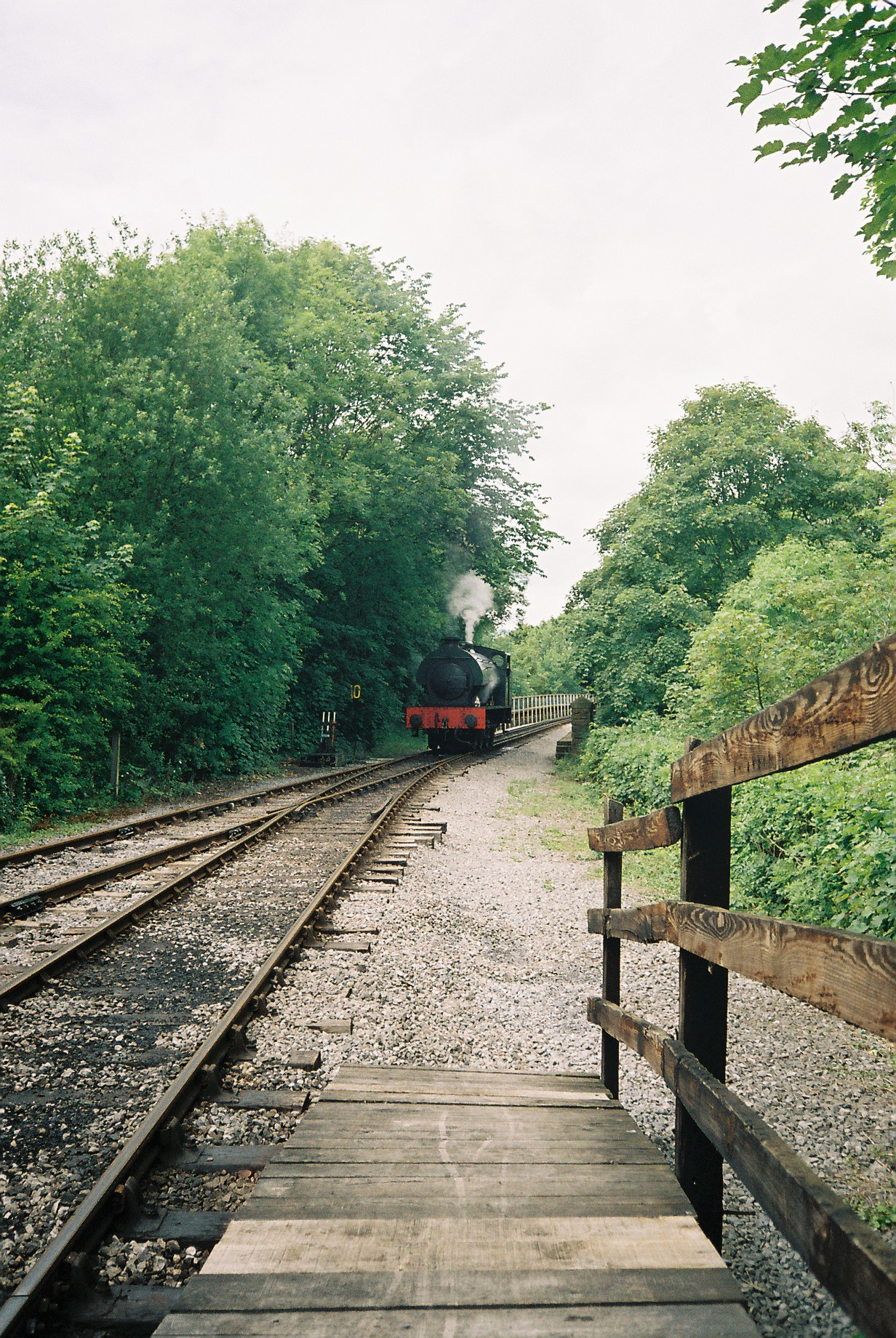
Matlock Riverside railway station

Matlock Riverside was the terminus of Peak Rail, a preserved steam railway of approximately 4 miles (6.5 km) in length. For many years Peak Rail had planned...

Matlock Cable Tramway

Matlock Cable Tramway was a cable tramway that served the town of Matlock, Derbyshire, UK between 28 March 1893 and 30 September 1927. == History == The...

Nearby Amenities

Located within 500m of 53.158078,-1.5600552
Parking
Parking: layby
Lat/Long: 53.1606386/-1.5608045
Turning Circle
Lat/Long: 53.1549201/-1.5621227
The data included in this document is from www.openstreetmap.org. The data is made available under ODbL.

Have you been to Farley Brow Plantation?

Leave your review of Farley Brow Plantation below (or comments, questions and feedback).