Bowburn Wood
Wood, Forest in Durham
England
Bowburn Wood

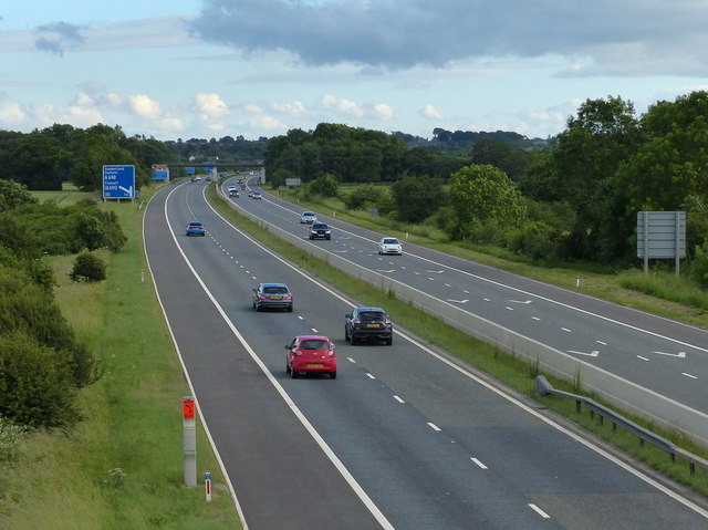
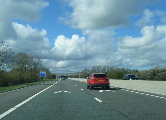
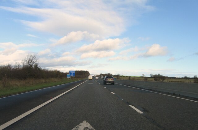
Bowburn Wood is a picturesque woodland located in County Durham, England. Spanning approximately 50 acres, it is nestled on the outskirts of the village of Bowburn, just six miles from the historic city of Durham. The wood is easily accessible, situated adjacent to the A1(M) motorway, making it a popular destination for locals and tourists alike.
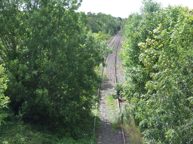
This diverse woodland is primarily composed of native broadleaf trees, including oak, ash, and birch, which create a rich and vibrant canopy. The forest floor is carpeted with a variety of wildflowers, ferns, and mosses, adding to the natural beauty of the area. Additionally, Bowburn Wood is home to an array of wildlife, including squirrels, rabbits, and a variety of bird species, making it a haven for nature enthusiasts and birdwatchers.
The wood offers a network of well-maintained footpaths, allowing visitors to explore its enchanting surroundings. The paths meander through the woodland, leading to a small stream and a tranquil pond, providing a peaceful and serene atmosphere. There are also several benches scattered throughout the wood, providing resting spots for those seeking a moment of tranquility.
Bowburn Wood is a popular destination for recreational activities such as walking, jogging, and picnicking. The wood is well-equipped with picnic tables and bins, ensuring visitors can enjoy a leisurely lunch surrounded by nature. The area is also a favorite spot for dog walkers, with many enjoying the freedom and open space the woodland provides for their four-legged companions.
Overall, Bowburn Wood offers a delightful escape from the bustle of everyday life, providing a serene and natural environment for visitors to enjoy the beauty of County Durham's woodlands.
If you have any feedback on the listing, please let us know in the comments section below.
Bowburn Wood Images
Images are sourced within 2km of 54.823109/-1.5443672 or Grid Reference NZ2947. Thanks to Geograph Open Source API. All images are credited.


Bowburn Wood is located at Grid Ref: NZ2947 (Lat: 54.823109, Lng: -1.5443672)
Unitary Authority: County Durham
Police Authority: Durham
What 3 Words
///bunny.thinkers.studs. Near West Rainton, Co. Durham
Nearby Locations
Related Wikis
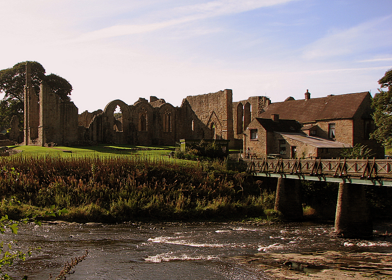
Finchale Priory
Finchale Priory () sometimes referred to as Finchale Abbey was a 13th-century Benedictine priory. The remains are sited by the River Wear, four miles from...

Great Lumley
Great Lumley is a village in County Durham, England. It is situated south east of Chester-le-Street, near Lumley Castle. It has a population of 3,843,...

HM Prison Frankland
HM Prison Frankland is a Category A men's prison located in the village of Brasside in County Durham, England. Frankland is operated by His Majesty's Prison...

Brasside
Brasside is a suburban village near Durham, located in the civil parish of Framwellgate Moor in County Durham, England. It is situated to the north of...

Leamside
Leamside is a small village close to the city of Durham, County Durham, in England. It is situated to the west of West Rainton. It is part of the civil...
HM Prison Low Newton
HM Prison Low Newton is a closed prison for female adults and young offenders in Brasside, County Durham, England. The prison, which is operated by His...
Rainton railway station
Rainton railway station briefly served the village of West Rainton, County Durham, England, in 1844 on the Leamside Line. == History == The station opened...
Leamside railway station
Leamside railway station served the villages of Leamside and West Rainton, in County Durham, England from 1844 to 1953 on the Leamside line. == History... ==
Nearby Amenities
Located within 500m of 54.823109,-1.5443672Have you been to Bowburn Wood?
Leave your review of Bowburn Wood below (or comments, questions and feedback).