Derbyshire Hill
Settlement in Lancashire
England
Derbyshire Hill
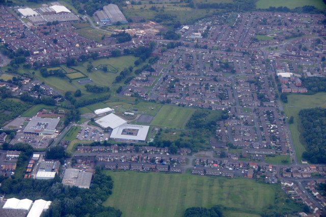
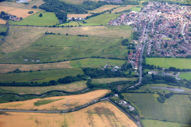
Derbyshire Hill is a small residential area located in the county of Lancashire, England. Situated on the eastern outskirts of St. Helens, it is part of the larger Sutton area. The neighborhood is known for its close-knit community and peaceful atmosphere, making it an ideal place for families and individuals seeking a tranquil suburban lifestyle.
Derbyshire Hill is characterized by a mix of housing types, including semi-detached and terraced houses, as well as some apartment buildings. The properties are well-maintained, and many have small gardens or driveways. The area offers a range of amenities, including a local convenience store, a primary school, and a community center that hosts various activities and events.
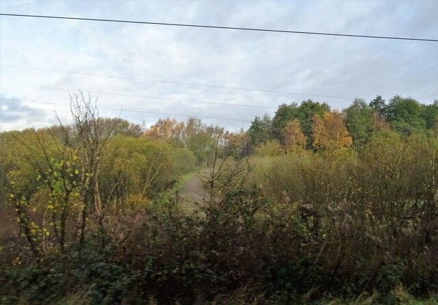
For recreational activities, residents can enjoy the nearby Sherdley Park, a large green space with beautiful gardens, a lake, and sports facilities. Additionally, Sutton Leisure Centre is within easy reach, offering a swimming pool, gym, and fitness classes.
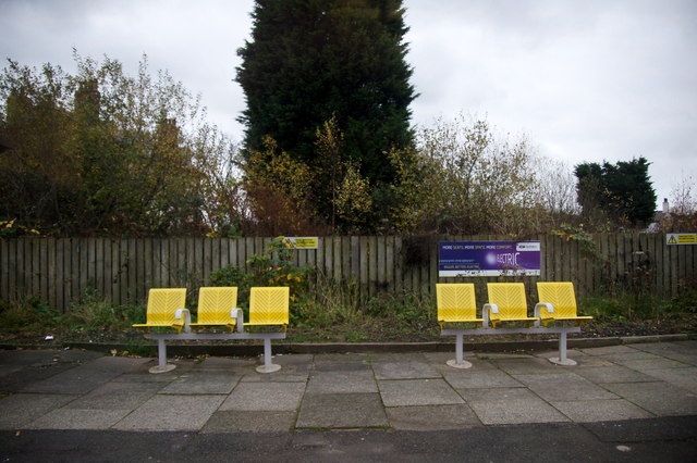
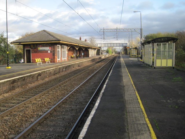
Transportation in Derbyshire Hill is convenient, with regular bus services connecting the area to neighboring towns and cities. The closest train station is St. Helens Central, providing links to Liverpool and Manchester. Major road networks, including the M62 and M6, are easily accessible, allowing for convenient travel throughout the region.
Overall, Derbyshire Hill offers a pleasant and family-friendly environment, with its well-kept properties, community spirit, and easy access to amenities and recreational areas.
If you have any feedback on the listing, please let us know in the comments section below.
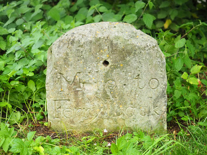
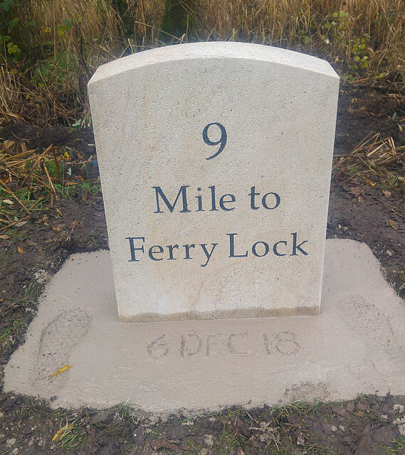
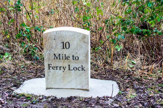
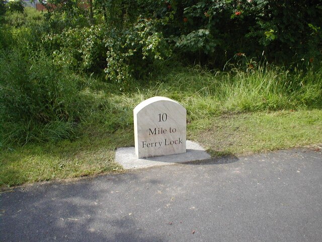
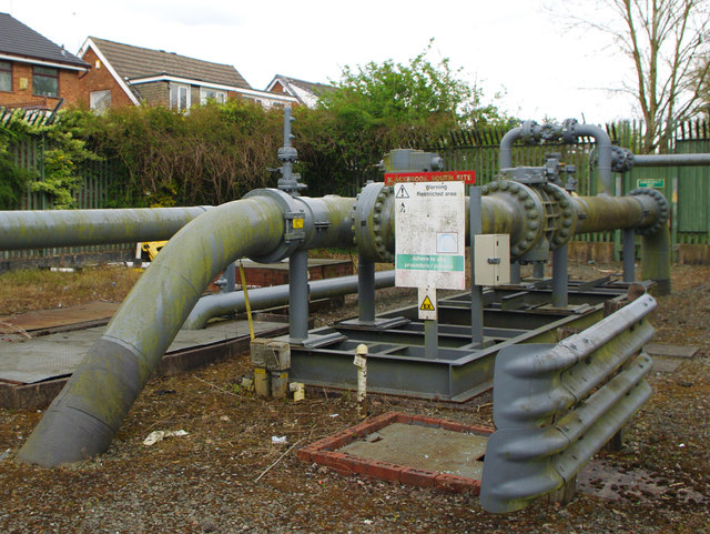
Derbyshire Hill Images
Images are sourced within 2km of 53.448853/-2.691103 or Grid Reference SJ5494. Thanks to Geograph Open Source API. All images are credited.


Derbyshire Hill is located at Grid Ref: SJ5494 (Lat: 53.448853, Lng: -2.691103)
Unitary Authority: St. Helens
Police Authority: Merseyside
What 3 Words
///imported.postcard.indulgent. Near Haydock, Merseyside
Nearby Locations
Related Wikis
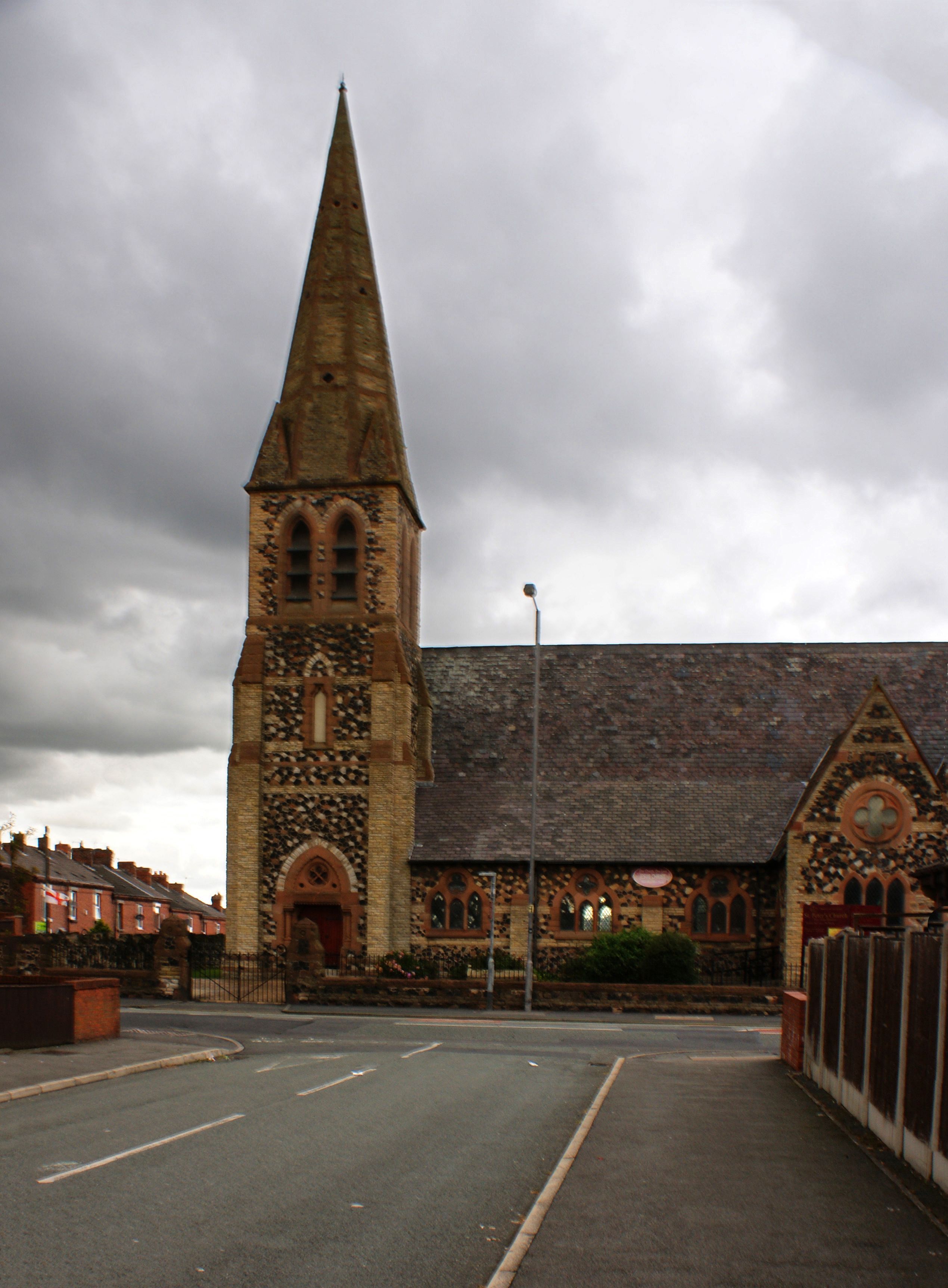
St Peter's Church, Parr
St Peter's Church, Parr, is in Broad Oak Road, Parr, St Helens, Merseyside, England. It is an active Anglican parish church in the deanery of St Helens...

St Cuthbert's Catholic High School
St Cuthbert's Catholic High School is a Roman Catholic mixed secondary school situated in St Helens, Merseyside, England. == History == Built-in 1957,...
St Augustine of Canterbury Catholic Academy
St Augustine of Canterbury Catholic Academy (formerly St Augustine of Canterbury Catholic High School) is a Roman Catholic coeducational secondary school...
Hoghton Road Stadium
Hoghton Road Stadium was a sports stadium on Hoghton Road, Sutton, a suburb of St. Helens (population approx 100,000), the administrative centre of the...
Nearby Amenities
Located within 500m of 53.448853,-2.691103Have you been to Derbyshire Hill?
Leave your review of Derbyshire Hill below (or comments, questions and feedback).