Batchley Copse

Wood, Forest in Hampshire New Forest

England

Batchley Copse

Christchurch Road (A337) Looking from Lymington Road (the B3058) at Christchurch Road (the A337).
Christchurch Road (A337) Credit: Oscar

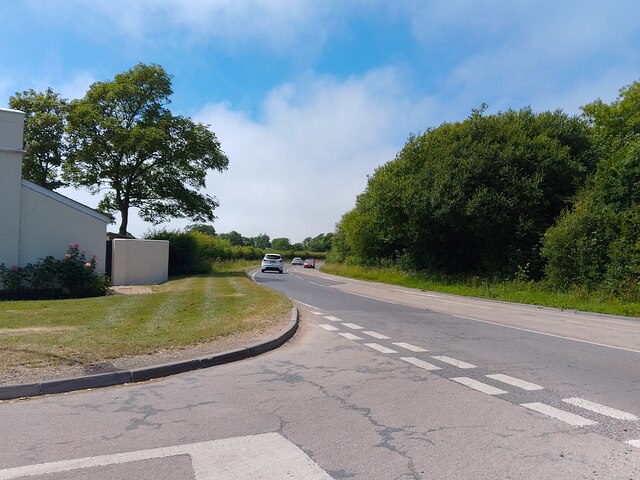
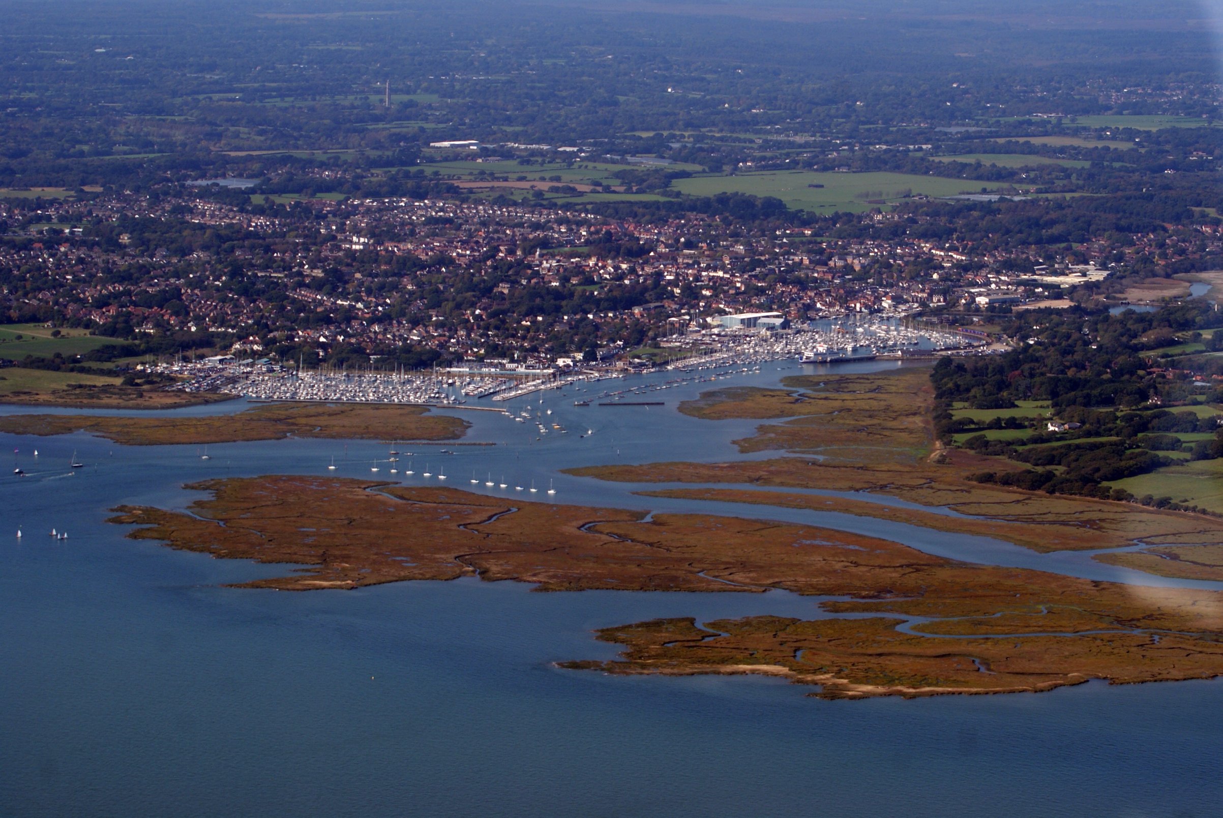
Batchley Copse is a picturesque woodland located in Hampshire, England. Covering an area of approximately 50 acres, it is a popular destination for nature enthusiasts and outdoor enthusiasts alike. The copse is situated within the wider Batchley Common, which is known for its diverse range of flora and fauna.

The woodland itself is predominantly composed of deciduous trees, including oak, beech, and birch. These trees provide a dense canopy, creating a cool and shaded environment for visitors to explore. The forest floor is carpeted with a variety of wildflowers, adding to the natural beauty of the area.

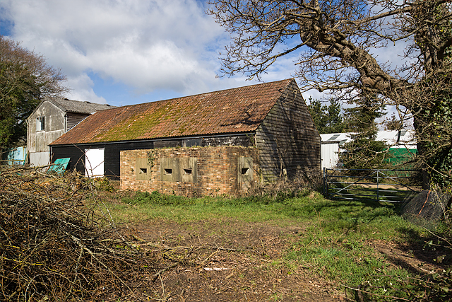
Batchley Copse is home to a wide range of wildlife, making it an ideal spot for birdwatching and wildlife observation. Visitors may spot species such as woodpeckers, nuthatches, and various woodland mammals like squirrels and deer.

There are well-maintained walking trails throughout the copse, allowing visitors to immerse themselves in the tranquility of the surroundings. These trails are suitable for all abilities and provide opportunities for leisurely strolls or more challenging hikes.

The copse is a designated Site of Special Scientific Interest (SSSI) due to its ecological importance. It plays a crucial role in maintaining local biodiversity and acts as a wildlife corridor, connecting different habitats in the area.

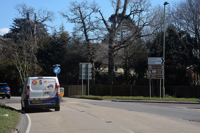
Batchley Copse is easily accessible, with a nearby car park and public transport links. It offers a peaceful and natural escape from the hustle and bustle of everyday life, making it a popular destination for locals and tourists alike.

If you have any feedback on the listing, please let us know in the comments section below.

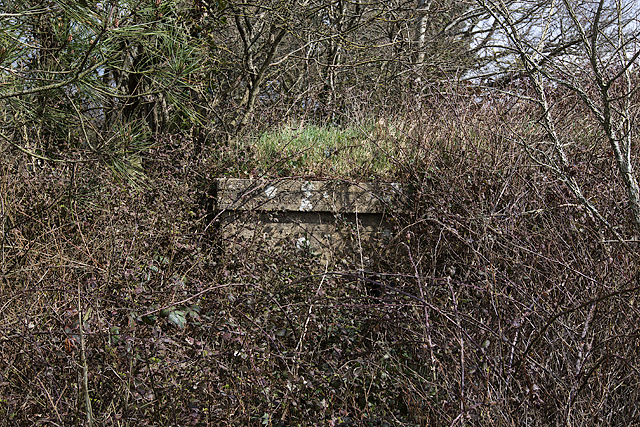
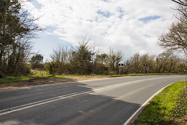
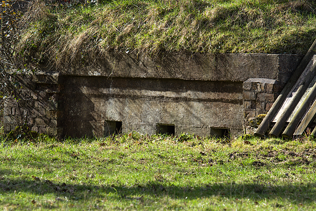
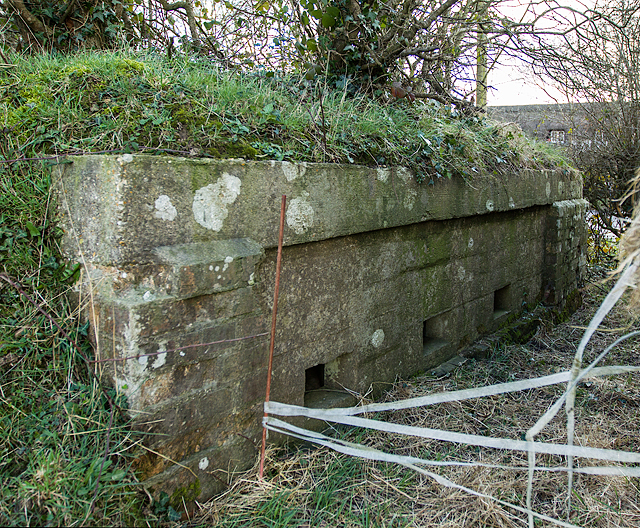
Batchley Copse Images

Images are sourced within 2km of 50.756847/-1.5853326 or Grid Reference SZ2995. Thanks to Geograph Open Source API. All images are credited.

Christchurch Road (A337) Looking from Lymington Road (the B3058) at Christchurch Road (the A337).
Christchurch Road (A337)
Looking from Lymington Road (the B3058) at Christchurch Road (the A337).
WWII inland defences of SW Hampshire - defended building at Lymore (1) -
Pillbox (unclassified): DoB ID: S0007003

This rather unusual unclassified rectangular pillbox was a part of the network that extended inland from the coastal defences centred on Taddiford Gap to the south <a title="https://www.geograph.org.uk/photo/4878084" href="https://www.geograph.org.uk/photo/4878084">Link</a>. It has been disguised by being built into the adjacent barn, and can only be entered from within the barn itself.

<a href="https://www.geograph.org.uk/photo/4897271">SZ2993 : WWII inland defences of SW Hampshire - defended building at Lymore (2)</a>
WWII inland defences of SW Hampshire - defended building at Lymore (1)
- Pillbox (unclassified): DoB ID: S0007003 This rather unusual unclassified rectangular pillbox was a part of the network that extended inland from the coastal defences centred on Taddiford Gap to the south Link. It has been disguised by being built into the adjacent barn, and can only be entered from within the barn itself. SZ2993 : WWII inland defences of SW Hampshire - defended building at Lymore (2)
WWII inland defences of SW Hampshire - defended building at Lymore (2) -

Pillbox (unclassified): DoB ID: S0007003

The pillbox has pre-fabricated concrete embrasures, three on the front, including one double, and a single one at each end. All the sills are wood-lined, and retain their original iron shutters.

<a href="https://www.geograph.org.uk/photo/4897290">SZ2993 : WWII inland defences of SW Hampshire - defended building at Lymore (3)</a>
WWII inland defences of SW Hampshire - defended building at Lymore (2)
- Pillbox (unclassified): DoB ID: S0007003 The pillbox has pre-fabricated concrete embrasures, three on the front, including one double, and a single one at each end. All the sills are wood-lined, and retain their original iron shutters. SZ2993 : WWII inland defences of SW Hampshire - defended building at Lymore (3)
WWII inland defences of SW Hampshire - defended building at Lymore (3) -
Pillbox (unclassified): DoB ID: S0007003

The location of this south-facing pillbox is at a junction between the roads leading from the adjacent coastal resorts of Milford-on-Sea and Keyhaven.

<a href="https://www.geograph.org.uk/photo/4897296">SZ2993 : WWII inland defences of SW Hampshire - defended building at Lymore (4)</a>
WWII inland defences of SW Hampshire - defended building at Lymore (3)
- Pillbox (unclassified): DoB ID: S0007003 The location of this south-facing pillbox is at a junction between the roads leading from the adjacent coastal resorts of Milford-on-Sea and Keyhaven. SZ2993 : WWII inland defences of SW Hampshire - defended building at Lymore (4)
WWII inland defences of SW Hampshire - defended building at Lymore (4) -
Pillbox (unclassified): DoB ID: S0007003

<a href="https://www.geograph.org.uk/photo/4897317">SZ2993 : WWII inland defences of SW Hampshire - defended building at Lymore (5)</a>
WWII inland defences of SW Hampshire - defended building at Lymore (4)
WWII inland defences of SW Hampshire - defended building at Lymore (5) -
Pillbox (unclassified): DoB ID: S0007003

A close-up of one of the 5 embrasures showing the sill with its wood lining and internal iron shutter (with spy-hole) that's fitted to each loophole. Unfortunately the pillbox interior was not accessible, but is apparently in good condition with a number of artifacts still extant, such as a wooden gun support shelf, brick footrests, and a chain that opened an external steel shutter to an embrasure.

<a href="https://www.geograph.org.uk/photo/4897327">SZ2993 : WWII inland defences of SW Hampshire - defended building at Lymore (6)</a>
WWII inland defences of SW Hampshire - defended building at Lymore (5)
- Pillbox (unclassified): DoB ID: S0007003 A close-up of one of the 5 embrasures showing the sill with its wood lining and internal iron shutter (with spy-hole) that's fitted to each loophole. Unfortunately the pillbox interior was not accessible, but is apparently in good condition with a number of artifacts still extant, such as a wooden gun support shelf, brick footrests, and a chain that opened an external steel shutter to an embrasure. SZ2993 : WWII inland defences of SW Hampshire - defended building at Lymore (6)
WWII inland defences of SW Hampshire - defended building at Lymore (6) -
Pillbox (unclassified): DoB ID: S0007003

One of a number of surviving metal fixtures embedded along the edge of the roof for attaching camouflage netting.

<a href="https://www.geograph.org.uk/photo/4897344">SZ2993 : WWII inland defences of SW Hampshire - Everton pillbox (1)</a>
WWII inland defences of SW Hampshire - defended building at Lymore (6)
- Pillbox (unclassified): DoB ID: S0007003 One of a number of surviving metal fixtures embedded along the edge of the roof for attaching camouflage netting. SZ2993 : WWII inland defences of SW Hampshire - Everton pillbox (1)
WWII inland defences of SW Hampshire - Everton pillbox (1) -
Pillbox (unclassified): DoB ID: S0012876

I was assured of the existence of two pillboxes at this location, one a Home Guard section post (essentially hardened trench works), and a conventional pillbox. It was therefore disappointing to only find this specimen with just a corner peeping out at me from beneath the covering of brambles. I'm assuming this is the concrete faced pillbox listed on the Database of Britain Defence Archive. There was no sign of the section post.

<a href="https://www.geograph.org.uk/photo/4897370">SZ2993 : WWII inland defences of SW Hampshire - Everton pillbox (2)</a>
WWII inland defences of SW Hampshire - Everton pillbox (1)
- Pillbox (unclassified): DoB ID: S0012876 I was assured of the existence of two pillboxes at this location, one a Home Guard section post (essentially hardened trench works), and a conventional pillbox. It was therefore disappointing to only find this specimen with just a corner peeping out at me from beneath the covering of brambles. I'm assuming this is the concrete faced pillbox listed on the Database of Britain Defence Archive. There was no sign of the section post. SZ2993 : WWII inland defences of SW Hampshire - Everton pillbox (2)
WWII inland defences of SW Hampshire - Everton pillbox (2) -
Pillbox (unclassified): DoB ID: S0012876

Today this pillbox remains totally hidden in the vegetation to the right of the farm gate (and to the immediate left of the first chevron) on a bend in the main road between Lymington and Barton-on-Sea. Part of the network that extended inland from the coastal defences centred on Taddiford Gap to the south.

<a href="https://www.geograph.org.uk/photo/4897396">SZ2694 : WWII inland defences of SW Hampshire - Ashley pillbox (1)</a>
WWII inland defences of SW Hampshire - Everton pillbox (2)
- Pillbox (unclassified): DoB ID: S0012876 Today this pillbox remains totally hidden in the vegetation to the right of the farm gate (and to the immediate left of the first chevron) on a bend in the main road between Lymington and Barton-on-Sea. Part of the network that extended inland from the coastal defences centred on Taddiford Gap to the south. SZ2694 : WWII inland defences of SW Hampshire - Ashley pillbox (1)
WWII inland defences of SW Hampshire - Section Post - east of Hordle (1) -
Section Post/unclassified pillbox: DoB ID: S0012874 

A small square brick and concrete section post or unclassified pillbox, with a style of construction that may be unique to this corner of Hampshire. There are at least 3 similar structures within a few miles of each other in the locality. For defence there are embrasures on two sides, a group of three at each end facing east and west respectively that covered the main Hordle to Lymington road in both directions.

<a href="https://www.geograph.org.uk/photo/5296800">SZ2795 : WWII inland defences of SW Hampshire - Section Post - east of Hordle (2)</a>
WWII inland defences of SW Hampshire - Section Post - east of Hordle (1)
- Section Post/unclassified pillbox: DoB ID: S0012874 A small square brick and concrete section post or unclassified pillbox, with a style of construction that may be unique to this corner of Hampshire. There are at least 3 similar structures within a few miles of each other in the locality. For defence there are embrasures on two sides, a group of three at each end facing east and west respectively that covered the main Hordle to Lymington road in both directions. SZ2795 : WWII inland defences of SW Hampshire - Section Post - east of Hordle (2)
WWII inland defences of SW Hampshire - Section Post - east of Hordle (2) -
Section Post/unclassified pillbox: DoB ID: S0012874

The entrance at the east end is currently sealed off with a covering of timber by the landowner, probably to protect the interior from flooding. The pillbox has been disguised by a covering of earth and turf on the roof.

<a href="https://www.geograph.org.uk/photo/5296801">SZ2795 : WWII inland defences of SW Hampshire - Section Post - east of Hordle (3)</a>
WWII inland defences of SW Hampshire - Section Post - east of Hordle (2)
- Section Post/unclassified pillbox: DoB ID: S0012874 The entrance at the east end is currently sealed off with a covering of timber by the landowner, probably to protect the interior from flooding. The pillbox has been disguised by a covering of earth and turf on the roof. SZ2795 : WWII inland defences of SW Hampshire - Section Post - east of Hordle (3)
WWII inland defences of SW Hampshire - Section Post - east of Hordle (3) -
Section Post/unclassified pillbox: DoB ID: S0012874

Three loopholes at one end face east along the Lymington to Hordle road.

<a href="https://www.geograph.org.uk/photo/5296802">SZ2795 : WWII inland defences of SW Hampshire - Section Post - east of Hordle (4)</a>
WWII inland defences of SW Hampshire - Section Post - east of Hordle (3)
- Section Post/unclassified pillbox: DoB ID: S0012874 Three loopholes at one end face east along the Lymington to Hordle road. SZ2795 : WWII inland defences of SW Hampshire - Section Post - east of Hordle (4)
WWII inland defences of SW Hampshire - Section Post - east of Hordle (4) -
Section Post/unclassified pillbox: DoB ID: S0012874

Three loopholes at the opposite end face west along the Lymington to Hordle road.

<a href="https://www.geograph.org.uk/photo/5299853">SZ2696 : WWII inland defences of SW Hampshire - Section Post - north of Hordle (1)</a>
WWII inland defences of SW Hampshire - Section Post - east of Hordle (4)
- Section Post/unclassified pillbox: DoB ID: S0012874 Three loopholes at the opposite end face west along the Lymington to Hordle road. SZ2696 : WWII inland defences of SW Hampshire - Section Post - north of Hordle (1)
New Forest : Christchurch Road A337 Approaching Everton on the A337.
New Forest : Christchurch Road A337
Approaching Everton on the A337.
Everton : Everton Road Looking up Everton Road from Christchurch Road.
Everton : Everton Road
Looking up Everton Road from Christchurch Road.
Everton : Christchurch Road A377 A road heading through the village of Everton.
Everton : Christchurch Road A377
A road heading through the village of Everton.
Everton : Old Christchurch Road A small layby and turning spot on Old Christchurch Road.
Everton : Old Christchurch Road
A small layby and turning spot on Old Christchurch Road.
Everton : Milford Road A337 A road heading out from Everton.
Everton : Milford Road A337
A road heading out from Everton.
Show me another place!

Batchley Copse is located at Grid Ref: SZ2995 (Lat: 50.756847, Lng: -1.5853326)

Administrative County: Hampshire

District: New Forest

Police Authority: Hampshire

What 3 Words

///jeep.albatross.dusters. Near Lymington, Hampshire

Related Wikis

Everton, Hampshire

Everton is a village in the civil parish of Hordle, 2+1⁄2 miles (4.0 km) west of Lymington, in the English county of Hampshire. == Overview == Everton...

Pennington, Hampshire

Pennington is a ward (electoral and ecclesiastical) in the New Forest district of Hampshire, England, which is defined based on the boundaries of the earlier...

Priestlands School

Priestlands School is a Mixed-sex education secondary school located in Pennington, Hampshire in southern England. The school serves an area that includes...

Lymington Hospital

Lymington Hospital was a consultant-led community hospital in Lymington, Hampshire. It was administered by New Forest Primary Care Trust before it was...

Hordle

Hordle is a village and civil parish in the county of Hampshire, England. It is situated between the Solent coast and the New Forest, and is bordered by...
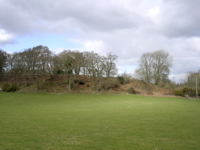
Buckland Rings

Buckland Rings is the site of an Iron Age hill fort in the town of Lymington, Hampshire. Today, the mounds and dykes around the outside which once constituted...

Lymington

Lymington is a port town on the west bank of the Lymington River on the Solent, in the New Forest district of Hampshire, England. The town faces Yarmouth...

Lymington Town F.C.

Lymington Town Football Club is a football club based in the coastal town of Lymington, Hampshire, England. Known as "The Linnets", they are currently...

Nearby Amenities

Located within 500m of 50.756847,-1.5853326
Batchley Farm Airstrip
Addr City: Hordle
Aeroway: airstrip
Note: actual state of usage unclear, might be disused
Lat/Long: 50.7557704/-1.5903496
Barrier: stile
Foot: yes
Stile: stepover
Wheelchair: no
Lat/Long: 50.7563548/-1.5883009
The data included in this document is from www.openstreetmap.org. The data is made available under ODbL.

Have you been to Batchley Copse?

Leave your review of Batchley Copse below (or comments, questions and feedback).