Copse Ground Wood
Wood, Forest in Wiltshire
England
Copse Ground Wood
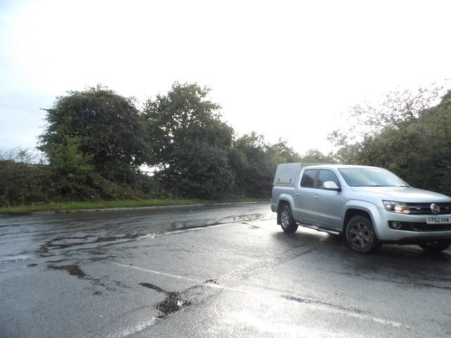
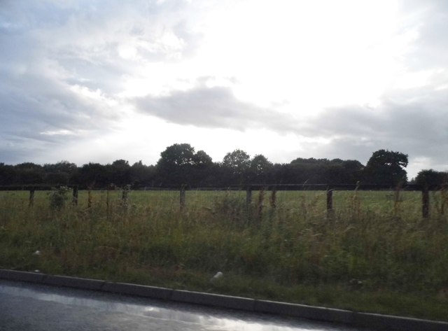
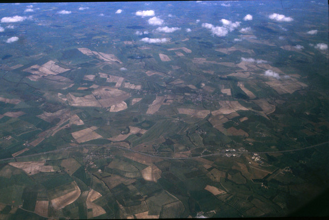
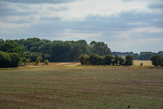
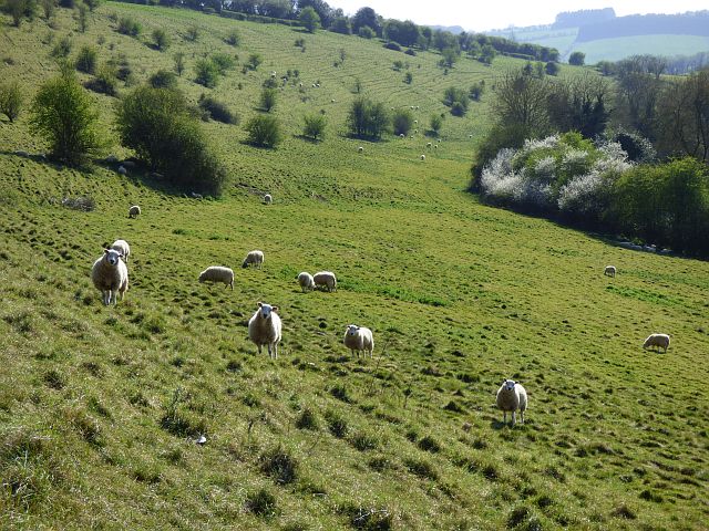
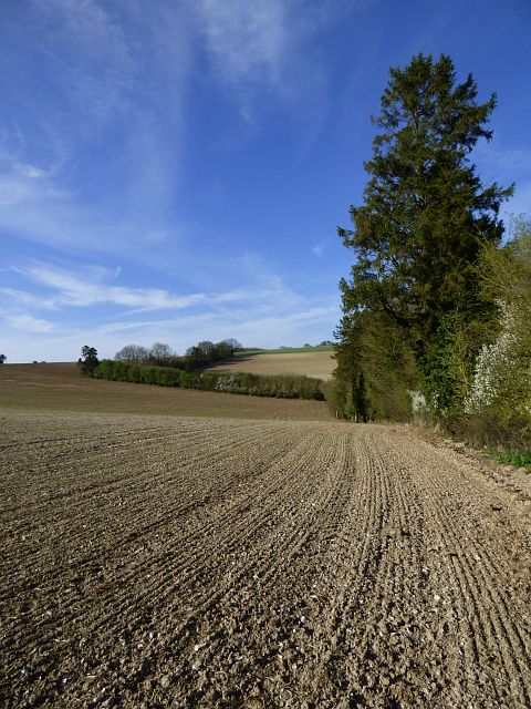
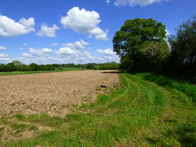
Copse Ground Wood is a charming forest located in the county of Wiltshire, England. Spanning over a vast area, this woodland is a popular destination for nature enthusiasts and outdoor lovers. The wood is predominantly made up of deciduous trees, creating a beautiful tapestry of colors during the autumn months.
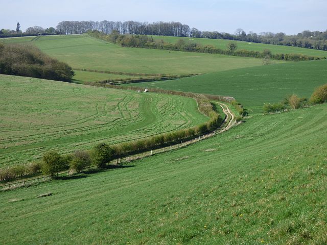
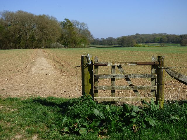
The forest is home to a diverse range of flora and fauna, with various species of plants and animals thriving within its borders. Visitors may come across ancient oak and beech trees, as well as bluebells, wood anemones, and other wildflowers that bloom in the spring. The wood provides a tranquil setting for a leisurely stroll, allowing visitors to immerse themselves in the peaceful ambiance of nature.
For those seeking more adventurous activities, Copse Ground Wood offers several walking and cycling trails that wind through the forest. These trails cater to different skill levels, providing opportunities for both beginners and experienced hikers or bikers. Along the way, visitors may encounter wildlife such as deer, squirrels, and an array of bird species, making the experience even more enchanting.
The wood is also a great spot for birdwatching, with a variety of resident and migratory birds frequenting the area. Bird enthusiasts can bring their binoculars and try to spot species like woodpeckers, owls, and warblers among the treetops.
Overall, Copse Ground Wood in Wiltshire offers a picturesque and serene natural environment for individuals to connect with nature and enjoy the beauty of the English countryside.
If you have any feedback on the listing, please let us know in the comments section below.
Copse Ground Wood Images
Images are sourced within 2km of 51.480361/-1.5828267 or Grid Reference SU2975. Thanks to Geograph Open Source API. All images are credited.


Copse Ground Wood is located at Grid Ref: SU2975 (Lat: 51.480361, Lng: -1.5828267)
Unitary Authority: Wiltshire
Police Authority: Wiltshire
What 3 Words
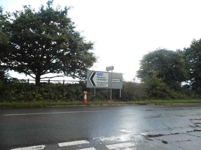
///taking.workflow.blog. Near Aldbourne, Wiltshire
Nearby Locations
Related Wikis

Membury Camp
Membury Camp, or Membury Fort, is the site of an Iron Age hill fort located on the borders of Wiltshire and Berkshire, (the county line divides the site...
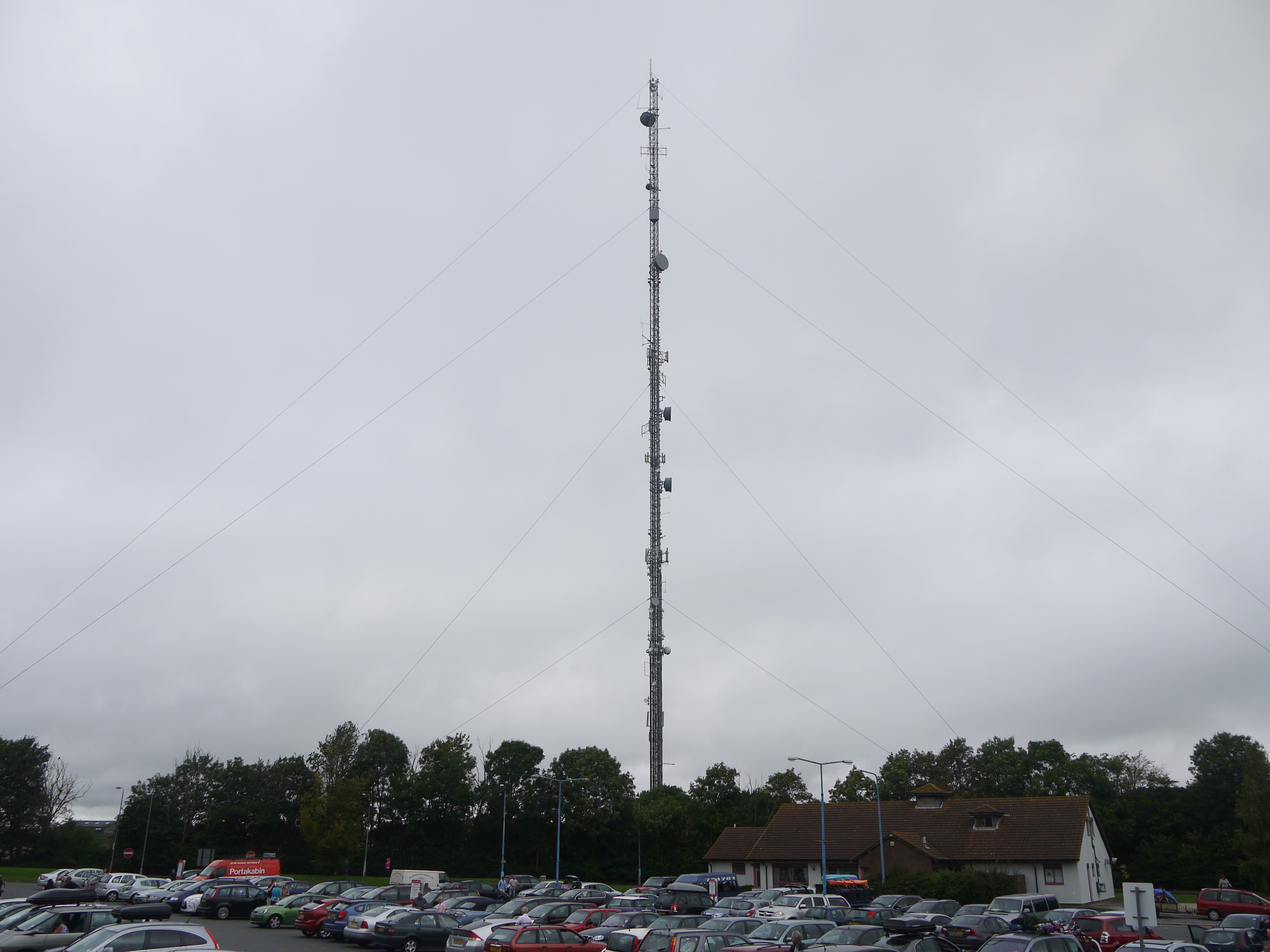
Membury transmitting station
The Membury transmitting station is a broadcasting and telecommunications facility, situated adjacent to the M4 motorway at the Membury services in the...
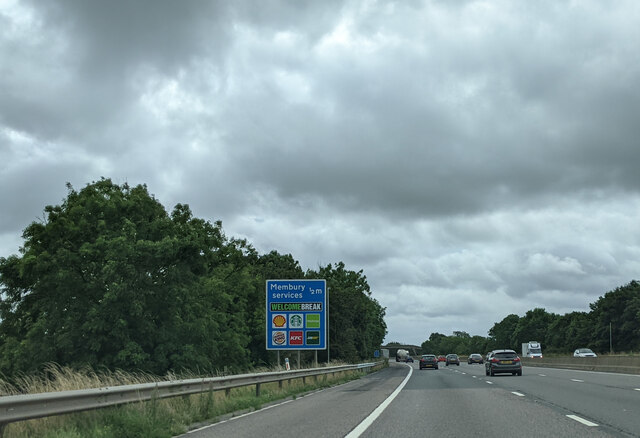
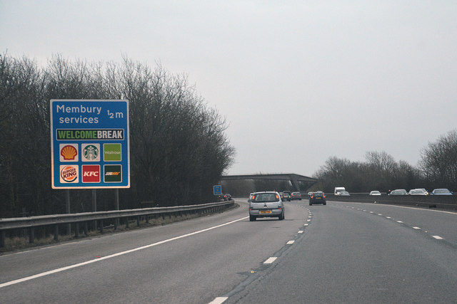
Membury services
Membury services is a motorway service station on the M4 motorway, located on the original site of RAF Membury in the civil parish of Lambourn in the English...

Baydon
Baydon is a village and civil parish in Wiltshire, England about 10 miles (16 km) south-east of Swindon. The eastern boundary of the parish forms part...
Aldbourne
Aldbourne ( AWLD-born) is a village and civil parish about 6 miles (10 km) north-east of Marlborough, Wiltshire, England, in a valley on the south slope...

Lambourn Woodlands
Lambourn Woodlands is a hamlet in the English county of Berkshire. The village is situated in the civil parish of Lambourn, and is 2 miles (3.2 km) to...

Fognam Chalk Quarry
Fognam Chalk Quarry is a 3-hectare (7.4-acre) geological Site of Special Scientific Interest west of Upper Lambourn in Berkshire. It is a Geological Conservation...

Cleeve Hill SSSI, Berkshire
Cleeve Hill is a 4-hectare (9.9-acre) biological Site of Special Scientific Interest south of Lambourn in Berkshire.Cleeve Hill is a sloping chalk grassland...
Have you been to Copse Ground Wood?
Leave your review of Copse Ground Wood below (or comments, questions and feedback).