Ridge Plantation
Wood, Forest in Yorkshire
England
Ridge Plantation

Ridge Plantation is a picturesque woodland area located in Yorkshire, England. Covering a vast expanse of land, the plantation is characterized by its dense forest of tall trees, including oak, beech, and pine. The woodland is home to a variety of wildlife, such as deer, rabbits, and various bird species.
Ridge Plantation is a popular destination for nature enthusiasts and outdoor enthusiasts looking to explore the beauty of Yorkshire's countryside. The woodland offers a network of well-maintained walking trails, perfect for hikers and nature lovers to enjoy the peaceful surroundings and observe the local flora and fauna.
The plantation is also known for its historical significance, with remnants of old stone walls and structures dating back to the 18th century scattered throughout the area. Visitors can learn about the rich history of the land and its previous uses as a hunting ground for the local aristocracy.
Overall, Ridge Plantation is a tranquil and scenic retreat for those looking to escape the hustle and bustle of city life and immerse themselves in the natural beauty of Yorkshire's woodlands.
If you have any feedback on the listing, please let us know in the comments section below.
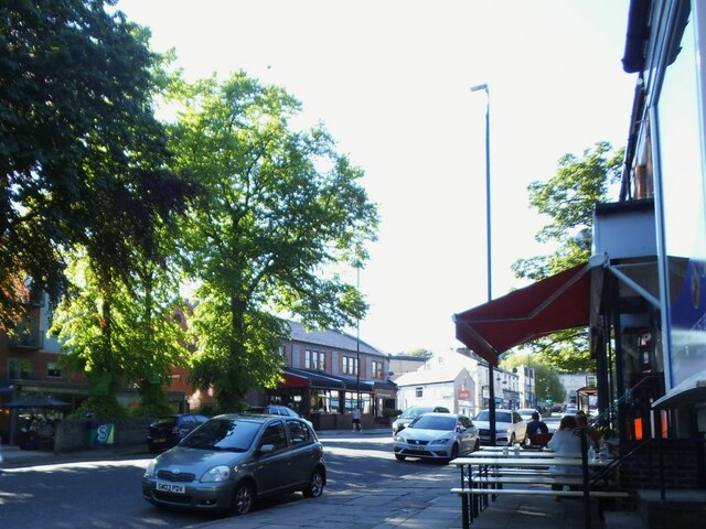
Ridge Plantation Images
Images are sourced within 2km of 53.833905/-1.5601191 or Grid Reference SE2937. Thanks to Geograph Open Source API. All images are credited.


Ridge Plantation is located at Grid Ref: SE2937 (Lat: 53.833905, Lng: -1.5601191)
Division: West Riding
Unitary Authority: Leeds
Police Authority: West Yorkshire
What 3 Words
///transfers.sides.valley. Near Chapel Allerton, West Yorkshire
Nearby Locations
Related Wikis

Meanwood
Meanwood is a suburb and former village in north-west Leeds, West Yorkshire, England. The area sits in the Moortown ward of Leeds City Council and Leeds...
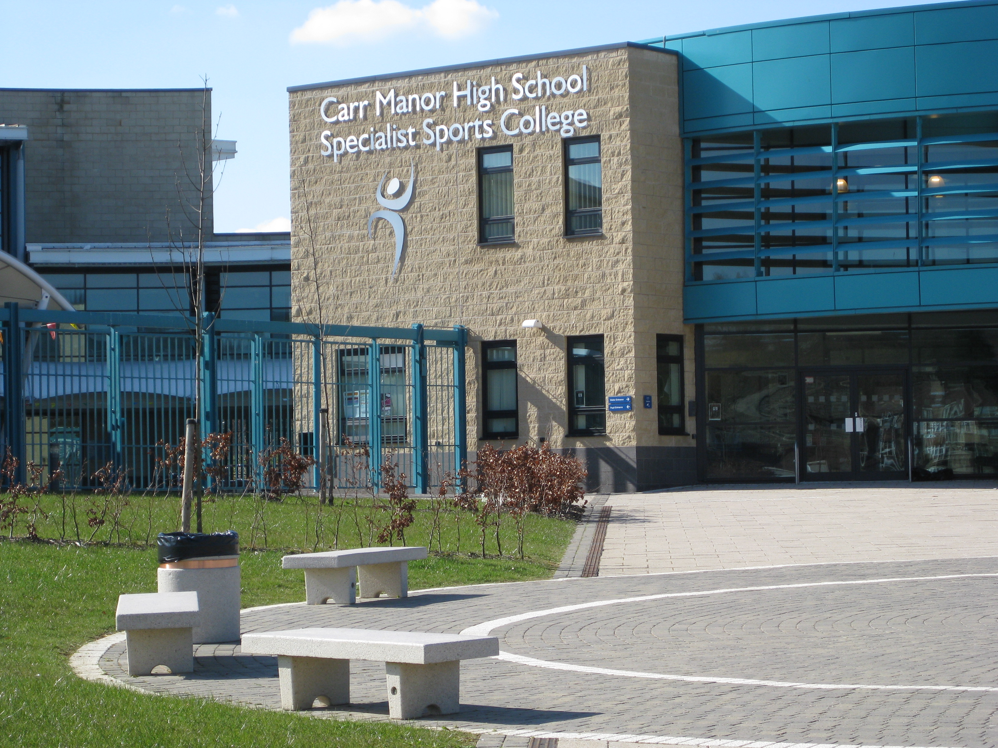
Carr Manor Community School
Carr Manor Community School (formerly Carr Manor High School) is a mixed all-through school located in Leeds, West Yorkshire, England. It was formed from...

Carr Manor
Carr Manor is a Victorian grade II listed house in Meanwood, Leeds, England, designed by Edward Schroeder Prior and built for Thomas Clifford Allbutt...

Beckhill
Beckhill (or Beck Hill) is a small council estate in the Meanwood area of Leeds, West Yorkshire, England. It has received negative local publicity in the...
Nearby Amenities
Located within 500m of 53.833905,-1.5601191Have you been to Ridge Plantation?
Leave your review of Ridge Plantation below (or comments, questions and feedback).