Bog Wood

Wood, Forest in Yorkshire Harrogate

England

Bog Wood

East Tanfield DMV The deserted medieval village site of East Tanfield. Not much to see other than humps and bumps, which one would assume are outlines of crofts and tofts.
East Tanfield DMV Credit: Gordon Hatton

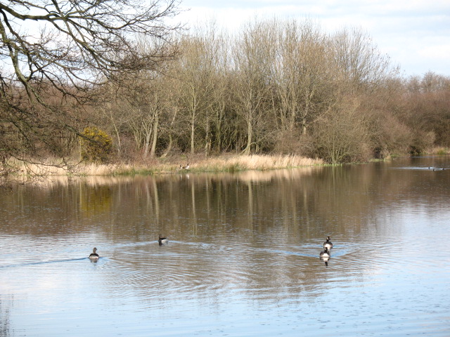
Bog Wood, located in Yorkshire, England, is a stunning forest that offers visitors a unique and enchanting experience. Covering an area of approximately 500 acres, this ancient woodland is renowned for its rich biodiversity and captivating scenery.

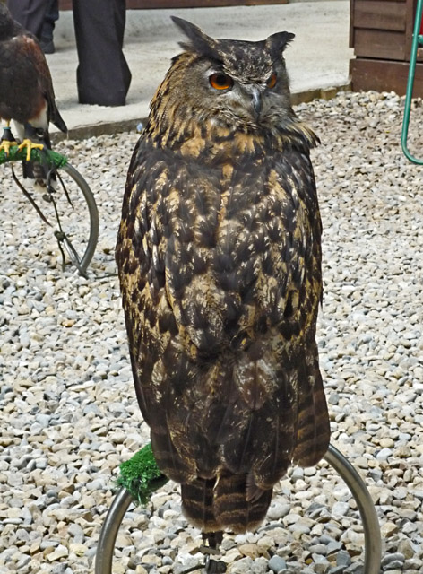
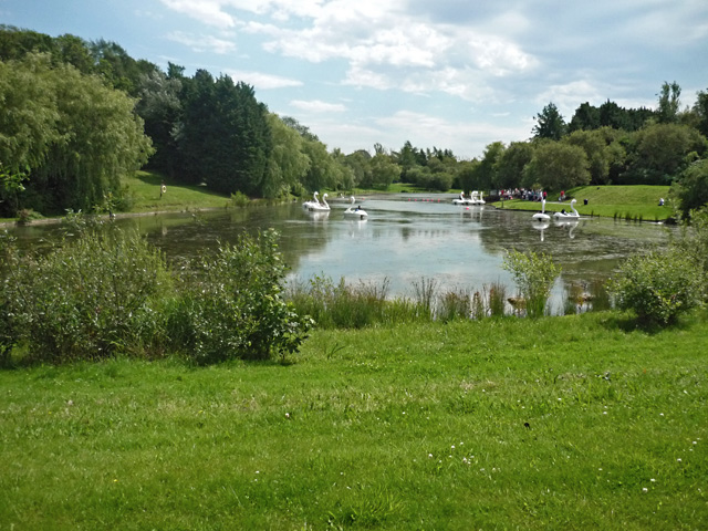
The forest is characterized by its dense canopy of towering oak and beech trees, which provide a habitat for a diverse range of flora and fauna. The forest floor is adorned with a lush carpet of ferns, mosses, and wildflowers, creating a vibrant and picturesque setting. Visitors can expect to encounter a variety of wildlife, including deer, squirrels, and numerous bird species.

Bog Wood is also notable for its fascinating history. The forest has been a source of timber for centuries, with evidence of human activity dating back to the medieval period. The forest was historically used for charcoal production, as well as providing materials for building and shipbuilding.

Today, Bog Wood is a popular destination for nature lovers, hikers, and photographers. The forest boasts several well-marked trails, allowing visitors to explore its beauty at their own pace. The tranquil atmosphere of the forest offers a perfect escape from the hustle and bustle of modern life.

In addition to its natural beauty, Bog Wood also offers educational opportunities. The forest is home to various educational centers and nature reserves, where visitors can learn about the importance of conservation and sustainable forestry practices.

Overall, Bog Wood is a truly remarkable destination that showcases the breathtaking beauty of Yorkshire's natural landscapes. With its diverse wildlife, captivating scenery, and rich history, this enchanting forest is a must-visit for anyone seeking a memorable and immersive outdoor experience.

If you have any feedback on the listing, please let us know in the comments section below.

Bog Wood Images

Images are sourced within 2km of 54.183501/-1.5577674 or Grid Reference SE2876. Thanks to Geograph Open Source API. All images are credited.

East Tanfield DMV The deserted medieval village site of East Tanfield. Not much to see other than humps and bumps, which one would assume are outlines of crofts and tofts.
East Tanfield DMV
The deserted medieval village site of East Tanfield. Not much to see other than humps and bumps, which one would assume are outlines of crofts and tofts.
River Ure A gentle flow during the summer. More torrential flows of the past are evidenced by the erosion on the opposite bank.
River Ure
A gentle flow during the summer. More torrential flows of the past are evidenced by the erosion on the opposite bank.
River Ure A view downstream.
River Ure
A view downstream.
Farm buildings at Musterfield
Musterfield Lane at Friar's Hurst
Farm buildings at Friar's Hurst
Musterfield Lane joins New Road
A footpath to North Stainley
New Road joins the A6108
Minor Road at Friar's Hurst
Bales, near Friar's Hurst
Stile on Footpath off New Road
Gateway to Sleningford Park
Road Junction A6108
Road Junction A6108
The Eagle's Claw, Lightwater Valley A thrillseeker's favourite at the theme park, swinging its passengers through over 180º at a variety of angles. The ride is, to those in the know, a ‘KMG Afterburner’.
The Eagle's Claw, Lightwater Valley
A thrillseeker's favourite at the theme park, swinging its passengers through over 180º at a variety of angles. The ride is, to those in the know, a ‘KMG Afterburner’.
Lightwater Valley, North Yorkshire Seen from the top of 'The Twister' ride at the theme park, and looking towards the 'Whirlwind' and Ultimate (roller coaster) rides in the distance.
Lightwater Valley, North Yorkshire
Seen from the top of 'The Twister' ride at the theme park, and looking towards the 'Whirlwind' and Ultimate (roller coaster) rides in the distance.
Owl at Lightwater Valley One of the residents of the Birds of Prey Centre at the theme park, here waiting to be photographed with visitors. My limited owl-identification skills suggest this may be a Eurasian Eagle Owl, but I'm happy to be corrected.
Owl at Lightwater Valley
One of the residents of the Birds of Prey Centre at the theme park, here waiting to be photographed with visitors. My limited owl-identification skills suggest this may be a Eurasian Eagle Owl, but I'm happy to be corrected.
The lake at Lightwater Valley Boating lake at the theme park, used for pedal boat rides
The lake at Lightwater Valley
Boating lake at the theme park, used for pedal boat rides
Show me another place!

Bog Wood is located at Grid Ref: SE2876 (Lat: 54.183501, Lng: -1.5577674)

Division: West Riding

Administrative County: North Yorkshire

District: Harrogate

Police Authority: North Yorkshire

What 3 Words

///fluctuate.hosts.store. Near Ripon, North Yorkshire

Related Wikis

North Stainley

North Stainley is a village in the Harrogate district of North Yorkshire, England 4 miles (6.4 km) north of Ripon. Historically part of the West Riding...

North Stainley with Sleningford

North Stainley with Sleningford is a civil parish in Harrogate district, North Yorkshire, England. The principal settlement and only village in the parish...
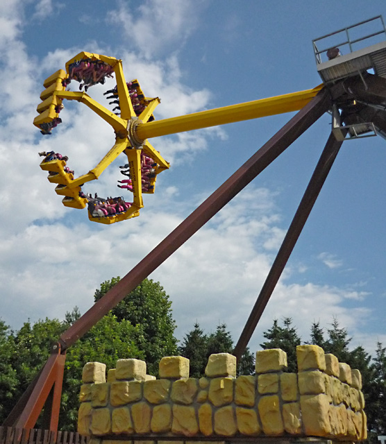
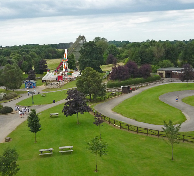
Lightwater Valley

Lightwater Valley Family Adventure Park is a theme park in North Stainley, North Yorkshire, England. The park was once home to Europe's longest roller...

The Ultimate (roller coaster)

The Ultimate was a steel roller coaster located at Lightwater Valley theme park in North Yorkshire, England. Manufactured by British Rail Engineering Limited...

Raptor Attack

Raptor Attack was an enclosed steel roller coaster at the Lightwater Valley theme park in North Yorkshire, United Kingdom. and was the world's first underground...

East Tanfield

East Tanfield is a civil parish in North Yorkshire, England. There is no modern village in the parish, and the population was estimated at 30 in 2013...

Sutton Grange, North Yorkshire

Sutton Grange is a small settlement in North Yorkshire, England, 2 miles (3 km) north west of Ripon. It was historically a township in the parish of Ripon...

Ripon Parks

Ripon Parks is a Site of Special Scientific Interest, or SSSI, situated north of Ripon, to the west of the River Ure and to the east of the village of...

Nearby Amenities

Located within 500m of 54.183501,-1.5577674
Turning Circle
Lat/Long: 54.1862168/-1.5610871
Disused Amenity: fuel
Lat/Long: 54.1852747/-1.5616075
Post Box
Post Box Type: lamp
Ref: HG4 51
Royal Cypher: GVIR
Royal Cypher Wikidata: Q33102169
Source: survey
Lat/Long: 54.1853547/-1.5617067
Parking
Source: survey
Lat/Long: 54.1798007/-1.5580044
Bus Stop
Lat/Long: 54.1858977/-1.5620823
Power: transformer
Lat/Long: 54.1867861/-1.5629702
Telephone
Booth: K6
Covered: booth
Lat/Long: 54.1868317/-1.5629192
Bus Stop
Lat/Long: 54.1859448/-1.5623264
Recycling
Lat/Long: 54.1855634/-1.5605141
Bench
Lat/Long: 54.1873732/-1.5596309
Information: route_marker
Tourism: information
Lat/Long: 54.1874462/-1.5596657
The Old Coach House
Guest House: bed_and_breakfast
Tourism: guest_house
Lat/Long: 54.1846638/-1.5608043
North Stainley in Photos
Artwork Subject: local_history
Artwork Type: gallery
Tourism: artwork
Lat/Long: 54.1853775/-1.5617584
Parish Noticeboard
Board Type: notice
Information: board
Tourism: information
Lat/Long: 54.1853693/-1.5617475
The data included in this document is from www.openstreetmap.org. The data is made available under ODbL.

Have you been to Bog Wood?

Leave your review of Bog Wood below (or comments, questions and feedback).