Quicksaw Plantation

Wood, Forest in Yorkshire

England

Quicksaw Plantation

A Trig with Neighbours According to this site there are 244,282 grid-squares containing land in Britain.
An accurate figure of the number of trig points still standing, though, isn't so easy to come by. This is mostly because the serious trig-bagging websites include in their lists the sites of now-destroyed ones, and also often list more minor structures involved in triangulation. (Though I'm sure if I got the hang of various filters in the complicated looking searchboxes it could be done). Online articles celebrating Rob Woodall's completion of all Britain's trig points in 2016 put the figure at 6,190.
Since this impressive feat took over a decade though - including a two-year wait for a landowner to grant access to one pillar - it is likely the figure is slightly lower now, due to them being destroyed or moved by landowners (they are not protected structures as a lot of people think), and general effects of the weather.
If 6,190 is taken as the figure, though, it means that there is a trig point for every 39 grid-squares, on average. Which makes this tiny part of Britain something of an anomaly I'm sure. Not only is there a trig point in the grid-square immediately West of this one; there is another two squares South of that one. This means that a 3x2 block contains three trig points. Since none of them sit on particularly difficult terrain, there is the very unusual possibility of visiting three trig points on a leisurely two to three hour circular walk.
This one's official name is 'Ringinglow', and it first got used in calculations in 1948. There is a moderate steady incline from the North, but on the opposite side the field dips down quite steeply.
A Trig with Neighbours Credit: Ian Dodds

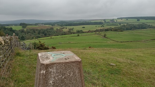
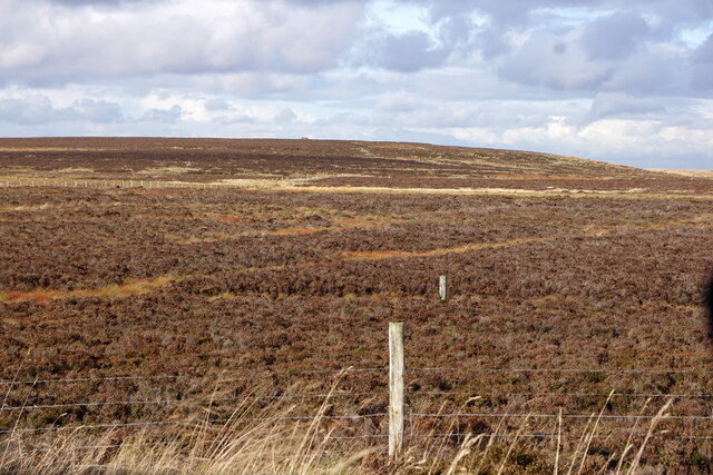
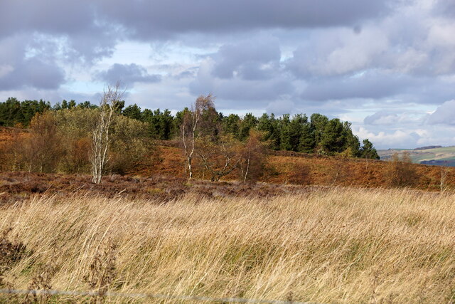
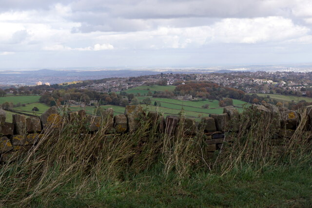
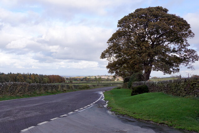
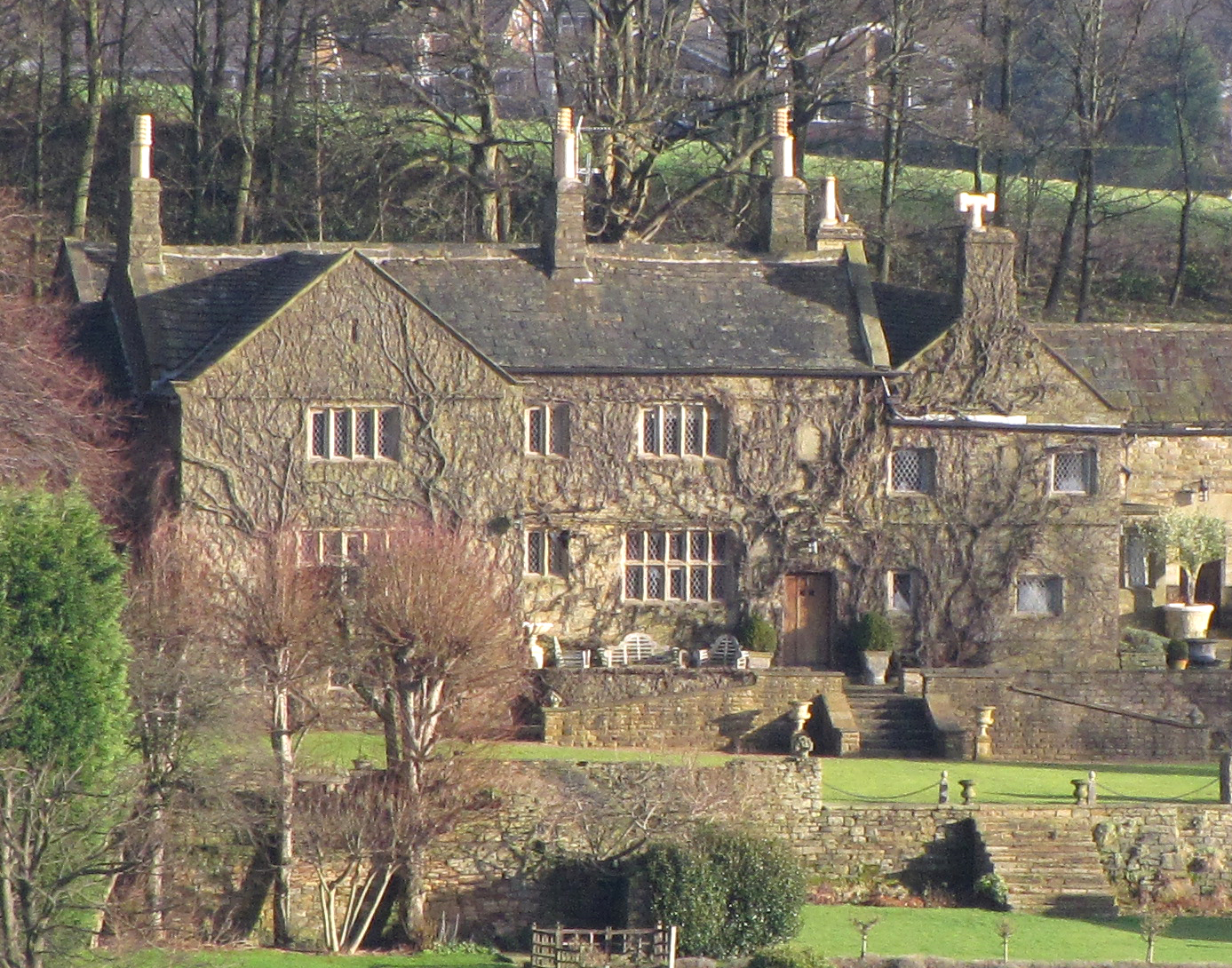
Quicksaw Plantation is a picturesque woodland located in the heart of Yorkshire, England. Covering an expansive area of lush greenery, it is a part of the wider Quicksaw Forest, which is renowned for its biodiversity and natural beauty. The plantation is situated on the outskirts of a quaint village, surrounded by rolling hills and meandering streams that enhance its idyllic charm.

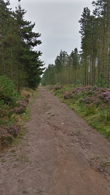
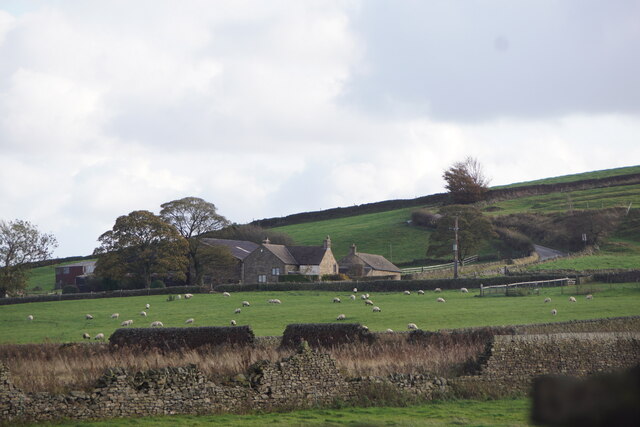
The woodland itself is predominantly composed of various species of native trees, including oak, birch, and pine, which create a dense canopy providing shade and shelter for an abundance of wildlife. The plantation is meticulously managed by a team of dedicated foresters, ensuring the preservation of its natural habitat and the sustainability of its ecosystem.

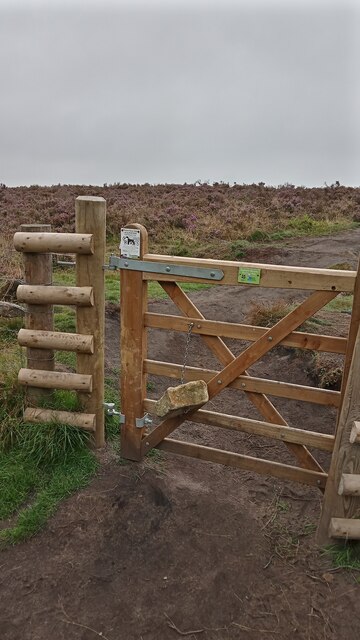
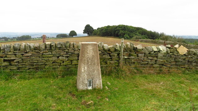
Quicksaw Plantation offers a haven for nature enthusiasts, hikers, and photographers who can explore the numerous well-marked trails that wind through its enchanting landscape. Along these paths, visitors can discover a diverse array of flora and fauna, from vibrant wildflowers to rare species of birds and mammals.

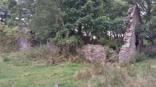
The plantation also holds historical significance, with remnants of ancient farming practices and evidence of charcoal production dating back centuries. This rich heritage adds an intriguing dimension to the experience of exploring the woodland, offering visitors a glimpse into the area's past.

Whether one seeks solace in nature, an opportunity to observe wildlife, or simply desires a peaceful retreat from the bustle of everyday life, Quicksaw Plantation is a destination that promises an unforgettable and rejuvenating experience.

If you have any feedback on the listing, please let us know in the comments section below.

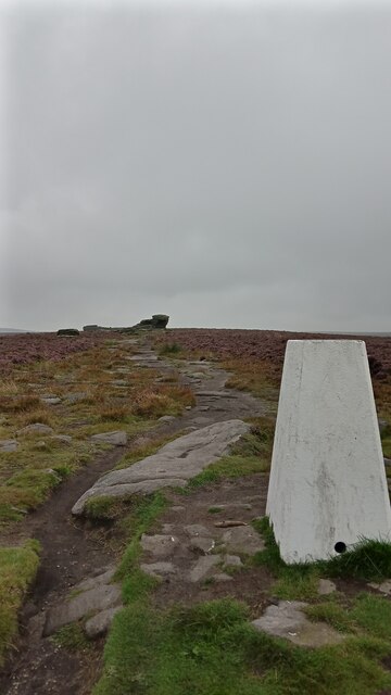
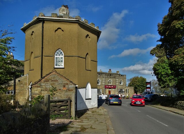
Quicksaw Plantation Images

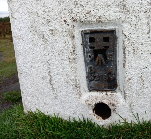
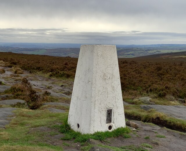
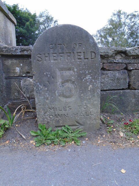
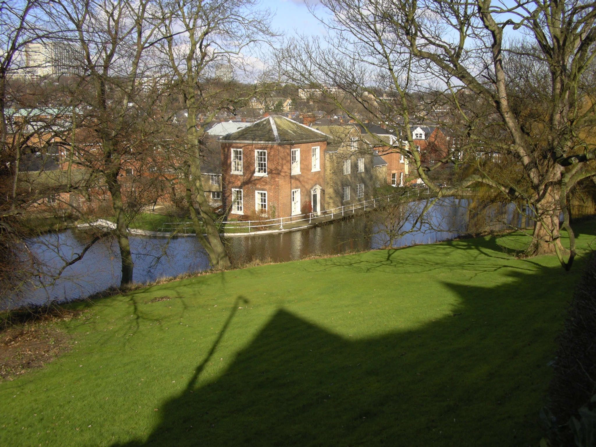
Images are sourced within 2km of 53.351367/-1.5677735 or Grid Reference SK2883. Thanks to Geograph Open Source API. All images are credited.

A Trig with Neighbours According to this site there are 244,282 grid-squares containing land in Britain.
An accurate figure of the number of trig points still standing, though, isn't so easy to come by. This is mostly because the serious trig-bagging websites include in their lists the sites of now-destroyed ones, and also often list more minor structures involved in triangulation. (Though I'm sure if I got the hang of various filters in the complicated looking searchboxes it could be done). Online articles celebrating Rob Woodall's completion of all Britain's trig points in 2016 put the figure at 6,190.
Since this impressive feat took over a decade though - including a two-year wait for a landowner to grant access to one pillar - it is likely the figure is slightly lower now, due to them being destroyed or moved by landowners (they are not protected structures as a lot of people think), and general effects of the weather.
If 6,190 is taken as the figure, though, it means that there is a trig point for every 39 grid-squares, on average. Which makes this tiny part of Britain something of an anomaly I'm sure. Not only is there a trig point in the grid-square immediately West of this one; there is another two squares South of that one. This means that a 3x2 block contains three trig points. Since none of them sit on particularly difficult terrain, there is the very unusual possibility of visiting three trig points on a leisurely two to three hour circular walk.
This one's official name is 'Ringinglow', and it first got used in calculations in 1948. There is a moderate steady incline from the North, but on the opposite side the field dips down quite steeply.
A Trig with Neighbours
According to this site there are 244,282 grid-squares containing land in Britain. An accurate figure of the number of trig points still standing, though, isn't so easy to come by. This is mostly because the serious trig-bagging websites include in their lists the sites of now-destroyed ones, and also often list more minor structures involved in triangulation. (Though I'm sure if I got the hang of various filters in the complicated looking searchboxes it could be done). Online articles celebrating Rob Woodall's completion of all Britain's trig points in 2016 put the figure at 6,190. Since this impressive feat took over a decade though - including a two-year wait for a landowner to grant access to one pillar - it is likely the figure is slightly lower now, due to them being destroyed or moved by landowners (they are not protected structures as a lot of people think), and general effects of the weather. If 6,190 is taken as the figure, though, it means that there is a trig point for every 39 grid-squares, on average. Which makes this tiny part of Britain something of an anomaly I'm sure. Not only is there a trig point in the grid-square immediately West of this one; there is another two squares South of that one. This means that a 3x2 block contains three trig points. Since none of them sit on particularly difficult terrain, there is the very unusual possibility of visiting three trig points on a leisurely two to three hour circular walk. This one's official name is 'Ringinglow', and it first got used in calculations in 1948. There is a moderate steady incline from the North, but on the opposite side the field dips down quite steeply.
Ruins of Barberfields Copperas Works / Copperas House or Farm This building was rejuvenated once before - hence the title - but it seems unlikely it will be put to any use again. Its original purpose seems to have been as an office, or works building, of a copperas chemical plant - this operated between the 1810s and 1870s. It definitely fell into disrepair shortly thereafter, as it is shown without a roof on a late 19th Century OS map. It then became a farmhouse, which was referred to as both Copperas House and Copperas Farm subsequently, but only as Copperas House on maps. The farm was abandoned in the late 1940s.
Not having a chemistry degree, I have been more than a bit out of my depth researching copperas, which is an actual proper substance (completely unrelated to copper it seems) that I had never heard of! The manufacturing of it, though, was a huge industry in Britain from the 1600s to the late 1800s. It was a used to produce sulphuric acid, which seems even to this day to be something of a wonder chemical. Back then it was mainly used for pen ink, and dying fabric. I can't figure out if it was actually black, or as close as they could get to it, but dark marking was its thing, and it was either used on its own to colour things, or in conjunction with other colours which enabled them to bind to the fabric faster.
The chemical stuff, as previously mentioned, is a bit confusing to the layman, but basically they got poor quality coal (for coal purposes anyway) known as pyrite out of the ground, and chucked it in a pit exposed to the elements for a couple of years. This stuff turned into green crystals when boiled, and when bolied again and then condensed was ready for action. Copperas was the legally required
dye for dark silk in Britain for several hundred years.
Ruins of Barberfields Copperas Works / Copperas House or Farm
This building was rejuvenated once before - hence the title - but it seems unlikely it will be put to any use again. Its original purpose seems to have been as an office, or works building, of a copperas chemical plant - this operated between the 1810s and 1870s. It definitely fell into disrepair shortly thereafter, as it is shown without a roof on a late 19th Century OS map. It then became a farmhouse, which was referred to as both Copperas House and Copperas Farm subsequently, but only as Copperas House on maps. The farm was abandoned in the late 1940s. Not having a chemistry degree, I have been more than a bit out of my depth researching copperas, which is an actual proper substance (completely unrelated to copper it seems) that I had never heard of! The manufacturing of it, though, was a huge industry in Britain from the 1600s to the late 1800s. It was a used to produce sulphuric acid, which seems even to this day to be something of a wonder chemical. Back then it was mainly used for pen ink, and dying fabric. I can't figure out if it was actually black, or as close as they could get to it, but dark marking was its thing, and it was either used on its own to colour things, or in conjunction with other colours which enabled them to bind to the fabric faster. The chemical stuff, as previously mentioned, is a bit confusing to the layman, but basically they got poor quality coal (for coal purposes anyway) known as pyrite out of the ground, and chucked it in a pit exposed to the elements for a couple of years. This stuff turned into green crystals when boiled, and when bolied again and then condensed was ready for action. Copperas was the legally required dye for dark silk in Britain for several hundred years.
Lady Canning's Plantation There are far more paths on the ground than on the map in this wood, including two recently purpose-built mountain bike trails - Europe's first to have been crowdfunded according to one site.
There doesn't seem to be anything definitive about its name, though there are a couple of discussions online about the mysterious Lady Canning. I have my own theory!
The Lady Canning that gets mentioned the most was the wife of Britain's shortest ever serving Prime Minister, George Canning, who died in office after less than four months in the job. There isn't a great deal written about her (in the usual places anyway), and she died in 1837. When she died the title then transferred to the wife of her only surviving son, Charles Canning, who also held government posts, but is best remembered for his roles in India : he was effectively the British guy in  charge there for a number of years, holding the posts of Governor-General and Viceroy.
The second Lady Canning (born Charlotte Stuart) spent the majority of her twenties and thirties as one of a select few in the inner circle of Queen Victoria. Her official job title was 'Lady of the Bedchamber', but her main duties revolved around accompanying the Queen at functions and making sure things were to her liking at them when required. She only left the post when her husband got dispatched to India.
Once there, she painted prolifically, and a few hundred of her pictures are held by the V&A in London. It is also mentioned that she was a keen botanist too, collecting bits of previously unseen plants (by her at least) on her travels. She died of malaria in India in 1861.
Considering that the later Lady Canning, on top of being important enough to supposedly have had an Indian dessert named in her honour (the 'ledikeni'), was a good friend of the Queen, was a recognized artist and plant collector, and that some of the oldest trees in the plantation have had their rings counted, showing a likely planting date in the 1850s or 60s, I rest my case! I think the name was probably given by a local landowning noble, to commemorate her, shortly after  her death.
Lady Canning's Plantation
There are far more paths on the ground than on the map in this wood, including two recently purpose-built mountain bike trails - Europe's first to have been crowdfunded according to one site. There doesn't seem to be anything definitive about its name, though there are a couple of discussions online about the mysterious Lady Canning. I have my own theory! The Lady Canning that gets mentioned the most was the wife of Britain's shortest ever serving Prime Minister, George Canning, who died in office after less than four months in the job. There isn't a great deal written about her (in the usual places anyway), and she died in 1837. When she died the title then transferred to the wife of her only surviving son, Charles Canning, who also held government posts, but is best remembered for his roles in India : he was effectively the British guy in charge there for a number of years, holding the posts of Governor-General and Viceroy. The second Lady Canning (born Charlotte Stuart) spent the majority of her twenties and thirties as one of a select few in the inner circle of Queen Victoria. Her official job title was 'Lady of the Bedchamber', but her main duties revolved around accompanying the Queen at functions and making sure things were to her liking at them when required. She only left the post when her husband got dispatched to India. Once there, she painted prolifically, and a few hundred of her pictures are held by the V&A in London. It is also mentioned that she was a keen botanist too, collecting bits of previously unseen plants (by her at least) on her travels. She died of malaria in India in 1861. Considering that the later Lady Canning, on top of being important enough to supposedly have had an Indian dessert named in her honour (the 'ledikeni'), was a good friend of the Queen, was a recognized artist and plant collector, and that some of the oldest trees in the plantation have had their rings counted, showing a likely planting date in the 1850s or 60s, I rest my case! I think the name was probably given by a local landowning noble, to commemorate her, shortly after her death.
Stone Hanging from a Gate I think the idea is that the weight of the stone ensures that the gate always shuts - it is completely ineffective, though, as the gate stays in whatever position it is left!
Such well-meaning work will have been carried out by the Peak District National Park Authority, who maintain the footpaths within the boundaries of the park. This area is on its far Eastern edge, fairly close to Sheffield.
The Peak District National Park was the first in Britain to be designated, in 1951, perhaps because there were trespass marches held on its land in the 1930s - one of which led to scuffles with gamekeepers, arrests, and imprisonments - which further pushed forward the case for public access to wild land. It covers part of four counties - Cheshire, Derbyshire, South Yorkshire and Staffordshire. Others followed fairly quickly, and there are now 15 national parks across Britain in total.
Stone Hanging from a Gate
I think the idea is that the weight of the stone ensures that the gate always shuts - it is completely ineffective, though, as the gate stays in whatever position it is left! Such well-meaning work will have been carried out by the Peak District National Park Authority, who maintain the footpaths within the boundaries of the park. This area is on its far Eastern edge, fairly close to Sheffield. The Peak District National Park was the first in Britain to be designated, in 1951, perhaps because there were trespass marches held on its land in the 1930s - one of which led to scuffles with gamekeepers, arrests, and imprisonments - which further pushed forward the case for public access to wild land. It covers part of four counties - Cheshire, Derbyshire, South Yorkshire and Staffordshire. Others followed fairly quickly, and there are now 15 national parks across Britain in total.
Ox Stones Trig Point The TrigpointingUK website is the best place to find out the serious stuff regarding Britain's 6,000+ trig points, plus there are often detailed write-ups from the various trig-baggers, which every now and again contain a few interesting titbits of information. One thing that always confuses me on there though is the seemingly arbitrary marking system that the baggers use to rate the trig. This one has marks that regularly vary between 5/10 and 10/10.
The interesting information about this one is that somebody called Alex applied four coats of white paint to it this April. Whoever Alex  is joined the trig-bagging community in April this year and secretly carried tins of white paint up to 10 trig points in England, then disappeared three weeks later. It isn't mentioned whether all of the trigs had previously been white, though older pictures confirm that this one was. Apart from being chased by a park ranger somewhere it seems to have been a successful short-lived hobby, and Alex always seems very proud of his or her work, often reporting how they can afterwards be clearly seen at great distances!
The trig pillar gets its name from the two big stones in the distance and stands at 419 metres. It was first computed - which I'm pretty sure means its height was officially determined so it could then be used for subsequent measurements itself - like so many of them, in 1948.
Ox Stones Trig Point
The TrigpointingUK website is the best place to find out the serious stuff regarding Britain's 6,000+ trig points, plus there are often detailed write-ups from the various trig-baggers, which every now and again contain a few interesting titbits of information. One thing that always confuses me on there though is the seemingly arbitrary marking system that the baggers use to rate the trig. This one has marks that regularly vary between 5/10 and 10/10. The interesting information about this one is that somebody called Alex applied four coats of white paint to it this April. Whoever Alex is joined the trig-bagging community in April this year and secretly carried tins of white paint up to 10 trig points in England, then disappeared three weeks later. It isn't mentioned whether all of the trigs had previously been white, though older pictures confirm that this one was. Apart from being chased by a park ranger somewhere it seems to have been a successful short-lived hobby, and Alex always seems very proud of his or her work, often reporting how they can afterwards be clearly seen at great distances! The trig pillar gets its name from the two big stones in the distance and stands at 419 metres. It was first computed - which I'm pretty sure means its height was officially determined so it could then be used for subsequent measurements itself - like so many of them, in 1948.
The Round House, Ringinglow People correctly  assume that this curious building was a toll house on the Sheffield-Buxton turnpike road that came into being in the middle of the eighteenth century. However, before that it was a farm and by 1785 it had become an inn under the instructions of Lord John Murray of Banner Cross who drove the turnpike project and was a significant landowner in the local region.
The Round House, Ringinglow
People correctly assume that this curious building was a toll house on the Sheffield-Buxton turnpike road that came into being in the middle of the eighteenth century. However, before that it was a farm and by 1785 it had become an inn under the instructions of Lord John Murray of Banner Cross who drove the turnpike project and was a significant landowner in the local region.
Rud Hill from Burbage Moor
Brown Edge, Ringinglow
Tree beside Fulwood Lane, near Ringinglow
Fulwood from Fulwood Head
Brown Hills Lane, near Fulwood
Peat Farm, near Fulwood
Trig Point above Firs Farm near Ringinglow
Oxstones, Triangulation Pillar The OS Flush Bracket S2159 is secured to the triangulation pillar at Oxstones.
Oxstones, Triangulation Pillar
The OS Flush Bracket S2159 is secured to the triangulation pillar at Oxstones.
Oxstones, Triangulation Pillar The OS Flush Bracket S2159 is secured to the triangulation pillar at Oxstones. The identifying brass plate is near the base of the pillar.
Oxstones, Triangulation Pillar
The OS Flush Bracket S2159 is secured to the triangulation pillar at Oxstones. The identifying brass plate is near the base of the pillar.
Old milestone At Ringinglow near the entrance to the Norfolk Arms PH car-park on the north side of the road is the 5 miles from Sheffield stone on the route of the Sheffield to Chapel-en-Le Frith of 1758.
Clearly a replacement as it is unlike the other stones on this route.  Sheffield Town Hall was built in the 1890s so perhaps this stone dates from the late 19C or early 20C.
Old milestone
At Ringinglow near the entrance to the Norfolk Arms PH car-park on the north side of the road is the 5 miles from Sheffield stone on the route of the Sheffield to Chapel-en-Le Frith of 1758. Clearly a replacement as it is unlike the other stones on this route. Sheffield Town Hall was built in the 1890s so perhaps this stone dates from the late 19C or early 20C.
Bole Hill, Fulwood
Bole Hill, Fulwood
Mayfield Chapel, Fulwood
Show me another place!

Quicksaw Plantation is located at Grid Ref: SK2883 (Lat: 53.351367, Lng: -1.5677735)

Division: West Riding

Unitary Authority: Sheffield

Police Authority: South Yorkshire

What 3 Words

///candle.invest.tonic. Near Hathersage, Derbyshire

Related Wikis

Limb Brook

The Limb Brook is a stream in Sheffield, South Yorkshire, England. It rises at the village of Ringinglow, flowing east through Whirlow and Ecclesall Woods...

Ringinglow

Ringinglow is a village in the western section of Sheffield, England. It is on the western border of Ecclesall Ward, and although it is within the boundary...

Porter Brook

The Porter Brook is a river which flows through the City of Sheffield, England, descending over 1,000 feet (300 m) from its source on Burbage Moor to the...

Fulwood Hall

Fulwood Hall, (archaic: Fullwood Hall) is an English country house situated on Harrison Lane in the suburb of Fulwood in Sheffield, England. It is a Grade...

Nearby Amenities

Located within 500m of 53.351367,-1.5677735
Ringinglow
Place: village
Wikidata: Q7334904
Lat/Long: 53.3494793/-1.5649037
Bus Stop
Ringinglow Road/The Norfolk Arms
Bench: no
Bin: yes
Bus: yes
Lit: no
Naptan AtcoCode: 370023395
Naptan Bearing: N
Naptan CommonName: Ringinglow Road/The Norfolk Arms
Naptan Indicator: 23395
Naptan Landmark: Outside Norfolk Arms/Phone Box
Naptan PlusbusZoneRef: ROTHCEN
Naptan Street: Ringinglow Road
Naptan Verified: no
Public Transport: platform
Shelter: no
Source: naptan_import
Tactile Paving: no
Lat/Long: 53.3497372/-1.5641424
Bus Stop
Ringinglow Road/The Norfolk Arms
Bench: no
Bin: yes
Bus: yes
Lit: no
Naptan AtcoCode: 370026894
Naptan Bearing: N
Naptan BusStopType: CUS
Naptan CommonName: Ringinglow Road/The Norfolk Arms
Naptan Indicator: 26894
Naptan Landmark: Outside Norfolk Arms/Phone Box
Naptan PlusbusZoneRef: ROTHCEN
Naptan Street: Ringinglow Road
Naptan Verified: no
Public Transport: platform
Shelter: no
Source: naptan_import
Tactile Paving: no
Lat/Long: 53.3496757/-1.5638525
Bench
Lat/Long: 53.3533671/-1.5736378
Bench
Lat/Long: 53.3543982/-1.566379
Bench
Lat/Long: 53.3541062/-1.5679333
Ringinglow Road/The Norfolk Arms
Bus: yes
Public Transport: stop_position
Lat/Long: 53.3496839/-1.5641232
Bench
Backrest: no
Check Date: 2021-05-06
Lat/Long: 53.3527822/-1.5716604
Bench
Backrest: no
Check Date: 2021-05-06
Lat/Long: 53.352883/-1.5721083
Parking
Access: yes
Capacity: 30
Fee: no
Parking: surface
Supervised: no
Surface: asphalt
Lat/Long: 53.3471967/-1.565646
Barrier: kissing_gate
Lat/Long: 53.3488459/-1.572137
Drinking Water: no
Natural: spring
Lat/Long: 53.3527013/-1.5681029
Ford: stepping_stones
Lat/Long: 53.3534698/-1.5696254
Barrier: stile
Foot: yes
Lat/Long: 53.3500082/-1.5620603
Barrier: stile
Foot: yes
Lat/Long: 53.3528331/-1.5629307
Drinking Water: no
Natural: spring
Lat/Long: 53.3533929/-1.5696425
Barrier: stile
Foot: yes
Material: stone
Stile: stepover
Lat/Long: 53.3486439/-1.5648341
Post Box
Collection Times: Mo-Fr 16:45, Sa 10:30
Post Box Type: wall
Ref: S11 191
Royal Cypher: VR
Royal Cypher Wikidata: Q33102356
Lat/Long: 53.3497721/-1.5640515
Parking
Access: yes
Fee: no
Parking: street_side
Lat/Long: 53.3497101/-1.5633513
Ringinglow Road/The Norfolk Arms
Bus: yes
Public Transport: stop_position
Lat/Long: 53.3497129/-1.563862
Bench
Backrest: no
Lat/Long: 53.3530242/-1.5728108
Tourism: picnic_site
Lat/Long: 53.3528477/-1.5718802
Marker: aerial
Lat/Long: 53.3500216/-1.5723253
Marker: post
Lat/Long: 53.3474851/-1.5713983
Bicycle Parking
Bicycle Parking: stands
Capacity: 4
Covered: no
Lat/Long: 53.3497332/-1.5640591
Grit Bin
Operator: Sheffield City Council
Operator Type: government
Operator Wikidata: Q7492609
Seasonal: no
Lat/Long: 53.3475727/-1.5652272
Defibrillator
Access: yes
Defibrillator Location: On the front wall of the Norfolk Arms.
Emergency: defibrillator
Indoor: no
Lat/Long: 53.3497866/-1.5642978
The data included in this document is from www.openstreetmap.org. The data is made available under ODbL.

Have you been to Quicksaw Plantation?

Leave your review of Quicksaw Plantation below (or comments, questions and feedback).