Black Bottoms Plantation
Wood, Forest in Yorkshire Hambleton
England
Black Bottoms Plantation

Black Bottoms Plantation is a picturesque estate located in the Wood, Forest region of Yorkshire, England. With its expansive grounds and charming countryside setting, it has become a popular destination for nature enthusiasts and history buffs alike.
The plantation covers several hundred acres of land, predominantly consisting of lush green fields, dense woodlands, and rolling hills. It is home to a diverse range of flora and fauna, including ancient oak trees, vibrant wildflowers, and various species of birds and small mammals.
The centerpiece of Black Bottoms Plantation is a grand Georgian-style mansion, which was built in the early 19th century. The mansion boasts exquisite architectural details, with its elegant white facade, tall columns, and large windows that offer breathtaking views of the surrounding landscape. Inside, visitors can explore beautifully furnished rooms, adorned with period furniture, intricate wallpaper, and ornate chandeliers.
The plantation also features a meticulously maintained garden, complete with manicured lawns, colorful flowerbeds, and meandering pathways. This tranquil oasis provides a peaceful retreat for visitors, allowing them to relax and enjoy the serene ambiance.
In addition to its natural beauty, Black Bottoms Plantation has a rich historical significance. It has been owned by the same prominent Yorkshire family for generations, and the mansion is filled with artifacts and memorabilia that showcase the estate's past. Guided tours are available, offering visitors a fascinating glimpse into the plantation's history and the lives of its former inhabitants.
Overall, Black Bottoms Plantation is a captivating destination that combines natural splendor with historical charm, making it a must-visit location for those seeking a quintessential Yorkshire experience.
If you have any feedback on the listing, please let us know in the comments section below.
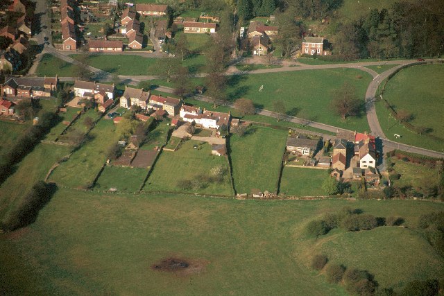
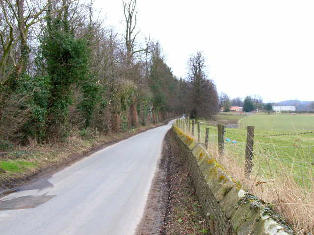
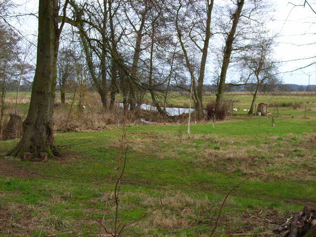
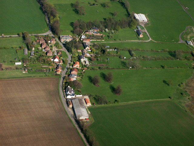
Black Bottoms Plantation Images
Images are sourced within 2km of 54.328889/-1.5578399 or Grid Reference SE2892. Thanks to Geograph Open Source API. All images are credited.


Black Bottoms Plantation is located at Grid Ref: SE2892 (Lat: 54.328889, Lng: -1.5578399)
Division: North Riding
Administrative County: North Yorkshire
District: Hambleton
Police Authority: North Yorkshire
What 3 Words
///baroness.hillsides.bedrooms. Near Bedale, North Yorkshire
Nearby Locations
Related Wikis
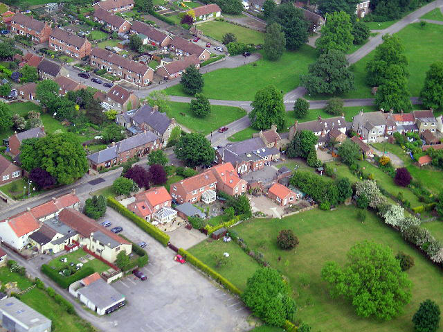
Little Fencote
Little Fencote is a small village in the Hambleton District of North Yorkshire, England. It is situated near Great Fencote and Kirkby Fleetham, about 1...

Fencote
Fencote or Great Fencote is a village in the Hambleton District of North Yorkshire, England. It is about 1 mi (1.6 km) east of the A1(M) motorway. It has...
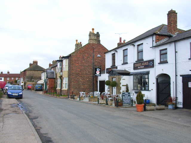
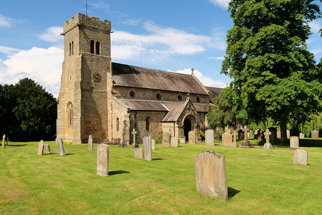
Scruton
Scruton is a village and civil parish in the Hambleton district of North Yorkshire, England. It is 4 miles (6 km) west of Northallerton. According to the...
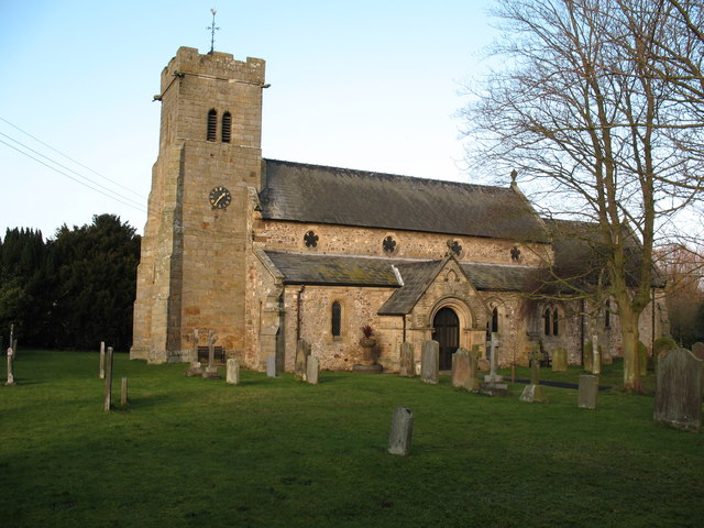
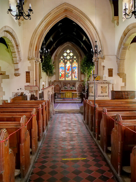
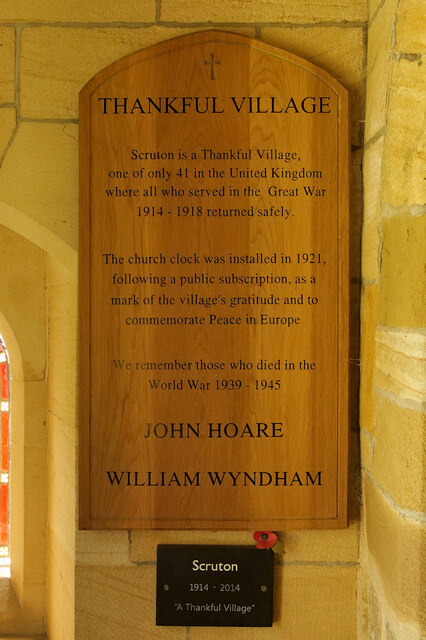
St Radegund's Church, Scruton
St Radegund's Church, Scruton is a Grade II* listed parish church in the Church of England: 335 in Scruton, North Yorkshire. == History == The church...
Kirkby Fleetham
Kirkby Fleetham is a village in the Hambleton District of North Yorkshire, England about 1 mile (1.6 km) east of the A1(M) road. Along with the two nearby...
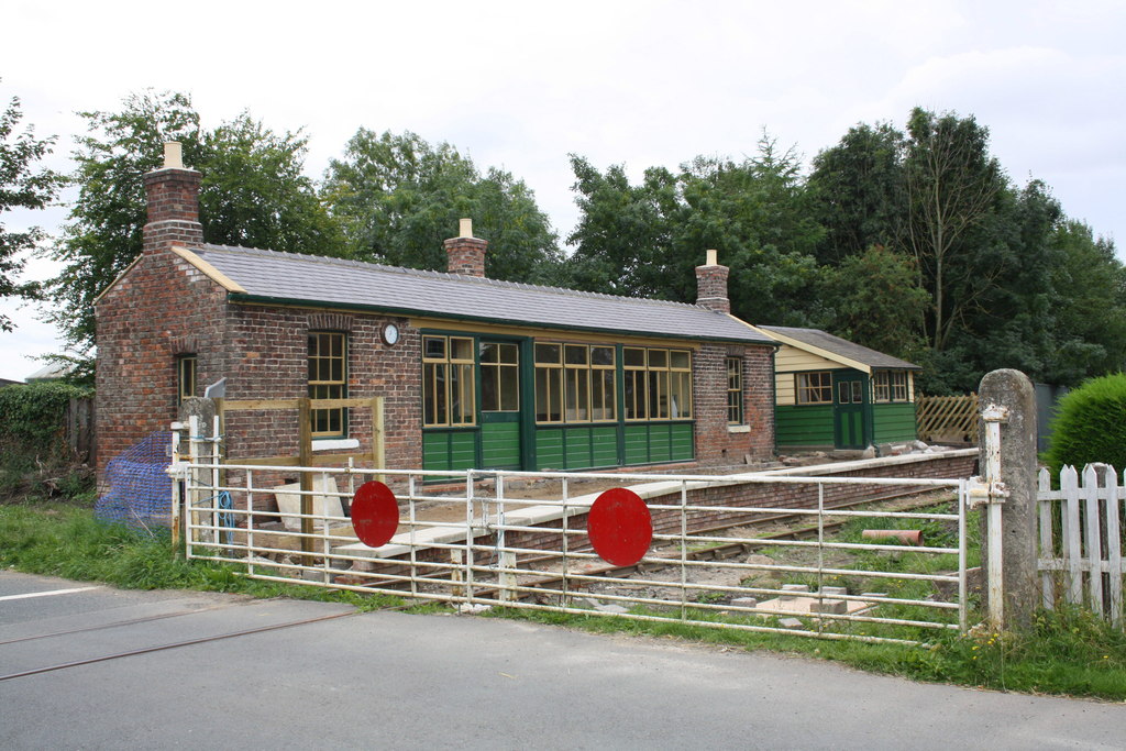
Scruton railway station
Scruton railway station is a restored railway station on the Wensleydale Railway that serves the village of Scruton, in North Yorkshire, England. ��2...
Little Langton
Little Langton is a hamlet and civil parish in North Yorkshire, England. The population of the hamlet was estimated at 50 in 2015. As the population remained...

Leeming Bar railway station
Leeming Bar railway station is a railway station in Leeming Bar, North Yorkshire, England. It is the eastern rail passenger terminus of the Wensleydale...
Nearby Amenities
Located within 500m of 54.328889,-1.5578399Have you been to Black Bottoms Plantation?
Leave your review of Black Bottoms Plantation below (or comments, questions and feedback).